
Boise (V-2)
$50.00
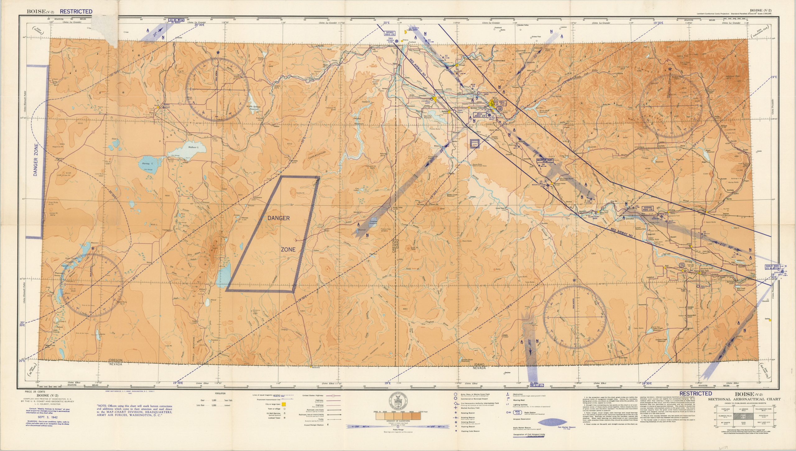
Large WWII-era aviation chart of the area around Boise, Idaho, issued at a scale of 1:500,000.
1 in stock
Description
This detailed aviation chart, the first edition, was published by the U.S. Coast and Geodetic Survey for use by Army Air Forces in 1942. The image, marked RESTRICTED, presents the region around Boise, Idaho during the fall of 1942. Elevation data, major landmarks, navigation beacons, airspace control areas, radio frequencies, and other relevant information is presented for use by pilots operating in the region. However, a warning in the lower left warns the audience that these features may change without notice! A large Danger Zone is shown south of Saddle Mountain, possibly because of the remote nature of the area.
Map Details
Publication Date: 1942
Author: Army Map Service
Sheet Width (in): 42.75
Sheet Height (in): 24.25
Condition: A
Condition Description: Color printed map with creasing and light wear along old folds. Very good condition overall. Blank on verso.
$50.00
1 in stock