
Blum’s Commercial Travelers’ Auto Map of New York
$80.00
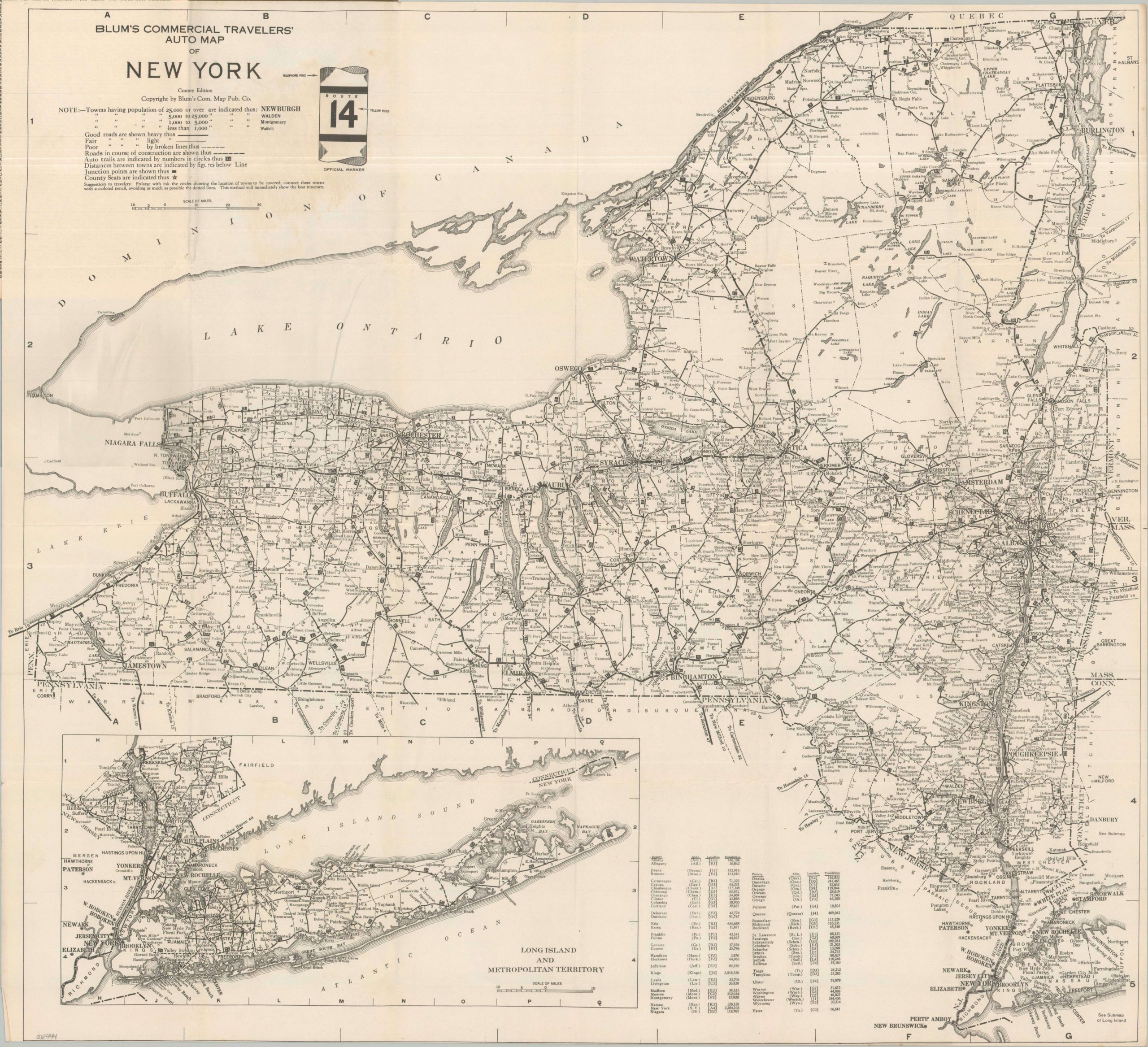
A mid-1920s road map to New York State.
1 in stock

Description
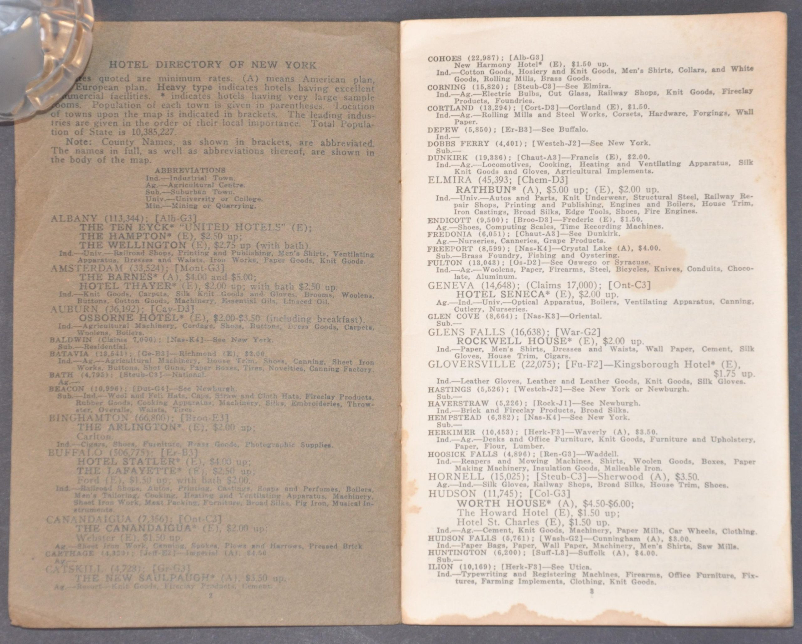
This straightforward map and guide to the roads of New York state was published around 1925 by Blum’s Commercial Map Publishing Company. A skeletal outline of the state’s numbered highways (first introduced in 1924) notes distances between points and approximate road surfaces (good, fair, poor, under construction). Toponyms label towns according to their population, with the accompanying guidebook (to which the map is affixed) including an index of all settlements with less than 500 residents. Also included is a hotel directory, with rates and amenities listed for each accommodation.
Map Details
Publication Date: c. 1925
Author: Blum's Commercial Map Publishing Company
Sheet Width (in): 26.00
Sheet Height (in): 23.90
Condition: A-
Condition Description: Large-single sided folding map (size given) affixed to an 18 pp. guidebook with original brown paper wraps (wrinkled) and stapled binding. Light wear along folds, including some wrinkling and small splits at joints and edges. Contents also show light wear, consistent with age and use. Very good condition overall.
$80.00
1 in stock