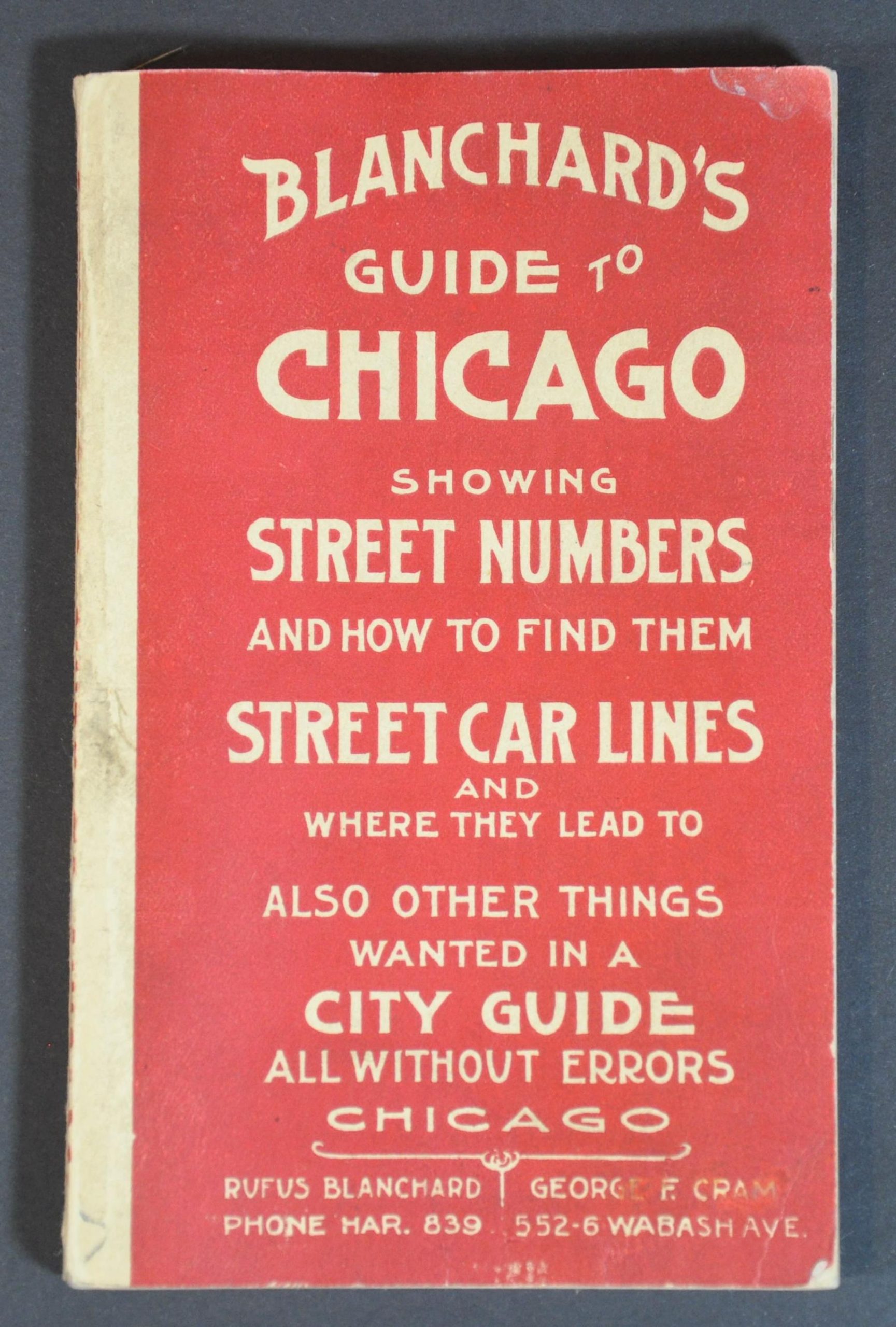
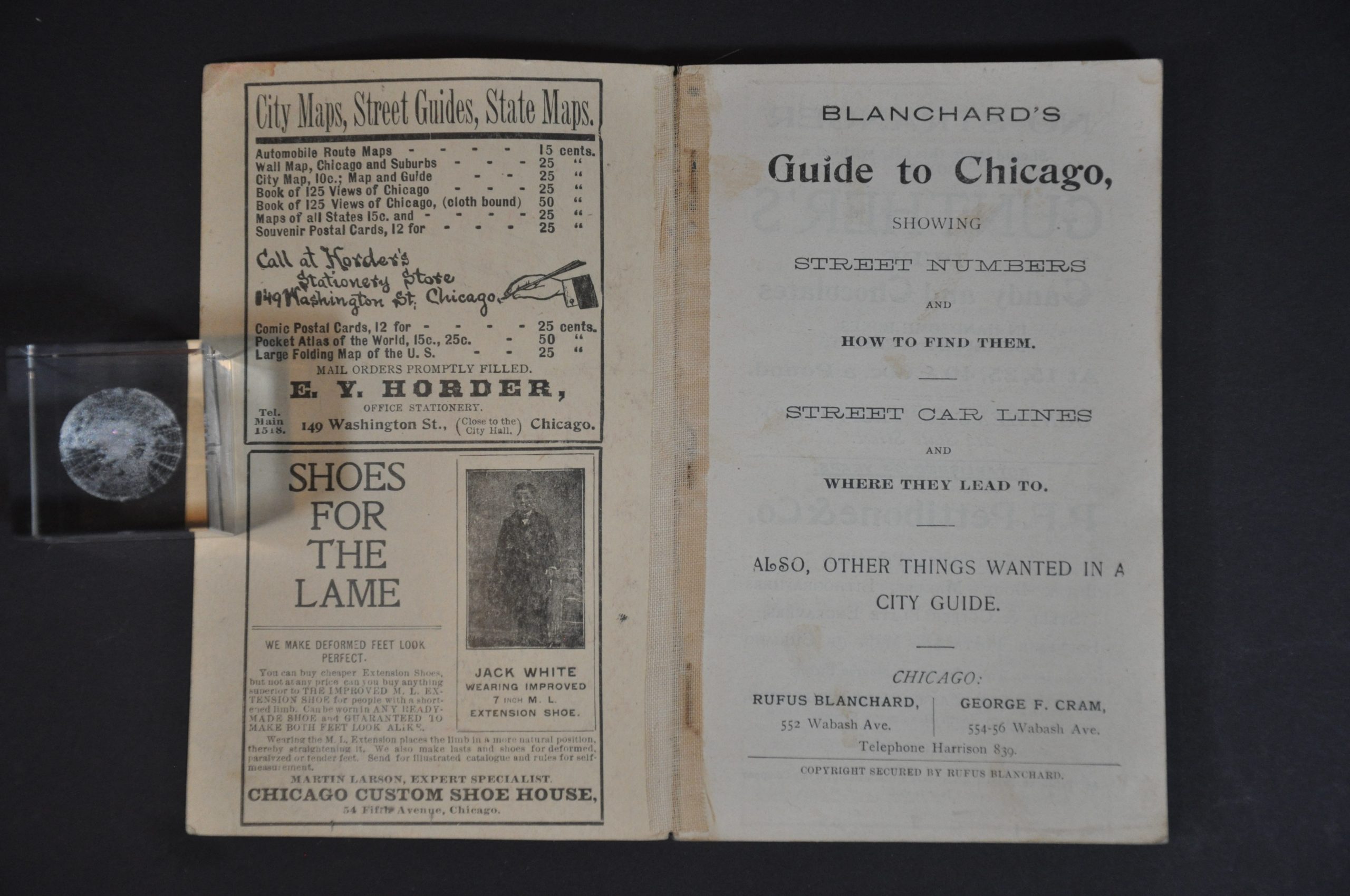
Blanchard’s Guide to Chicago [with] Blanchard’s Map of Chicago with the New Street Names
Chicago in 1906 – the year of the crosstown World Series between the Cubs and White Sox.
Out of stock
Description
Rufus Blanchard first began publishing maps in Chicago in the early 1850s, and is commonly considered the producer of the city’s first street guide (1857). He saw the Second City grow from a riverside cluster of wooden buildings to one of the premiere metropolises in the world and his maps document this spectacular growth with almost unparalleled accuracy.
This detailed guidebook to Chicago was published two years after Blanchard’s death, in 1906, in conjunction with George F. Cram. Its 270 pages provide an informative window into early 20th century Chicago. Apart from a comprehensive street index, the guide contains contemporary advertisements, lists of locations of interest, transportation rates, and a large folding map (disbound).
The latter shows the city between 71st and Diversey, with an inset in the upper right corner including an extension to Lawrence Avenue. A confusing array of red lines shows the myriad of transportation options available to a Chicago traveler in the late 19th century. Horse-drawn lines, cable cars, electric railways, elevated lines, and steam railroads area all shown – it would be the last year in operation for horse-drawn cars. Green wash color, applied by hand, highlights the system of connected parks and boulevards known colloquially as the ‘Emerald Necklace.’
Numerous public buildings and locations of interest like the Court House, transportation depots, and Union Stockyards are also labeled (The Jungle was published the same year as the map). In addition, the map sheds light on the old system of street naming; with north, west, and south divisions each having their own scheme. Further information is provided below the title, with descriptive text identifying the various changes in street names that took place to avoid direct conflict between divisions.
Source: Chicagology
Map Details
Publication Date: 1906
Author: Rufus Blanchard
Sheet Width (in): 23.75
Sheet Height (in): 38
Condition: A-
Condition Description: 270 pp. guidebook bound with staples to original red paper wraps. Contents are toned and lightly soiled, with a large ink stain on the back cover. The folding map is disbound and shows some creasing and faint toning/wear along fold lines, but remains in very good to near fine condition overall.
Out of stock


