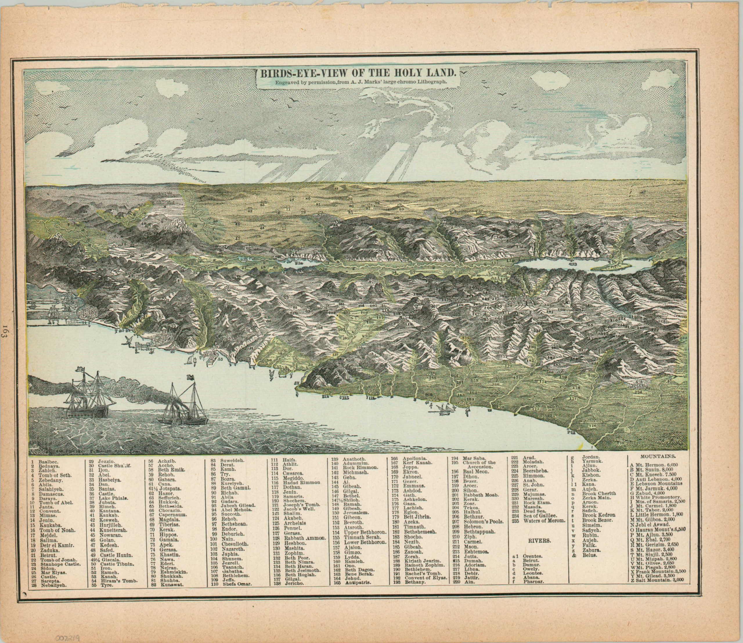
Birds-Eye-View of the Holy Land
The Levant as viewed from above the Eastern Mediterranean.
Out of stock
Description
This richly detailed bird’s eye view presents an almost tactile representation of the topography of the Holy Land. Scores of small villages, Biblical landmarks, and ancient cities are numbered throughout and labeled in the accompanying table, along with primary geographic features (rivers and mountains). Off the coast, a sidewheel steamer flies the Turkish flag, reflecting local Ottoman authority over the region.
The view, reduced from A.J. Mark’s larger chromolithograph, was engraved by George Cram and published in the 1887 edition of Gaskell’s New and Complete Family Atlas of the World.
Map Details
Publication Date: 1887
Author: George Cram
Sheet Width (in): 13.4
Sheet Height (in): 11.5
Condition: A-
Condition Description: Color printed map with moderate toning in the margins and a ragged upper edge, where previously bound. Some slight discoloration from the original printing (see the blue sky), but overall in very good condition.
Out of stock