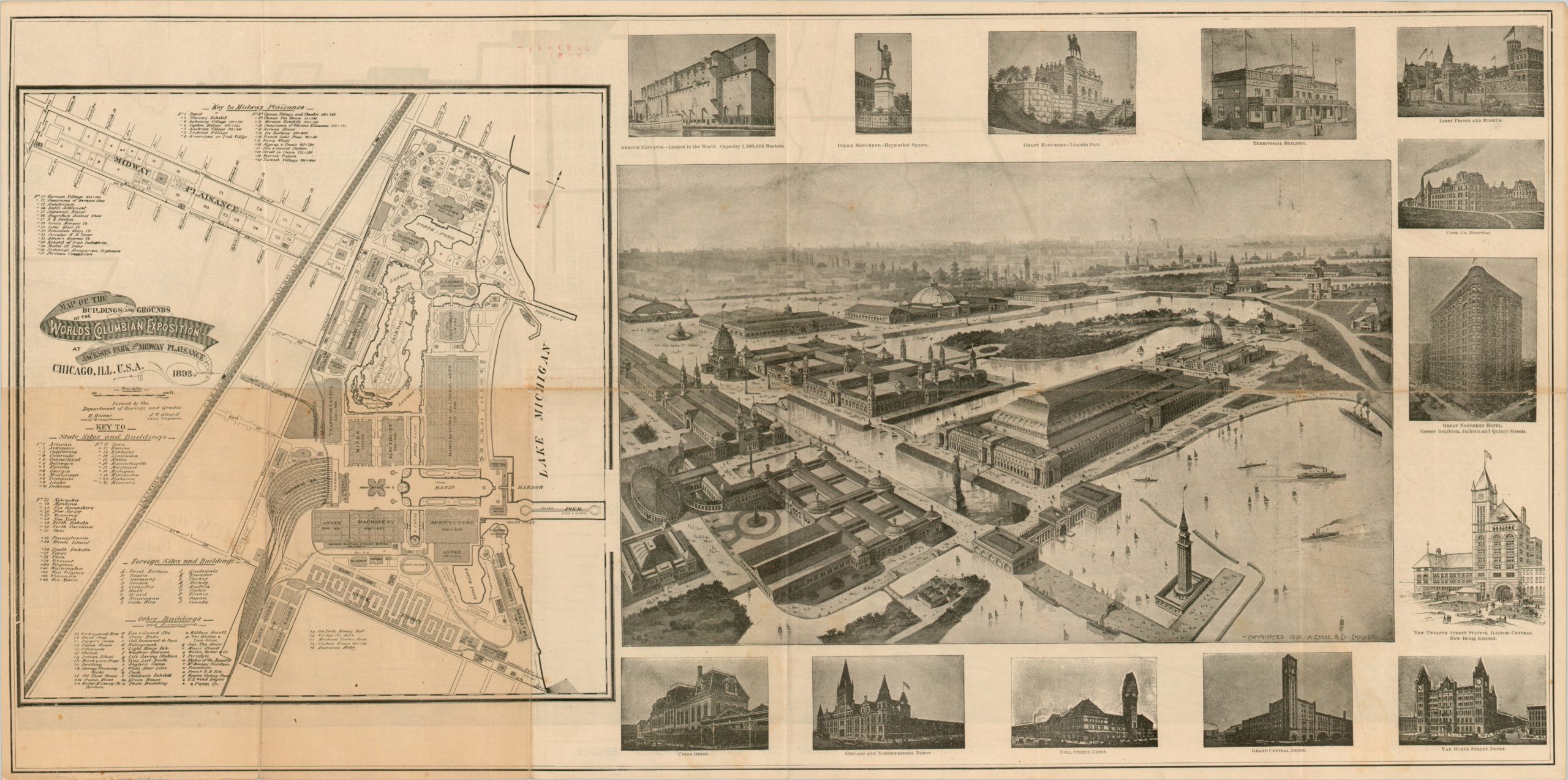
Bird’s Eye View of Chicago, 1893
Scarce view of Chicago published in conjunction with the 1893 World’s Fair held in the city.
Out of stock
Description
Like most views of the city published for the Columbian Exposition, this image of Chicago is oriented with west at the top to maximize space and emphasize accessibility to the fairgrounds in Jackson Park. Transportation routes via Lake Michigan, railroads, and streetcars allowed almost 30 million visitors to the World’s Fair over its 4-month run in 1893. (Note, the name “Columbian Expo” was chosen to celebrate the 400th anniversary of Columbus’ arrival to the New World).
The image, which stretches from Jackson Park in the south to Lincoln Park in the north, also shows the extensive and rapid rebuilding of the city that took place after the devastating fire in 1871. An inset map showing a largely fictitious view of Chicago in 1832 also alludes to the explosive growth and potential of The City of the Century. The print also prominently features the city’s extensive park and boulevard system (dubbed “The Emerald Necklace” by fairgoers), and identifies twenty-two important locations along the bottom.
On the verso are a magnificent bird’s eye view and a detailed large-scale plan of the exposition grounds. The map was published as a foldout to a corresponding guide to the fair titled The Illustrated Guide to the World’s Columbian Exposition, which is also present and in excellent shape.
Map Details
Publication Date: 1893
Author: Peter Roy
Sheet Width (in): 30.10
Sheet Height (in): 15.00
Condition: A-
Condition Description: Wear and minor discoloration along the outer edges in the bottom right corner. Some separation at the intersections of originally issued fold lines. Comes with the corresponding Illustrated Guide to the World's Fair and Chicago, also in excellent condition.
Out of stock


