
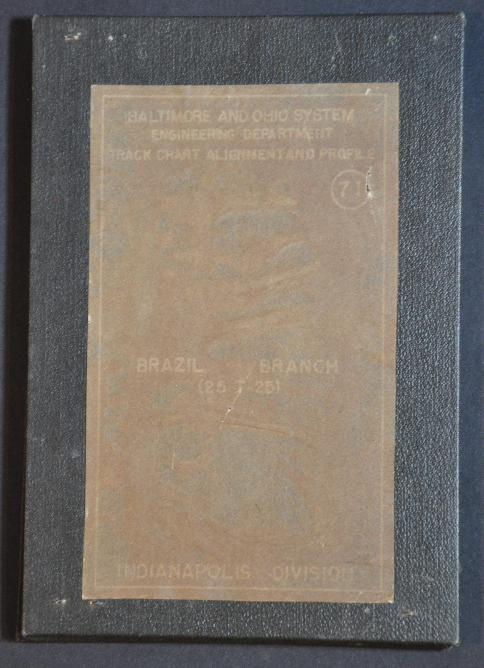
Baltimore and Ohio System Engineering Department Tack Chart Alignment and Profile Brazil Branch Indianapolis Division
$95.00
Mapping an abandoned railroad track in Southern Indiana.
1 in stock


Description
This intricately detailed track alignment chart and line profile was published in 1958 by the Office of the Chief Engineer of the Baltimore & Ohio Railroad. It shows the Brazil Branch of the B&O’s Indianapolis Division, running approximately 25 miles between Brazil, Indiana, and the unincorporated community of West Melcher (Brazil Junction, near Montezuma). The upper portion of the fold-out sheet shows an elevation diagram of the route, while the lower half presents a map of the line, noting major railroad infrastructure like crossings, depots, coaling stations, water tanks, and more. The Brazil Branch was abandoned less than a decade after publication.
Map Details
Publication Date: 1958
Author: H. Dawkins
Sheet Width (in): 37.25
Sheet Height (in): 6.1
Condition: B
Condition Description: Single-sided blueprint map/profile, folded accordion-style into original black leather boards with stickered title block. Scattered oxidiziation from old staples affects the sheet in several places, concentrated primarily on the far right and left panels. Tearing along the outer edges, though the image is not substantially affected. About good condition overall.
$95.00
1 in stock