
Automobile Road from Redlands to Big Bear Lake Resorts
$40.00
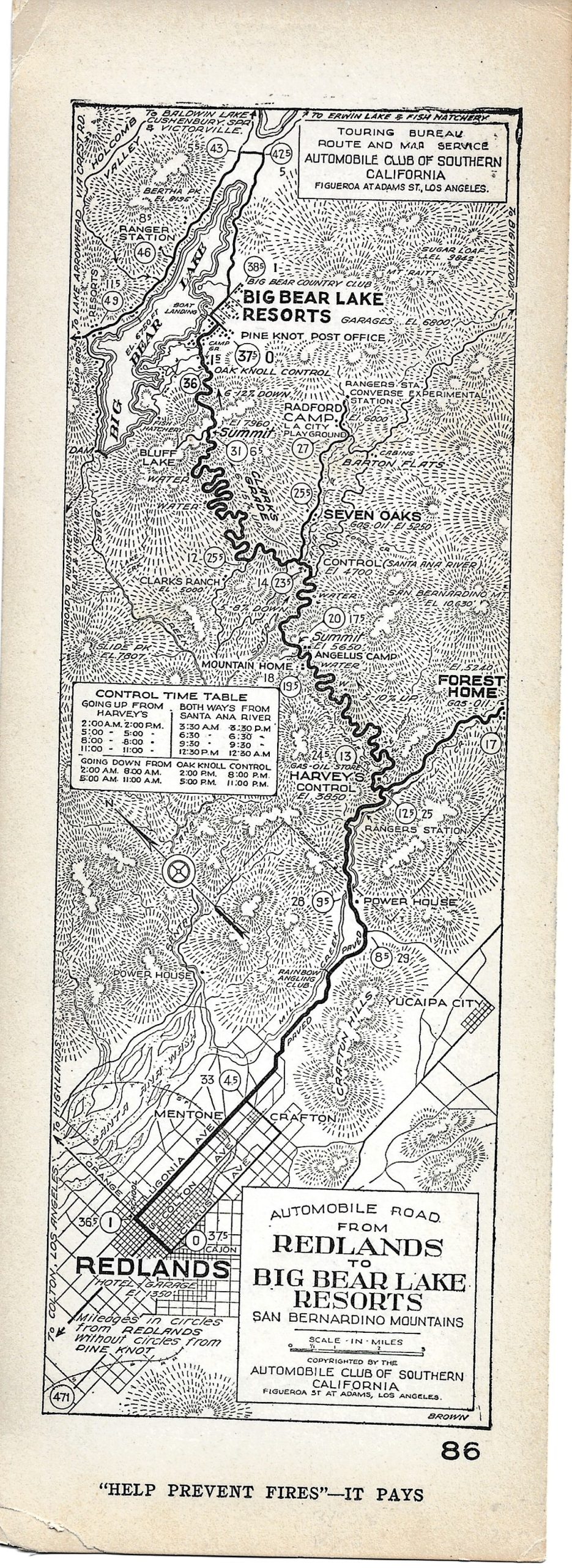
1920s strip map showing the roads between Redlands and the resorts around Big Bear Lake.
1 in stock
Description
The Automobile Club of Southern California (ACSC) was established in Los Angeles in 1900 as one of the nation’s first public organizations dedicated to improving conditions for the growing number of motorists. It predated the organization of the American Automobile Association (AAA) by two years and, as early as 1906, began sending teams of cartographers to chart the road network across California (and erect road signs).
The subsequent maps and guides were instrumental in promoting motor tourism during the early 20th century and provide a fascinating contemporary snapshot of towns and transportation networks.
One popular format introduced in the early 1920s was strip maps printed on cardstock and oriented vertically, possibly to allow for a better view while driving. Major towns, geographic features, and motorist camps are labeled throughout the image. Occasionally, a list of garages is printed on the verso (seen here).
This example, oriented with east at the top, shows the roads between the city of Redlands and the resorts around Big Bear Lake. A Control Time Table dictating the directions of one-lane roads can be seen in the center-left.
The map was designed by ACSC cartographer Elmer J. Brown and published in Los Angeles around 1926.
Source: Homestead Museum; American Roads;
Map Details
Publication Date: c. 1926
Author: Elmer Brown
Sheet Width (in): 3.75
Sheet Height (in): 10.25
Condition: A-
Condition Description: Single sided strip map printed on cardstock. Creased corners and lightly toned around the outer edges. Very good overall.
$40.00
1 in stock