Auto Trails Map of Colorado
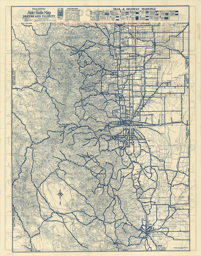
Early road map of Colorado with oil advertisements and map of Denver on verso.
Out of stock

Description
Despite its visual similarity to a later, modern interstate map of the state, this trail map of Colorado was produced early on in the development of road travel. Individual trails and highways had unique markings posting alongside the route; The Spanish Trail, Rainbow Route, Plains Mountain Highway and Blue Line are a few examples whose symbols can be seen in the upper right corner of the sheet. Vehicles were less reliable, so service stations were a necessary part of all automobile tourism in the 1920’s. Fortunately, the locations of Continental Oil service stations have been helpfully circled in red and the quality of road, varying from dirt to paved, is indicated in the key. Elevation, distances between towns, and gradient information is all available so as to allow the traveler to plan accordingly on their route across the Great Divide.
On the verso is a similar trail map of Denver and the surrounding area, including Colorado Springs, Loveland, and the foothills of the Rocky Mountains.
Map Details
Publication Date: c. 1925
Author: Rand McNally
Sheet Width (in): 21.75
Sheet Height (in): 28
Condition: A-
Condition Description: The map, although published on thin paper, is in excellent shape. Small spots of adhesive residue in the margins and minor edge tears are the only defect.
Out of stock