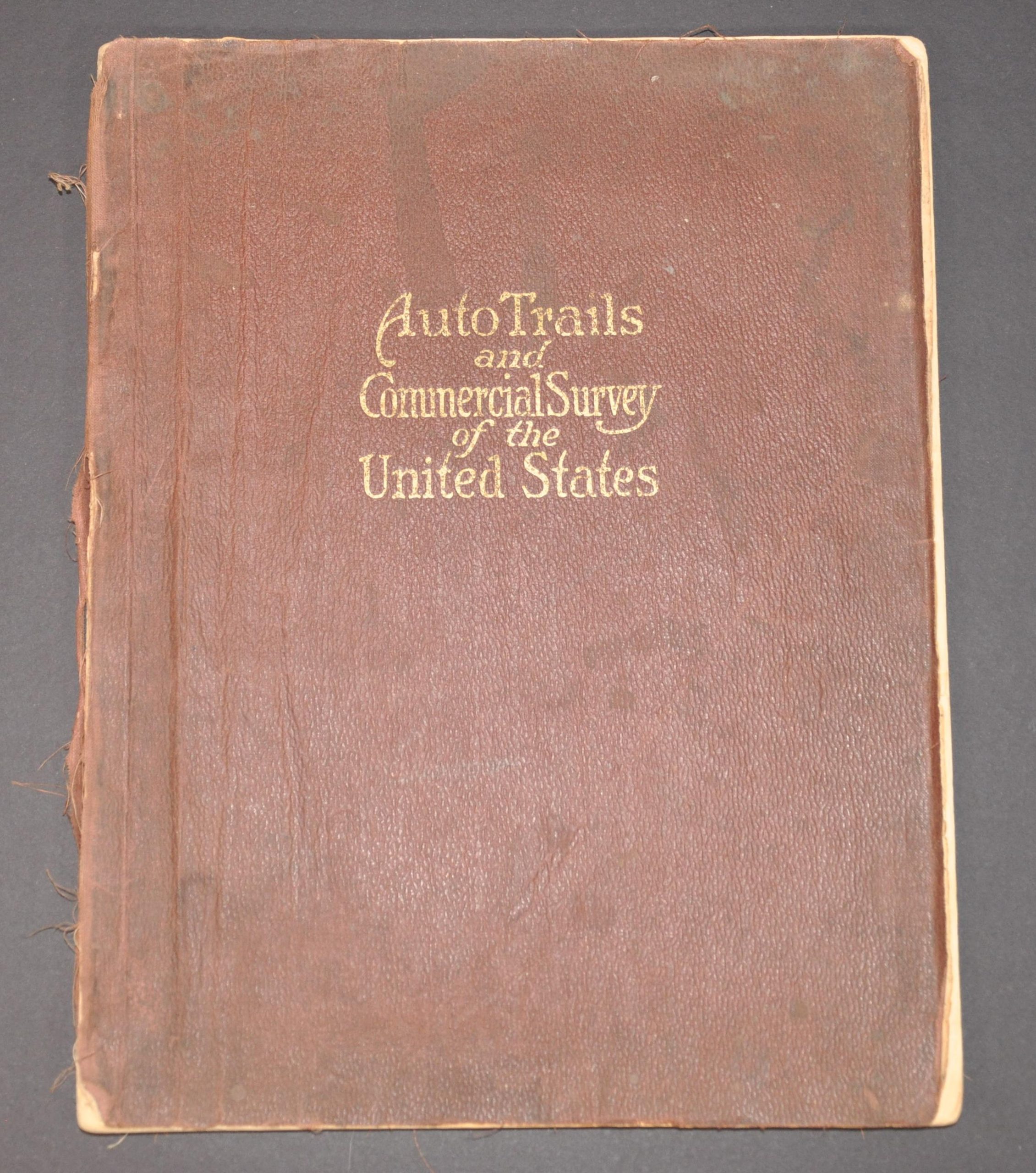
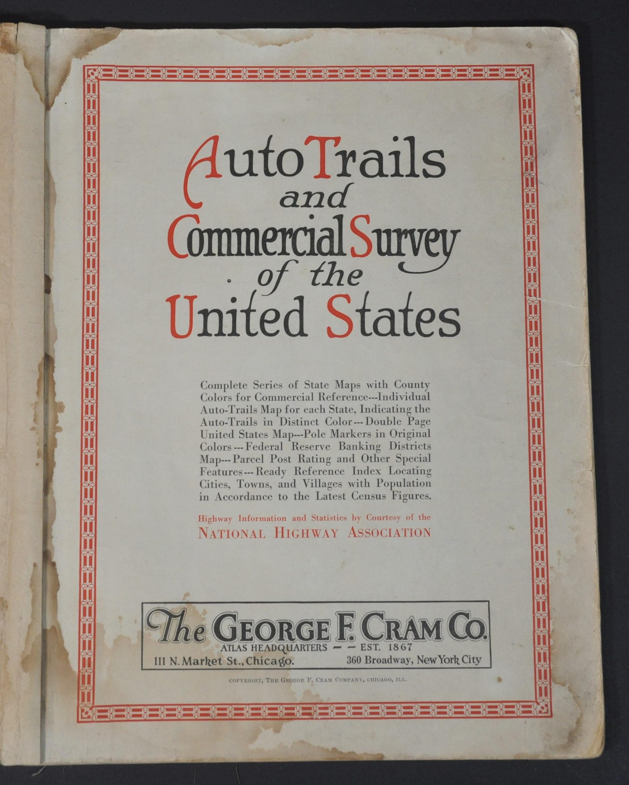
Auto Trails and Commercial Survey of the United States
$250.00
One of the earliest auto atlases published in the United States.
1 in stock


Description
This wonderful relic from the early days of automobile tourism is one of the first atlases dedicated to the road conditions of the United States. Published in Chicago by the George F. Cram Company around 1921, the volume presents two different maps of each state.
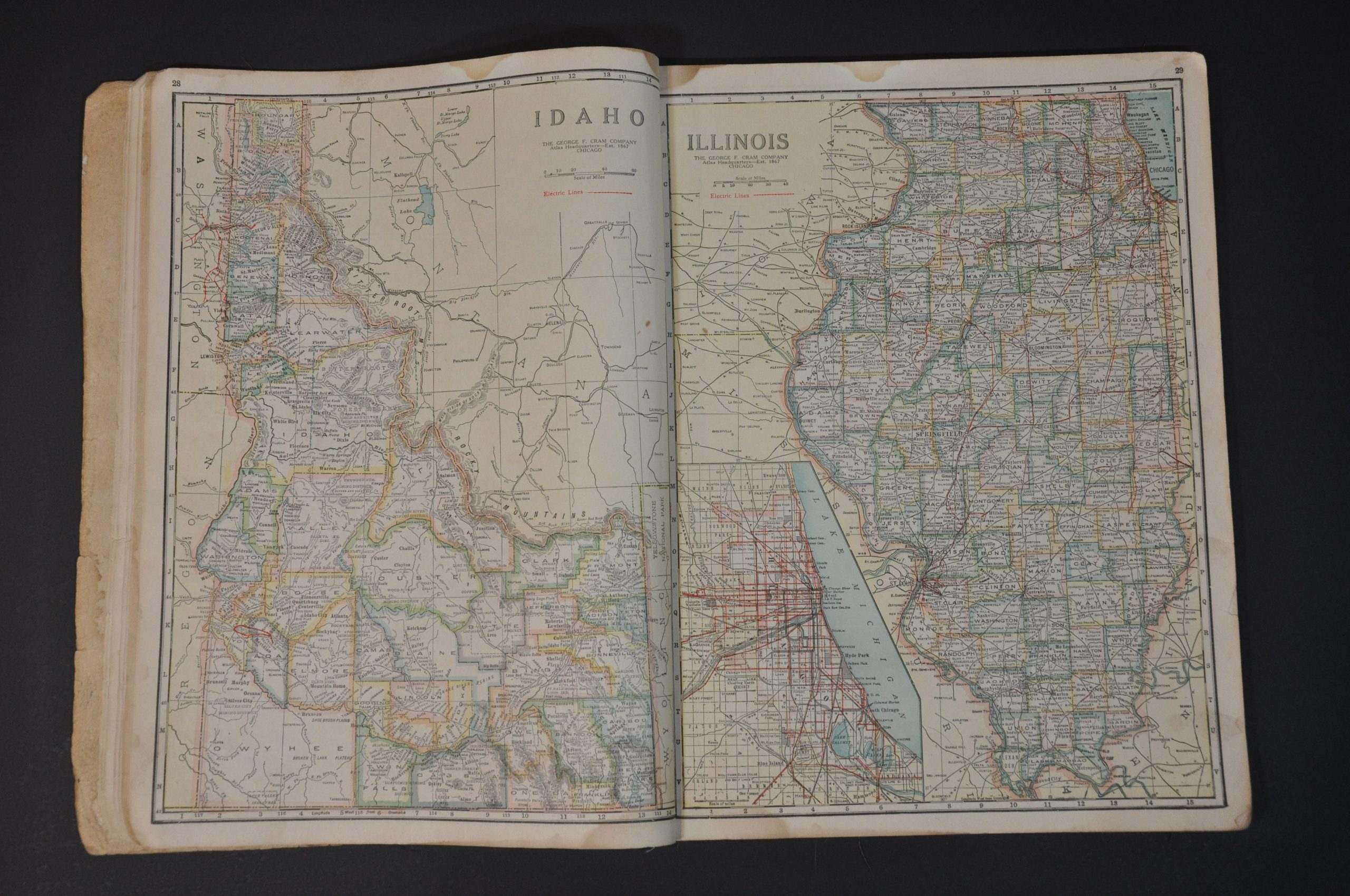
One is typical of 20th century atlas maps – a detailed lithograph with county outlines highlighted in vibrant colors. Railroads are noted throughout, with electric lines shown in red. Topography is depicted in hachure and an interesting variety of locations of interest and geographic features are labeled throughout.
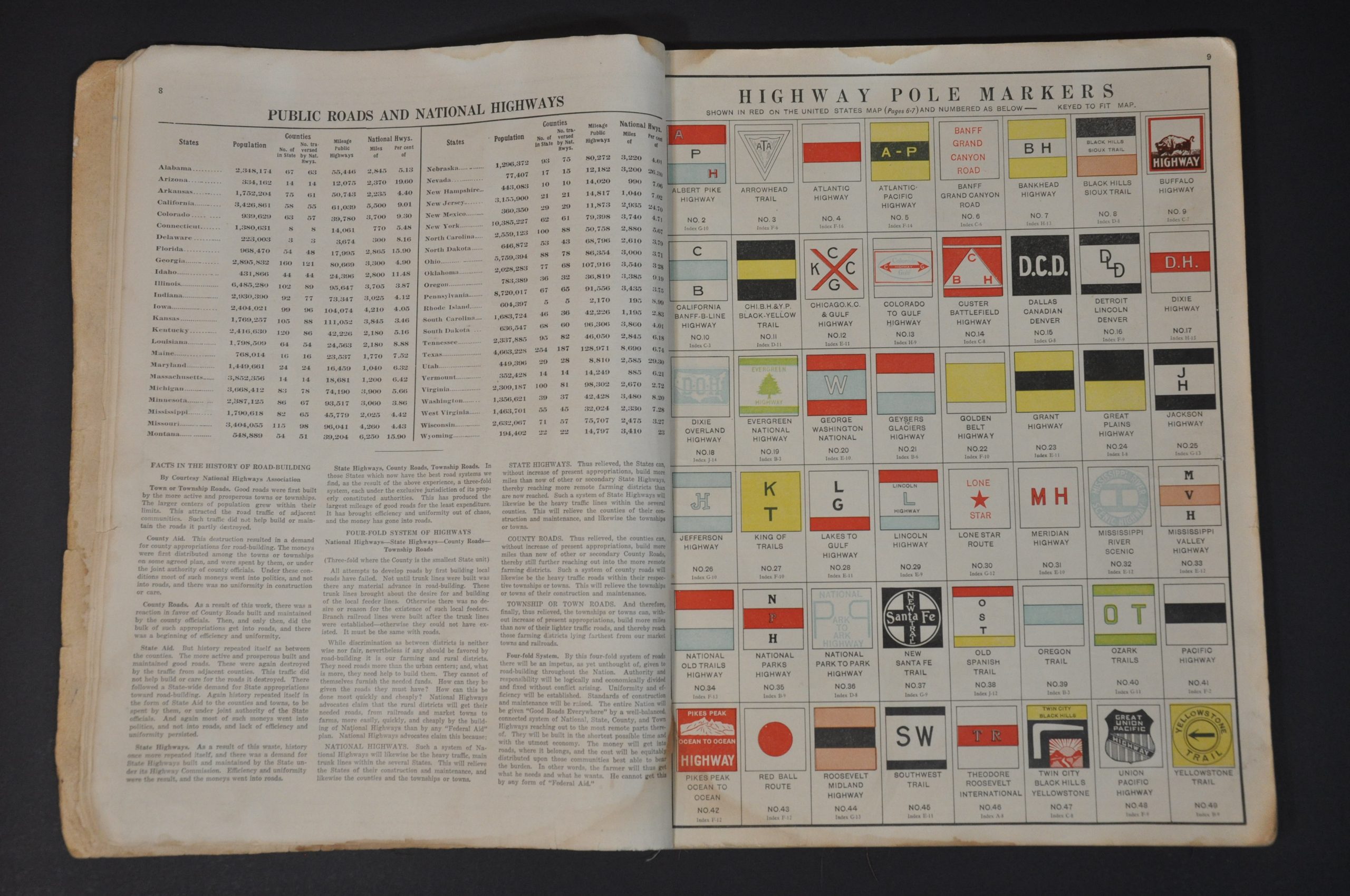
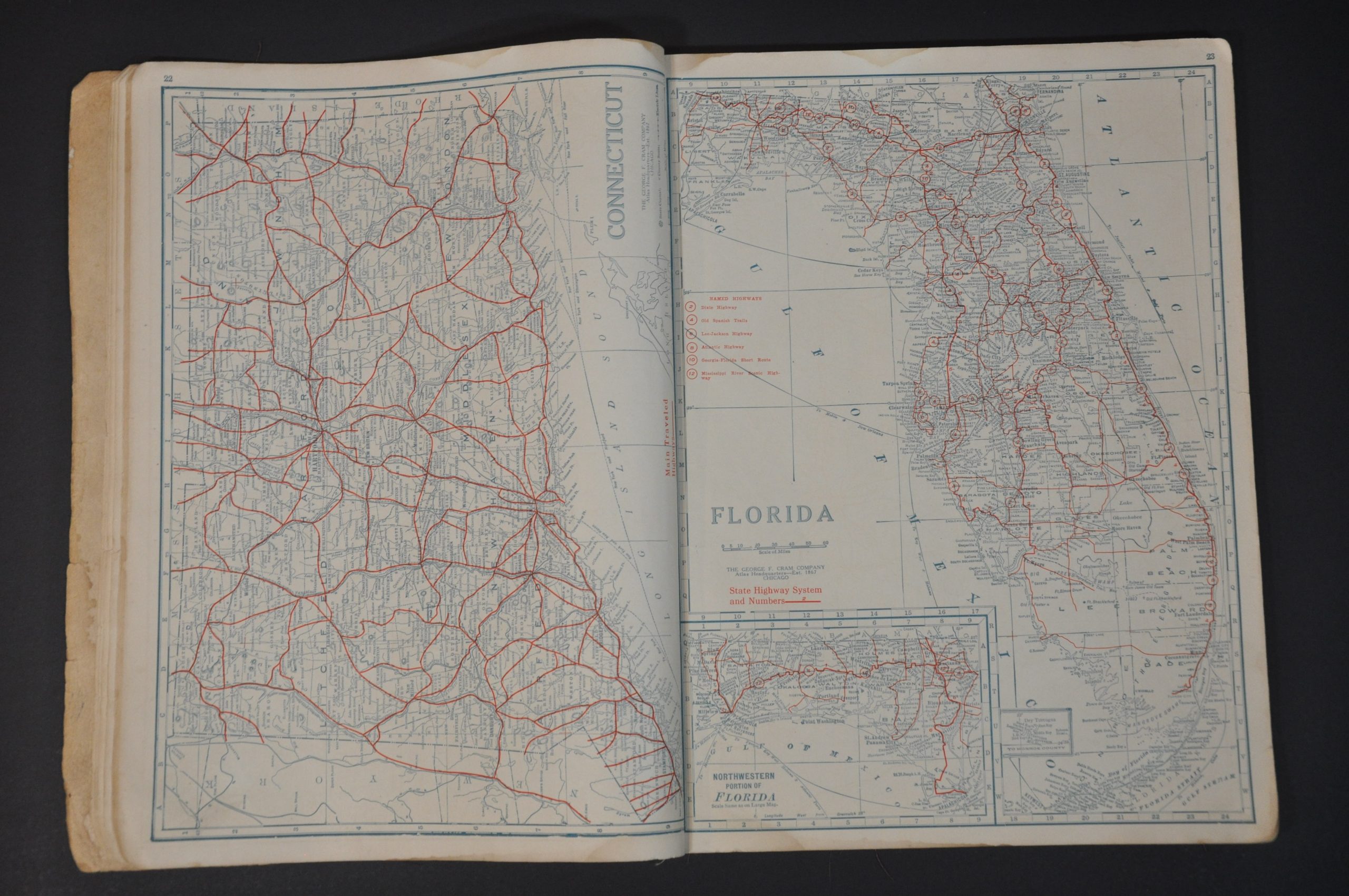
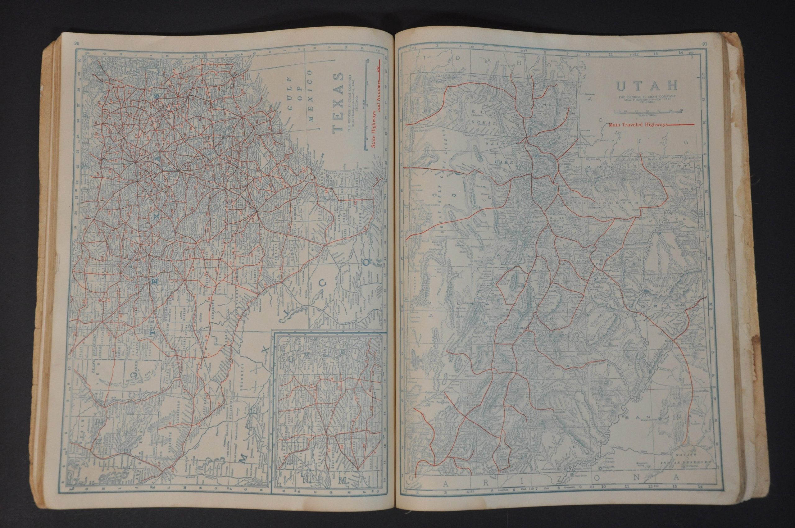
In addition to the ‘standard’ map, the atlas also repurposes each plate into a monotone road map that highlights the primary highways and connecting roads in bright red. Predating the U.S. Numbered Highway System, most routes are identified by their corresponding trail name. A visual guide to the pole markings identifying these ‘auto trails’ is provided near the front of the volume.
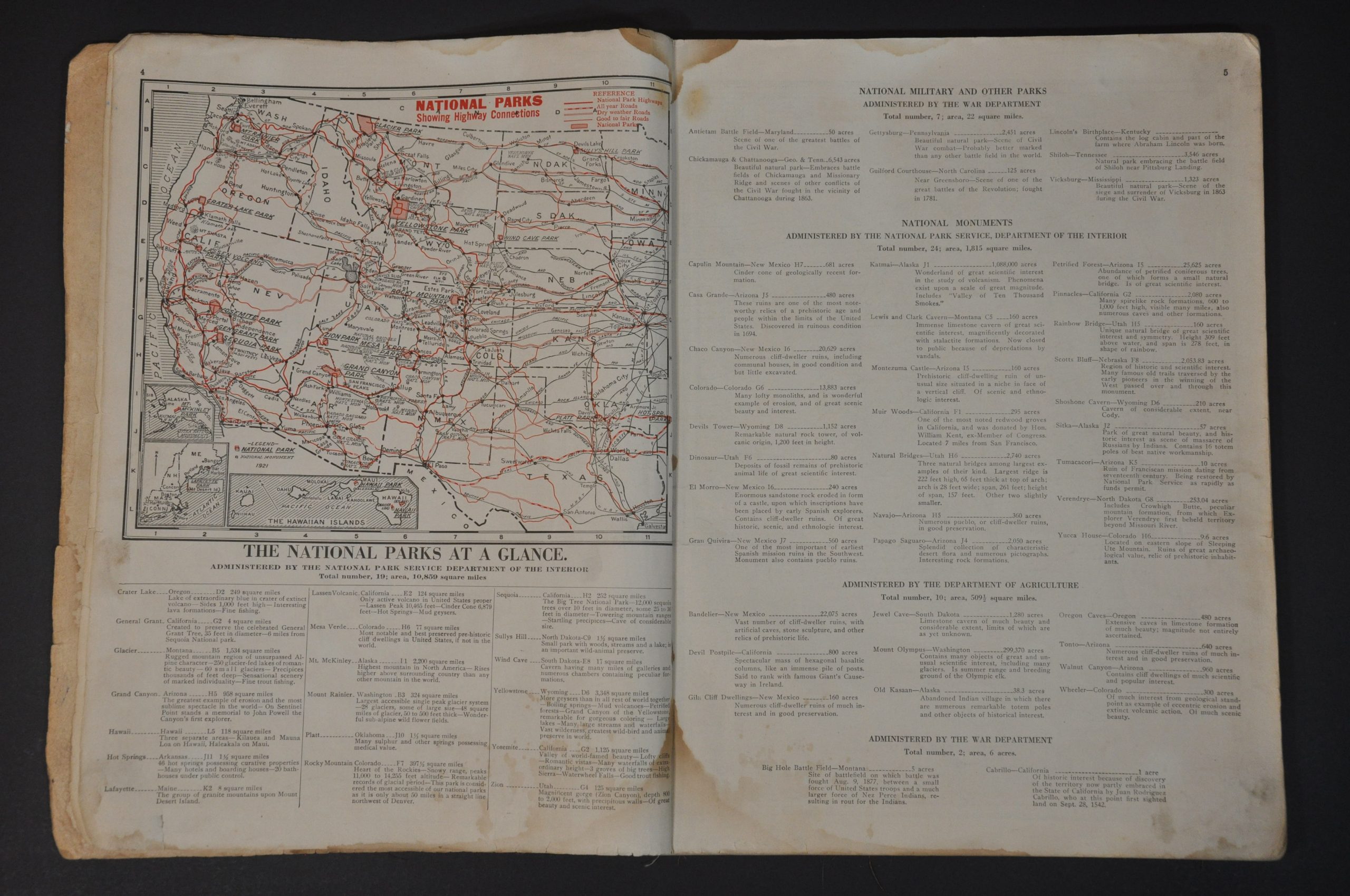
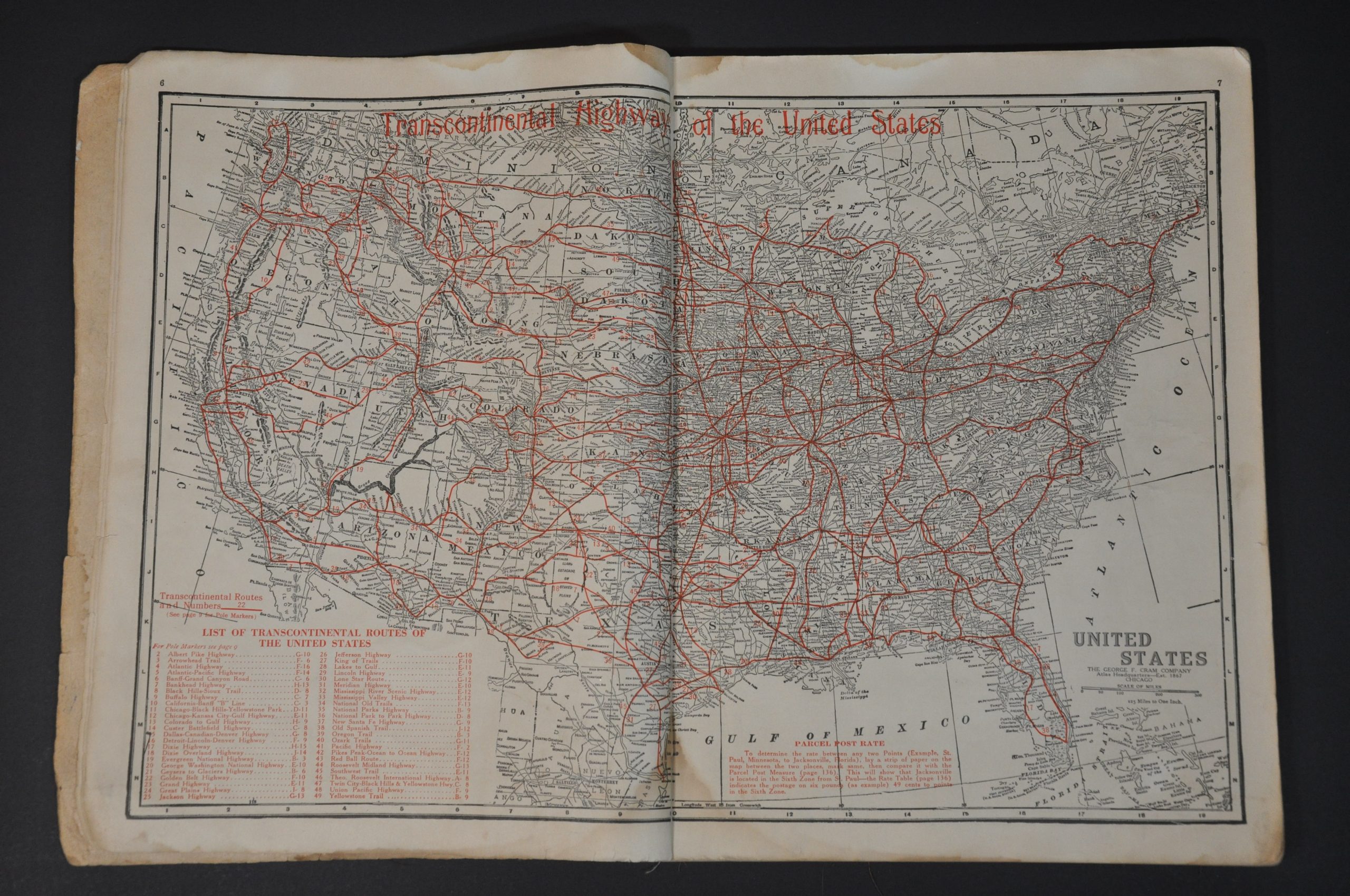
Other useful components include a double page map of primary transcontinental routes across the U.S., a table of distances between primary cities, a comprehensive index of cities and towns, information on America’s National Parks (with an accompanying map), and postal and shipping rates. Statistics and road figures are provided by the National Highway Association, organized about a decade prior to publication.
Sources: Good Roads Everywhere: Charles Henry Davis and the National Highways Association; Legend 45 (Road Map Collector’s Association)
Map Details
Publication Date: c. 1921
Author: George F. Cram
Sheet Width (in): 11.5
Sheet Height (in): 14.5
Condition: B
Condition Description: 136 pp. atlas bound in original red cloth wraps with gilt title. Covers are heavily worn and the spine is broken, with contents somewhat loose. Heavy damp staining affects the lower left and margins of numerous pages. The atlas is complete and maps are generally in about good condition overall.
$250.00
1 in stock