Auto-Desk Touring Atlas
A scarce variant of Clason’s Touring Atlas advertising a novel automobile accessory.
Out of stock
Description
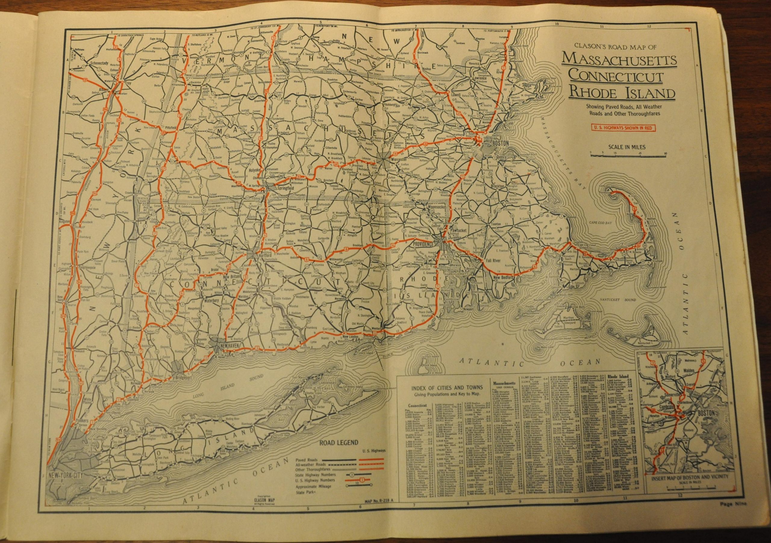
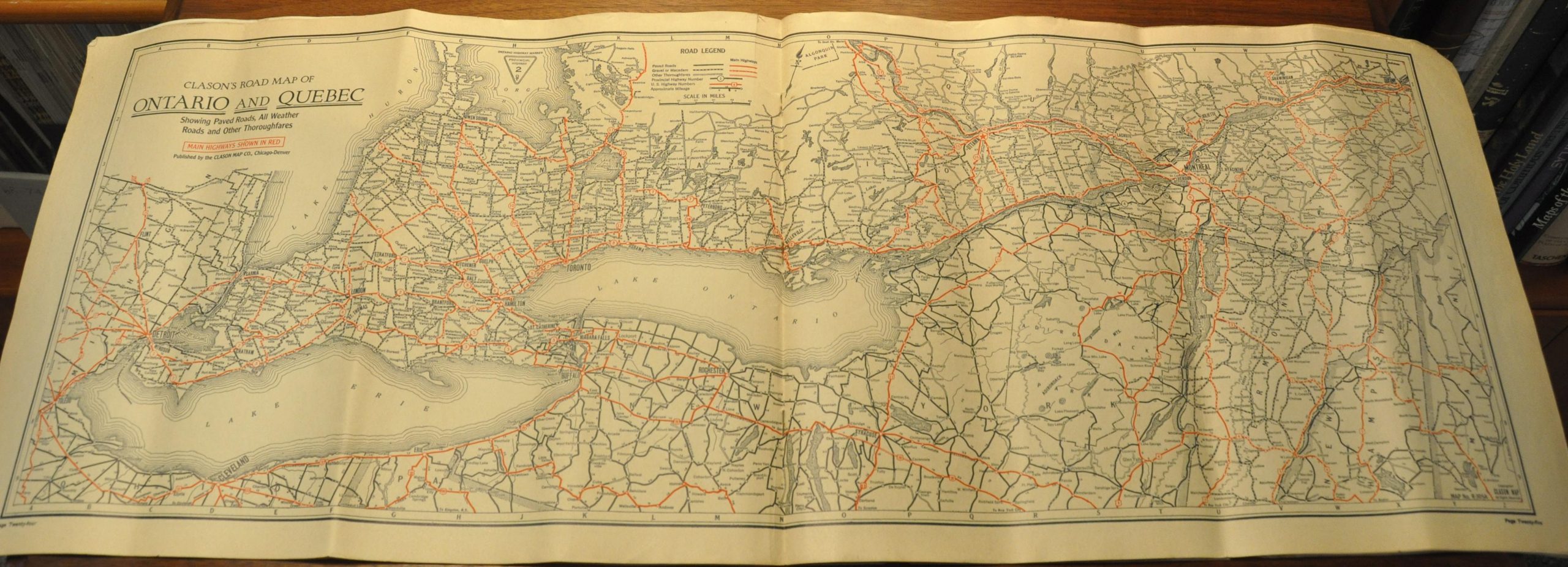
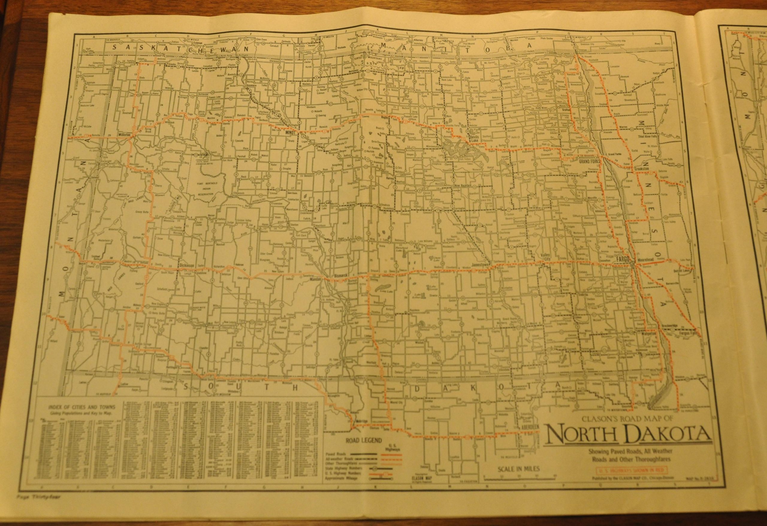
The Clason Map Company published its first road atlas of the United States in 1923, beating Rand McNally by a year. In it, the company included entirely new maps which showed the latest information on the network of available roads, their surface quality, and trail markings. Updated editions would be issued annually until 1931 in two forms, the “motor atlas” and the “touring atlas.”
This is a scarce (possibly unrecorded?) version of the touring atlas, published in 1927 or 1928. Apart from road maps of all 48 states and Canada, the atlas also includes a wealth of useful information for the early motor tourist. A table of the shortest distances between ‘geographical centers’ (major cities) is provided on the title page, followed by an index map of the paved roads throughout the United States. Distance logs of points along the major highways, included the ‘ten main transcontinental routes’ are listed immediately opposite.
Following these itineraries are four pages of text and illustrations, summarizing the various points of interest accessible via each map. These short biographies provide an interesting snapshot of the ‘scenic attractions, natural phenomena, and points of historical interest’ to motorists in the late 1920’s. The covers of the atlas are also of particular interest.
This particular example was issued to promote Landair Corporation’s Auto-Desk. This dash-mounted note taking device was intended to be used for tracking mileage, expenses, and trip routing – “for every record and reminder needed while driving for business or pleasure.” Examples of the available forms are provided on the back cover, while the inside provides detailed instruction on the installation and use of the Auto-Desk. The opposite of the front cover includes a detailed tabled outlining the license and motor laws of all states. Minimum driver age, license plate requirements, and speed limits are shown for each; revealing a hodgepodge of local regulations across the country.
The atlas was published in Chicago by the Clason Map Company in either 1927 or 1928, based on the U.S. Highway 40 sign on the cover and the various surface grades indicated on the maps themselves. For more information, see: https://lib.msu.edu/exhibits/map/clason/datingguide/
Map Details
Publication Date: c. 1927
Author: Clason Map Co.
Sheet Width (in): See Description
Sheet Height (in): See Description
Condition: B+
Condition Description: Maps measure approximately 16" x 12" and have been folded over twice. Stapled binding with original pictorial wrappers, though badly worn and soiled. Complete - 48 pages total. Title page is moderately soiled and a few sheets are toned (evenly) from age, but remain in very good condition overall. One exception - the last map (California) is moderately soiled as well.
Out of stock


