Authorized Map of the Second Byrd Antarctic Expedition
Promotional map of Antarctica distributed as a compliment to radio broadcasts of a polar expedition.
Out of stock


Description
Rear Admiral Richard E. Byrd was one of the most decorated polar explorers and early aviators in American history. He received the Medal of Honor, served in two world wars, and was the first pilot to reach the North and South Pole (though the former achievement is disputed). Over the course of his illustrious career, Byrd led six separate expeditions to the Antarctic. The last, Operation Deep Freeze in 1955, established the first permanent U.S. military presence on the continent.
This map was published over 20 years earlier to celebrate one of Byrd’s earlier adventures to the frozen shores. It depicts Antarctica from a polar perspective, with the tip of South America visible at the very top of the image. Large areas are labeled as unexplored, inaccessible, or “claimed.” Inset maps of Byrd’s route south and the area near his camp are provided to the audience as a helpful aid. As explained in the decorative title cartouche, Byrd’s second expedition was the first to feature live two way radio broadcasts. A radio station sponsored by CBS was set up on the base camp ship and relayed weekly updates to New York via Buenos Aires. As stated in the leaflet issued with the map “We hope you will find the map helpful in following the adventures of Admiral Byrd and his men at the South Pole…that it will serve as a permanent reminder of your thrilling radio hour.”
What the map and text fails to mention (apart from his correct location) is that Byrd operated in almost complete solitude during the five month operation in 1934. He alone worked at a meteorological station, Advance Base, until suffering from carbon monoxide poisoning from a faulty stove. Erratic radio transmissions from Byrd prompted assistance from the base camp, and he was evacuated in October.
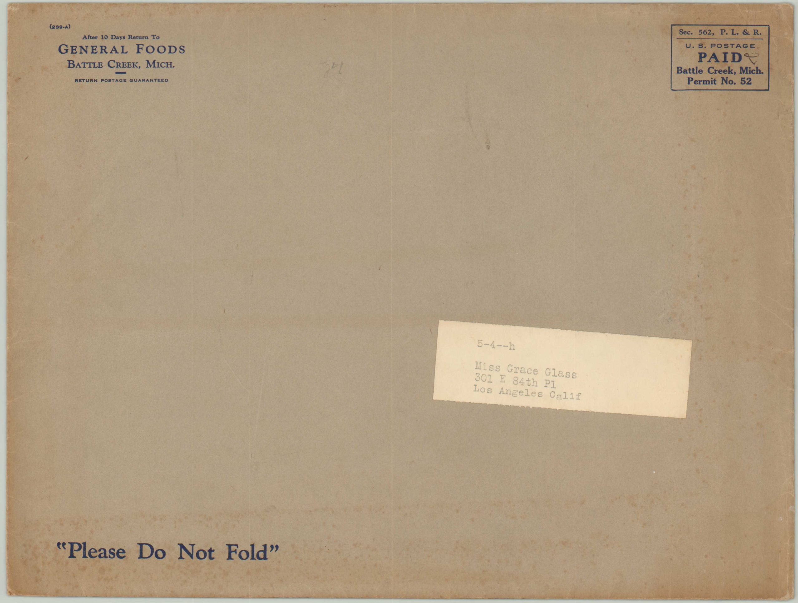
Apparently Byrd had selected Grape-Nuts as a provision for the operation, and General Foods published this map to advertise the relationship to eager listeners (and cereal eaters). A copy of the “South Pole Radio News,” also published by General Foods, is included and features a Q & A with Admiral Byrd, photographs of the expedition, and an advertisement for the map.
Map Details
Publication Date: 1934
Author: George Annand
Sheet Width (in): 24
Sheet Height (in): 18
Condition: A-
Condition Description: Save a few creases and minor wear along the edges and one small hole above the South Pole, this map is in perfect condition. Includes the original envelope and accompanying note and newspaper from General Foods.
Out of stock