
Australia
$80.00
Gold Rush-era Australia.
1 in stock
Description
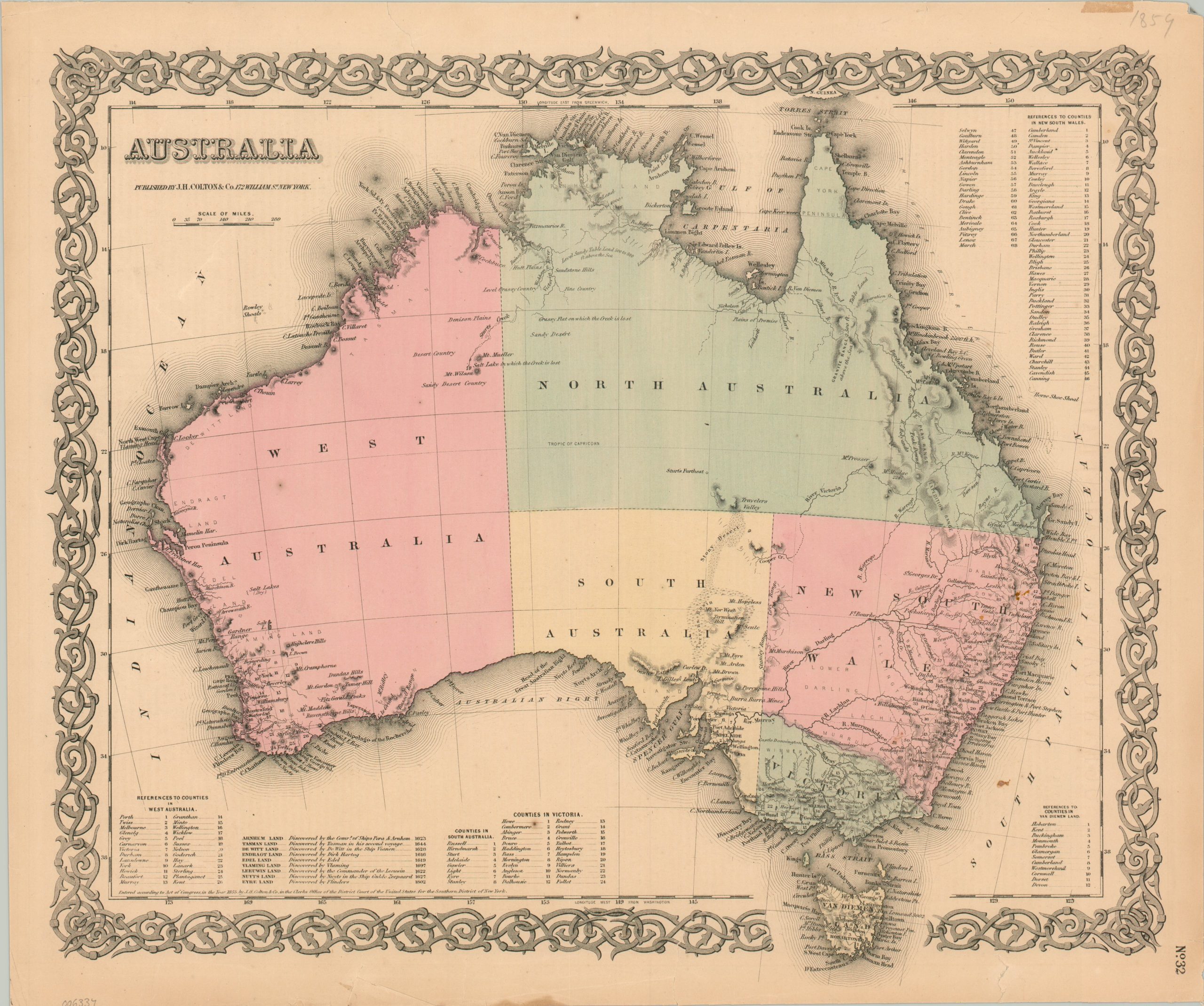
This beautiful map of Australia was published in New York by the firm of J.H. Colton & Co. in 1859. Soft hand color distinguishes the constituent states of the British penal colony, with Queensland still a part of North Australia (it would be separated that year). The island to the south retains the name Van Diemen’s Land, though it would be officially recognized as Tasmania in 1856.
A variety of settlements and geographic features are labeled throughout the image, though much of the interior remains blank and unexplored. The Granite Range, Mount Hopeless, and the Stony Desert are just a few of the imposing obstacles in the way of intrepid adventurers like Charles Sturt. His furthest point of travel is also marked near the center of the continent.
Map Details
Publication Date: 1859
Author: J.H. Colton & Co.
Sheet Width (in): 16.8
Sheet Height (in): 14
Condition: B+
Condition Description: Several closed tears along the outer edges of a somewhat brittle sheet have been repaired on the verso with archival material. The largest, about 2", is located in the lower center and just enters the decorative border. A few tiny spots of surface stains in the center right, in the eastern part of New South Wales. Good condition overall, with original hand color.
$80.00
1 in stock