
Austin Sectional Aeronautical Chart
$110.00
Restricted navigation map of the airspace around Austin, Texas.
1 in stock
Description
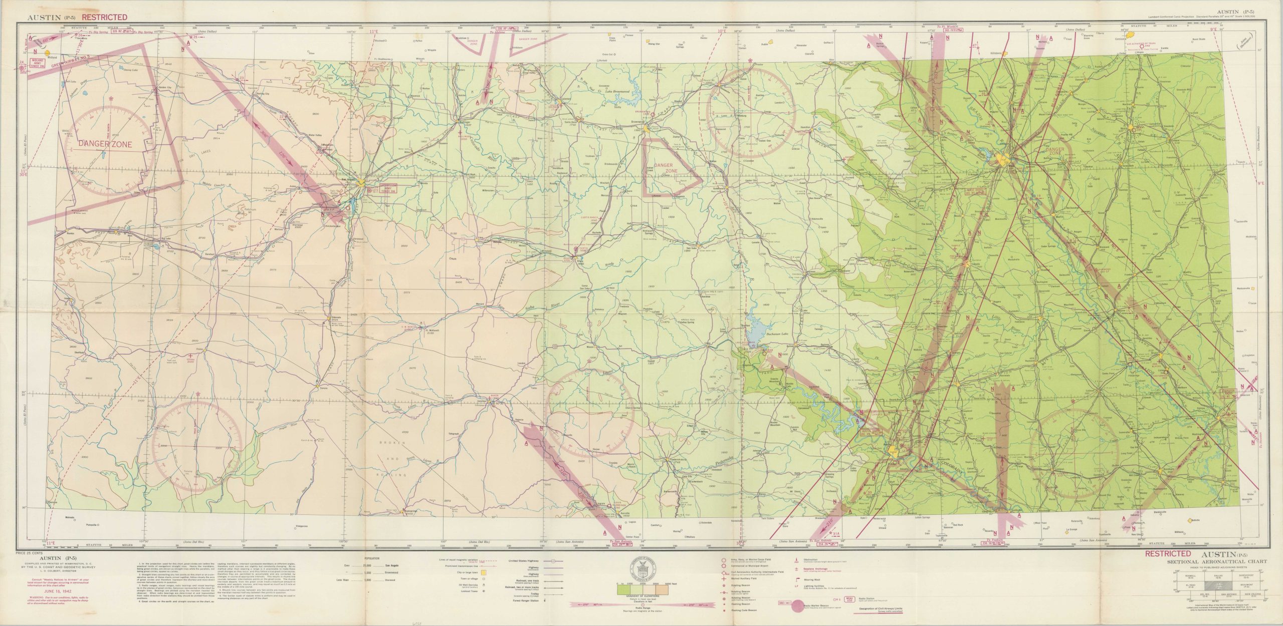
This large aeronautical navigational chart of the approaches to Austin, Texas was published in 1942 for use by local aviators, trainees, and military planners. A base topographic map created by the U.S. Coast and Geodetic Survey identifies the location of major towns, transportation routes, oil derricks, and lookout towers.
The color-printed image has been overlaid with additional red ink; marking the map RESTRICTED and identifying locational beacons, airfields, radio ranges, and other aviation facilities. Large areas are marked DANGER ZONE.
Map Details
Publication Date: 1942
Author: U.S. Coast and Geodetic Survey
Sheet Width (in): 49
Sheet Height (in): 24
Condition: A-
Condition Description: A bit of staining in the upper left corner, away from the image and some faint discoloration in the center left. The sheet has lightly toned from age and shows minor wear and creasing along old fold lines. Very good condition overall. Blank on verso.
$110.00
1 in stock