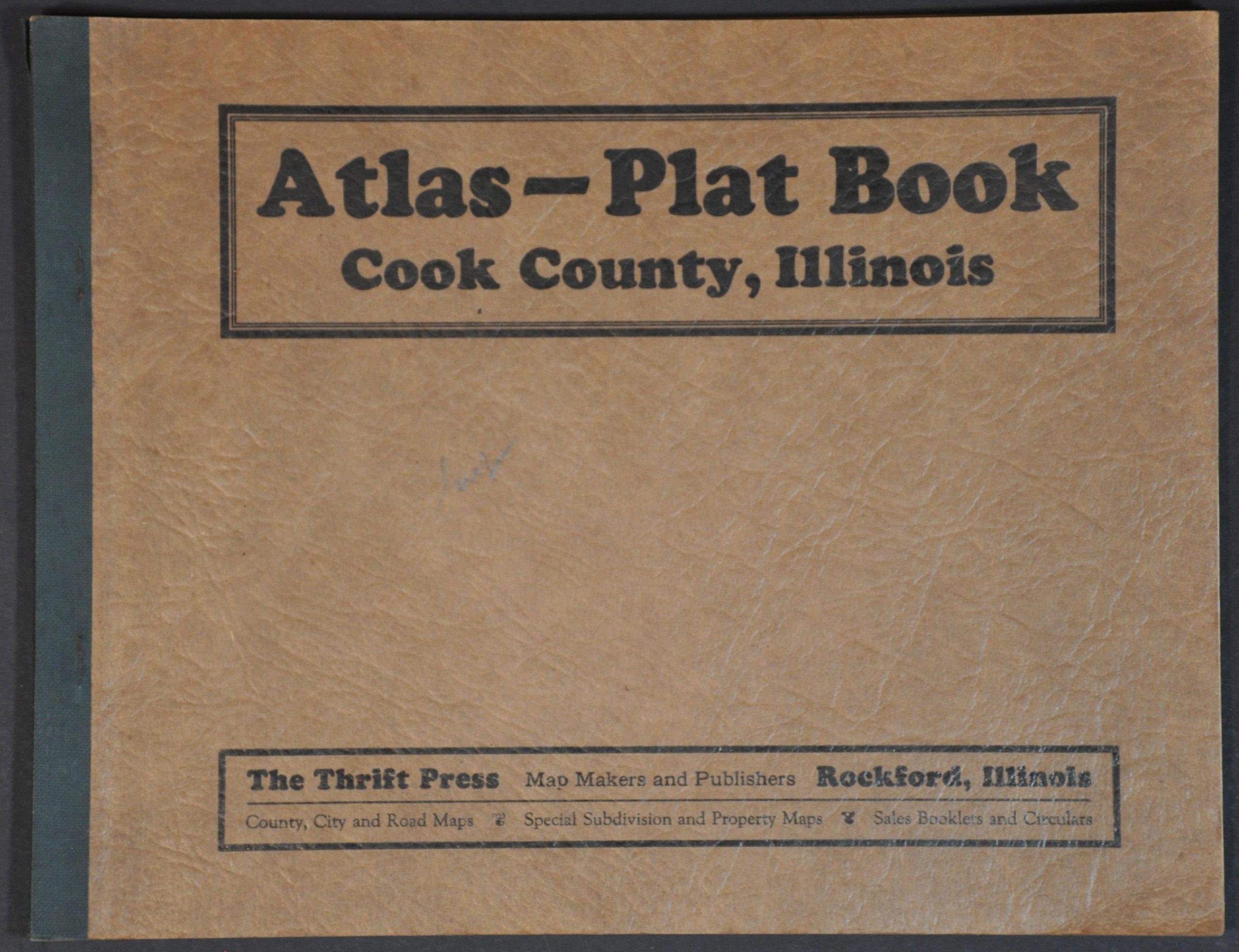
Atlas – Plat Book Cook County, Illinois
Cook County at the height of the Gangster Era.
Out of stock


Description
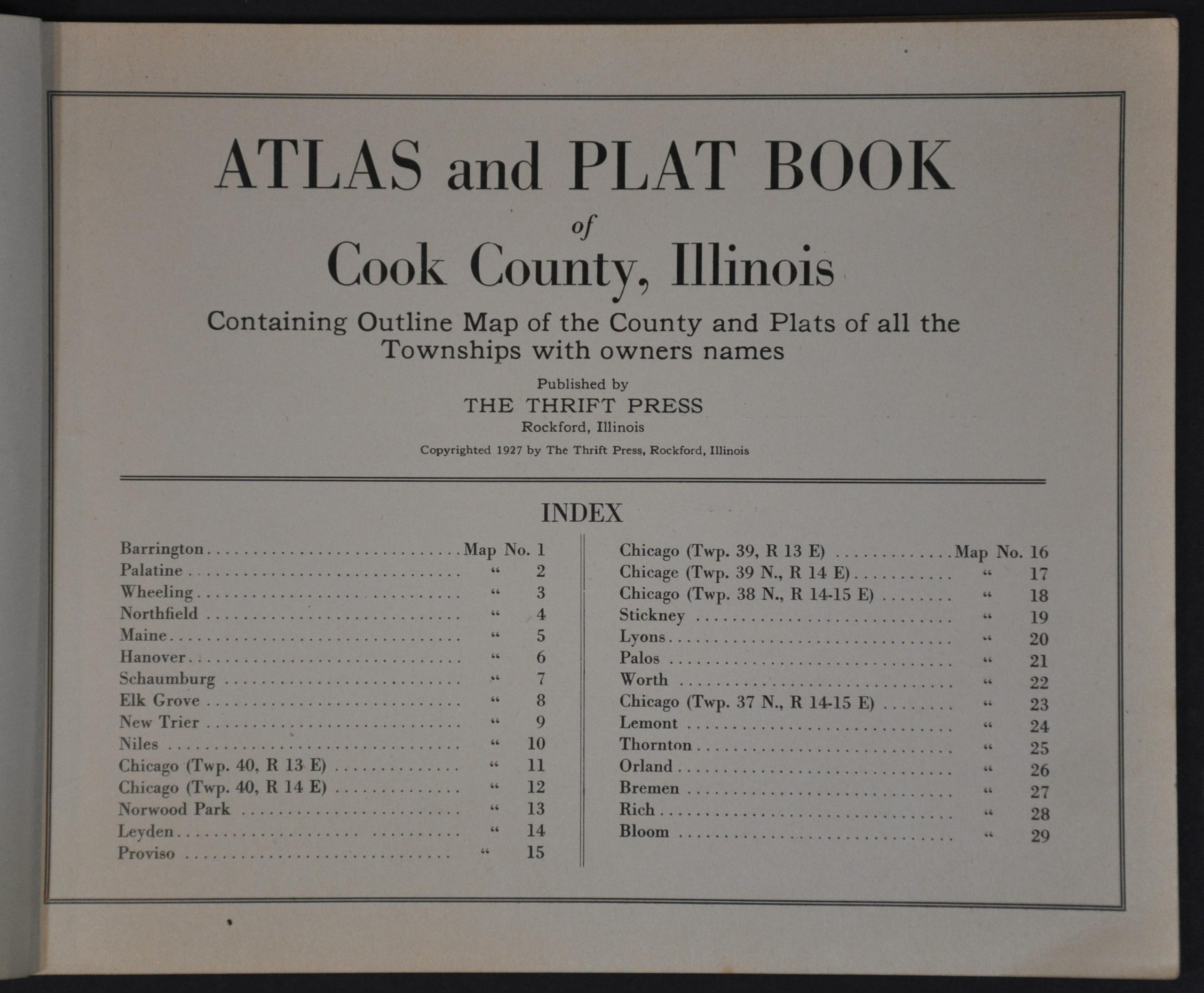
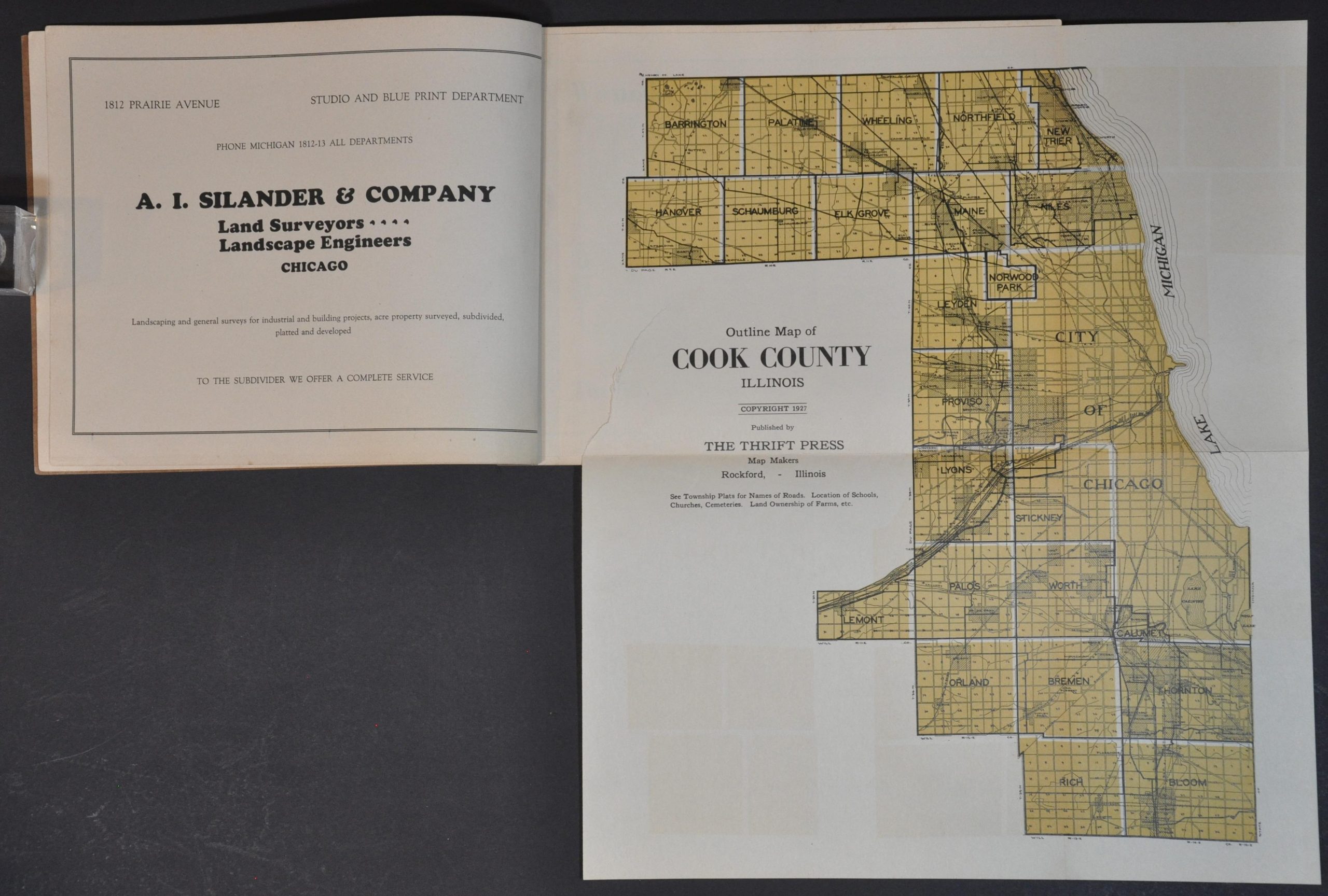
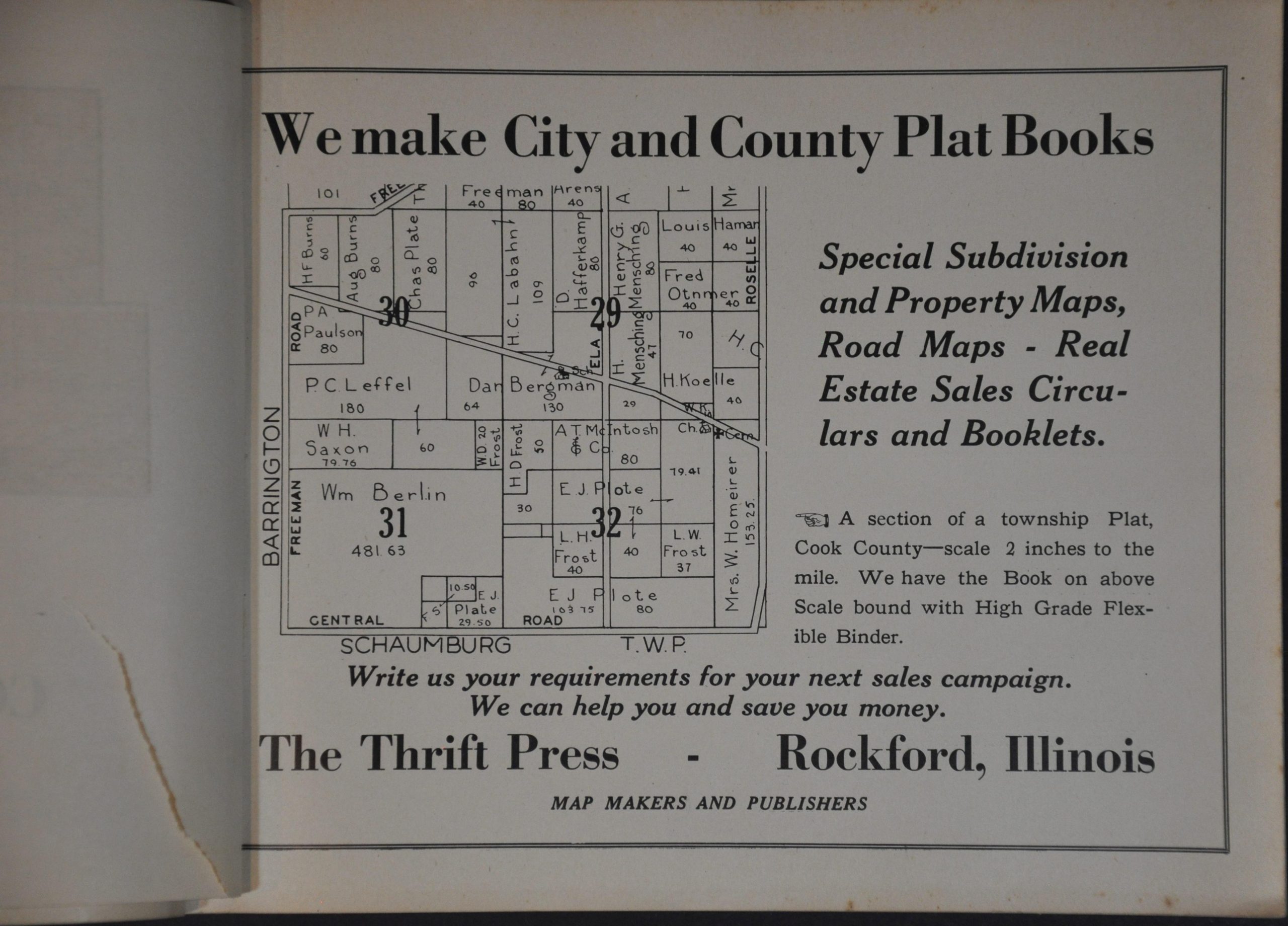
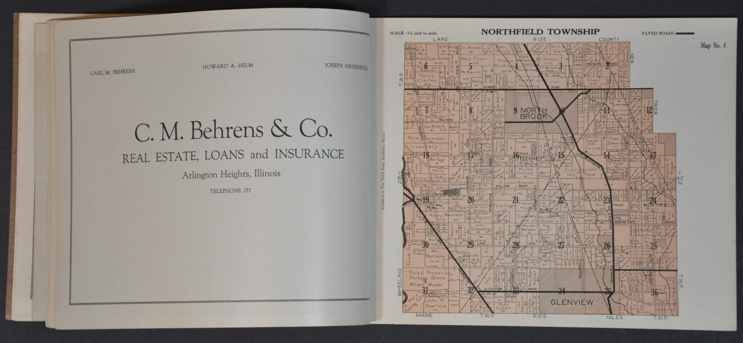
This rare atlas of Cook County, Illinois was copywritten and published in 1927 by the Thrift Press of Rockford, Illinois. At the time, Prohibition (1920 – 1933) was in full effect and the area around Chicago was notorious for its criminal activity, epitomized by Al Capone. Each page, drawn to a scale of 1 1/4″ = 1 mile, outlines properties across each township and names their respective owners (outside of city limits). These include individuals (including many farmers), title companies, schools, forest preserves, religious institutions, cemeteries, and more. Paved roads, convenient avenues for bootleggers operating in the area, are boldly shown. A city map of Chicago, a fold-out map of Cook County, and numerous contemporary advertisements are also included.
The Thrift Press was one of several local publishers operating in Rockford during the 1920s. Their output focused on ‘County, City, and Road Maps, Special Subdivisions and Property Maps, and Sales Booklets and Circulars’, according to text on the front cover. The works on uncommon on the market and in institutional collections – only two examples of this 1927 Cook County Atlas are in WorldCat (a 1926 edition is also listed) – at the Galesburg Public Library and the Abraham Lincoln Presidential Library.
Sources: OCLC# 13826414; Chicago Map Society
Map Details
Publication Date: 1927
Author: Thrift Press
Sheet Width (in): 9.9
Sheet Height (in): 8.4
Condition: A
Condition Description: Complete 32 page color lithographed atlas, bound with staples in original textured paper covers. Includes a folding map, about 13.75" x 16.25", with a 3" irregular closed tear where bound (does not affect the image). A bit of faint wear, a few penciled annotations, and some light spotting, but overall in very good condition.
Out of stock