
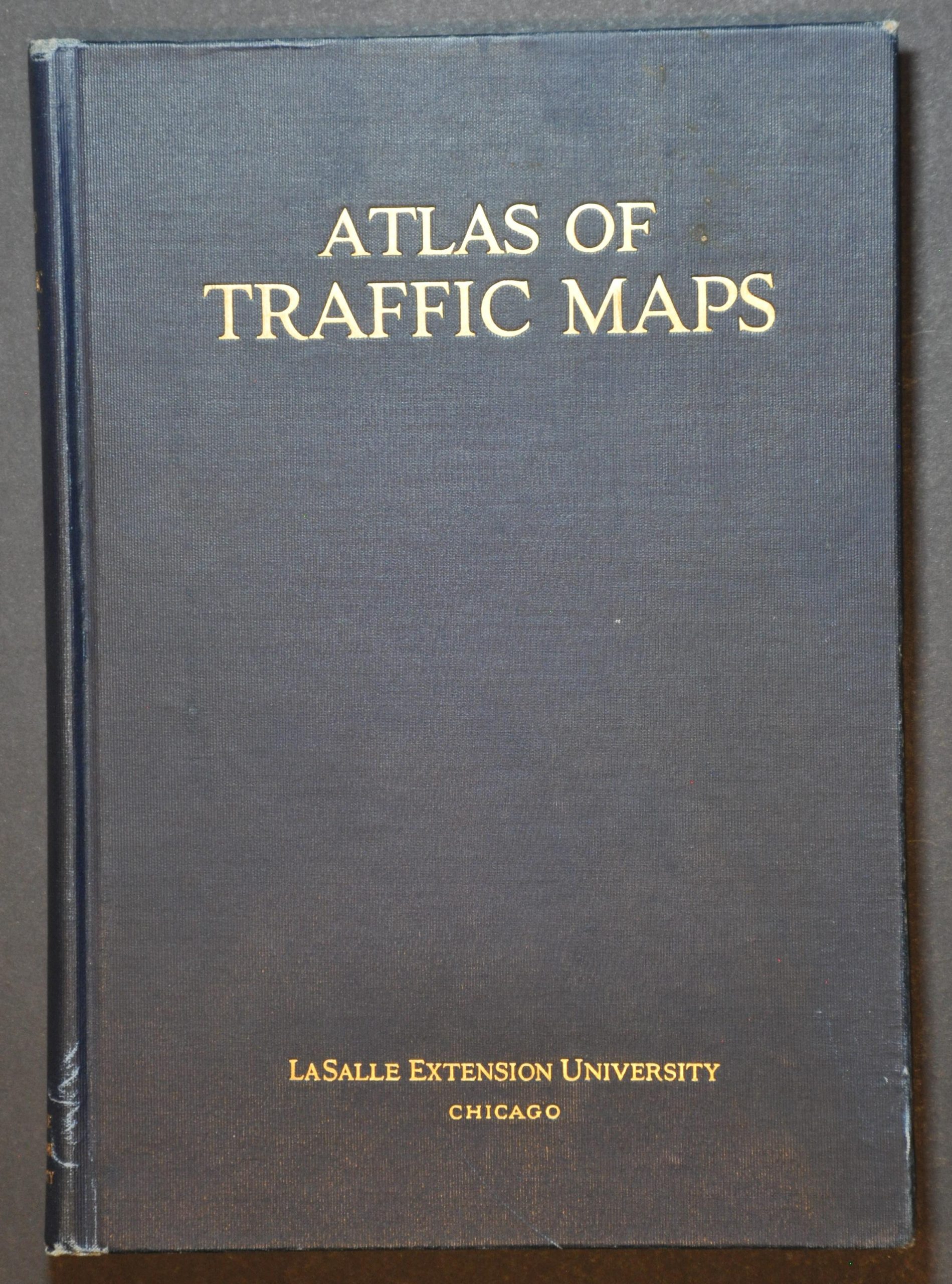
Atlas of Traffic Maps
$110.00
A comprehensive overview of the American transportation network in the mid-1920s
1 in stock



Description
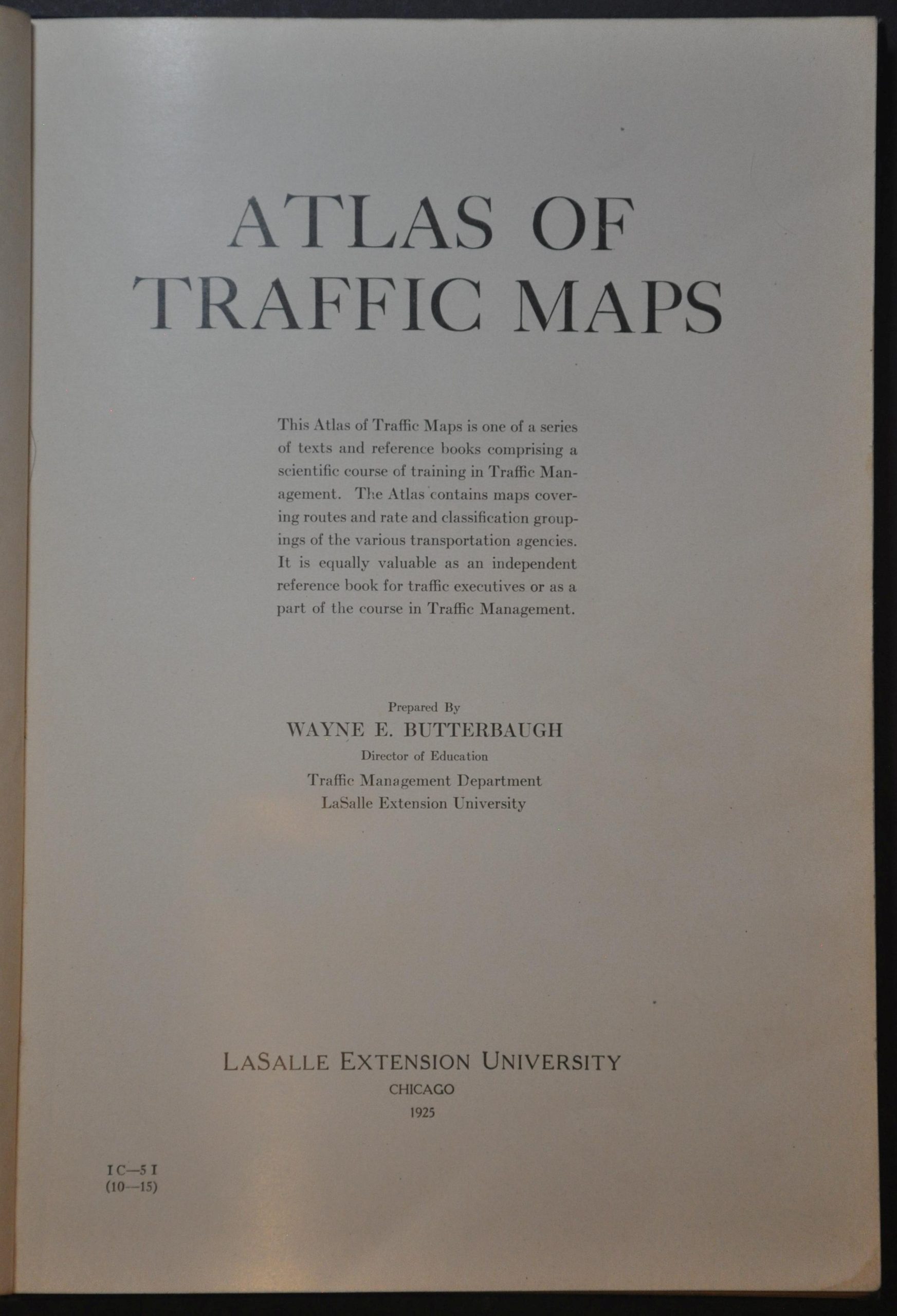
This informative 1925 atlas was compiled by Wayne E. Butterbaugh, Director of Education in the Traffic Management Department at Chicago’s LaSalle Extension University. LSEU was a pioneer in distance learning programs and the volume was used as part of its correspondence coursework in Traffic Management.
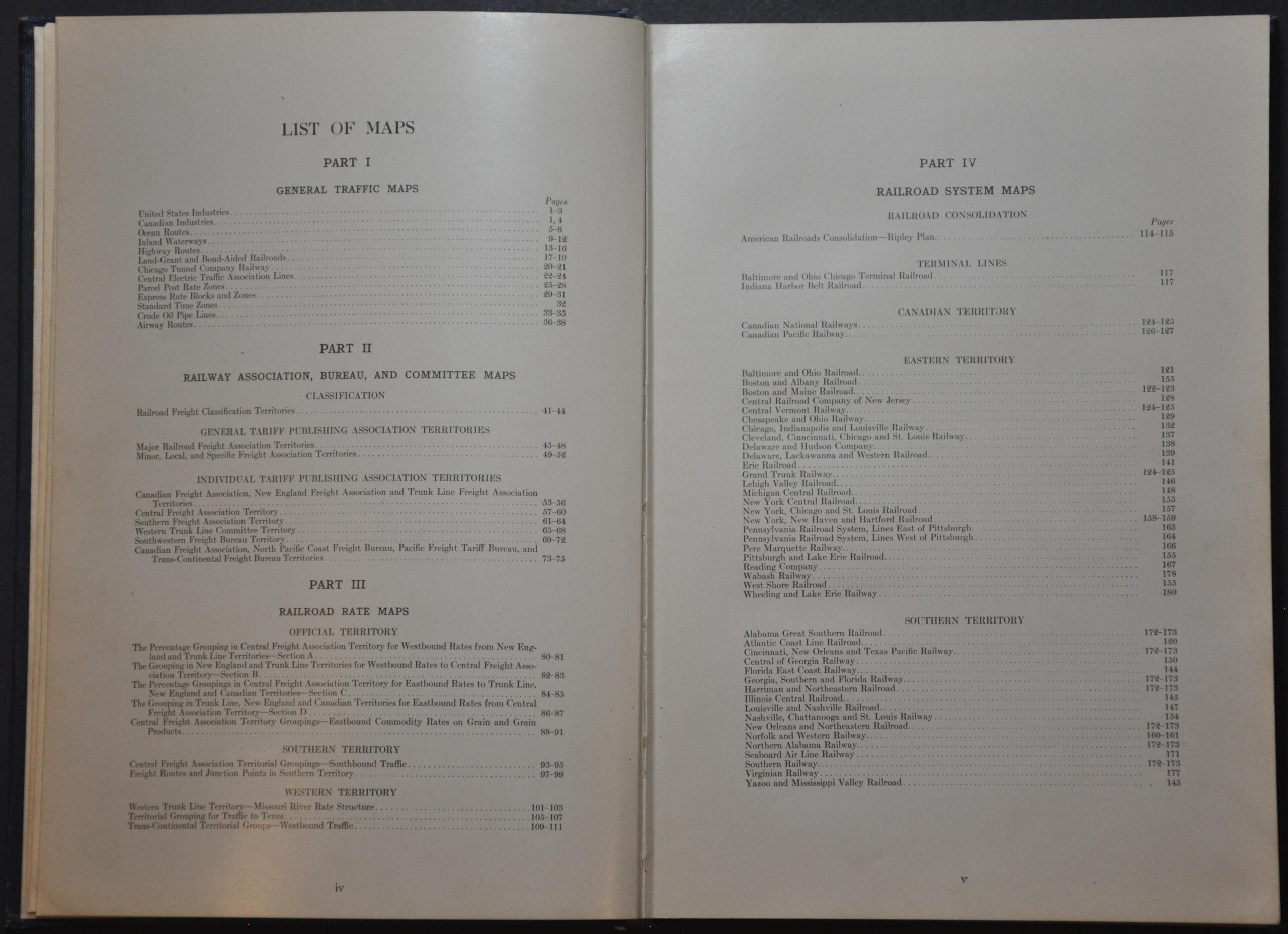
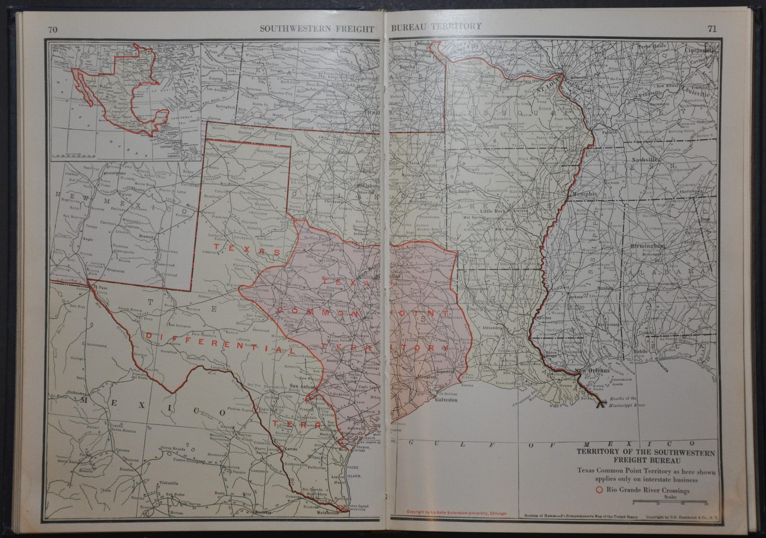
The majority of the content is dedicated to America’s railway network and related apparatuses (individual operators, freight associations, tariff regions, etc.). Dozens of maps provide a detailed overview of various systems, from the national level down to route maps for large railroad companies.
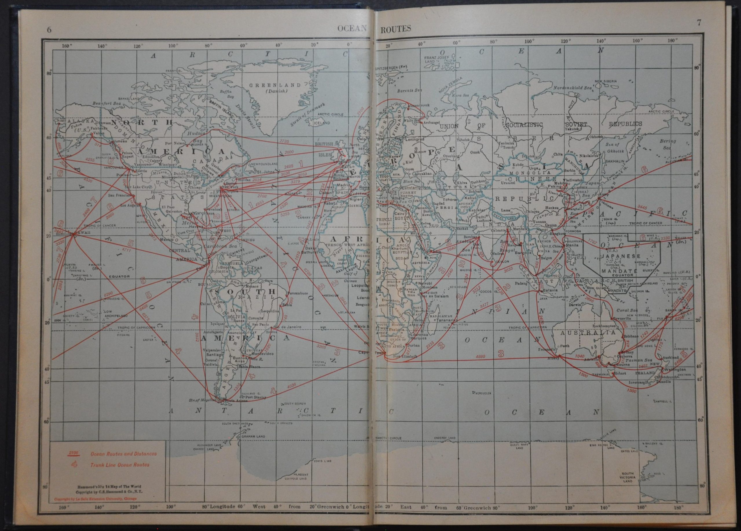
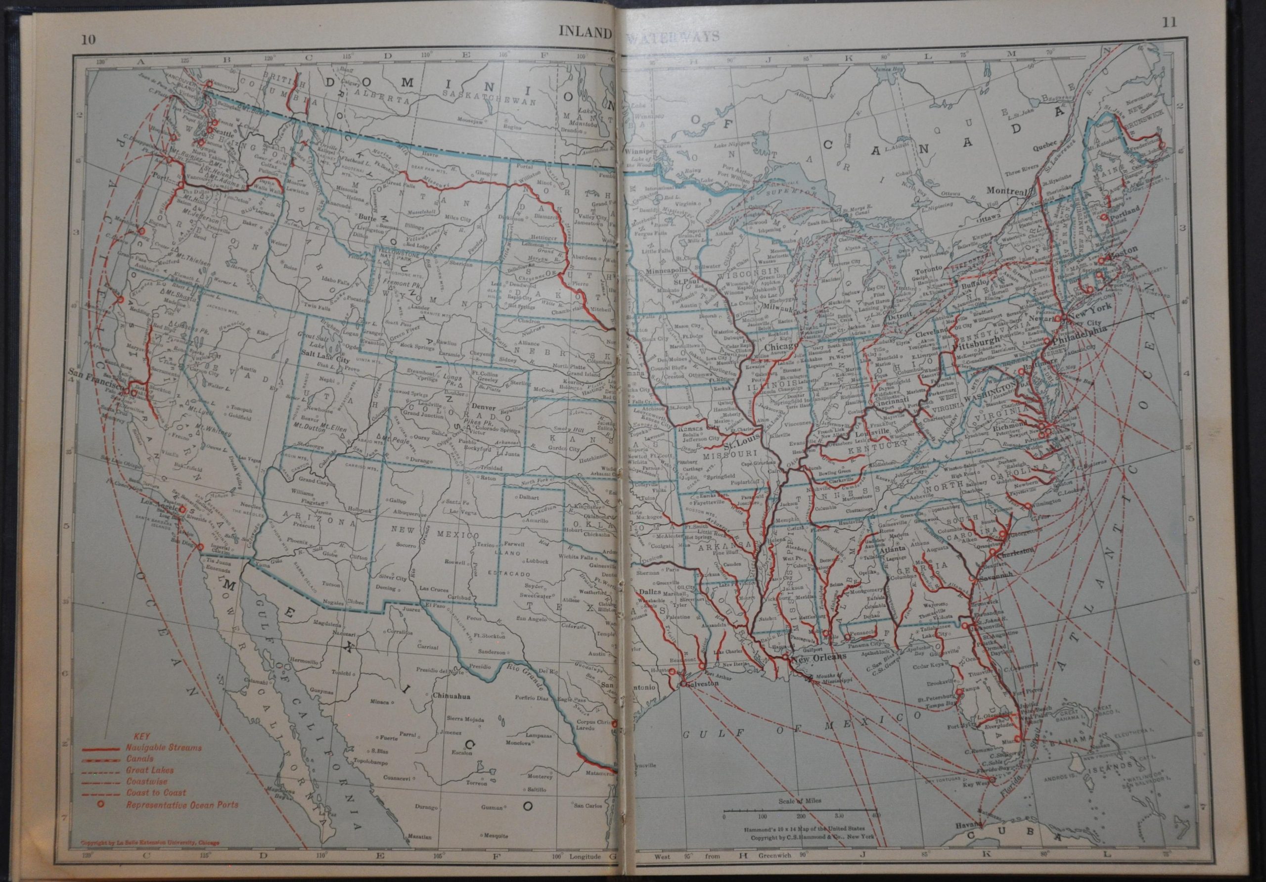
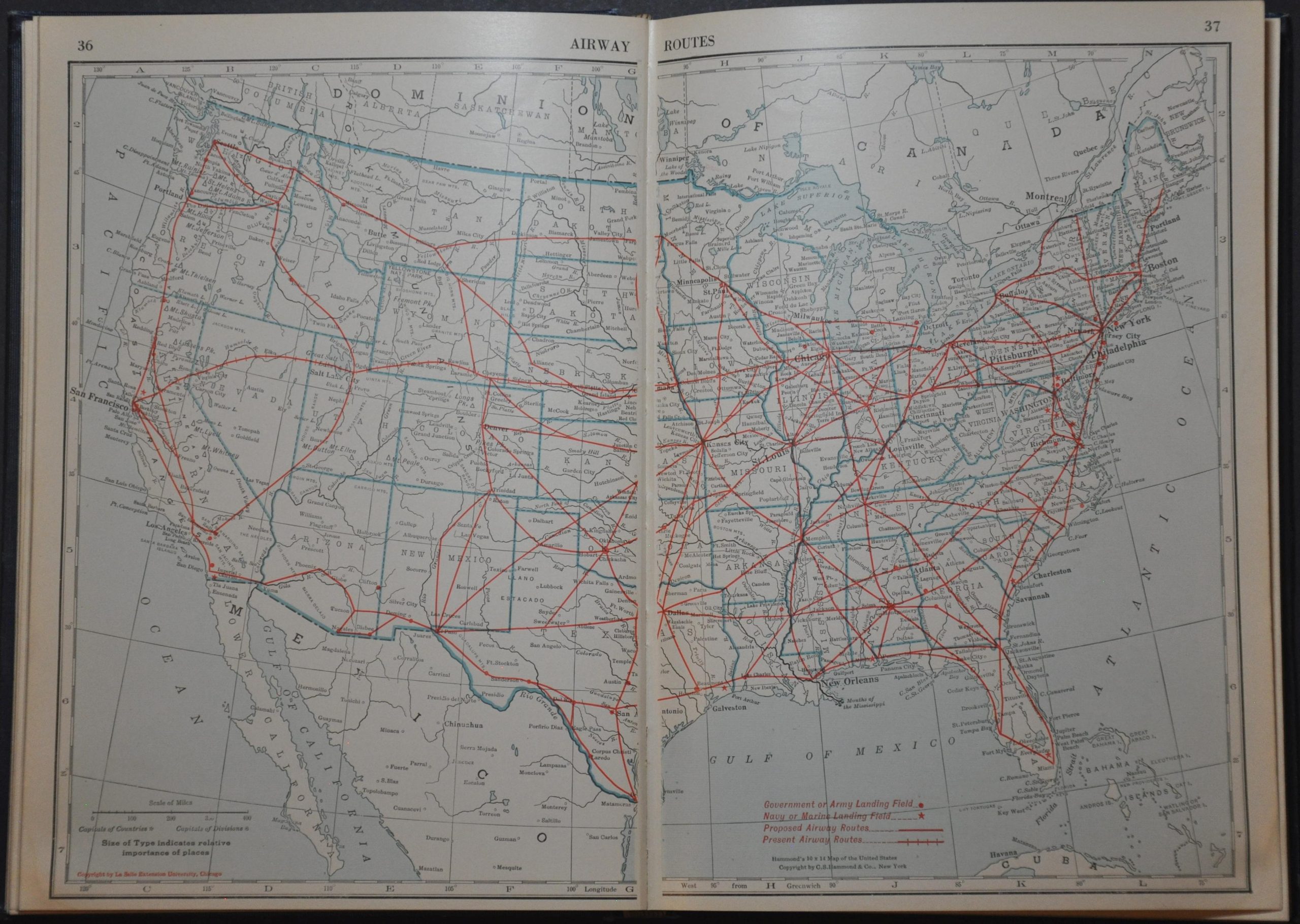
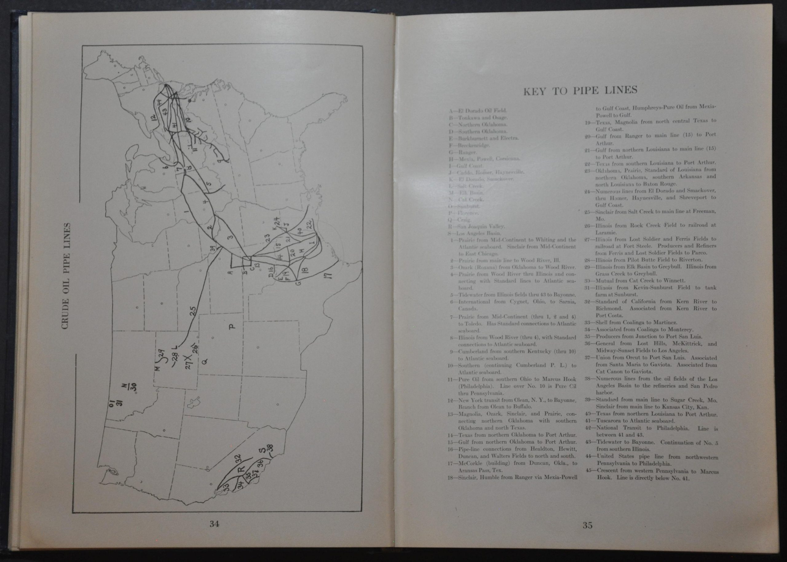
Several thematic maps explore different aspects of industrial development in the U.S. and Canada – national highways, prominent exports, air routes, oil pipelines, parcel post rate zones, and inland waterways. Also of interest is a map of the Chicago Tunnel Company Railway, a detailed explanation of time zones, and information about electric interurban trains.
Map Details
Publication Date: 1925
Author: Wayne E. Butterbaugh
Sheet Width (in): 7.1
Sheet Height (in): 10.5
Condition: A-
Condition Description: i-vii + 184 pp. atlas bound in original blue cloth with gilt lettering on the front cover. The spine is worn along the top edge and bottom 1". Moderate toning on the front flyleaf and endpaper, but no content affected. The hinges are a bit loose and there are scattered dirty fingerprints, the odd creased corner, split along the gutter, and other signs of age and use. Good to very good condition overall.
$110.00
1 in stock