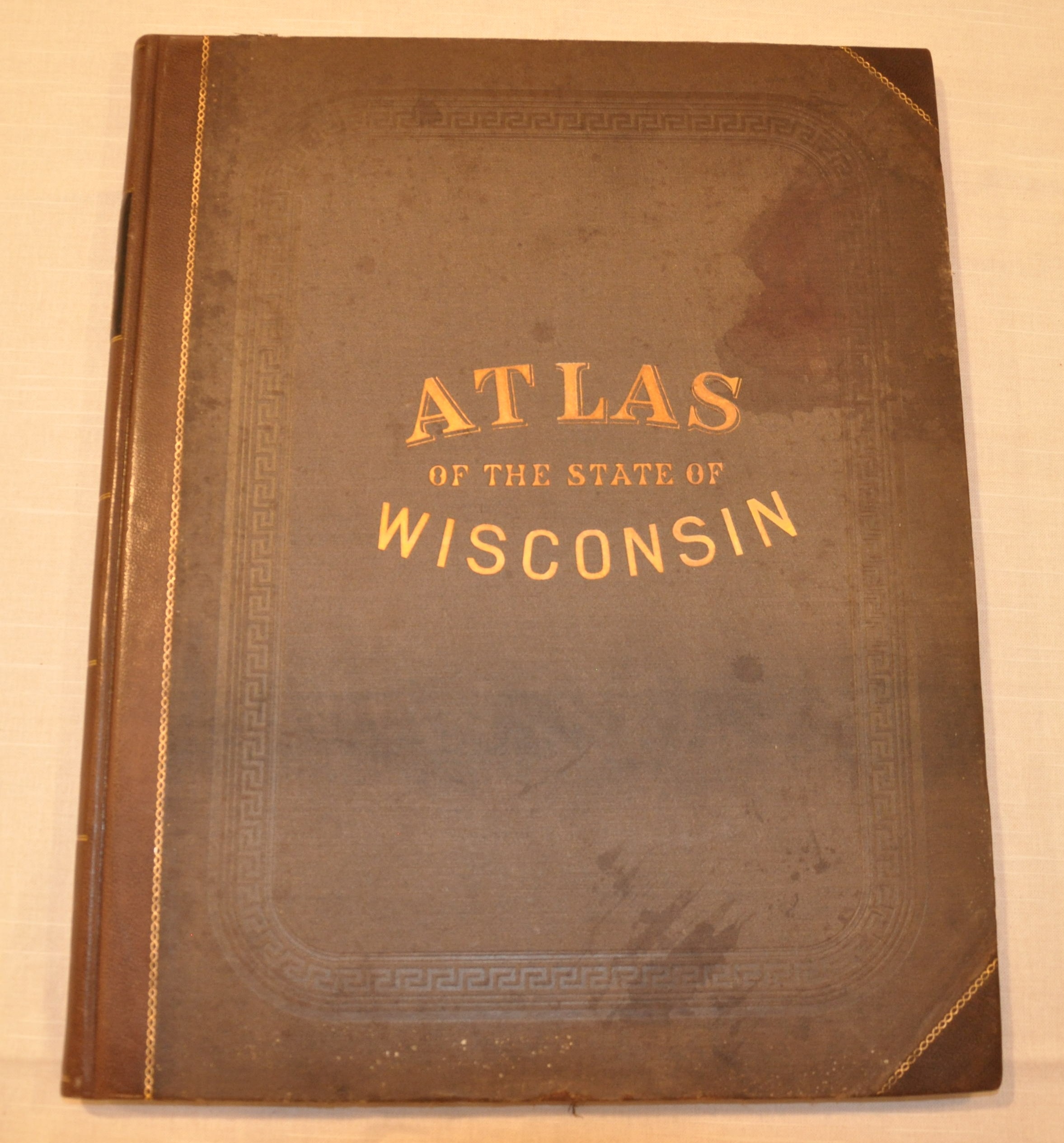
Atlas of the State of Wisconsin
$750.00
An interesting snapshot of the geographic and economic composition of late 19th century Wisconsin.


Description
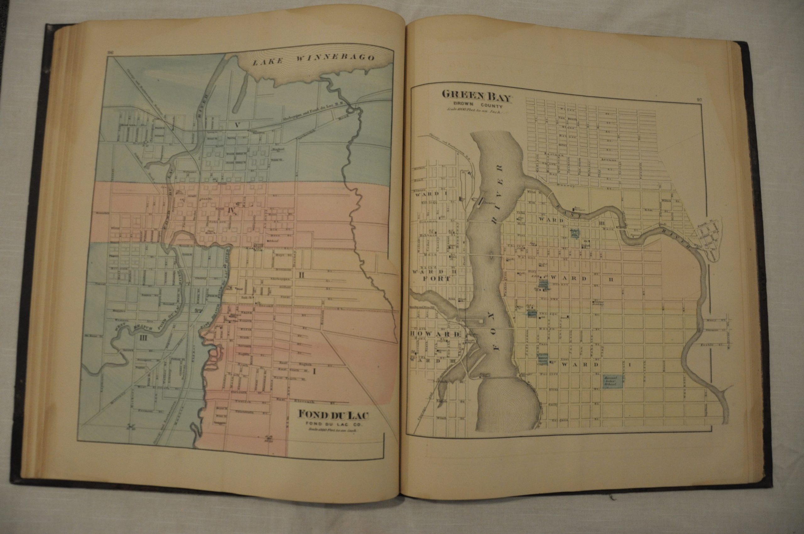
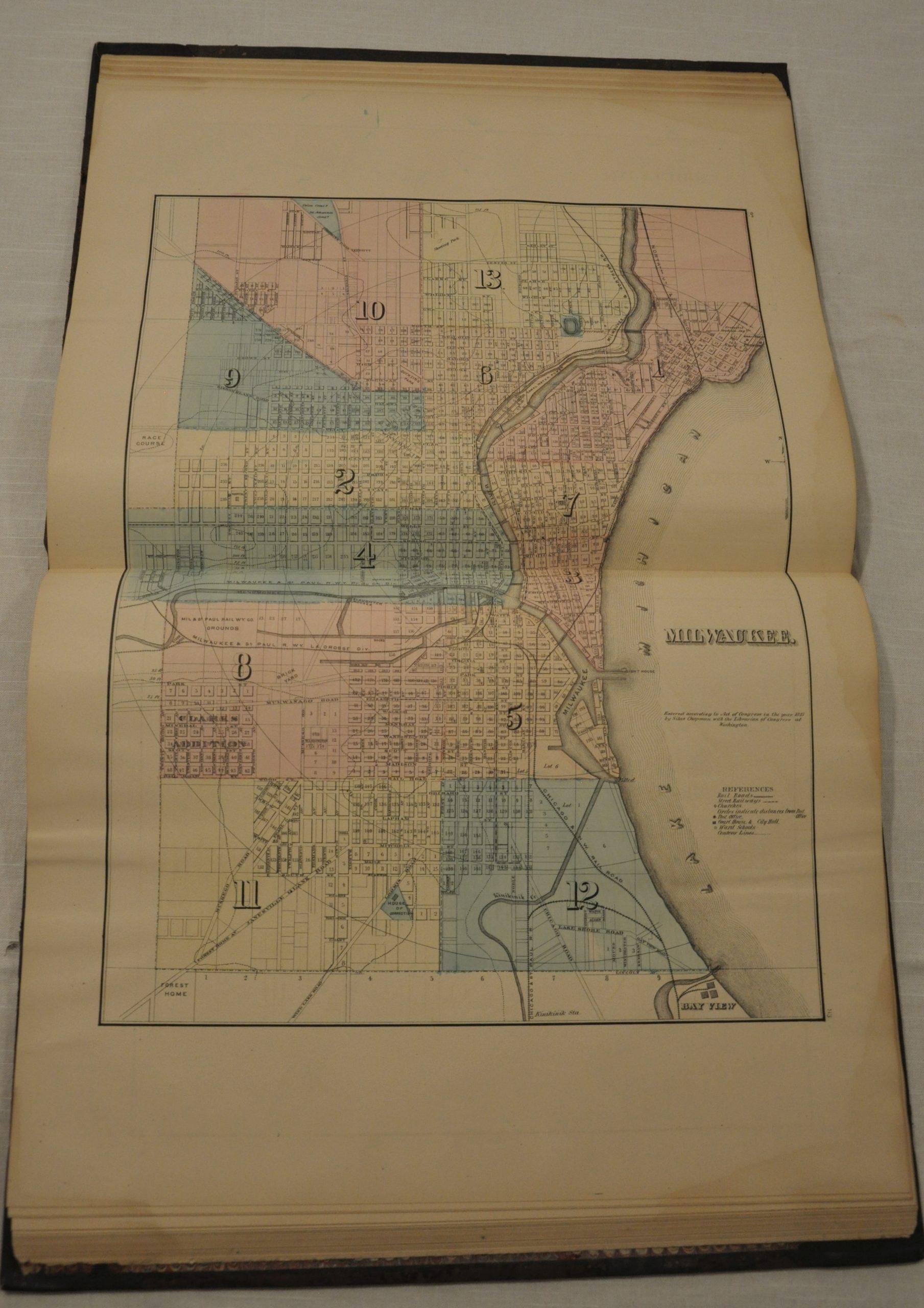
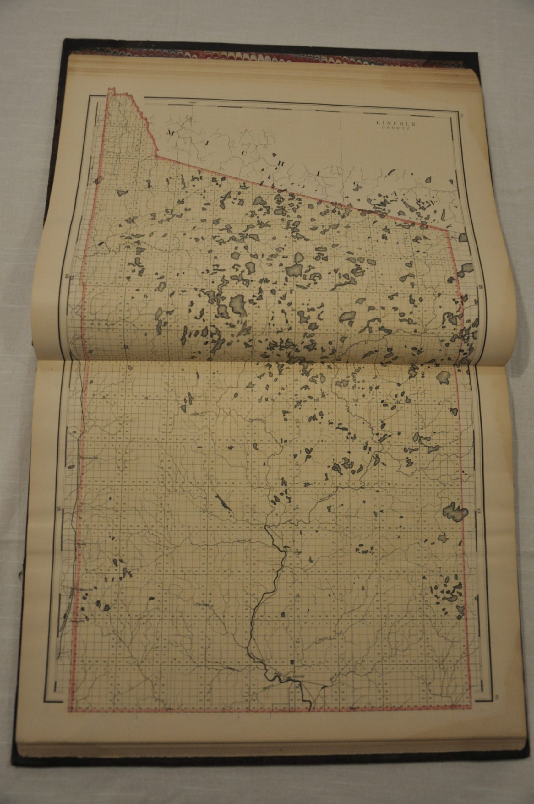
This atlas is a valiant attempt to provide a comprehensive overview of the state of Wisconsin. In addition to including dozens of maps of counties, townships, and cities, the publication also includes a detailed history, summary of the land survey system, tables of statistics and numerous pages of contemporary advertisements for industries across the state.
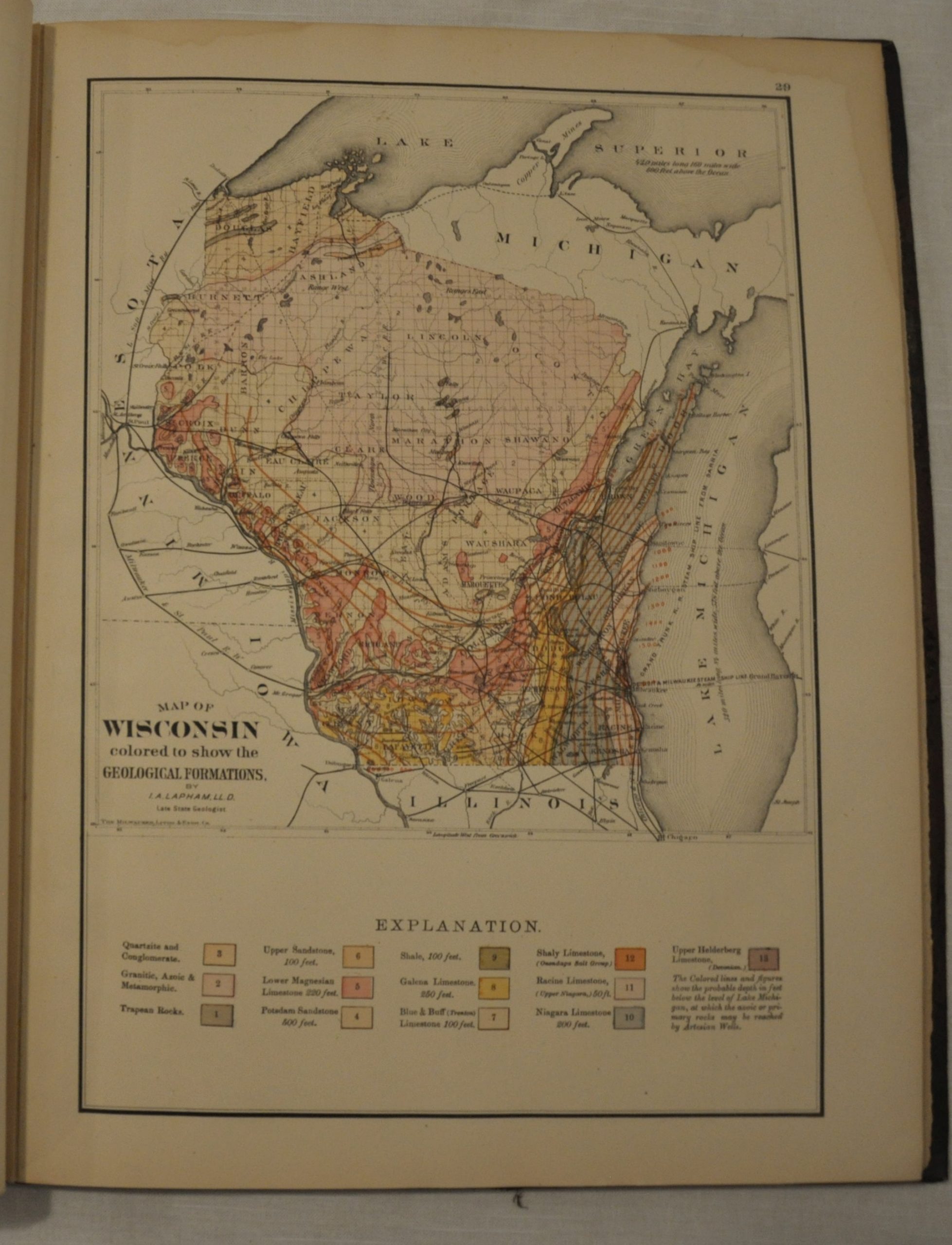
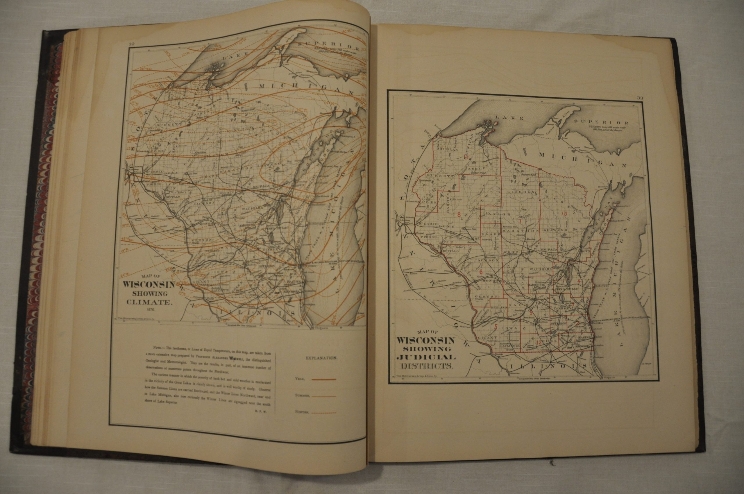
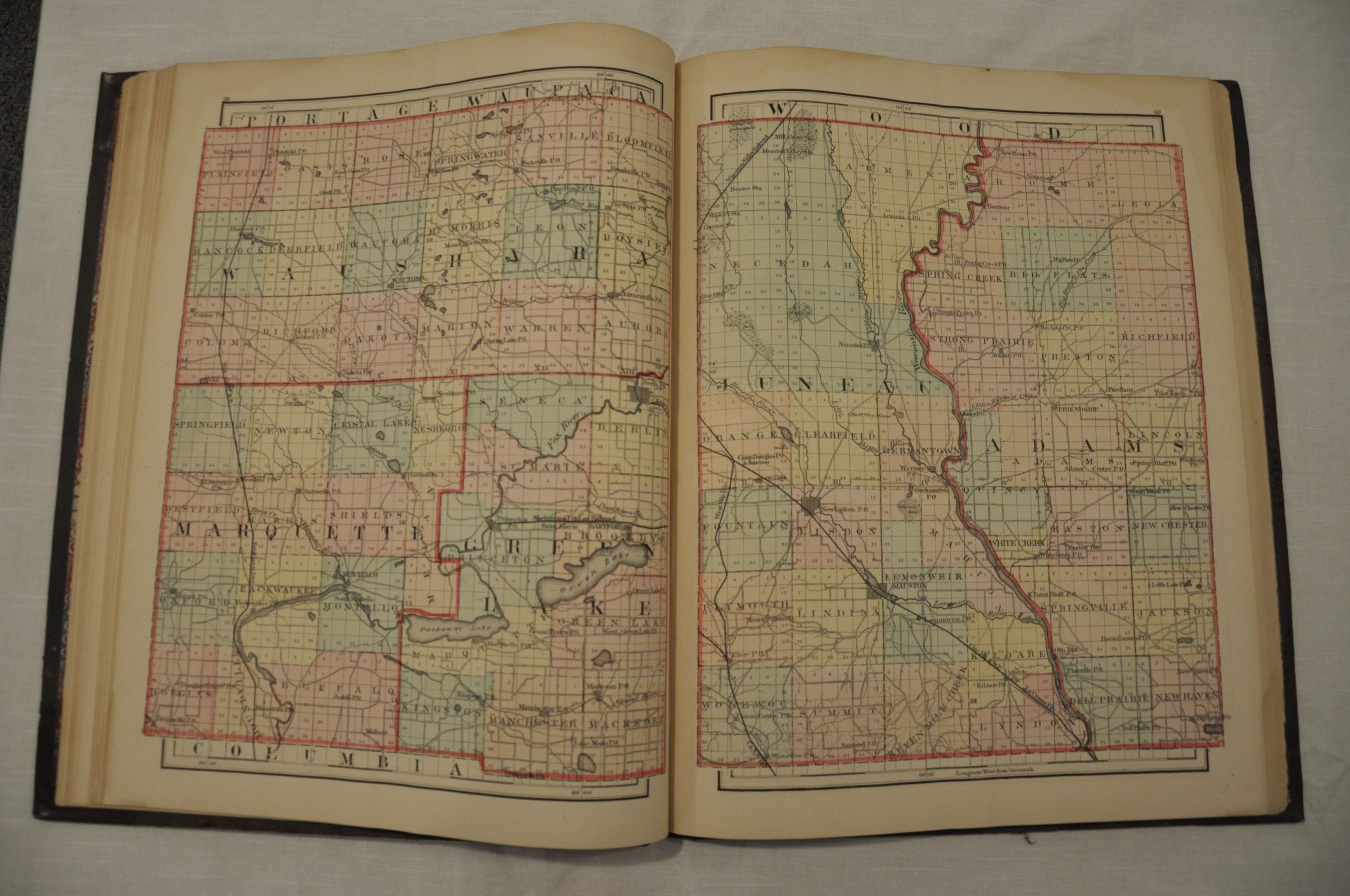
Maps are drawn to a scale ranging from 2.5 to 4 miles to an inch, which allows for high level details such as transportation routes, post offices, and rivers/creeks. Several specialized state maps, including geological, political, and climatic are also included, along with double page maps of the United States and Europe. The maps were compiled by H.F. Walling of Walling, Tackabury & Co, the publishers. Printing and binding was done by the firm of H.O. Houghton & Co.
Map Details
Publication Date: 1876
Author: Walling, Tackabury & Co.
Sheet Width (in): 14
Sheet Height (in): 17.5
Condition: B+
Condition Description: Very good to excellent condition. The atlas has been professionally rebound in gilt brown quarter leather and marbled endpapers. Original cover and title page. Complete, 170 pages with 68 single page and 11 double page maps. Pages are generally in good condition. Most exhibit faint offsetting and light water staining confined to the margins. A bold impression on strong paper with lovely hand color.
$750.00