Atlas of the State of New York
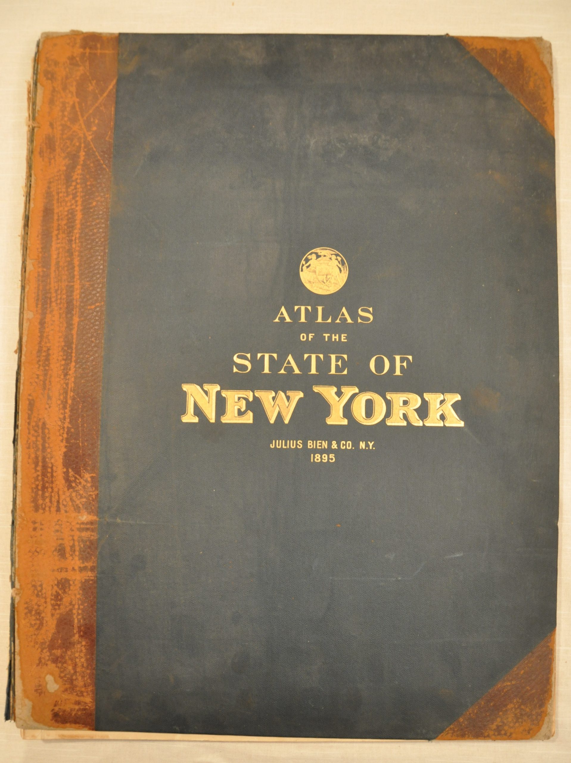
Large folio atlas of New York, one of the few separately issued by the firm of Julius Bien & Co.
Out of stock
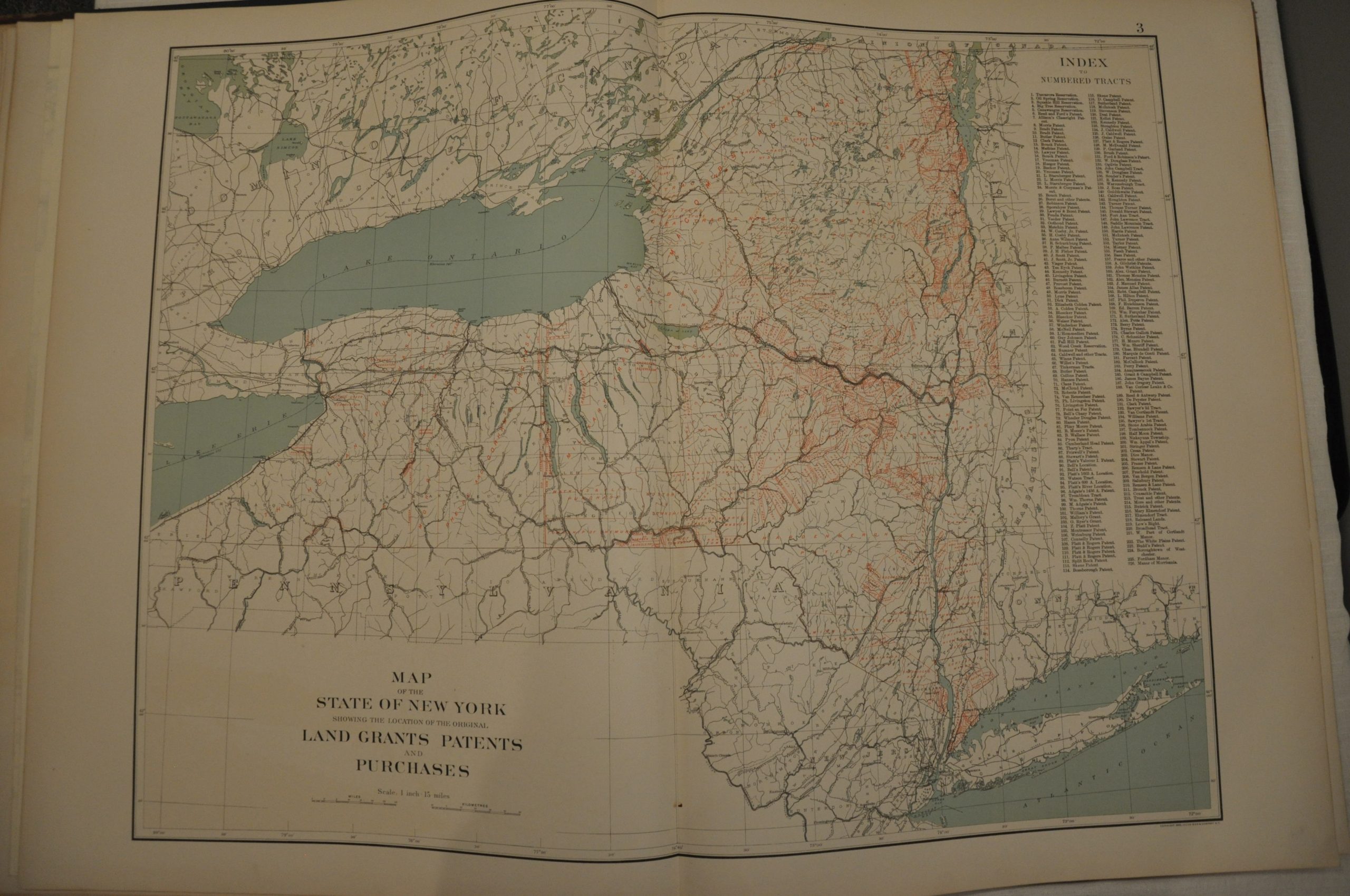
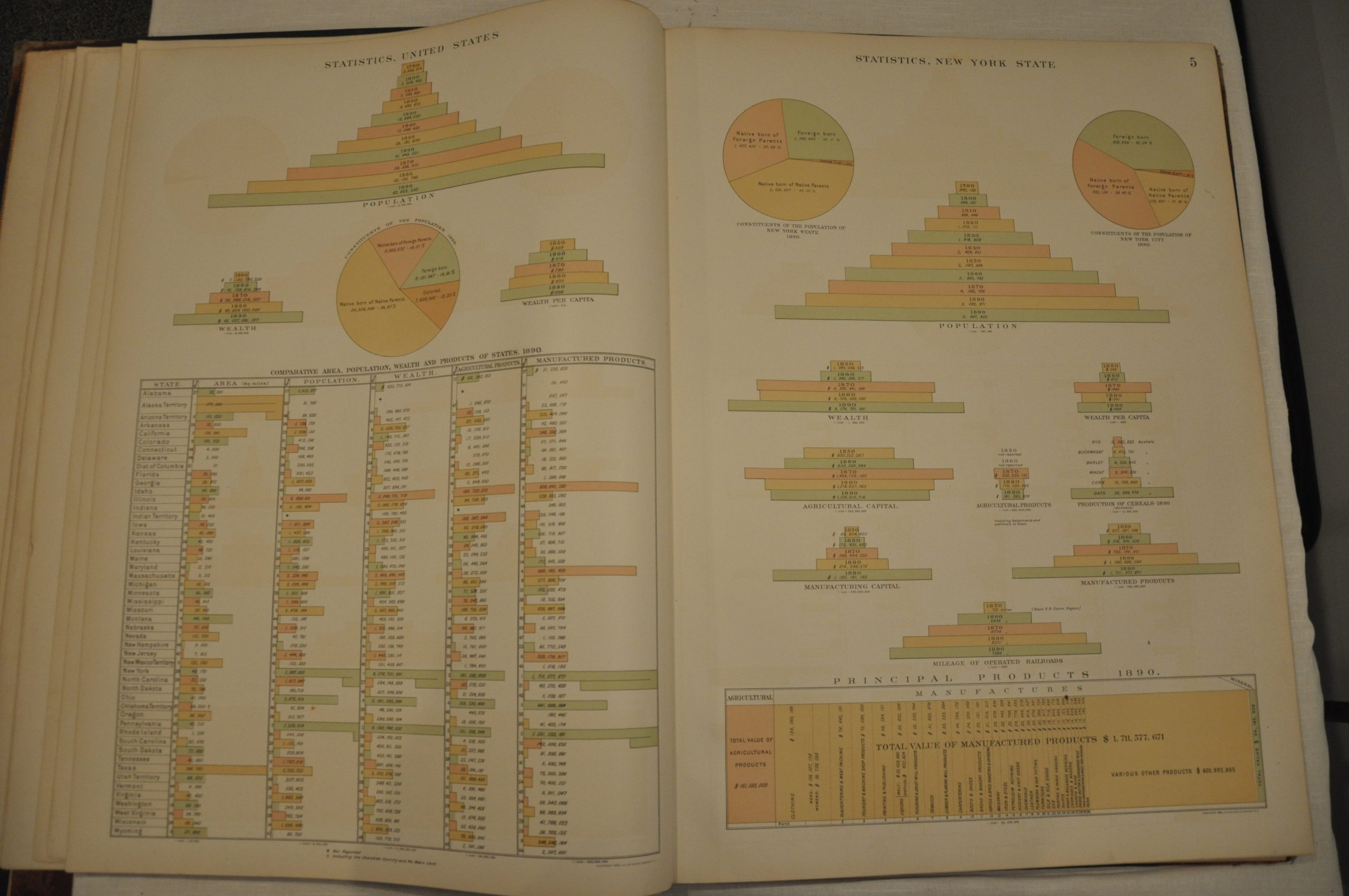
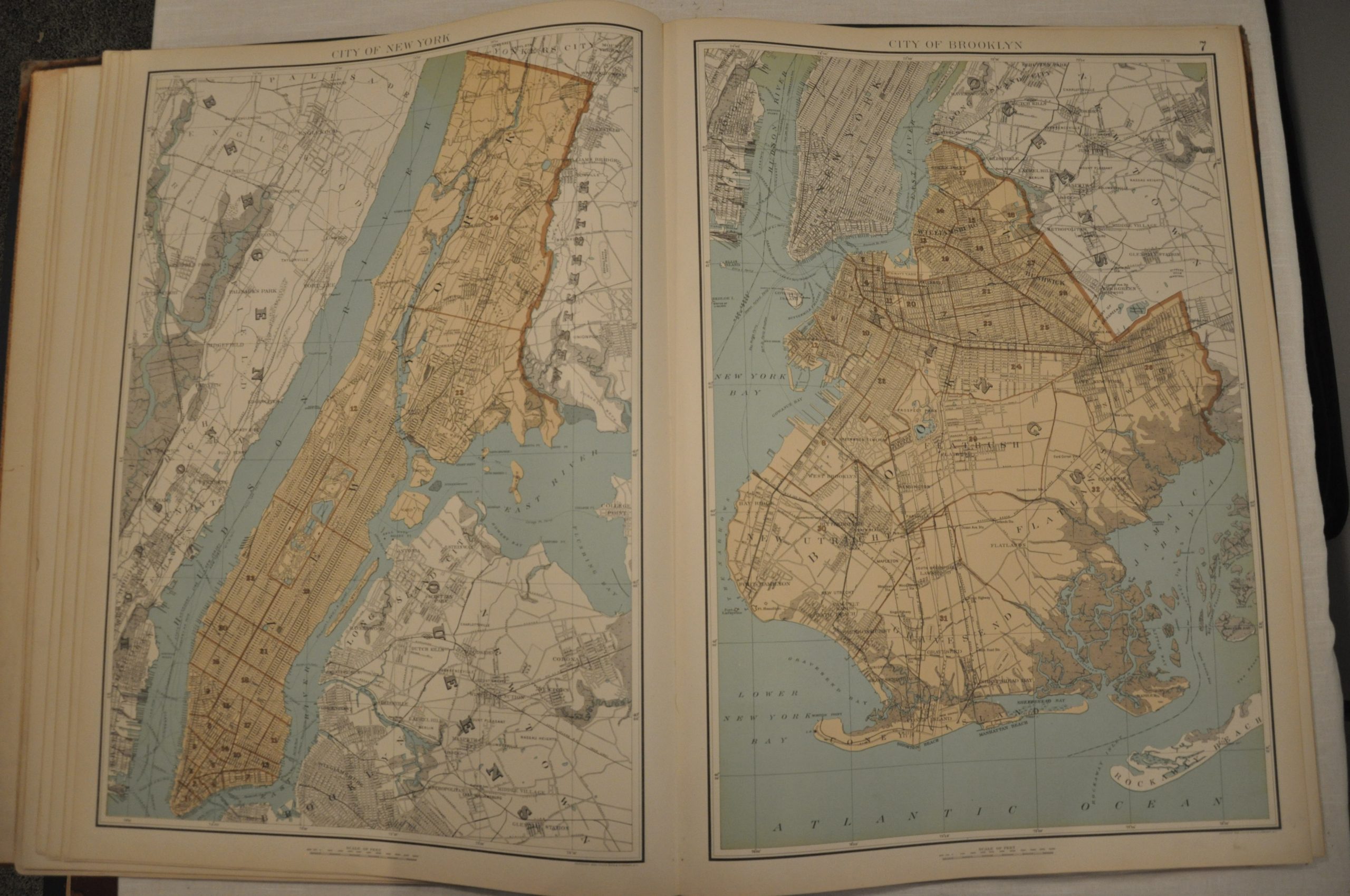
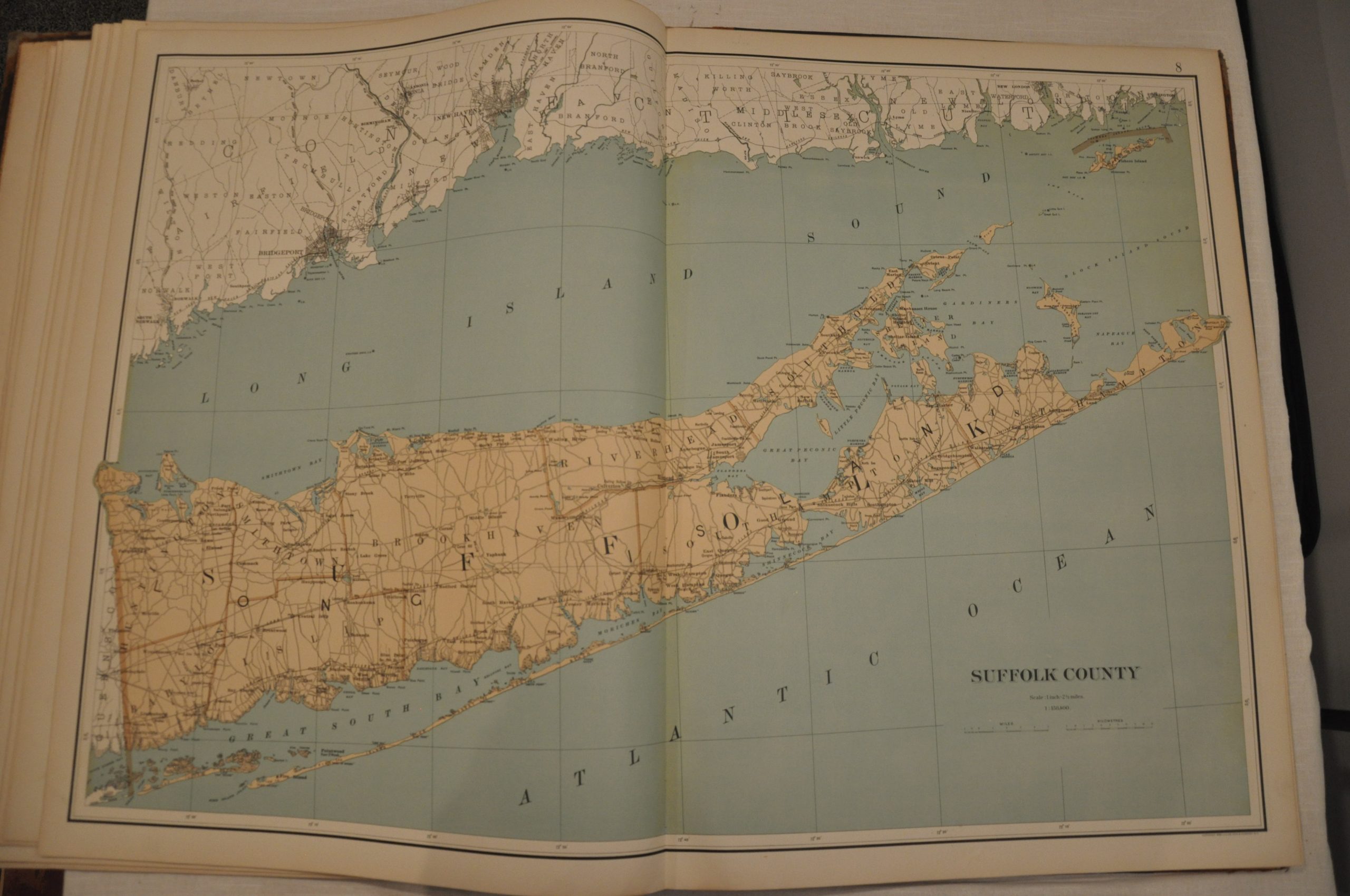
Description
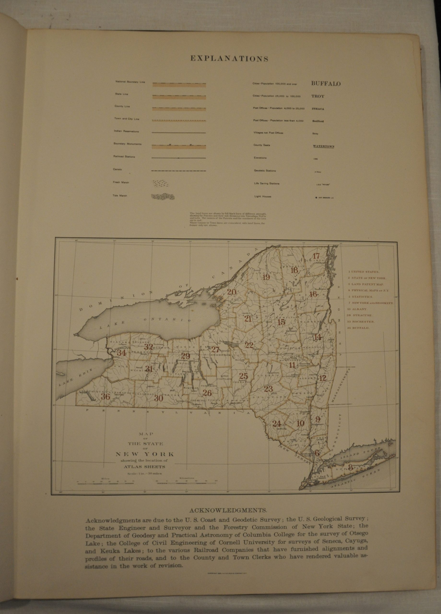
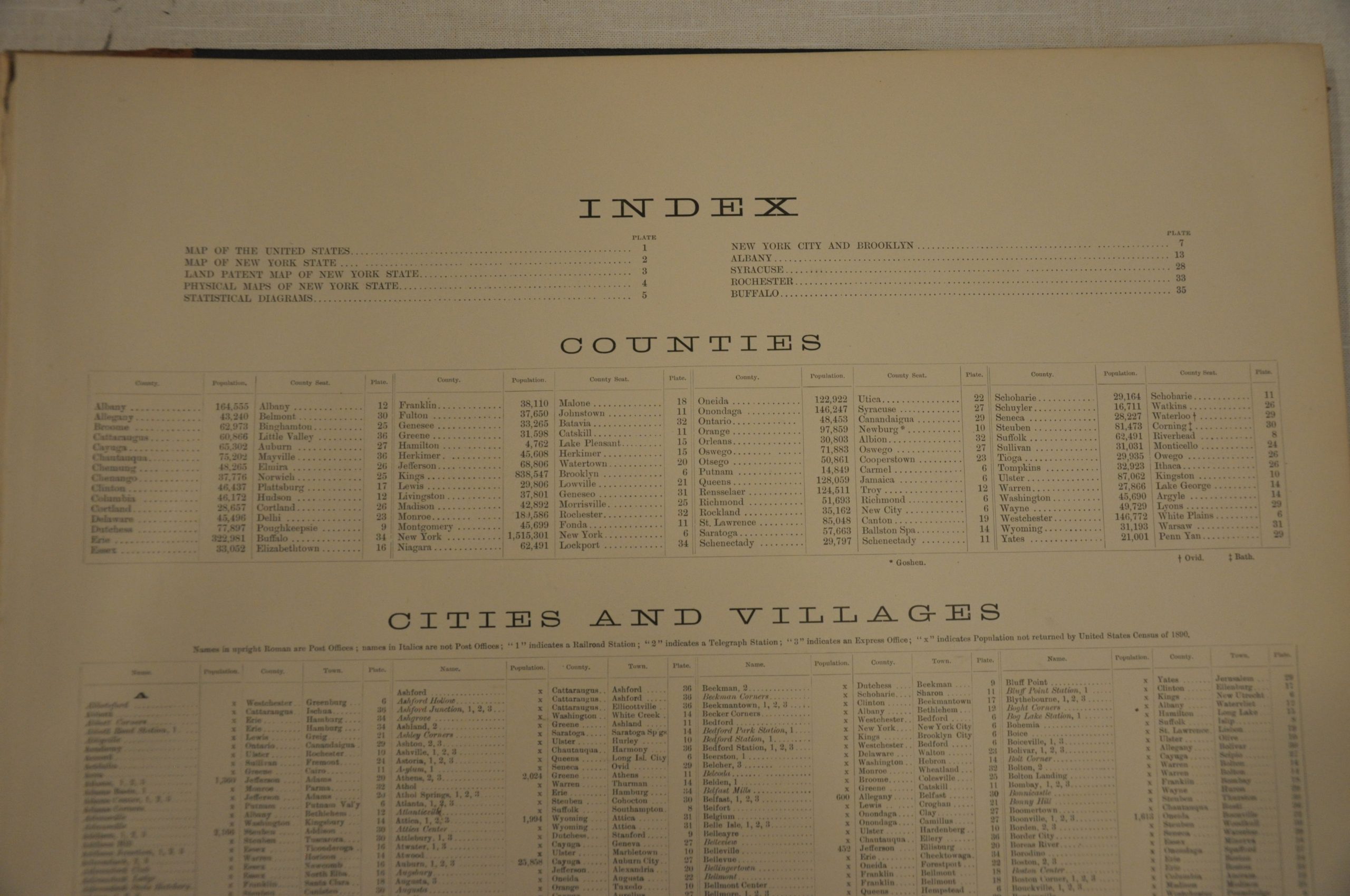
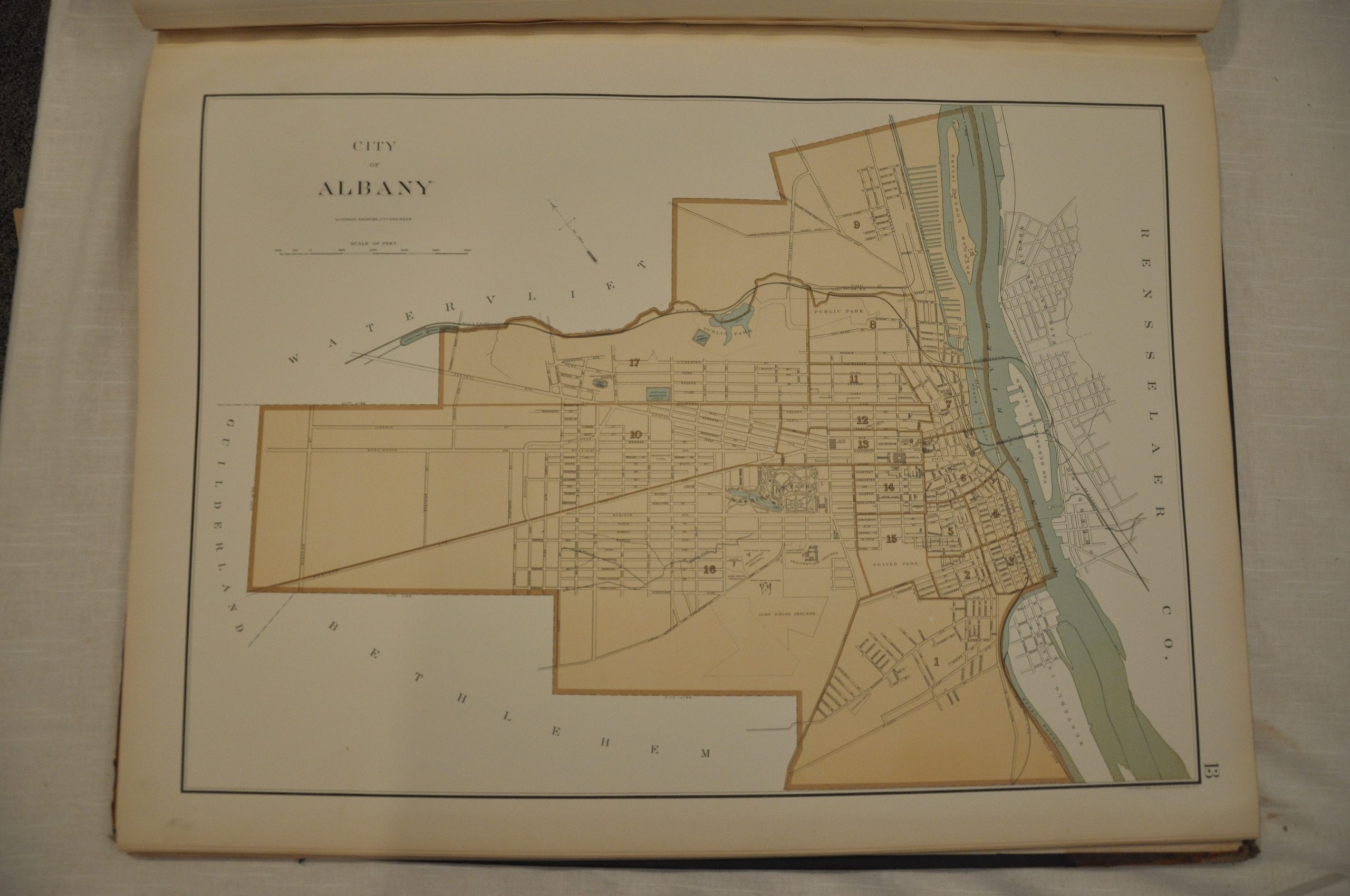
This magnificent atlas of the state of New York showcases the latest available printing technology at the outset of the 20th century. Finely detailed maps published using a relatively new form of mechanical printing called chromolithography allows for fine, neat lines and bold, precise color. Twenty six maps, mostly double page, cover the state’s 60 counties and include information on land division, transportation, topography and prominent geographic features. Also included are maps of the United States, New York, tables of statistics and city plans of New York City, Brooklyn, Syracuse, Albany, Rochester and Buffalo.
Based on previous surveys performed by the U.S.G.S., New York State Survey and the U.S. Lake Surveys, the maps were prepared by Joseph Bien. Publication was done by the firm of Julius Bien & Co., a company well-known for it’s printing and lithography efforts on behalf of the U.S. Government. According to Ristow, this atlas is one of the few separately issued by the company, which played an important role in shaping 19th century cartography.
Map Details
Publication Date: 1895
Author: Julius Bien & Co.
Sheet Width (in): 19
Sheet Height (in): 25.5
Condition: B+
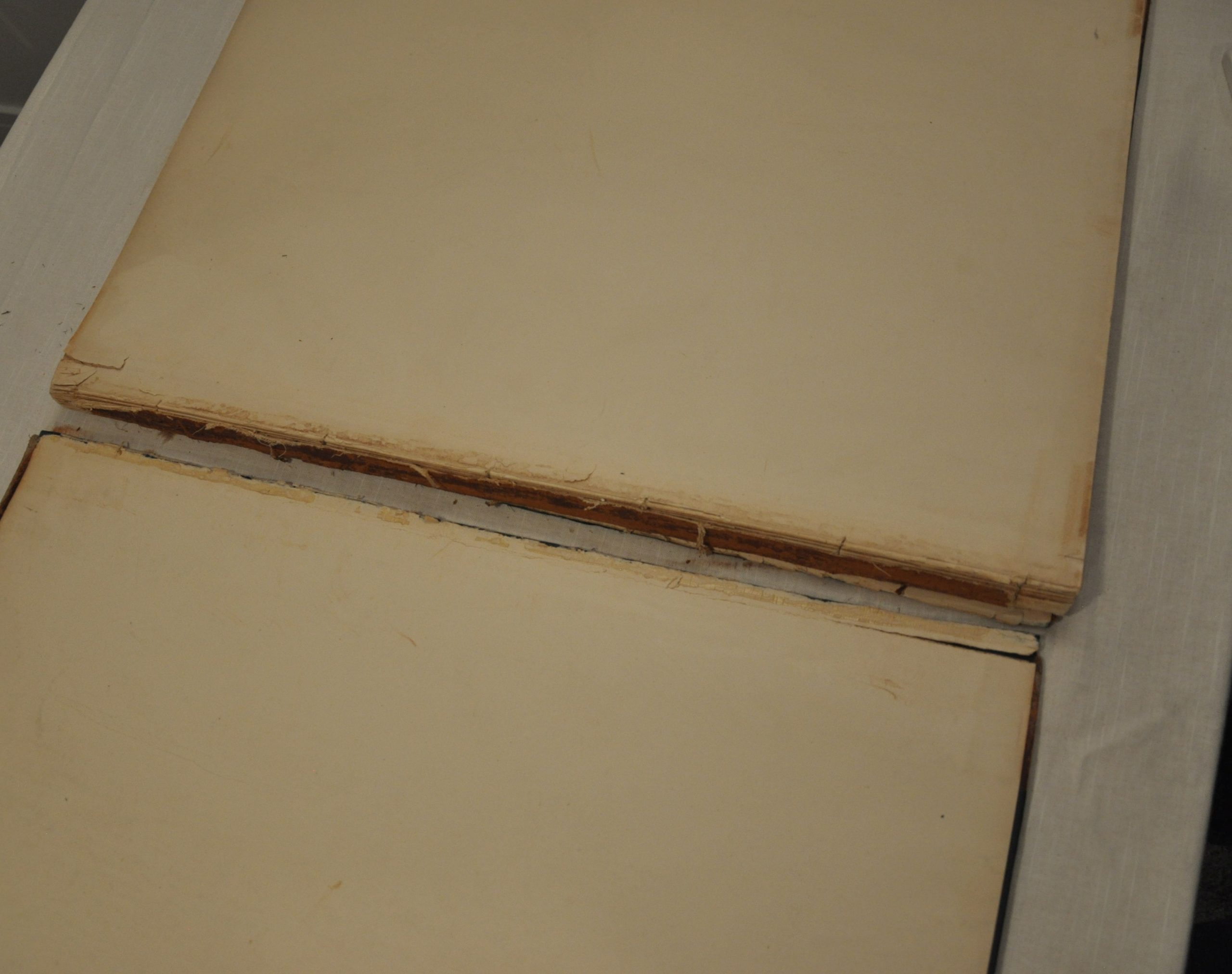
Condition Description: Contemporary half leather covers with gilt title are detached, but present. The spine is tattered and the corners are rubbed and worn. Complete, with 36 color lithographed maps, mostly double page and a few oversized fold outs. Maps are in excellent condition, with a few areas of discoloration and soiling consistent with age. Good to very good overall, save the detached boards.
Out of stock

