Atlas of the State of Illinois
One of the finest atlases of Illinois published during the 19th century.
Out of stock


Description
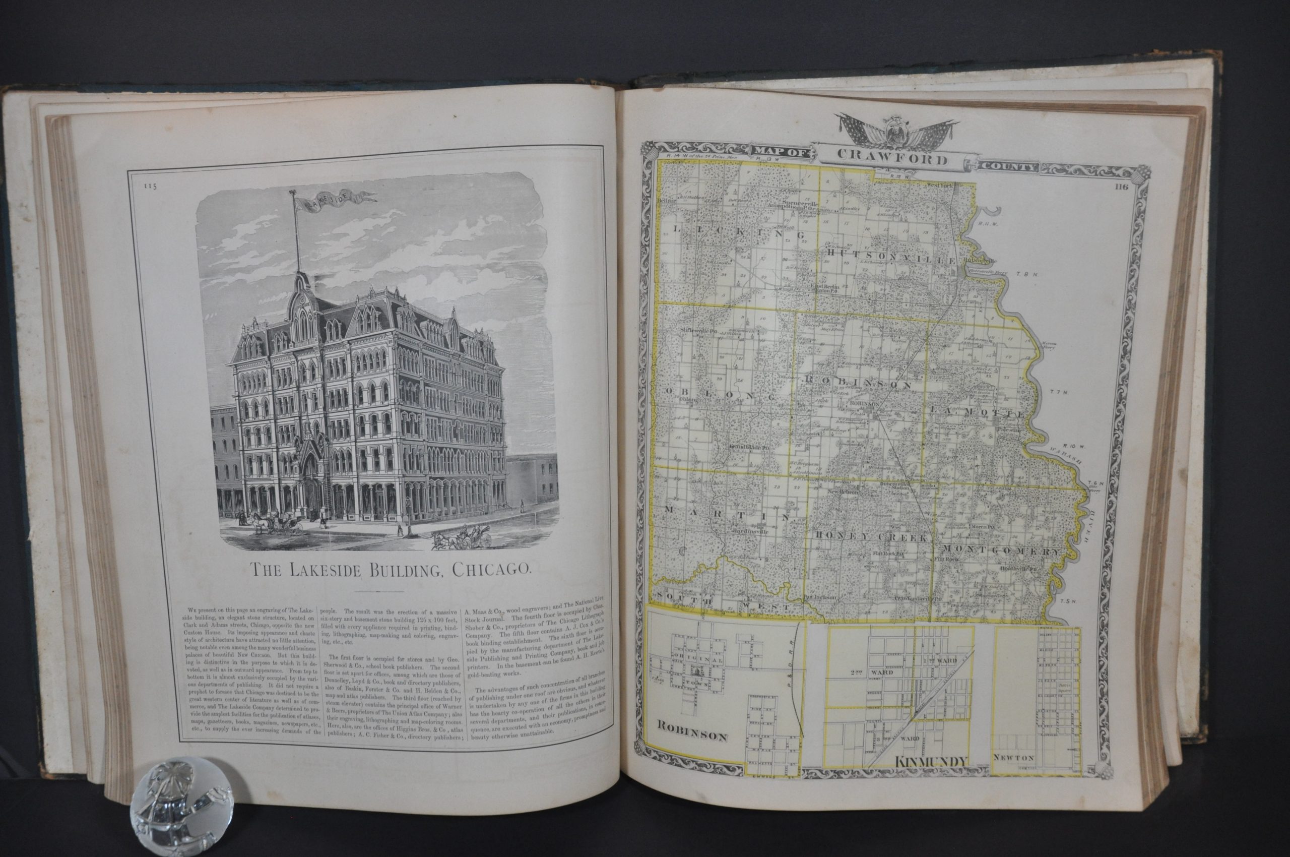
This incredible collection of maps, views, and descriptive text of Illinois was compiled by a team overseen by Frederick W. Beers and George E. Warner of the Union Atlas Company. The firm published the atlas in Chicago’s Lakeside Building in 1876. It was issued on a subscription basis in order to defray the significant upfront costs of publication.
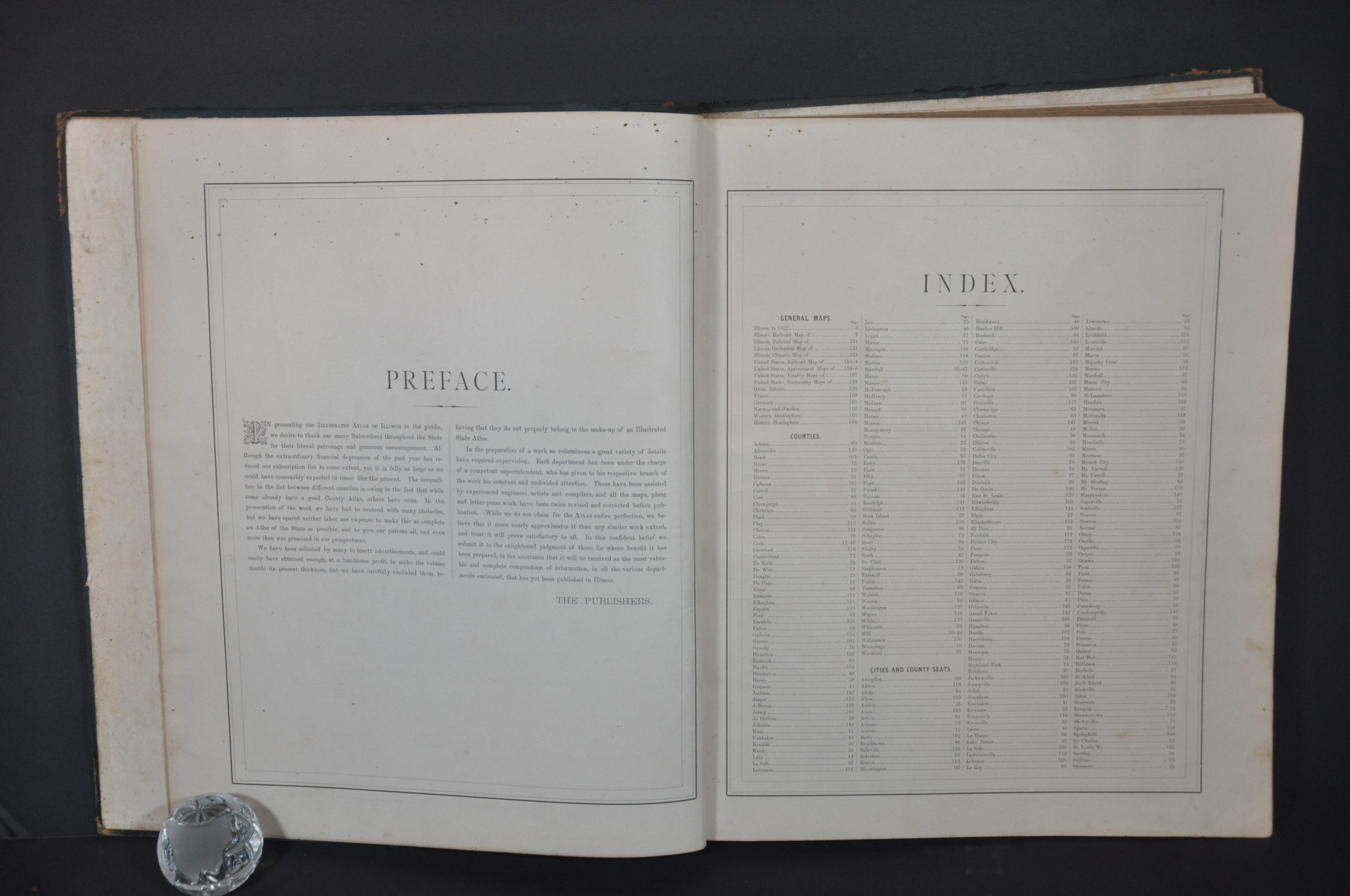
Residents and businesses across the state could pay to have custom portraits, advertisements, or engraved views of homes, commercial buildings, and even prized farm animals included in the robust tome. According to the preface, which briefly outlines the subscription process;
“We have been solicited by many to insert advertisements, and could easily have obtained enough, at a handsome profit, to make the volume double its present thickness, but we have carefully excluded them, believing they do not properly belong to the make-up of an Illustrated State Atlas.”
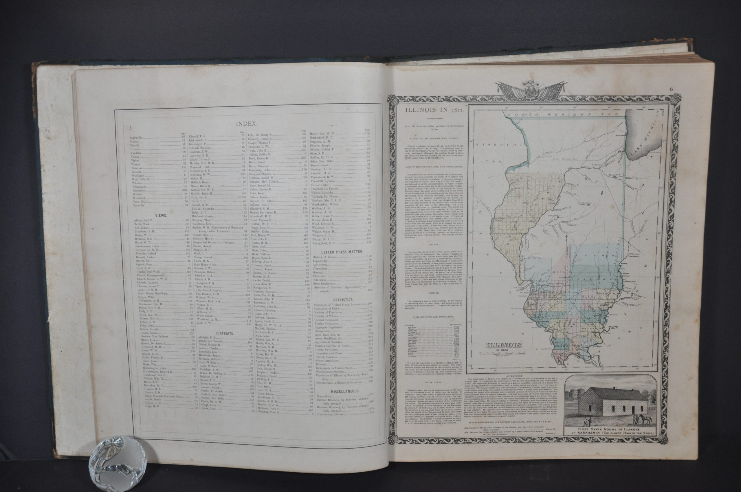
The atlas’s nearly 300 pages provide interesting contemporary insight into The Land of Lincoln about a decade after the Civil War. Contents include the following:
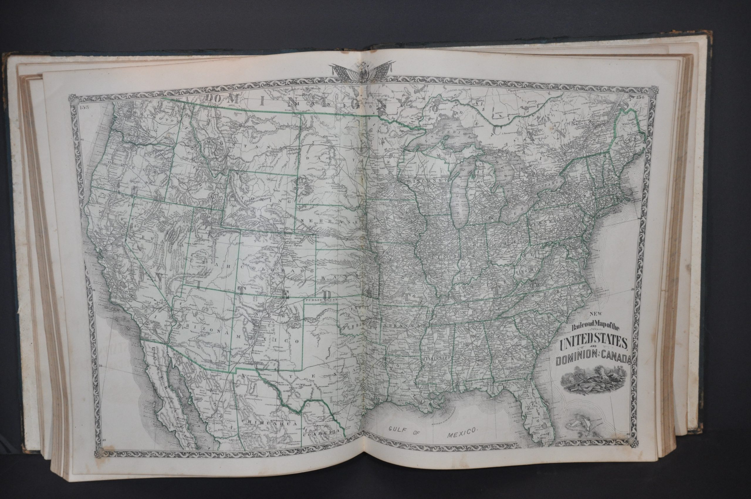
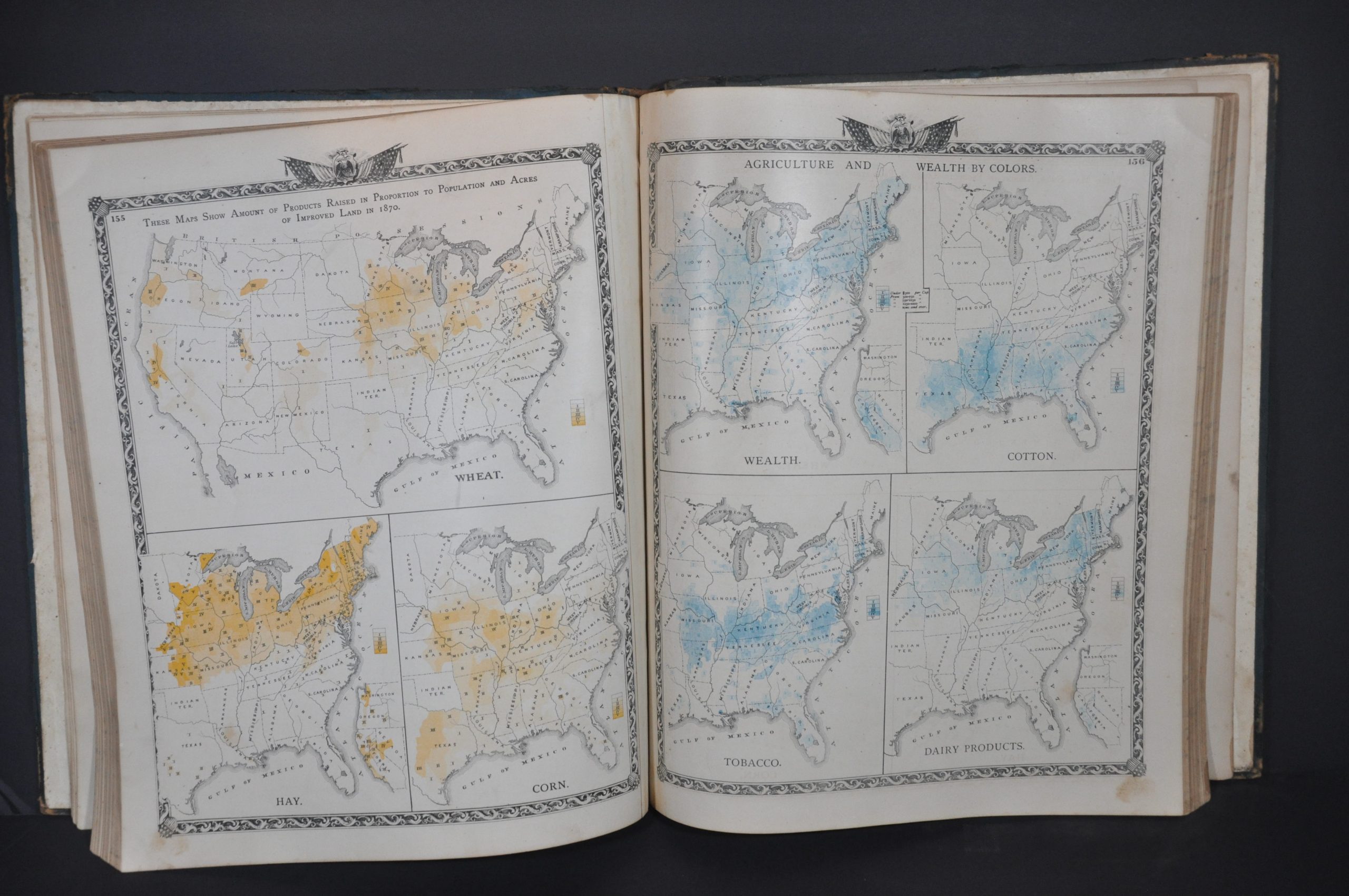
- Various thematic maps of the United States that highlight railroads, agricultural production, nationality, and causes of death (vitality)
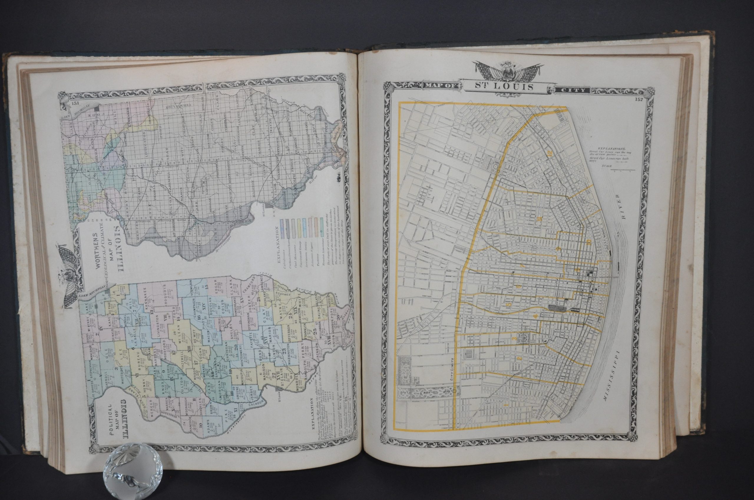
- Thematic maps of Illinois including geologic, political, railroad, and climatic
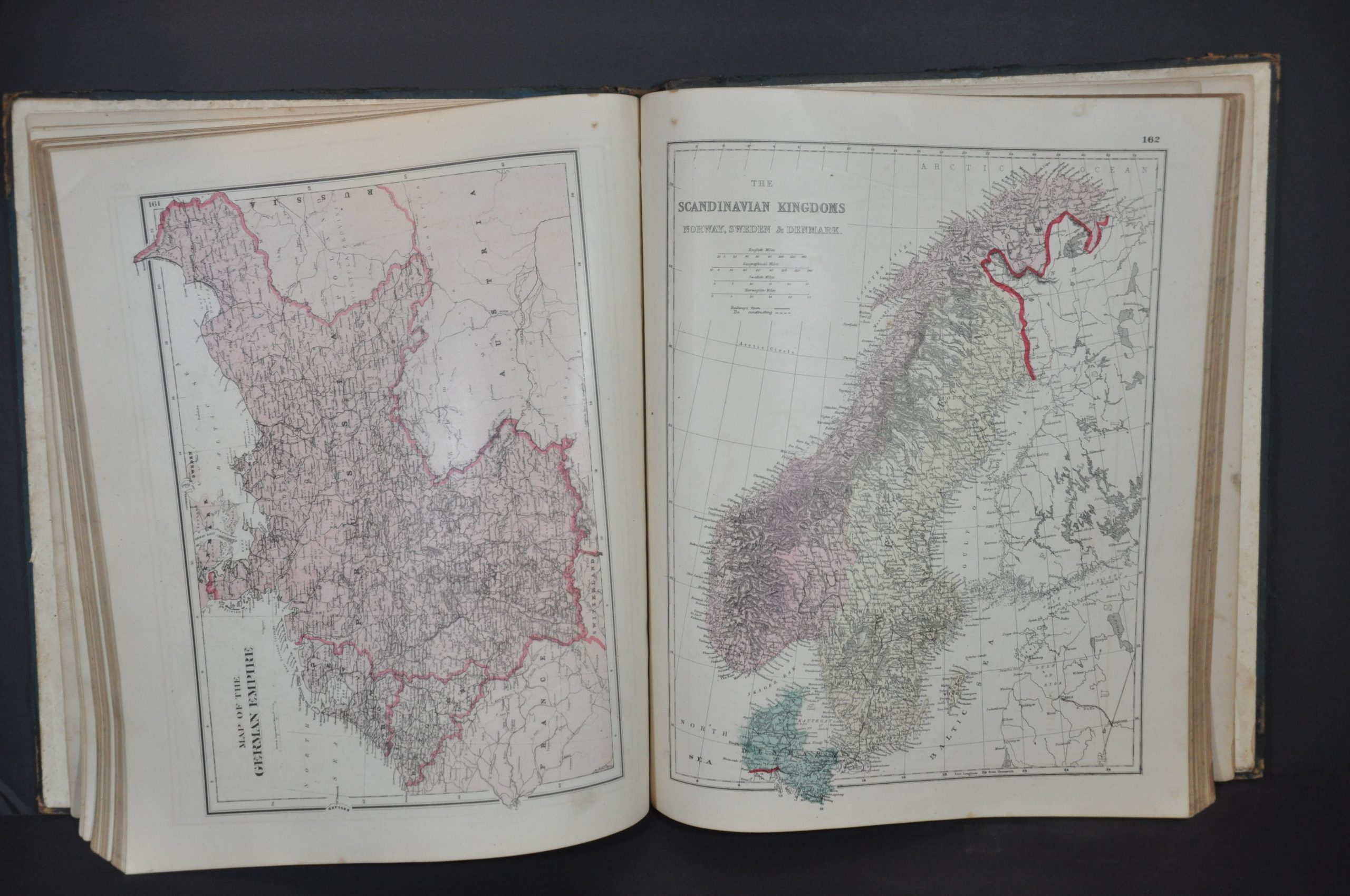
- Single-page maps of Great Britain, France, Germany, Norway, and Sweden – all nations from which Illinois was experiencing a surge in immigration
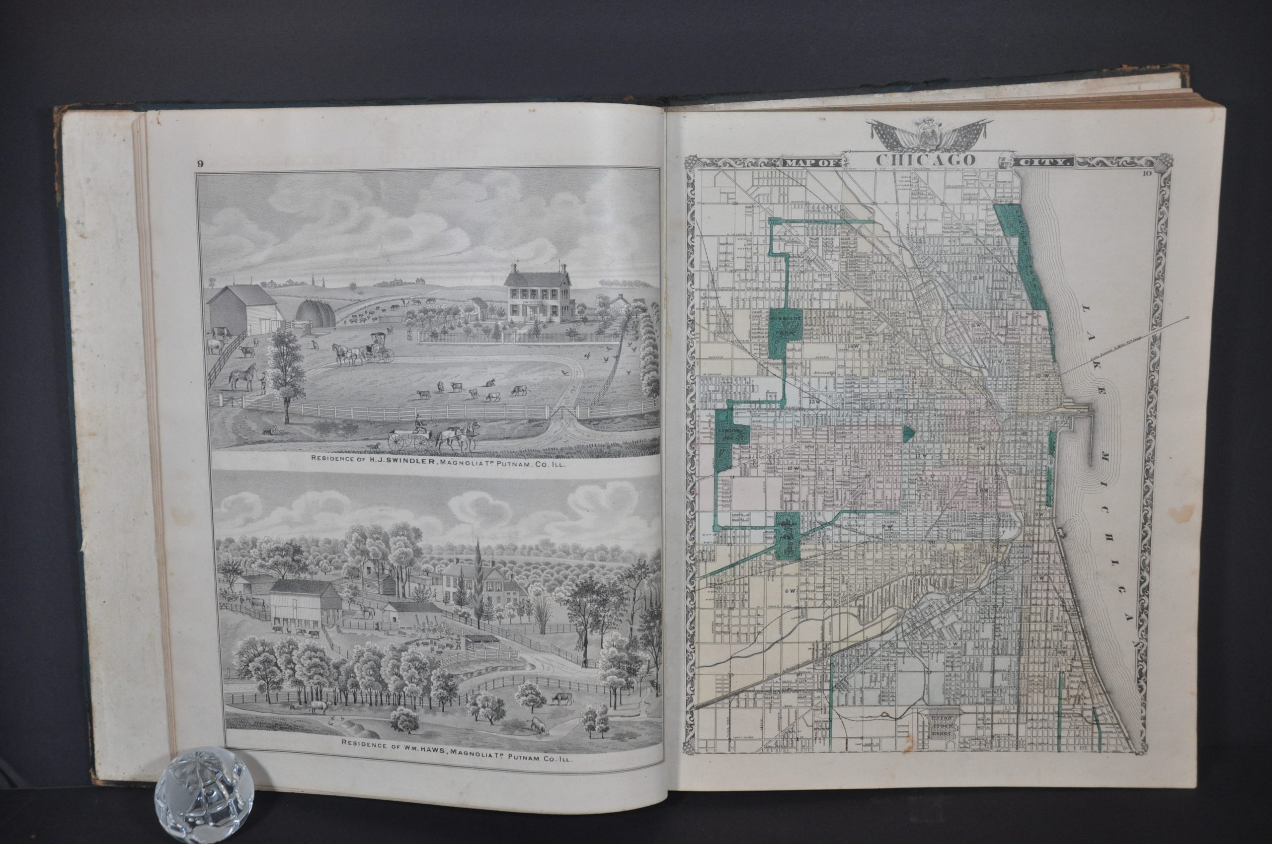
- Detailed city plans of Chicago and St. Louis
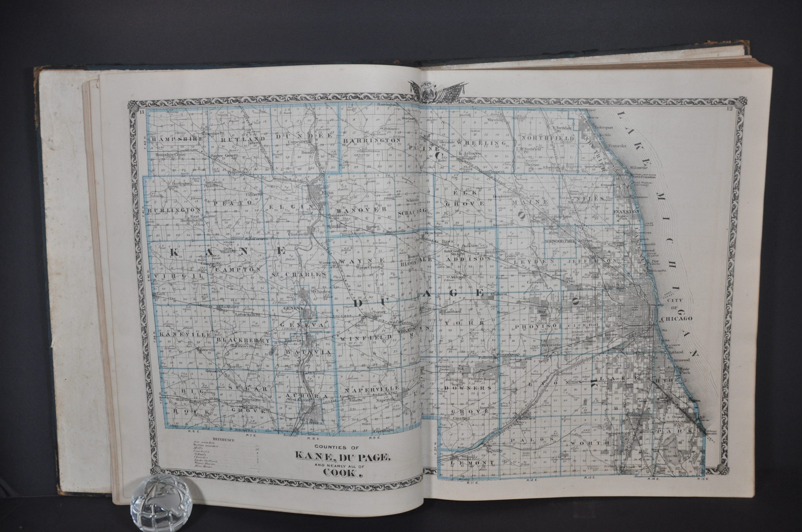
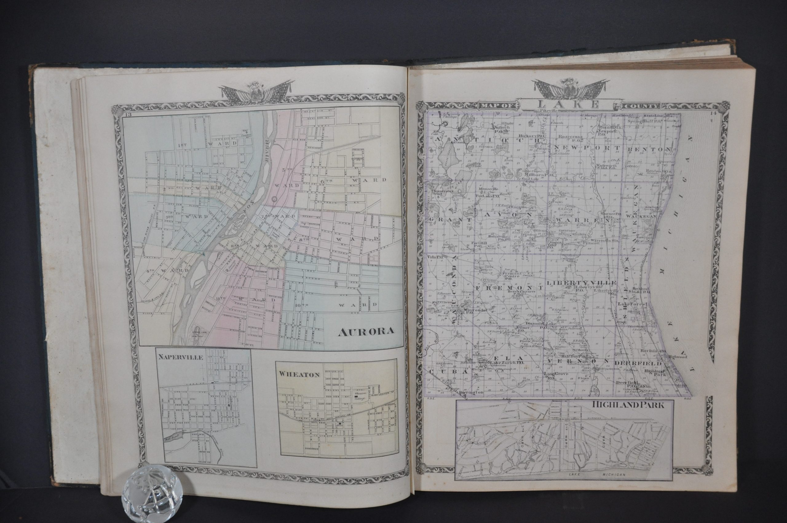
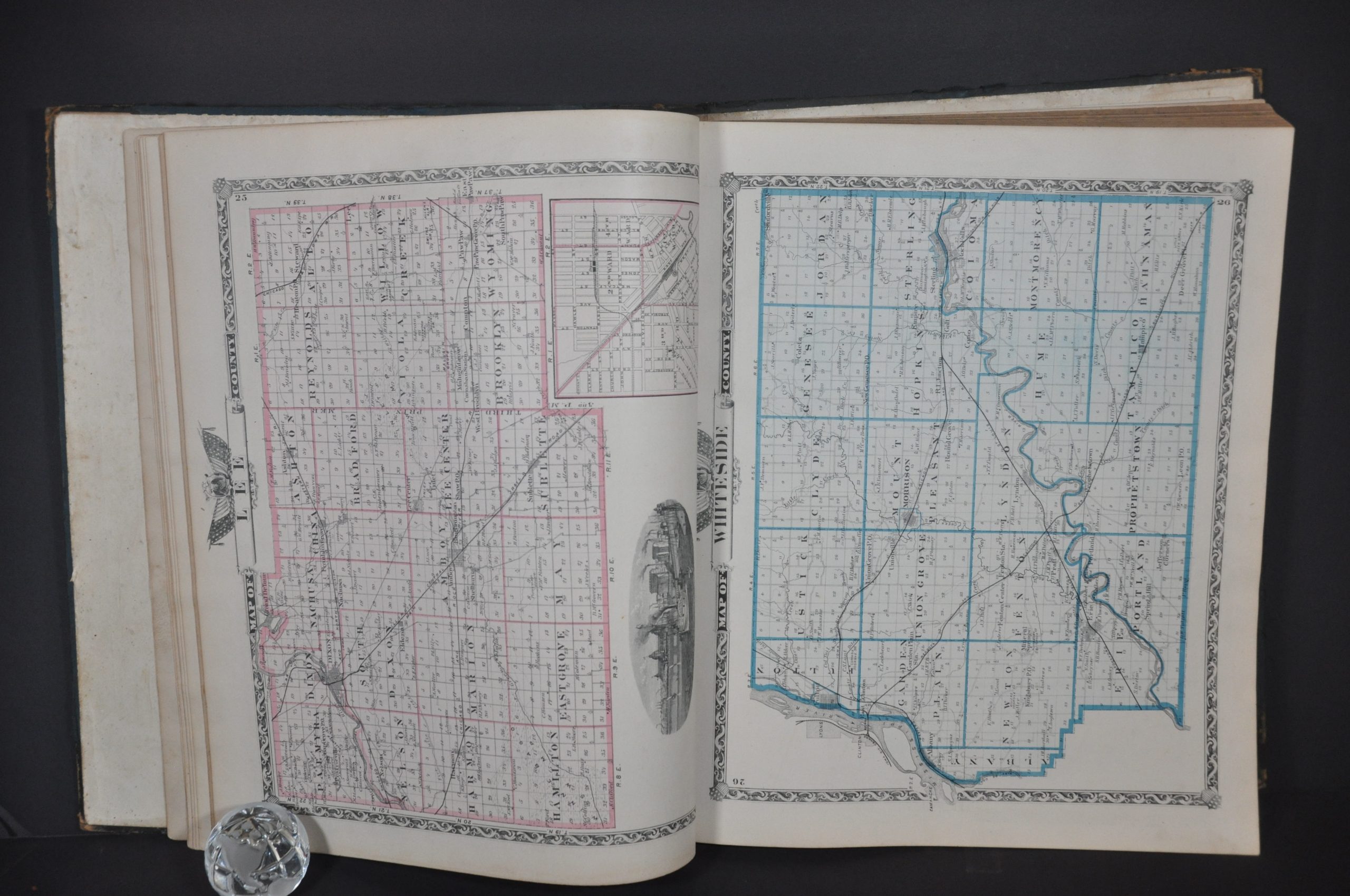
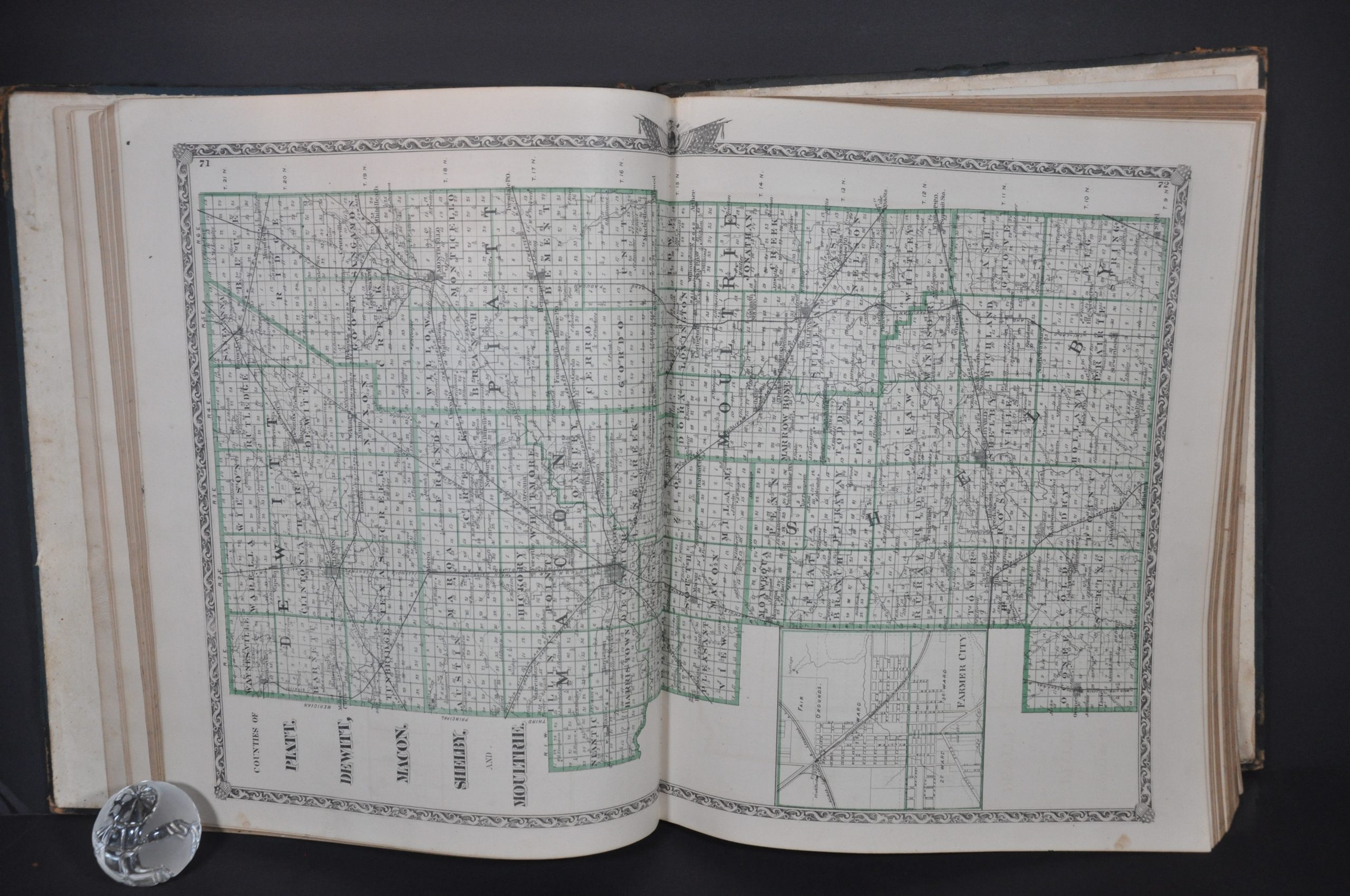
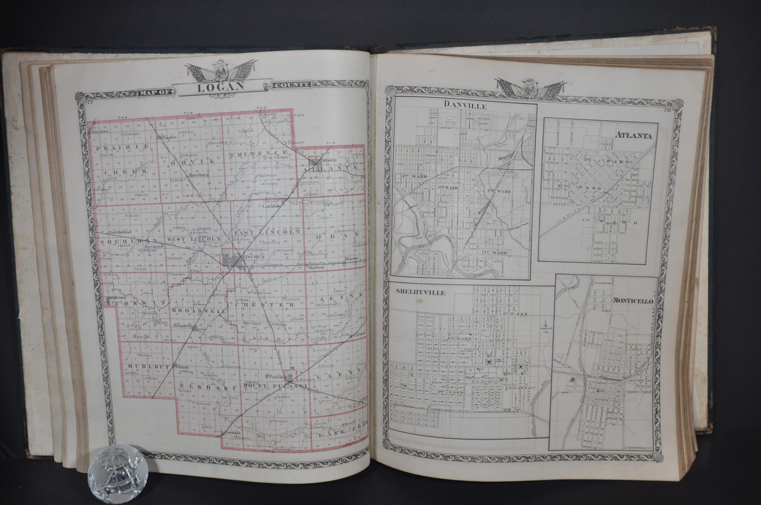
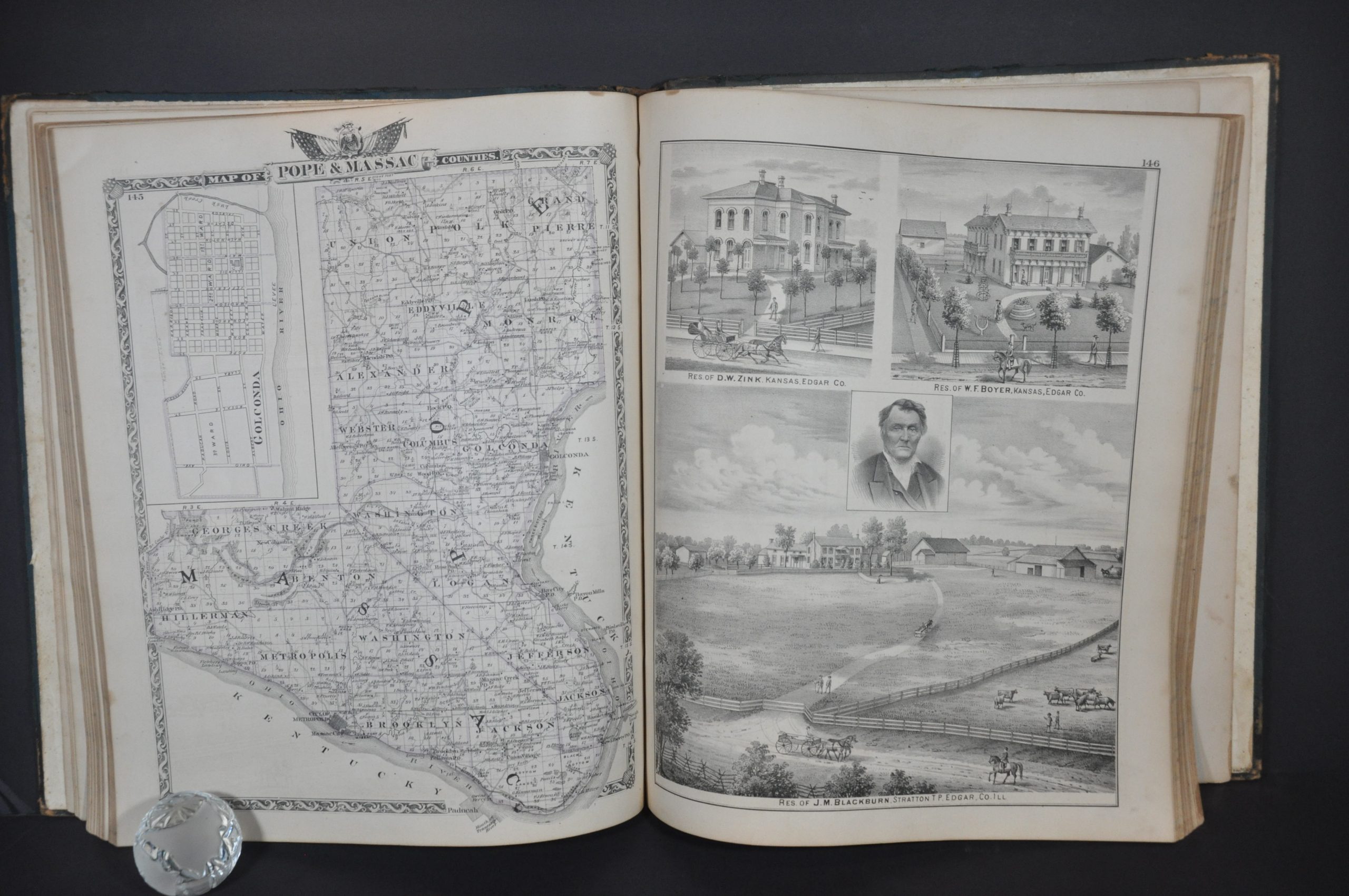
- Dozens of county maps that show prominent land owners, railroads, geographic features, school houses, post offices, etc.
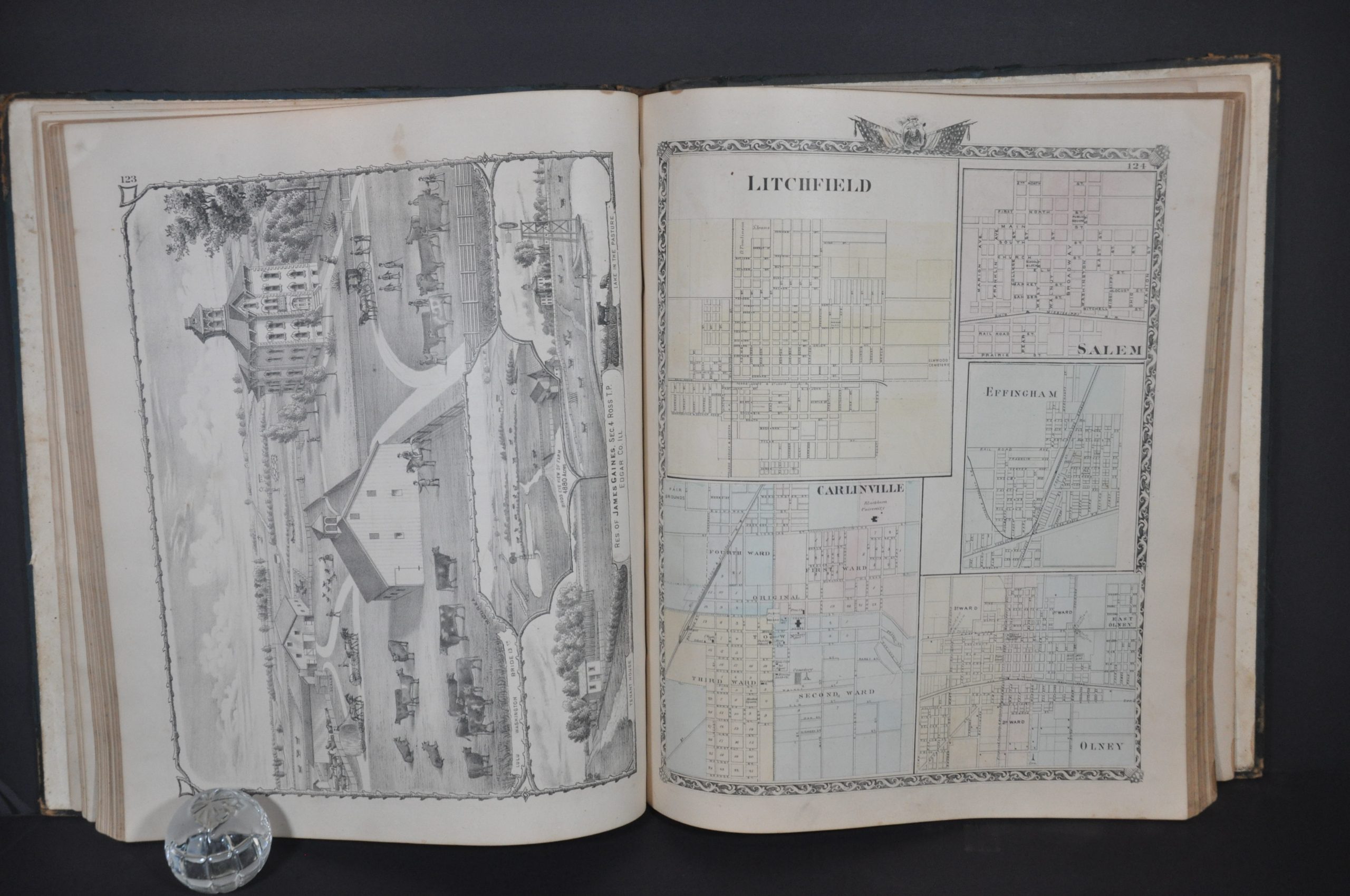
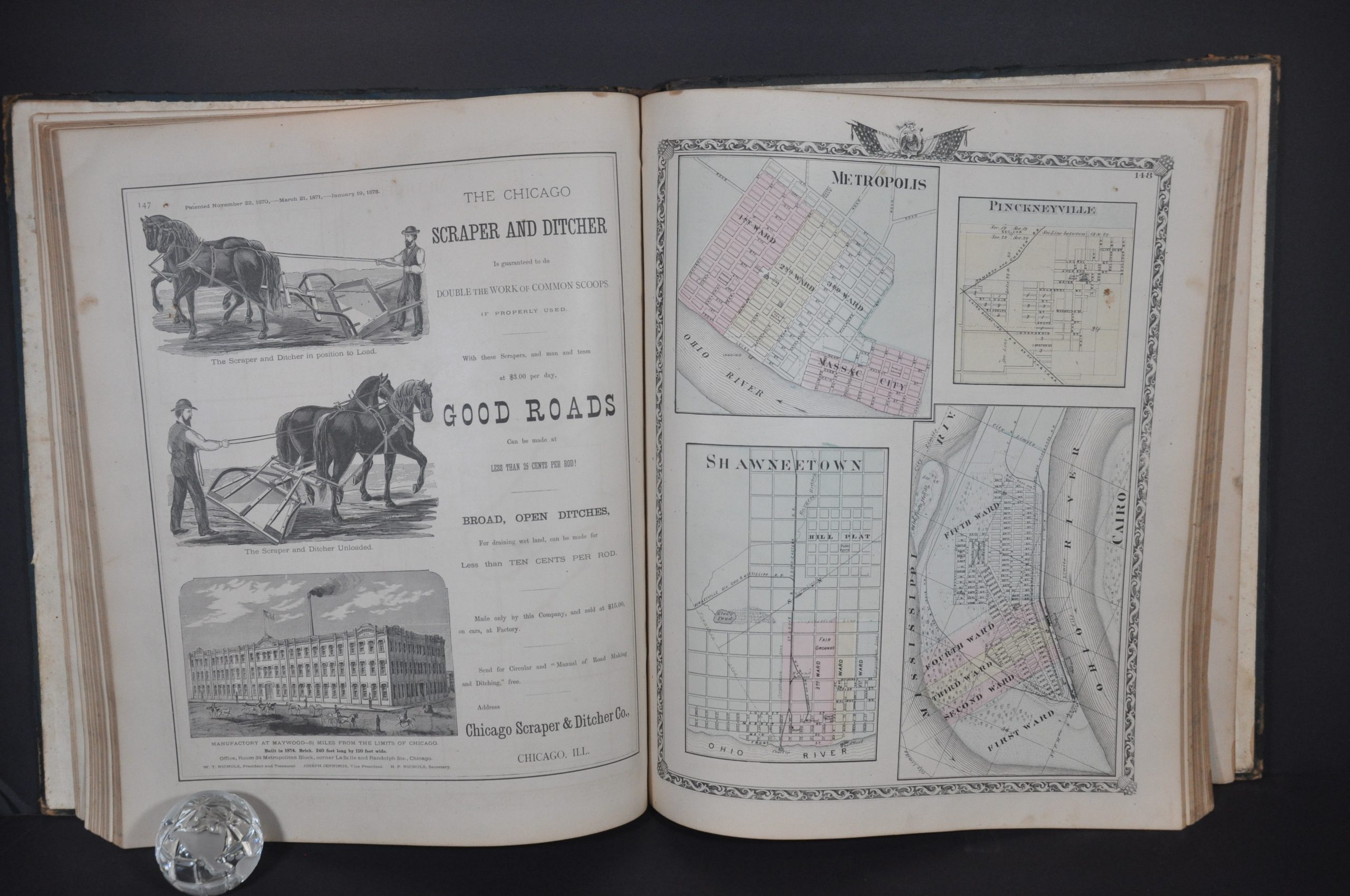
- Dozens of plans of cities and county seats that label street names, local infrastructure, and important buildings.
- Scores of views and portraits of prominent citizens/atlas subscribers
- 100+ pages of text that cover a historical account of Illinois, biographies of its counties and influential residents, and descriptions of the politics, geology, agriculture, and various state institutions
- Contemporary advertisements for farming implements, book publishers, and hotels
- 20+ pages of tables of statistics that present details on everything from national and statewide population demographics to the distribution of newspapers and pauperism
Map Details
Publication Date: 1876
Author: Warner & Beers
Sheet Width (in): 14.5
Sheet Height (in): 17.5
Condition: B+
Condition Description: 293 pp. state atlas bound in original quarter black leather with dark blue cloth. Spine and hinges are heavily worn and show old repairs that are beginning to deteriorate. As a result, the back board is hanging on by a thread and the flypaper is also starting to come loose. The contents remain intact, complete, and in good condition. Slight toning and scattered soiling throughout, with a few pages of text showing a bit heavier staining. The view of the capitol, opposite the title page, is more heavily soiled as well. The maps are generally in very good condition, with a few showing marginal staining or faint spotting within the image. Good to very good condition overall.
Out of stock