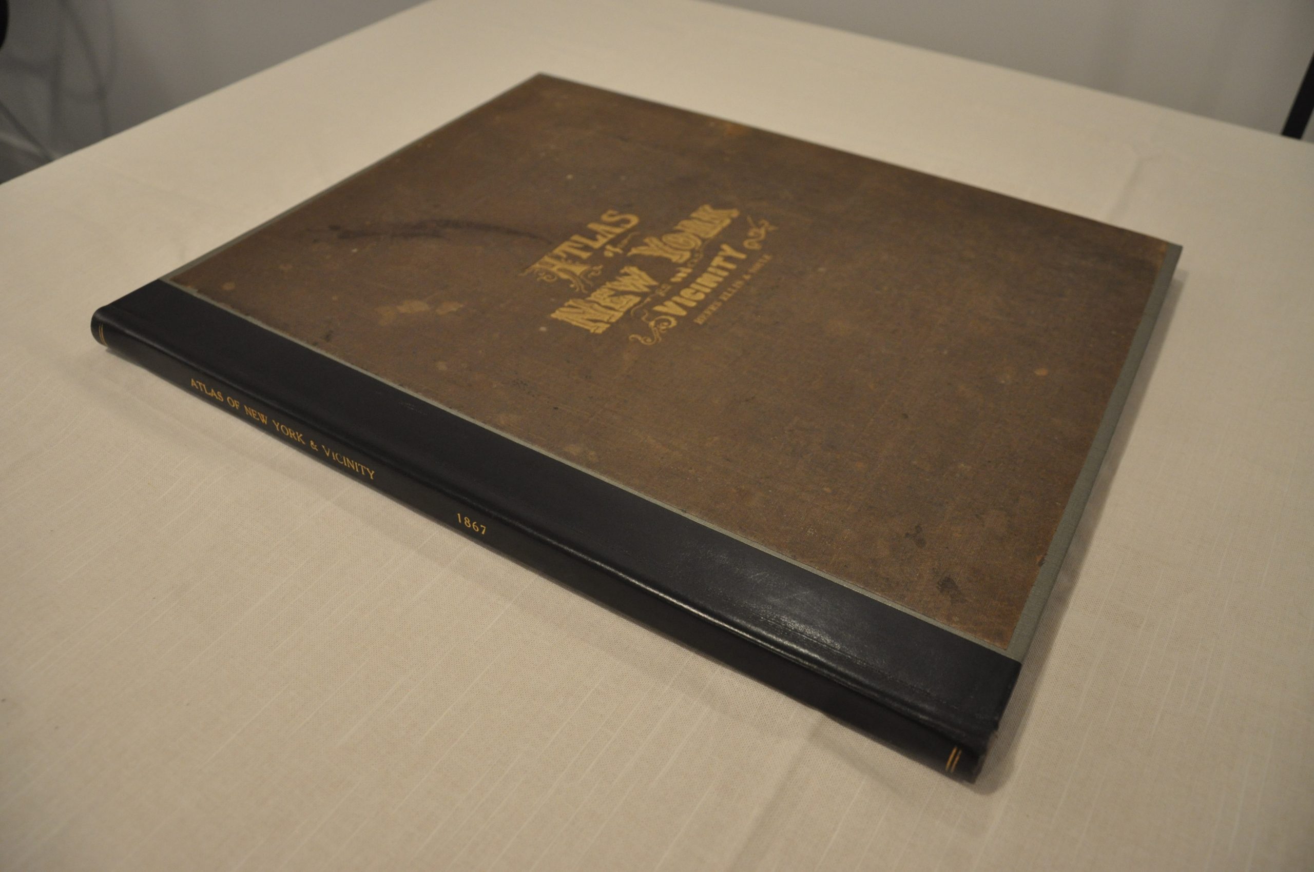
Atlas of New York and Vicinity
Rare post-Civil War atlas of the area surrounding New York City.
Out of stock
Description
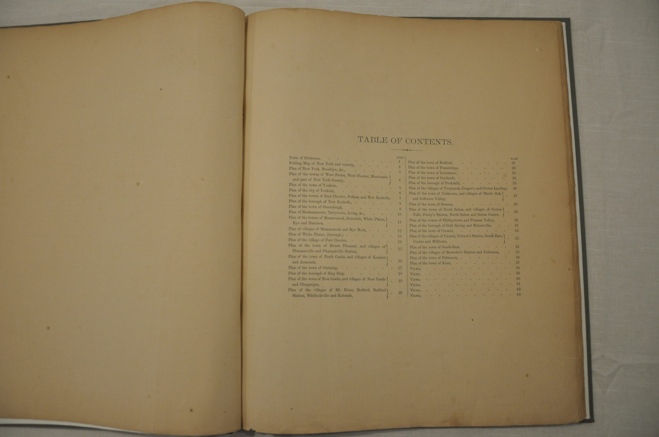
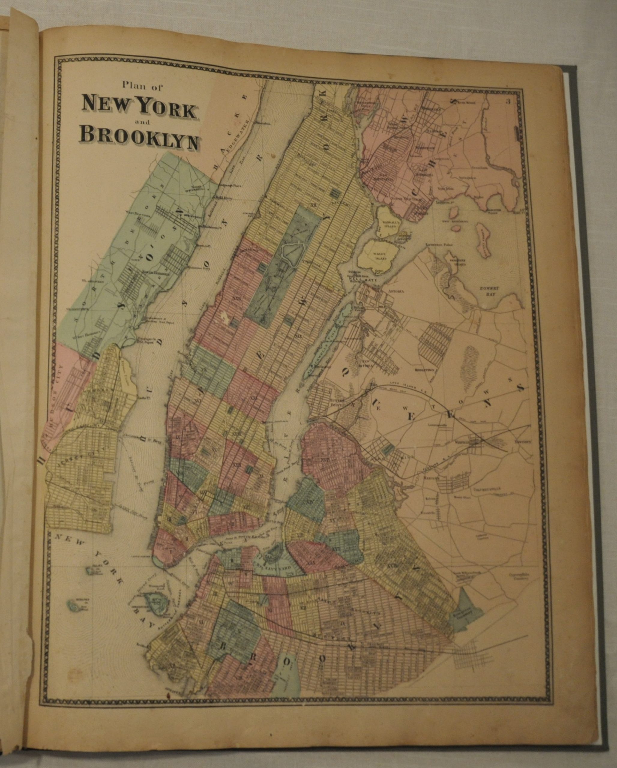
This is an interesting atlas of Dutchess and Westchester Counties in New York, highlighting the numerous quaint towns and villages easily accessible from the city. A folding map of New York and vicinity and plan of Brooklyn are followed by 36 additional maps which show details on homestead ownership, transportation routes, and basic topographic information. The single page and fold out maps range in scale depending on the area depicted.
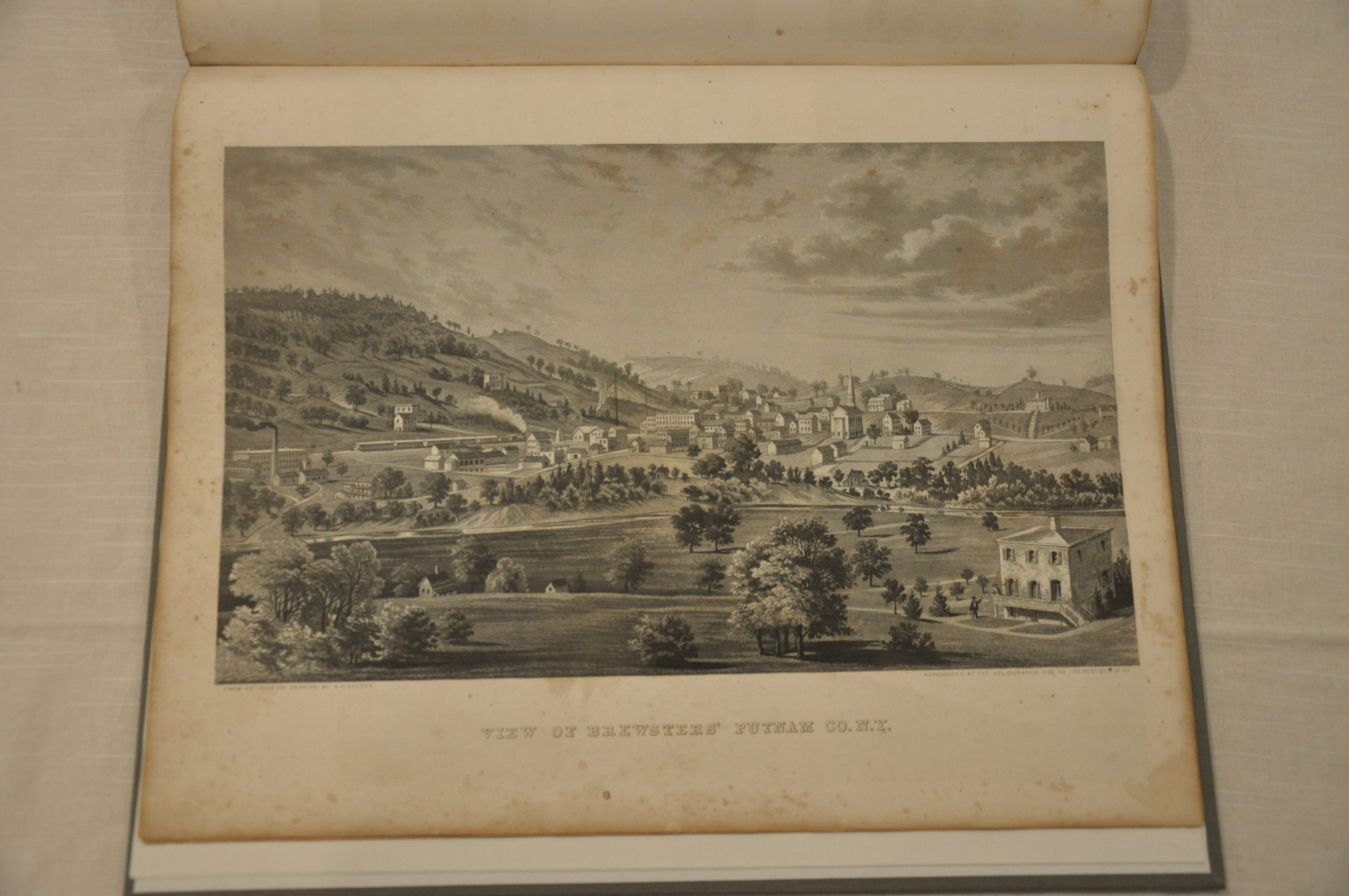
Also included are numerous pages of lithographed views of the properties of atlas patrons and an extensive “Table of Air-Line Distances” that shows mileage as the crow flies between various locations, long before the concept of air travel. Published in New York by F.W. Beers, A.D. Ellis and G.G. Soule, with credit also given to George Warner.
Map Details
Publication Date: 1867
Author: Beers, Ellis and Soule
Sheet Width (in): 15
Sheet Height (in): 18
Condition: B
Condition Description: The atlas is in good condition, having been professionally rebound with modern endpapers. Original title page and cover. Complete - 47 pages with 26 single page and 9 folding maps. Minor to moderate toning evident on all pages. A few have small spots of foxing or small edge tears, also. The Singsing sheet has significant browning along one fold and two 1" holes, which have been backed and reinforced. Otherwise, the fold out maps are intact and in good shape - a bold impression on clean paper. As with the single page maps, there is some foxing and soiling. Tears have been professionally restored with archival materials.
Out of stock


