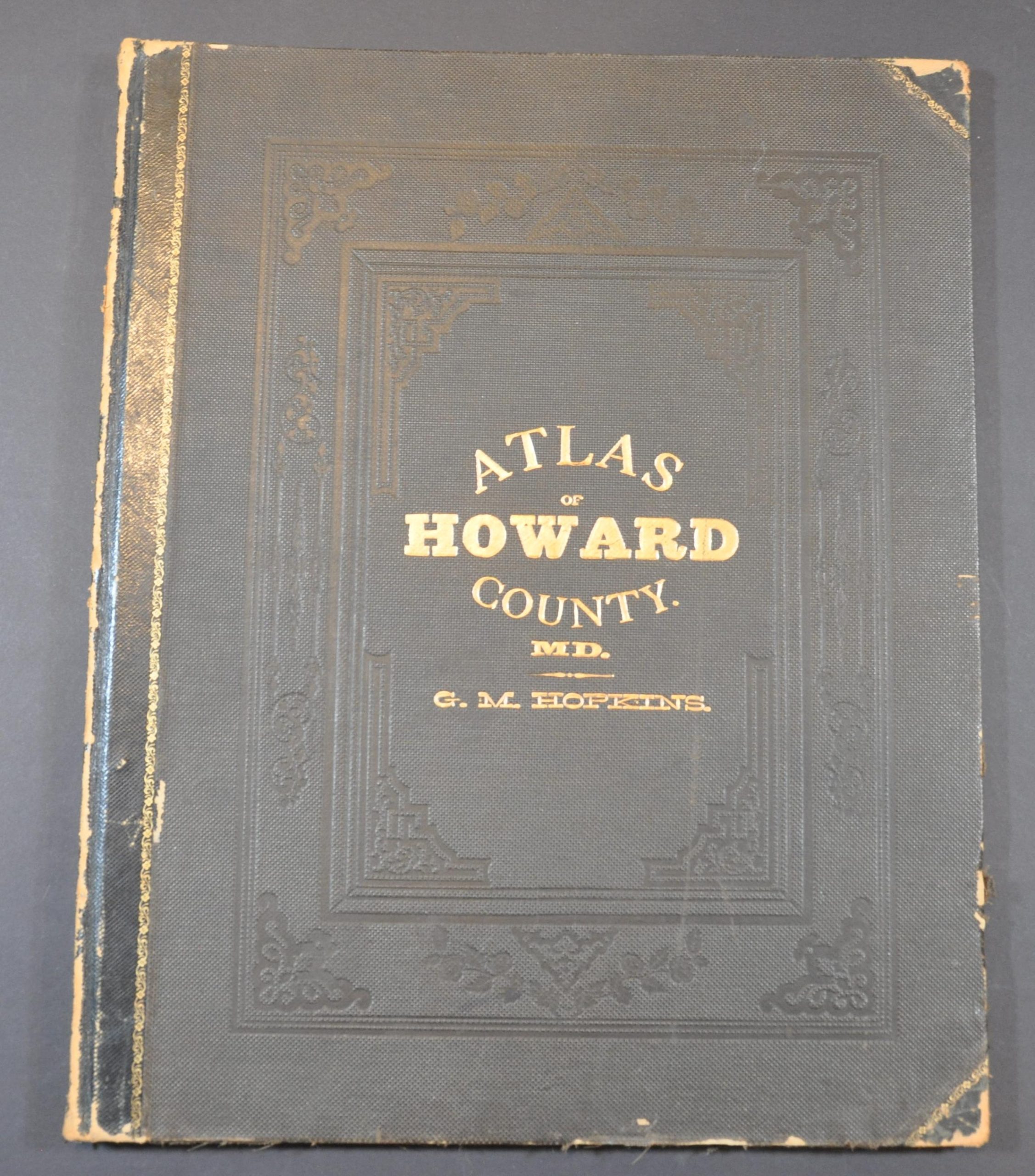
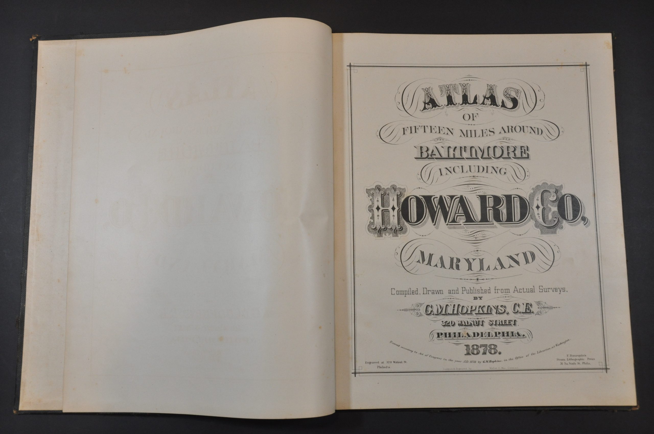
Atlas of Fifteen Miles Around Baltimore Including Howard Co, Maryland
Detailed atlas of Baltimore and Howard County, Maryland from the late 1870s.
Out of stock
Description
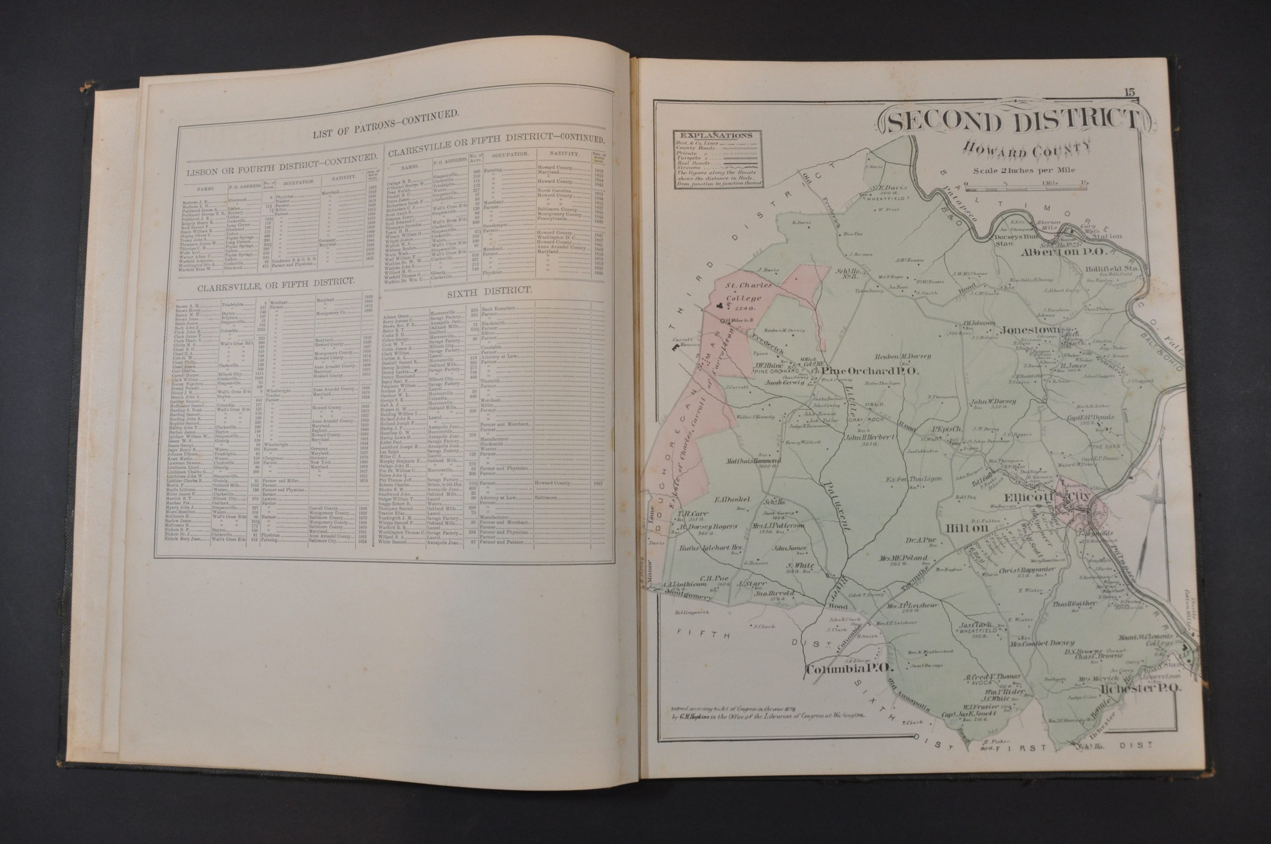
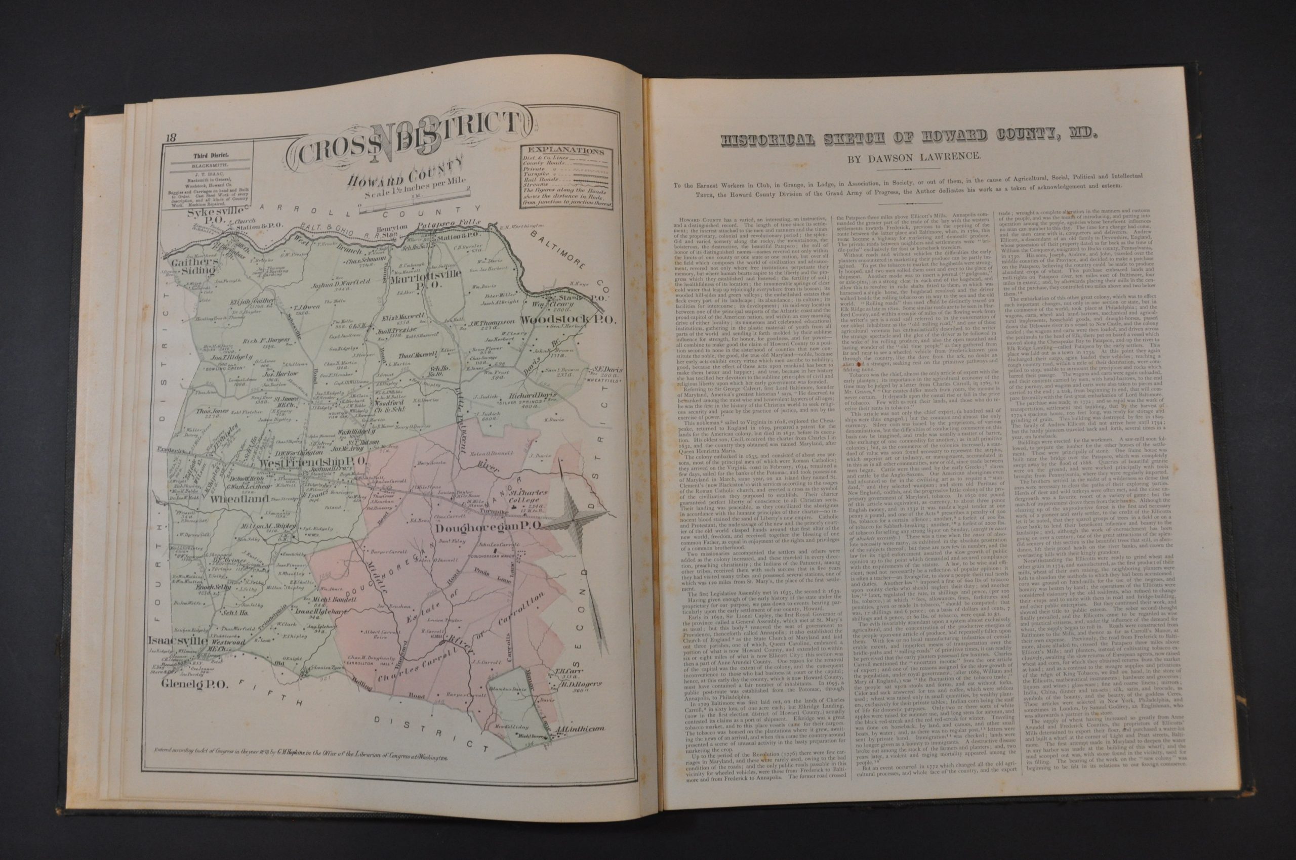
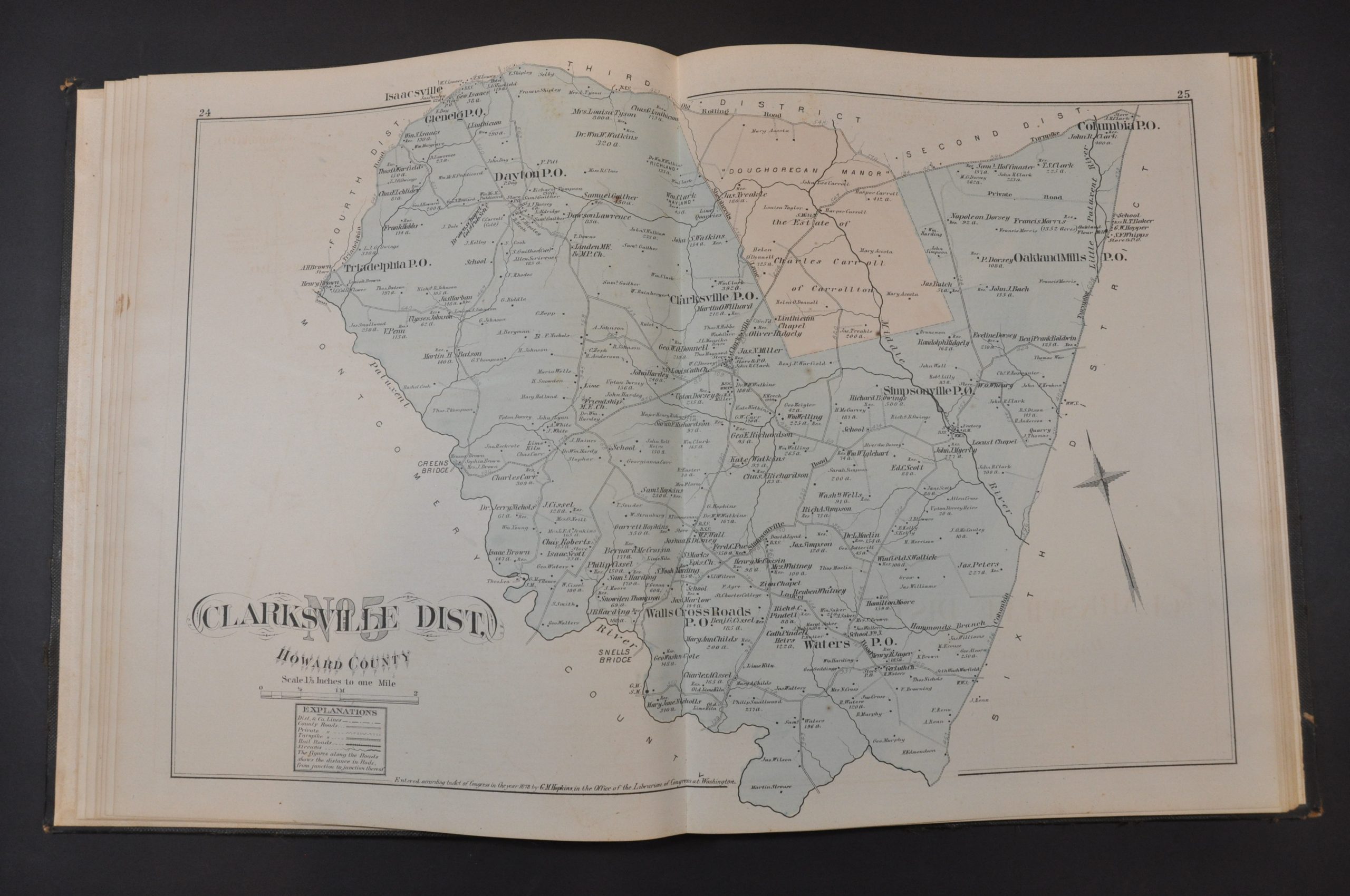
This incredible atlas provides a thorough overview of the city of Baltimore and Maryland’s Howard County in the late 19th century. The area represented within contains all of Howard County Municipality, an interesting civic construct located between Baltimore and Washington, D.C, and includes the communities of Columbia, Clarksville, Dayton, Glenelg, Glenwood, and West Friendship.
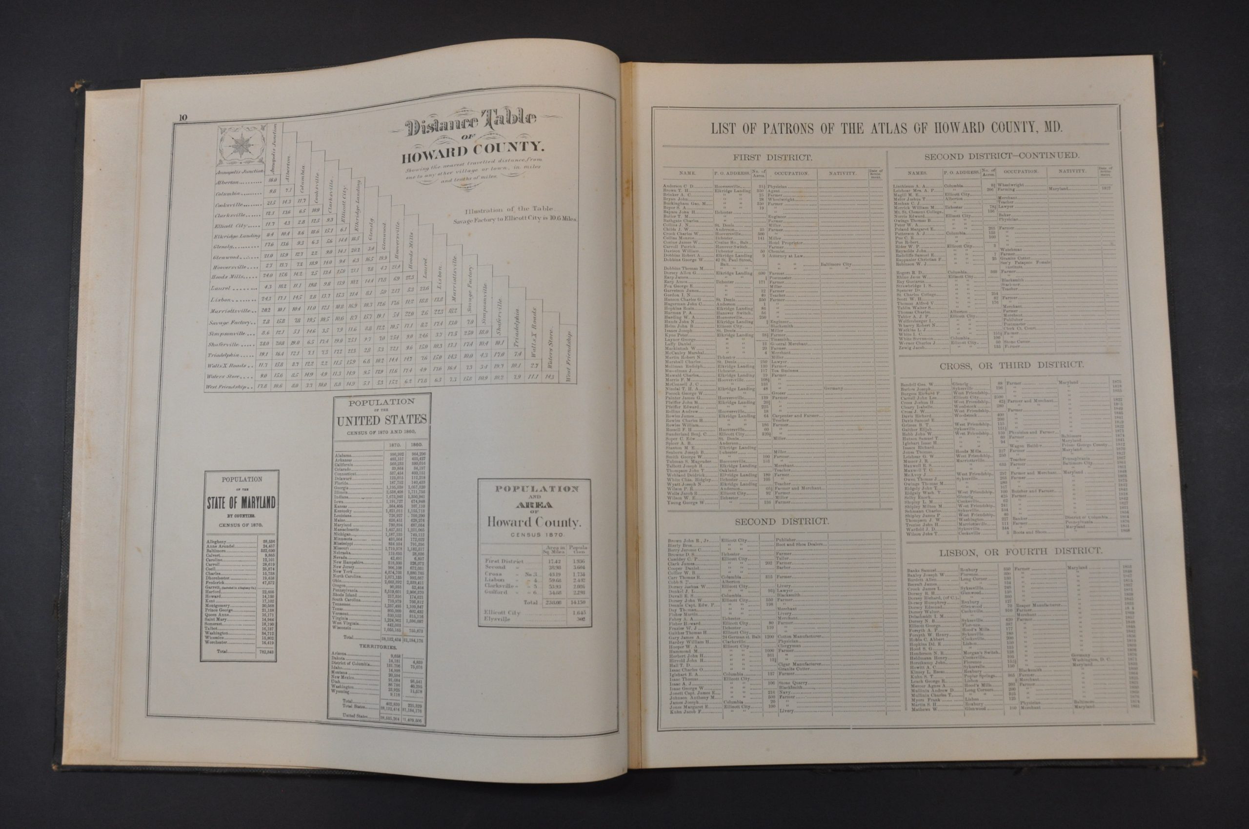
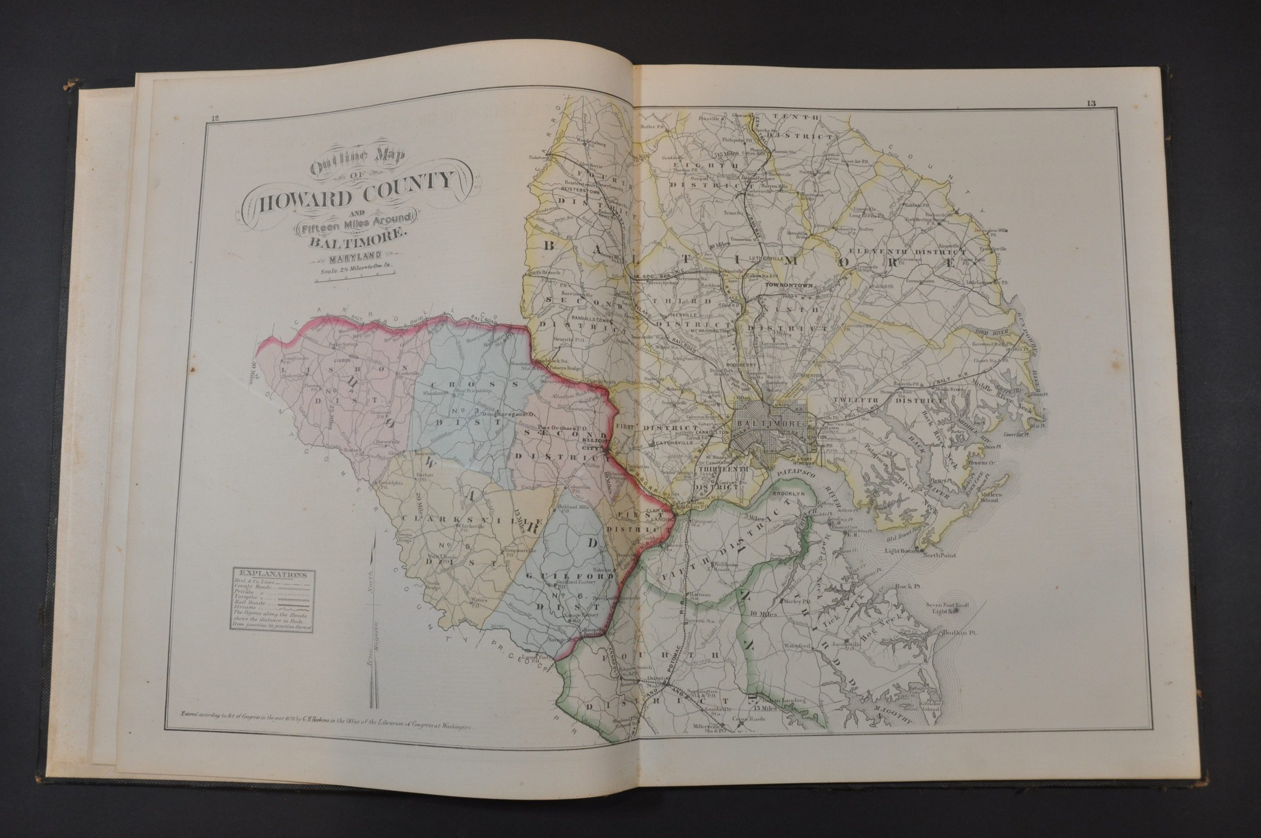
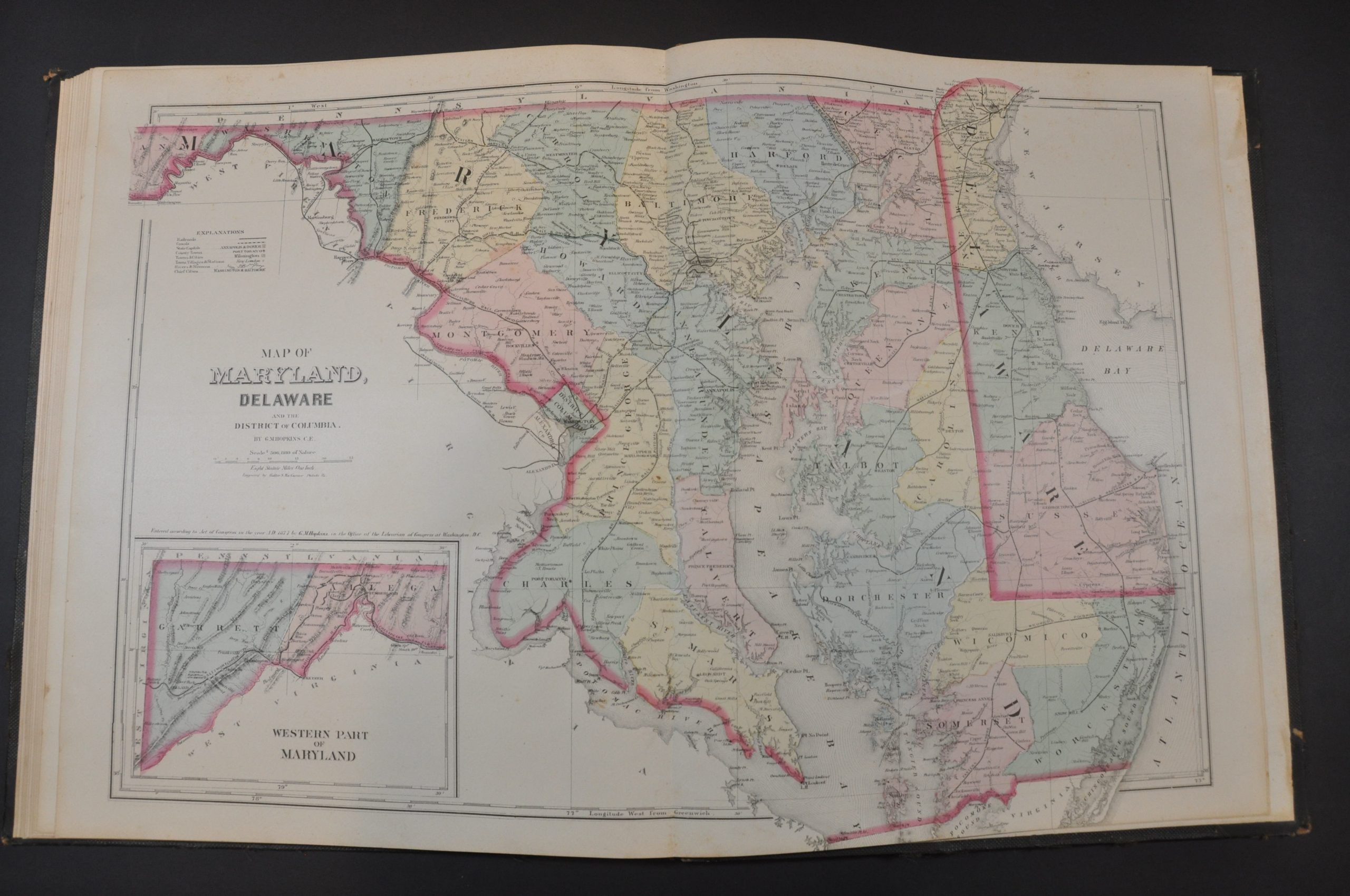
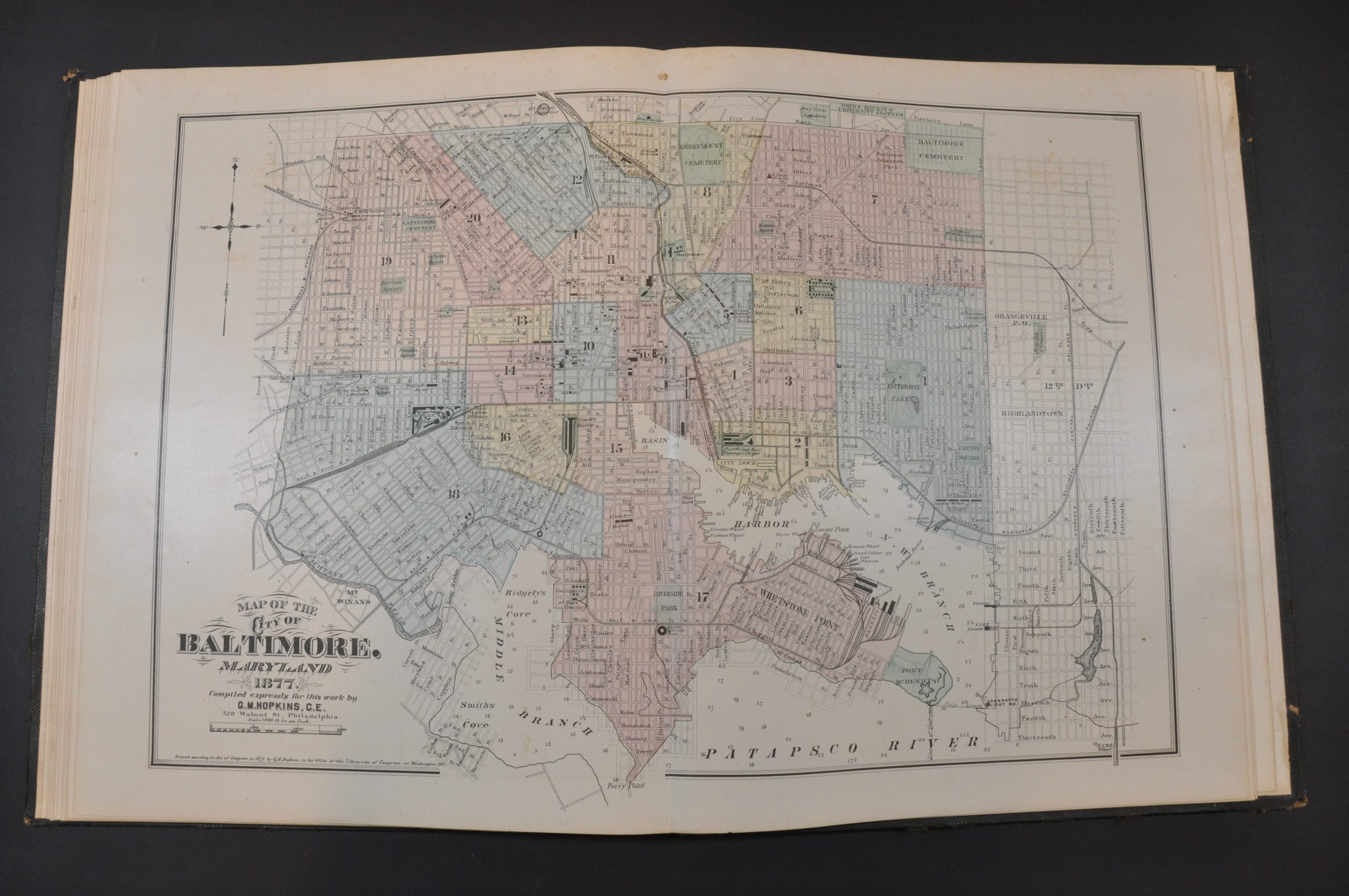
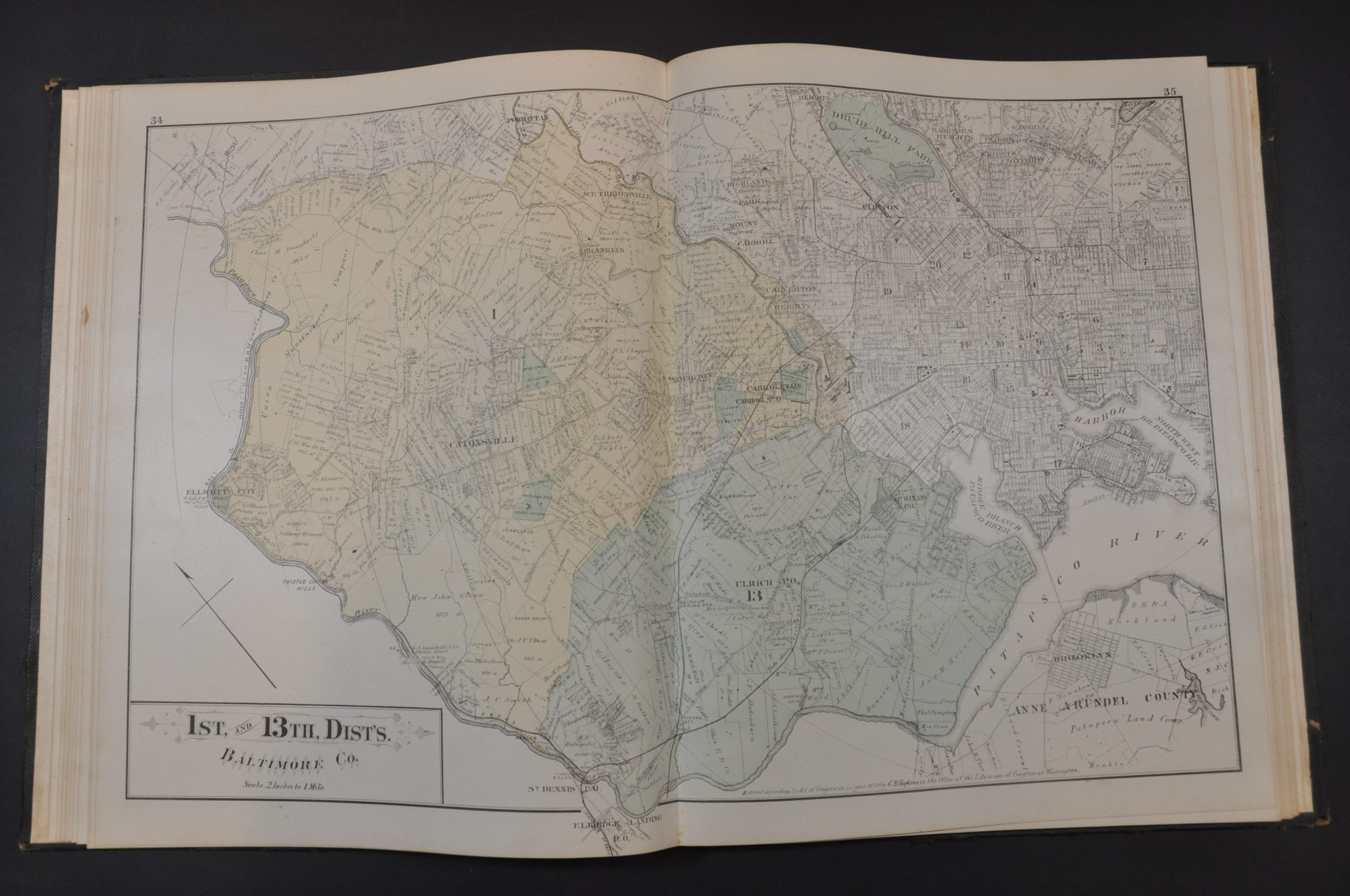
Population statistics and a distance chart are followed by a double-page outline map of the county. Showing ’15 miles around Baltimore’, the image notes transportation routes, settlements, and geographic features. This is followed by a historical sketch of Howard County and 21 double-page and 4 single-page map district maps and city plans. The majority of these provide information on land ownership, property divisions, public areas (parks, cemeteries, etc.), and important buildings. Also included are a city plan of Baltimore, state maps of Maryland and Delaware, a map of America, and maps of the Eastern and Western Hemisphere (all by G.M. Hopkins).
Numerous sheets include business directories and lists of local patrons. This likely refers to the list of residents who ‘subscribed’ to the publication of the atlas by providing funds up-front to defray the costs. This was a common method of publishing county atlases in the late-19th century. For a set fee, subscribers were among the first to receive the finished work and often had the opportunity to pay extra for custom additions. As a result, many examples of county atlases include portraits of individual patrons, views of personal residences and businesses, and even images of prize farm animals!
The maps were designed and engraved by Walter MacCormac and printed by F. Bourquin. Compiled and published in Philadelphia by G.M. Hopkins in 1878.
Map Details
Publication Date: 1878
Author: G.M. Hopkins
Sheet Width (in): 18
Sheet Height (in): 14
Condition: A-
Condition Description: 94 pages bound in original quarter leather with brown cloth. Gilt title and detailing. Covers show some moderate wear but overall the binding is tight and clean. Contents are complete and include 21 double page and 4 single page maps, plus indices and accompanying text. Generally in good to very good condition, with light to moderate scattered spotting, a few closed tears, and minor offsetting visible in a few places.
Out of stock

