Atlas of Bartholomew Co. Indiana
$300.00
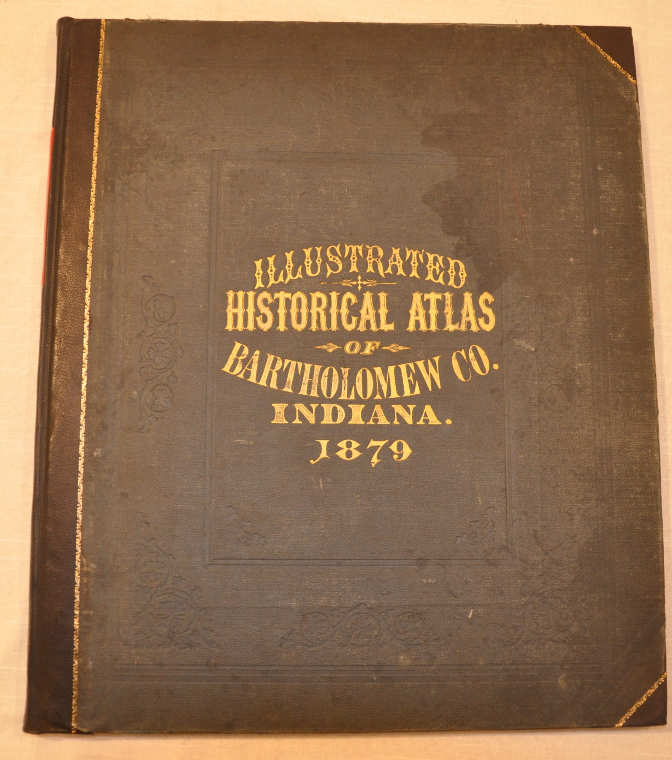
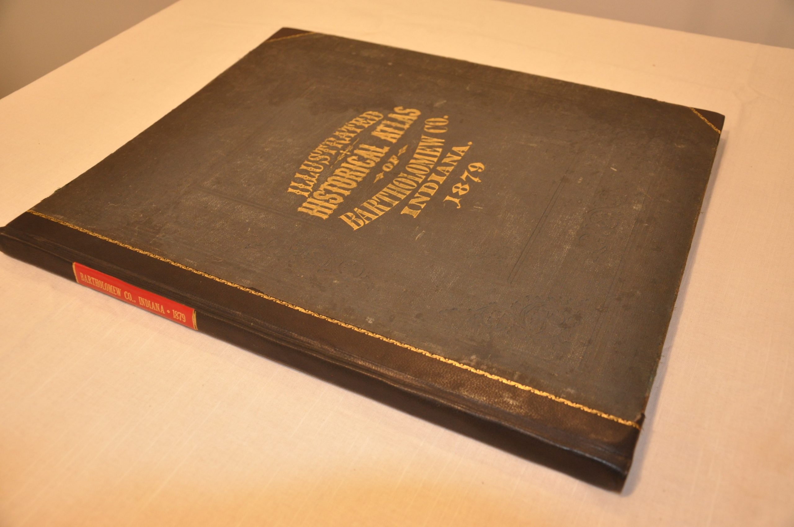
Atlas of Bartholomew County, Indiana published by one of the most prolific creators of county atlases in the United States.


Description
The Chicago firm of J.H. Beers & Co. published numerous state and county atlases in the late 18th and early 19th centuries. Printing and publishing was done in-house, while much of the survey work, writing, and engraving was outsourced to subcontractors to keep overall costs down.
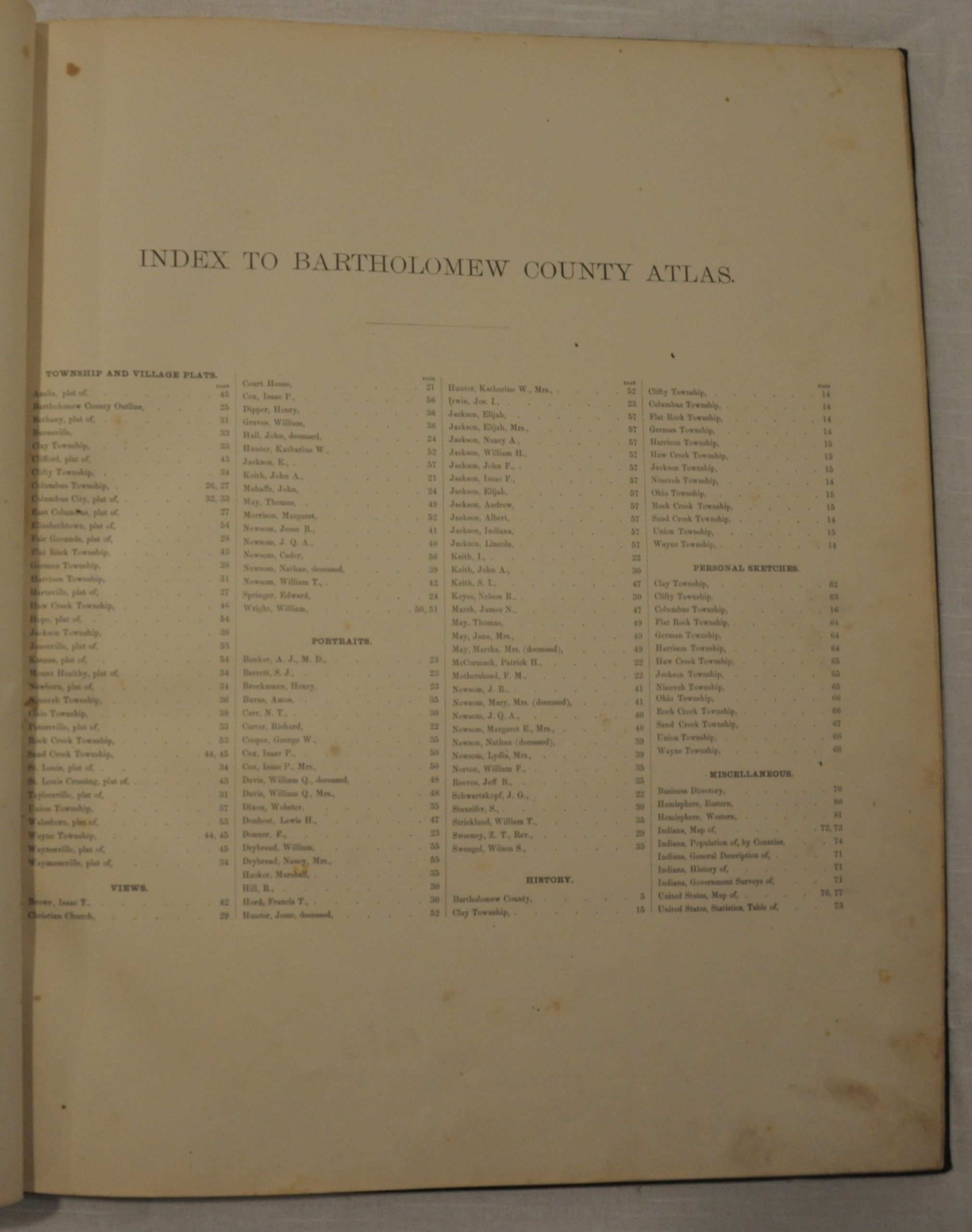
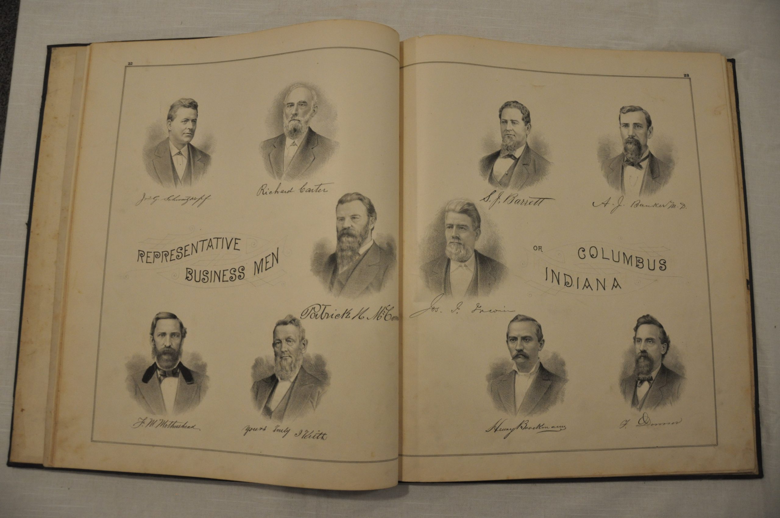
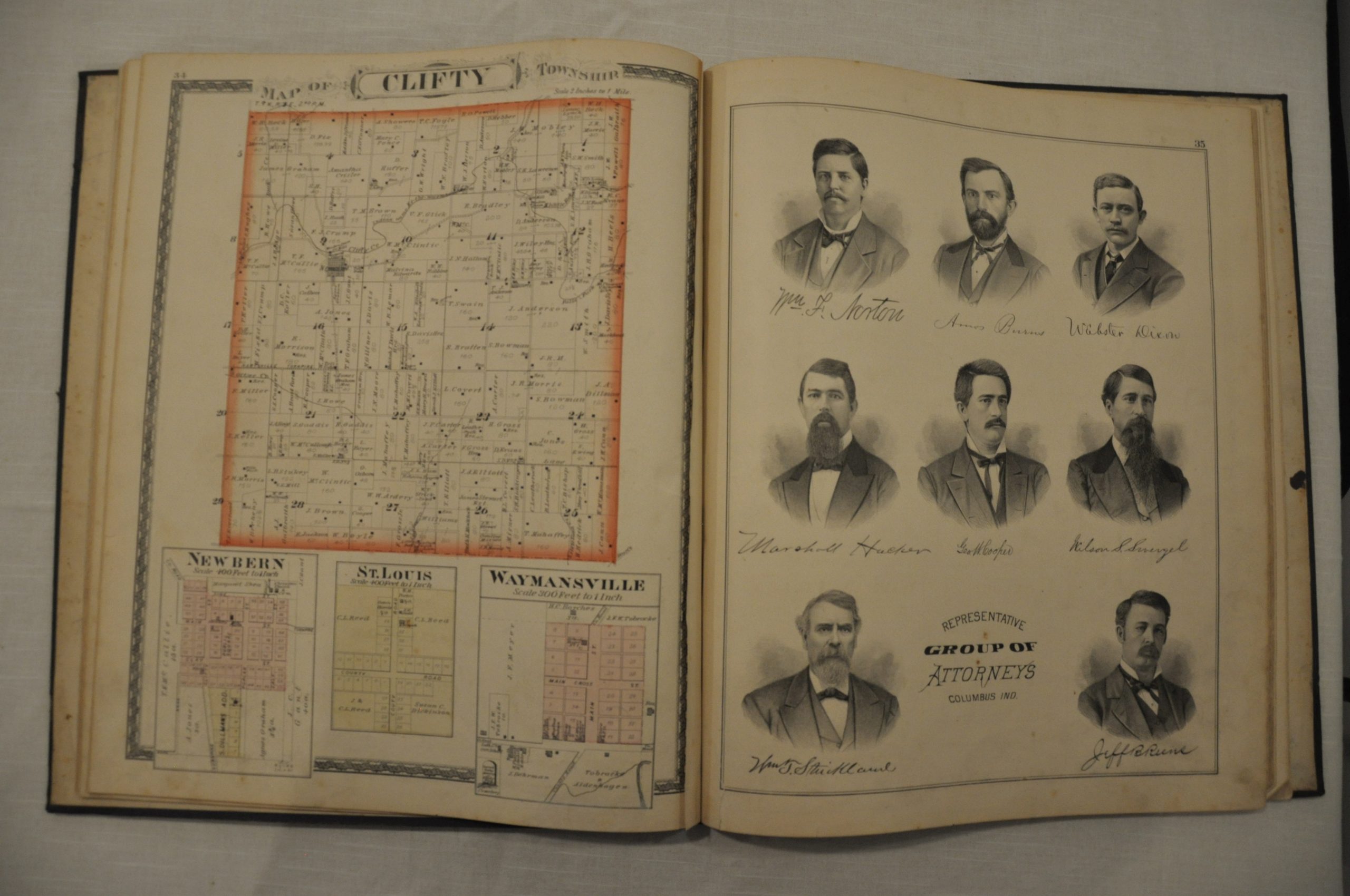
This is a lovely example of the company’s work, showing the township and village plats comprising Bartholomew County, Indiana. Land owners are identified by name, along with the acreage of the plot in question. Also included is an outline map of the county, double sheet city plan of Columbus and numerous engravings of important buildings and prominent businesses.
Map Details
Publication Date: 1879
Author: J.H. Beers & Co.
Sheet Width (in): 14.5
Sheet Height (in): 17.5
Condition: A-
Condition Description: The atlas has been professionally restored and rebound in gilt quarter leather with original cover, endpapers and title page. It is complete - 83 pages with 23 single page and 4 double page lithographed maps with hand color. The pages are in good condition, though a few have moderate soiling and discoloration concentrated primarily along the outer edges. Several pages have tears or chips which have been repaired with archival materials.
$300.00