Atlas Historique des Etats Europeens
Historical geography in the early 19th century.
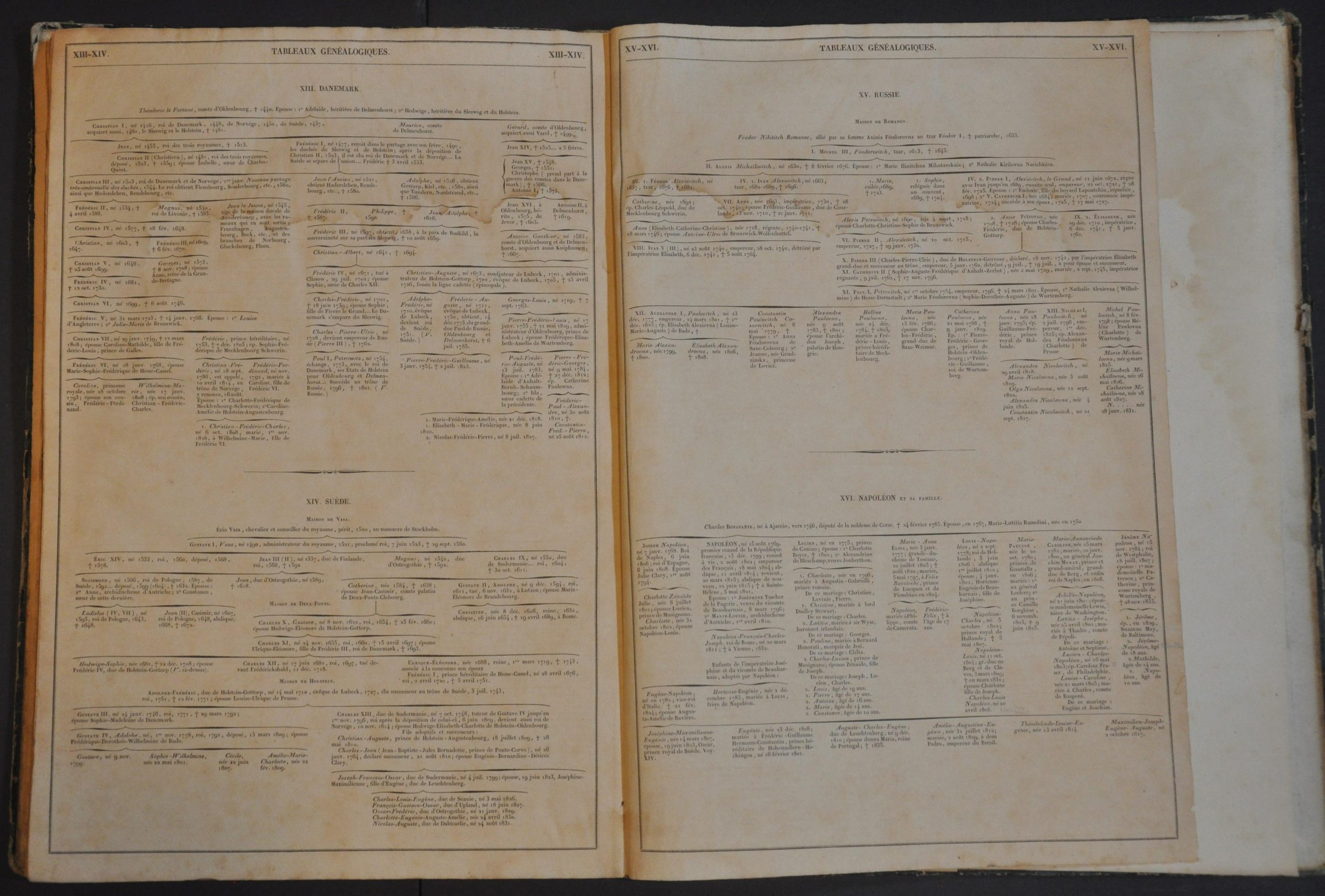
This fascinating historical atlas was published in Paris in 1836 by the important firm of A La Librarie Classique et Elementaire de Hachette. The contents include 18 double-page steel engraved maps, tables of chronological events, family trees, and descriptive text outlining various phases of European geography between approximately 2,000 B.C. and the mid-1830s.
The Roman Empire, Charlemagne’s kingdom, European wars of religion, the Napoleonic era, and the first decades of Pax Britannica are all among the periods explored. On each map, carefully applied toponyms label a variety of settlements, battle sites, ruins, and other locations of interest. Original hand color defines political regions and states that rise and fall over time. The accompanying chronologies and ancestral diagrams also provide a wealth of contextual information about major events and political organization.
The educational volume allows the audience of French geography enthusiasts to better understand and interpret the course of continental history. According to translated text from the title page, the work was designed to “facilitate the reading and understanding of all ancient and modern works relating to the history of Europe.”
Translated by Phillipe Lebas and Felix Ansart from an earlier edition published in Germany in 1834 by Friedrich Karl Hermann Kruse.
Map Details
Publication Date: 1836
Author: Friedrich Karl Hermann Kruse
Sheet Width (in): 15.75
Sheet Height (in): 11.5
Condition: B-
Condition Description: Complete (18 double page maps, 16 genealogy tables, and 39 pages of chronologies) bound in contemporary quarter leather with marbled boards. Both covers have separated and there is a long closed tear across the title page. Damp staining affects the top third of each page, concentrated in the margins and upper right corners of the sheet. Scattered soiling and spotting visible throughout, confined mostly the margins of the fore edge. Maps show moderate offsetting, but each features a nice impression on strong paper. Original outline color throughout. Around fair condition overall.


