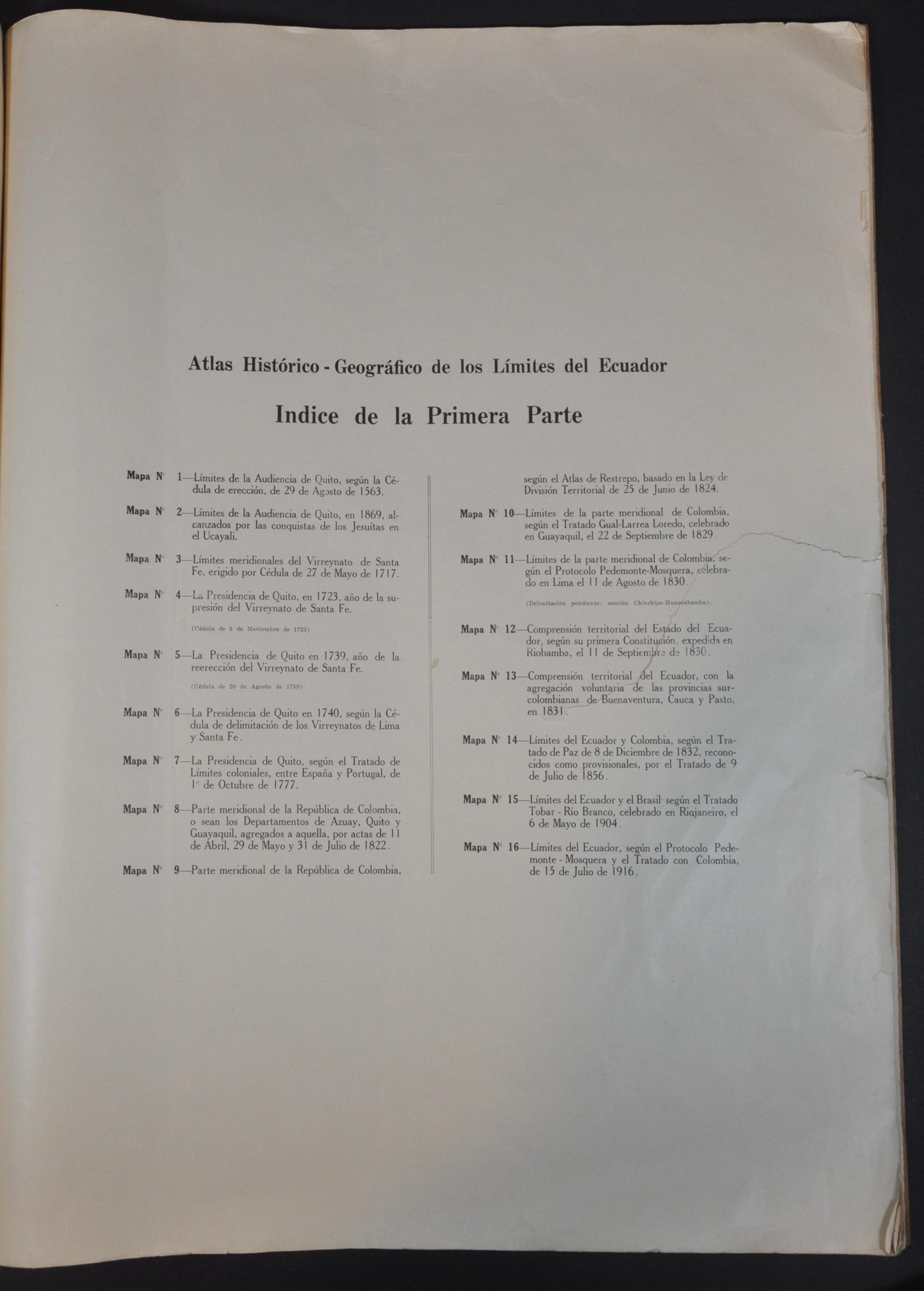
Atlas Historic-Geografico de los Limites del Ecuador
Atlas of Ecuador published under a military junta.
Out of stock

Description
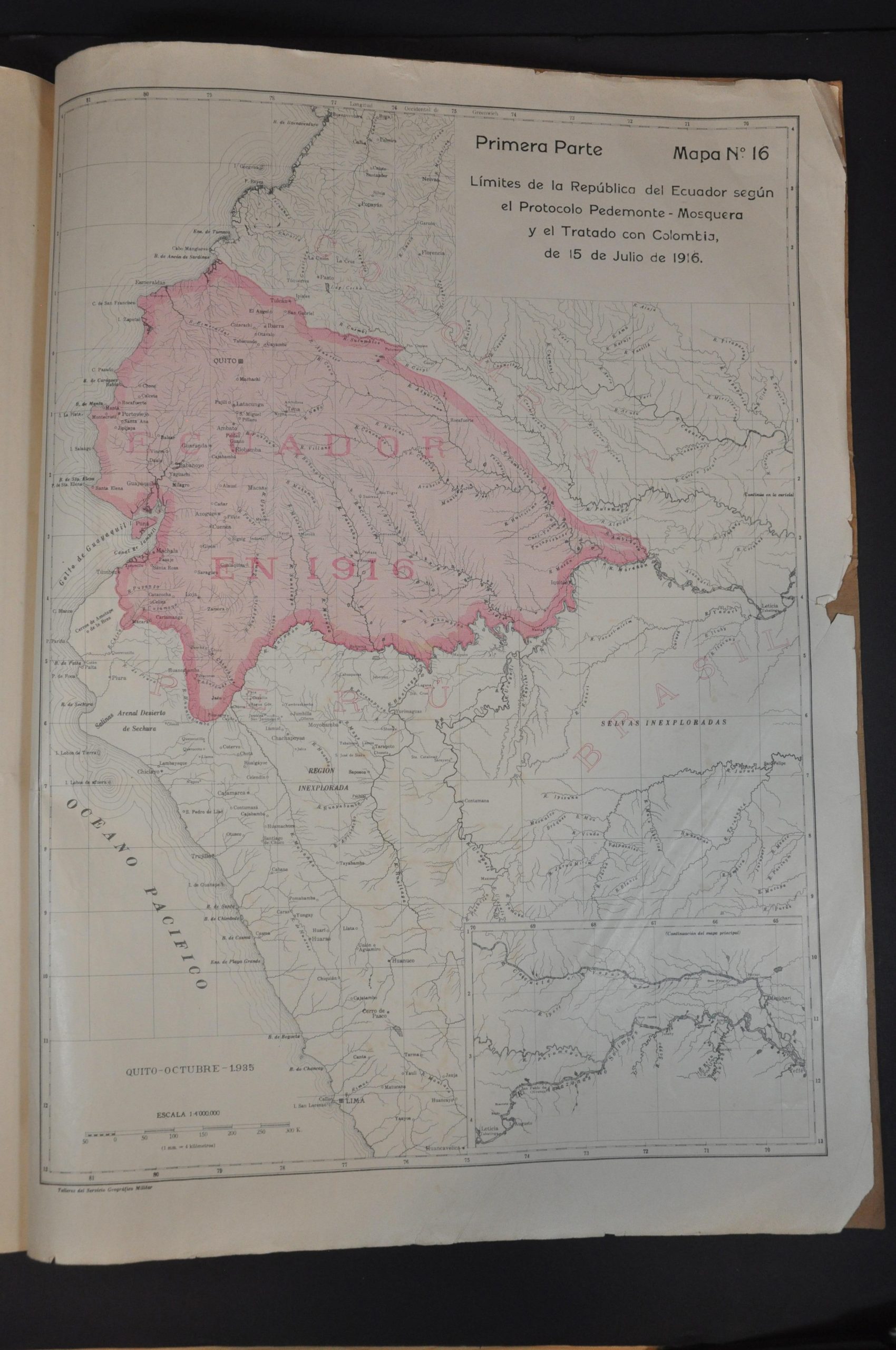
This ‘Historical Geographic Atlas of the Limits of Ecuador’ was compiled by General Luis T. Paz y Mino and published in Quito by the Talleres del Servicio Geografico Militar (Military Geographic Service Workshops) in July of 1936. The year prior, a coup d’etat supported by the military overthrew President José María Velasco Ibarra and installed Federico Páez. The author, Mino (1884-1962), was a historian and geologist but also served in a variety of political roles for the Army and the governments it supported.
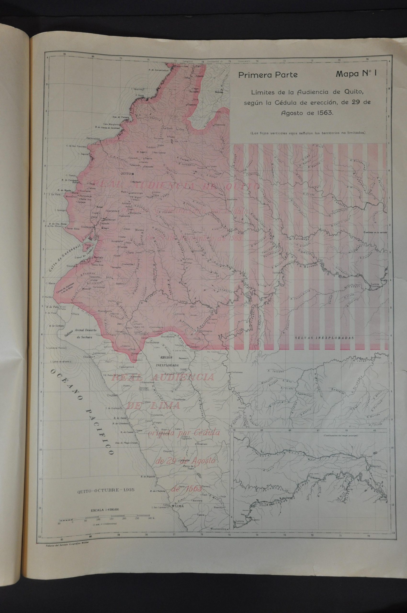
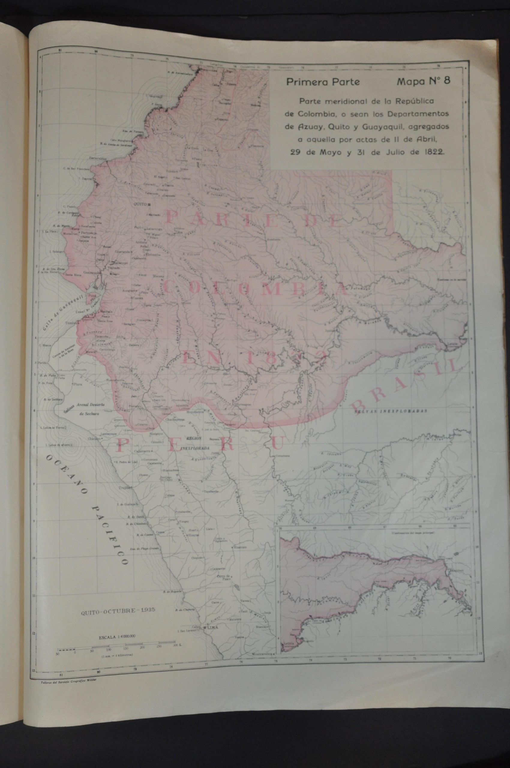
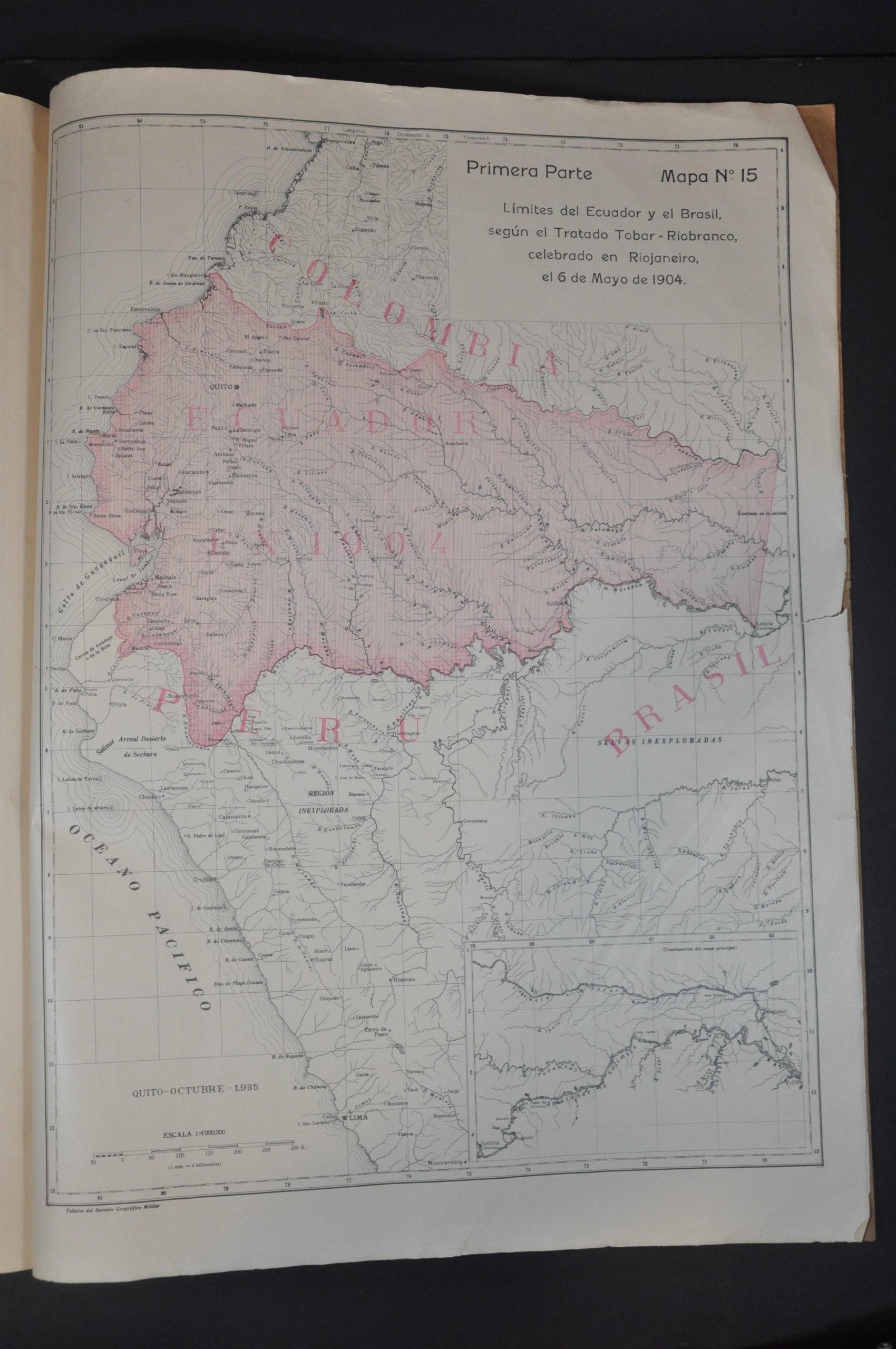
The atlas contains sixteen maps outlining the evolving borders of Ecuador and its predecessor states, beginning with the limits of the Audiencia of Quito in 1563. As only the first part, it concludes with the national limits as established by a treaty with Columbia in 1916.
The volume was likely issued in conjunction with the Ulloa-Viteri Accord, signed in July 1936 with between Ecuador and Peru that established a ‘status quo’ line for the international border. Further violence over the disputed territory would erupt just a few years after publication, with the Ecuadorian–Peruvian War of 1941.
Map Details
Publication Date: 1936
Author: General Luis T. Paz y Mino
Sheet Width (in): 15.1
Sheet Height (in): 21.1
Condition: B
Condition Description: First part (primera parte) only. Title page, index, + 16 color maps bound in original stiff paper wraps. Covers and contents are toned and brittle with age, with moderate wear along the fore edge resulting in several tears and a few chips (the image is not affected). Two large tears on the first two sheets have been repaired on the verso with archival tape. About good condition overall.
Out of stock