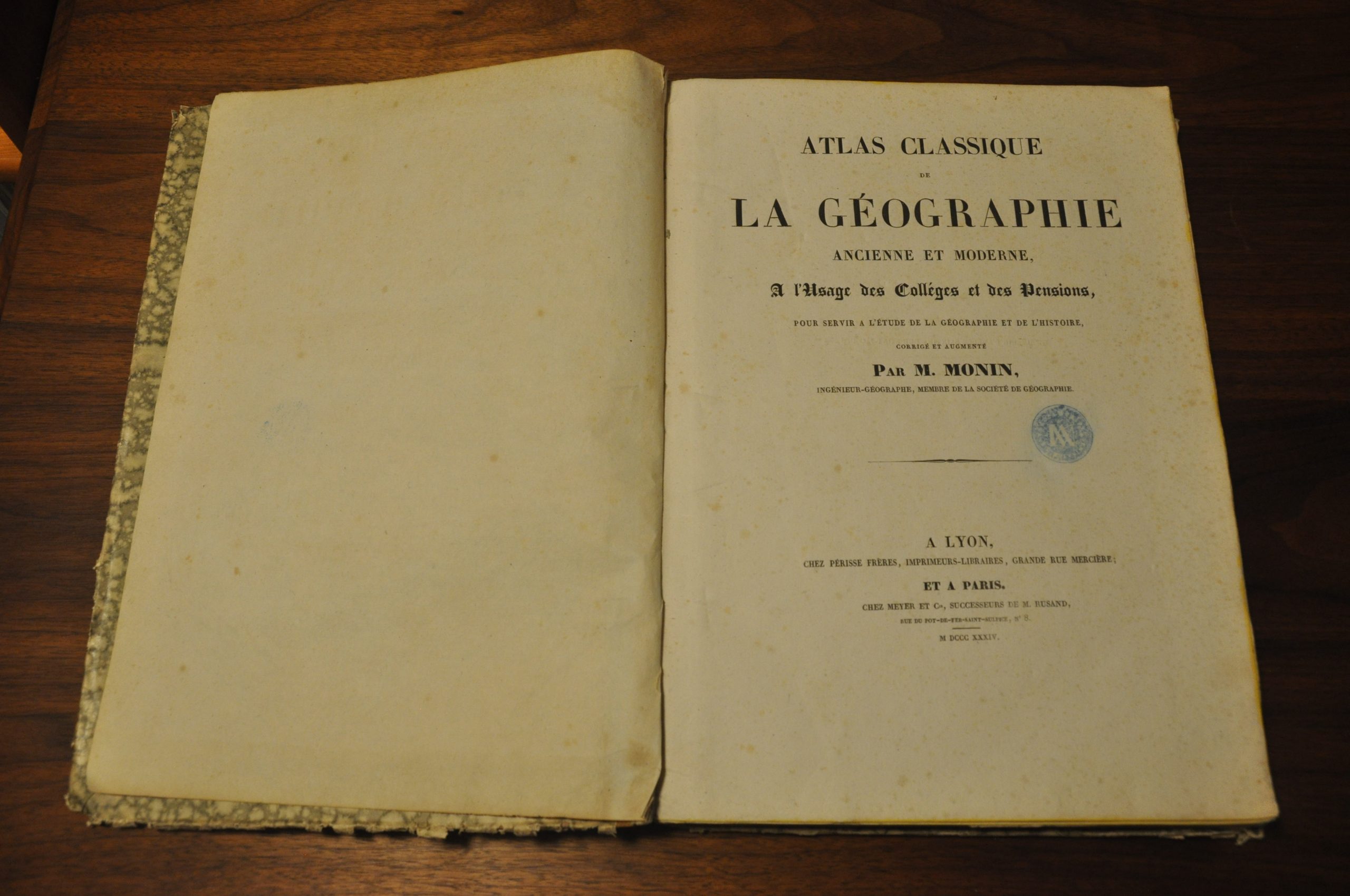
Atlas Classique de La Geographie Ancienne et Moderne
$475.00
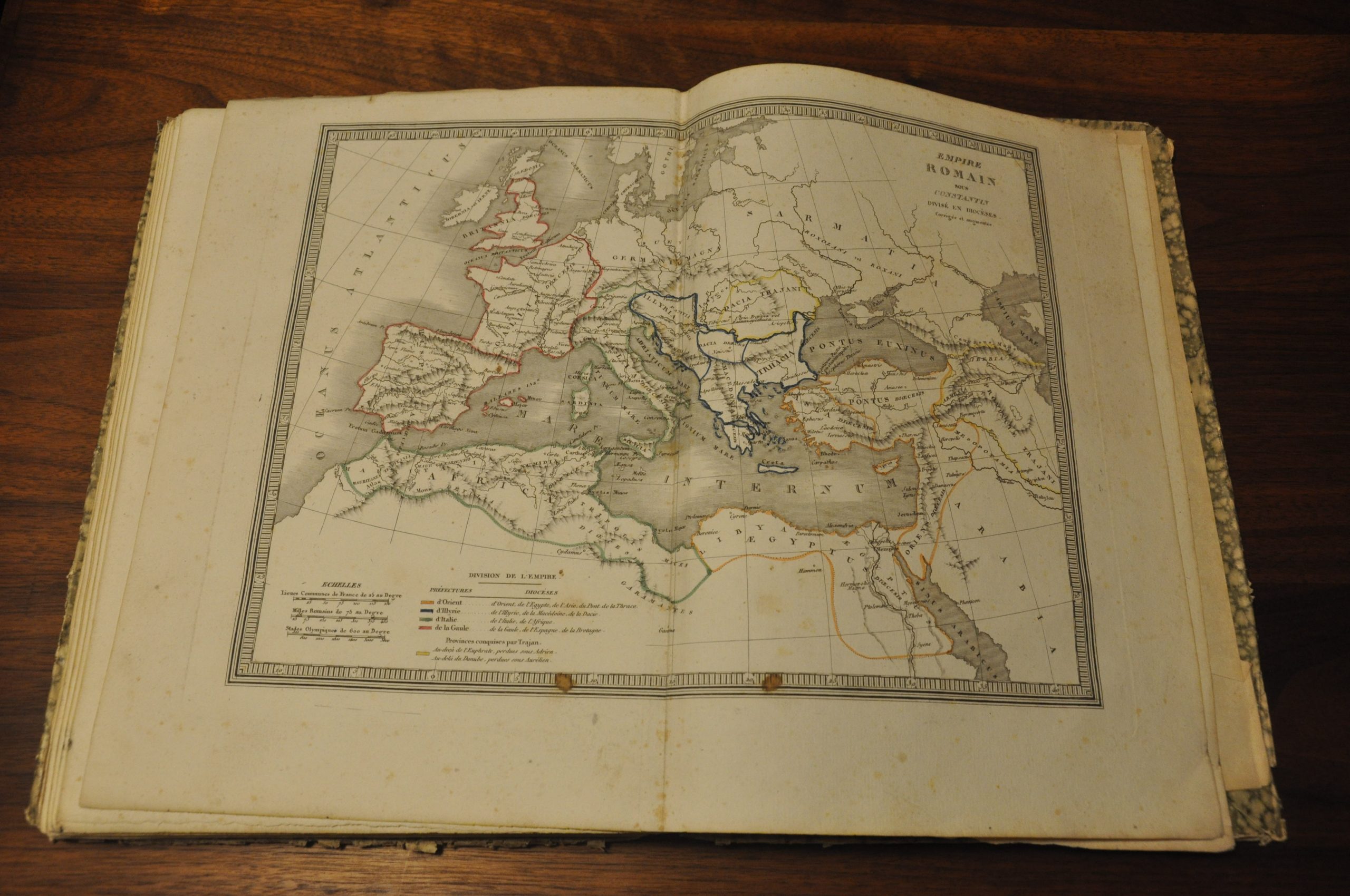
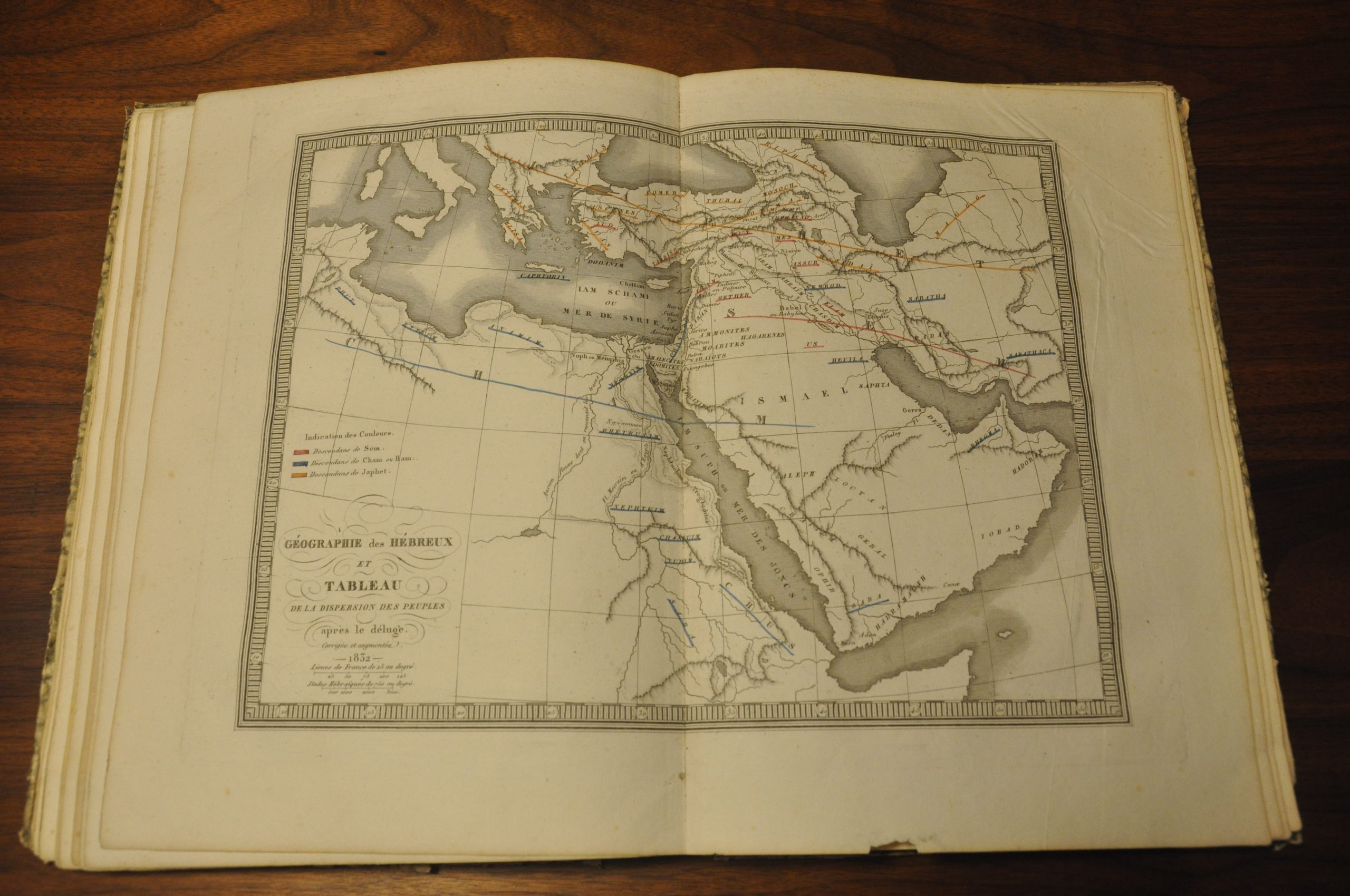
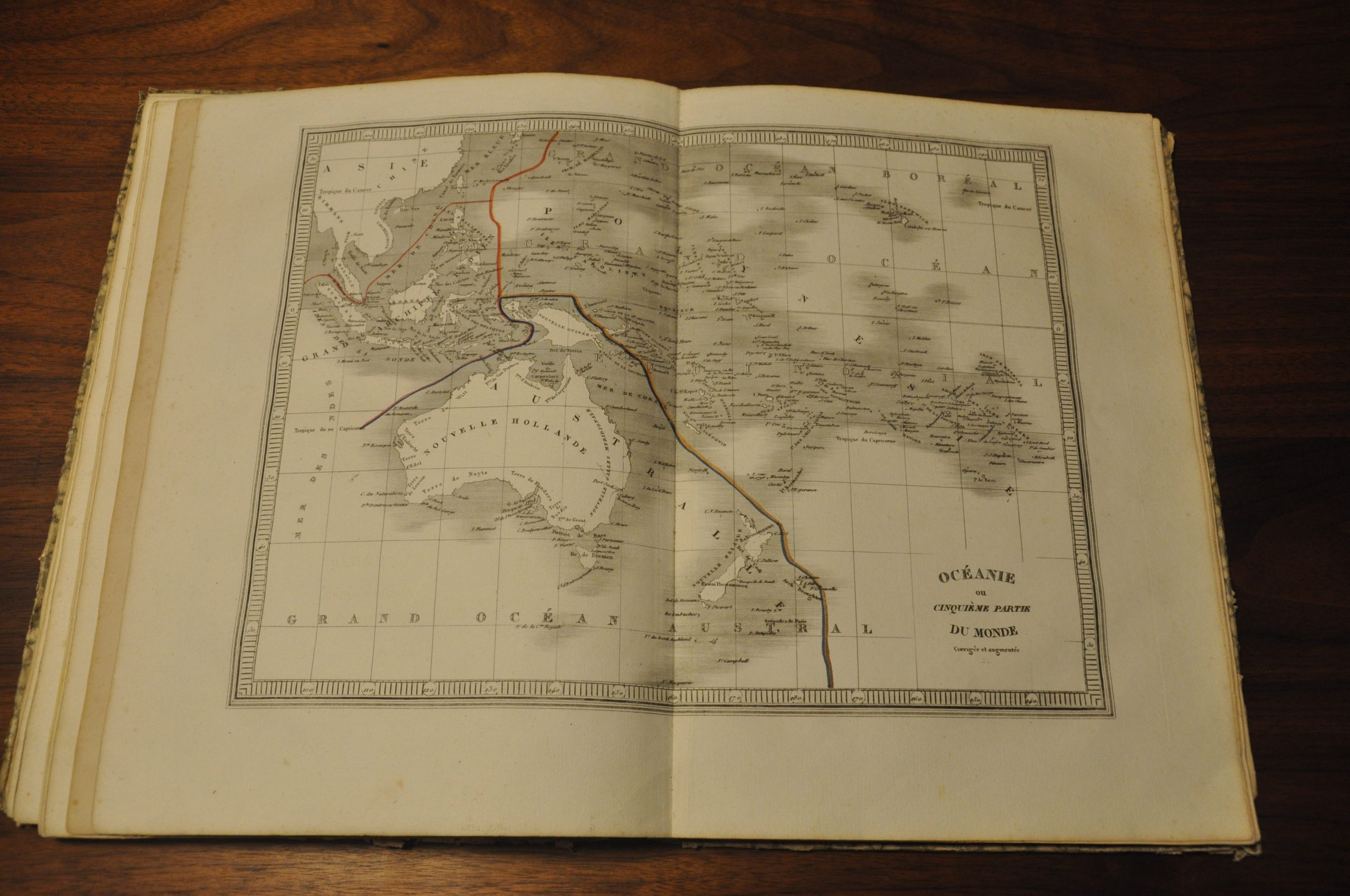
Charming French atlas containing 36 maps of the modern and ancient world.
1 in stock
Description
This terrific atlas was published in Lyon in 1834 by Perisee Freres and contains 36 steel engraved maps by the French cartographer Charles V. Monin. This is one of several editions Monin issued throughout the 1830’s, the earliest I can find being in 1832.
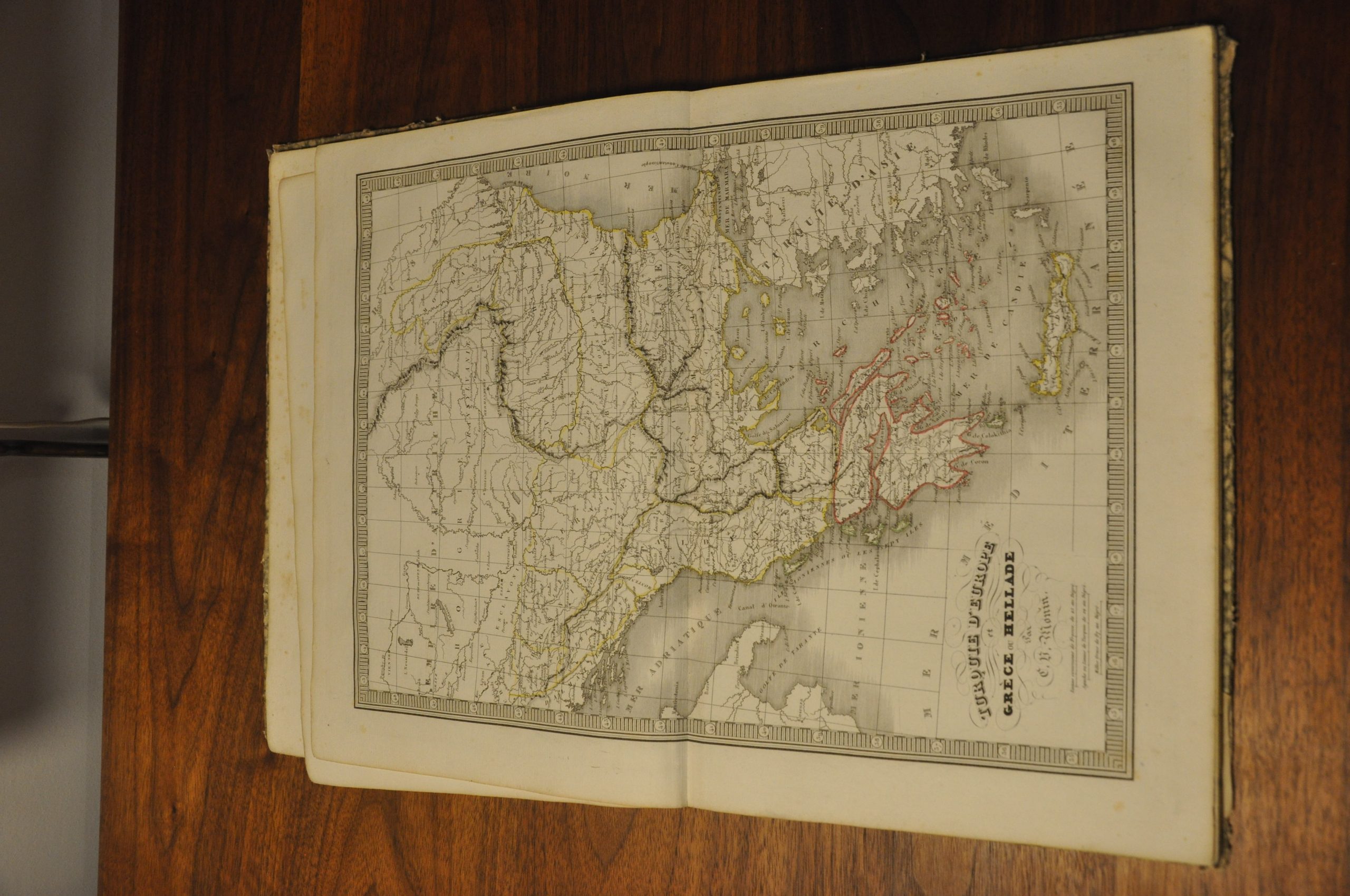
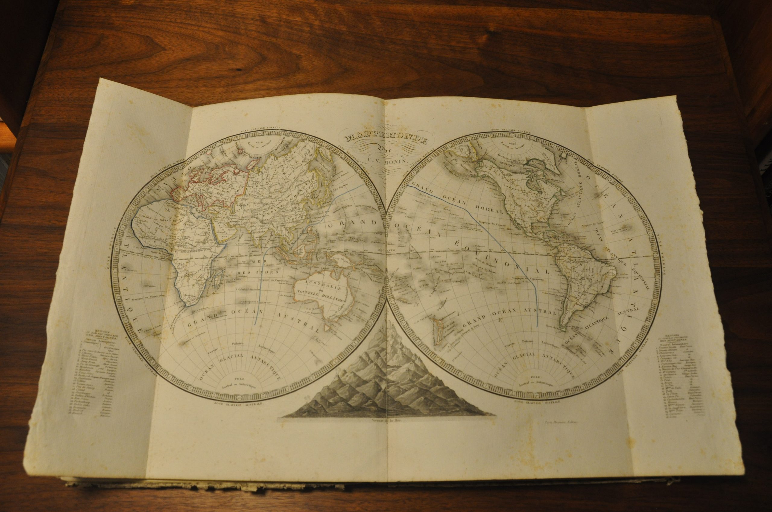
Ranging in breadth from the entire solar system to the individual European countries and vast ancient empires, the enclosed maps provide a fascinating contemporary overview of mid-19th century geographic and historic knowledge. The latest explorations, colonization efforts, and territorial exchanges can be tracked on maps with dates ranging from 1832 to 1834, all of which feature original outline color.
Of particular note is the map of Greece, showing the newly independent nation established in 1830, two maps of France showing the political changes resulting from the Revolution, and the map of North America showing extended American claims in the Pacific Northwest as part of the ongoing Oregon boundary dispute.
Map Details
Publication Date: 1834
Author: Charles Monin
Sheet Width (in): 13.00
Sheet Height (in): 9.25
Condition: B
Condition Description: Bound in original boards with marbled paper covers. Hinges are loose and endpaper are missing. Complete - 36 double page maps, 22 modern (including a fold out world map) and 14 ancient. Minor to moderate scattered foxing visible on a handful of maps and the title page, but overall the maps are clean and bright, with original outline color. The last five maps have a pair of small dark spots near the bottom of the sheet. A few sheets have toned from age - Holland & Belgium, Russia in Europe, and South America.
$475.00
1 in stock


