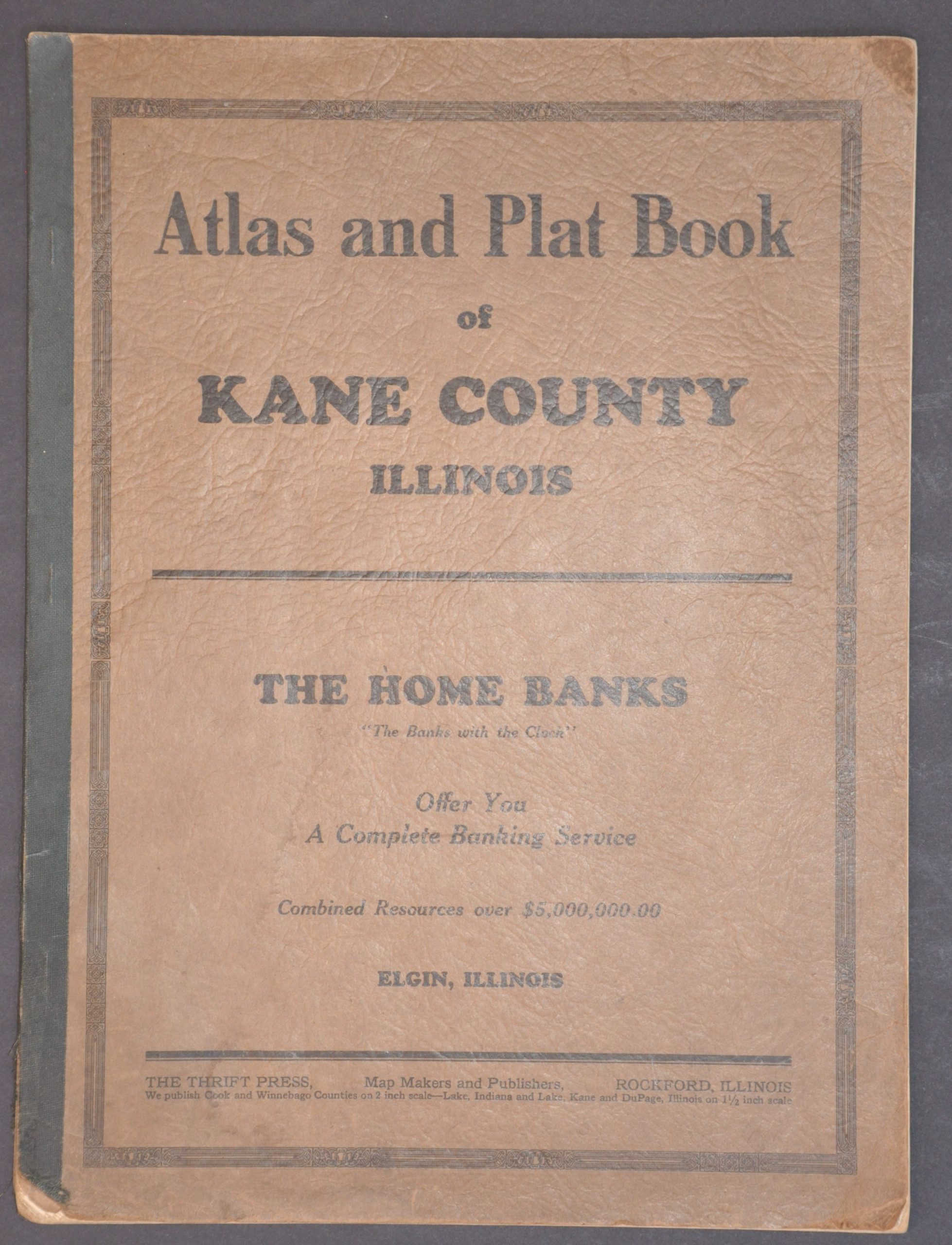
Atlas and Plat Book of Kane County, Illinois
$250.00
Prohibition-era atlas of Kane County, Illinois.
1 in stock

Description
This uncommon atlas of Kane County, Illinois, was copyrighted and published in 1927 by the Thrift Press of Rockford, Illinois. At the time, Prohibition (1920 – 1933) was in full effect and the area around Chicago was notorious for its criminal activity – especially bootlegging.
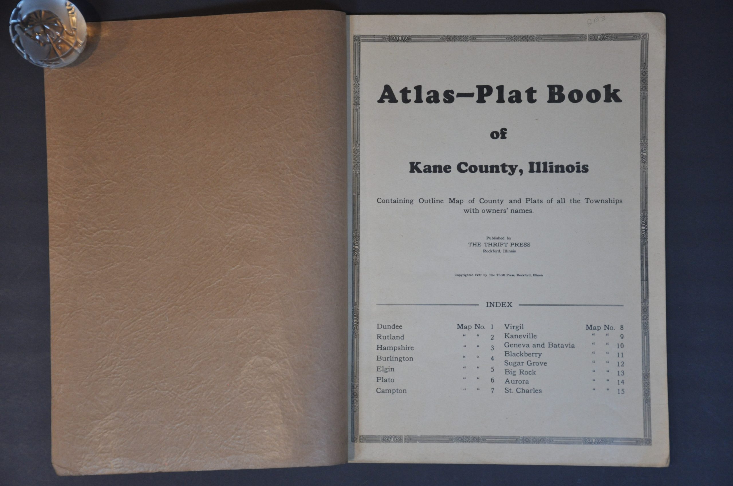
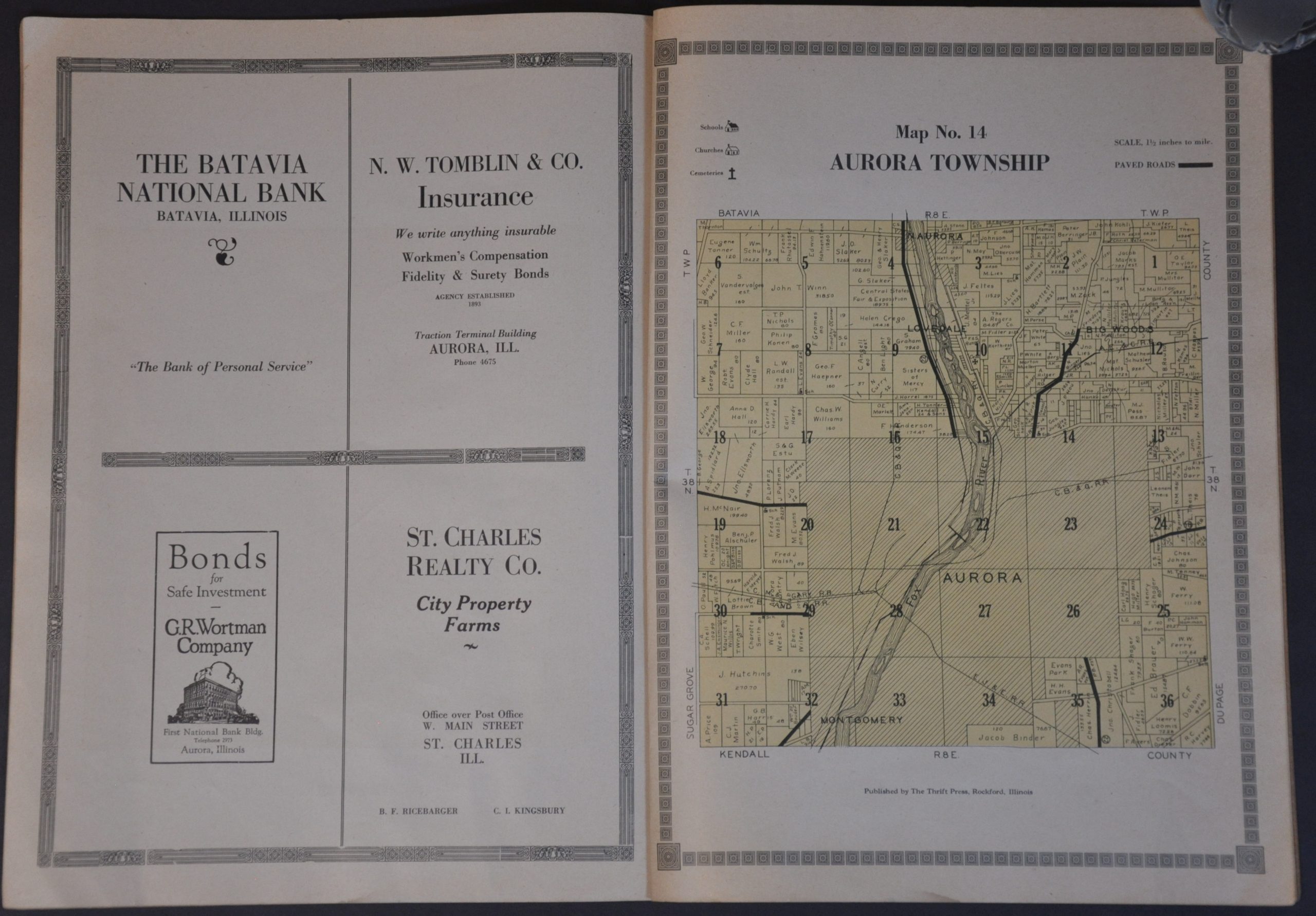
A folding index map is followed by plat maps of each township. Each page, drawn to a scale of 1 1/2″ = 1 mile, outlines properties and names their respective owners. These include individuals (including many farmers), title companies, schools, forest preserves, religious institutions, cemeteries, and more. Paved roads, convenient avenues for rumrunners operating in the area, are boldly shown.
Thrift Press was one of several local publishers operating in Rockford during the 1920s. Their output focused on ‘County, City, and Road Maps, Special Subdivisions and Property Maps, and Sales Booklets and Circulars’, according to text on the front cover. The works are uncommon on the market and in institutional collections.
Map Details
Publication Date: 1927
Author: The Thrift Press
Sheet Width (in): 11.25
Sheet Height (in): 15.00
Condition: A-
Condition Description: Fifteen single page color-lithographed maps, plus a title page and fold-out county map on thinner paper. All bound with staples in original stiff brown wraps, moderately worn. Contents show creased corners and marginal toning consistent with age, but overall in very good condition.
$250.00
1 in stock