Atlas Accompanying Volume III on Mining Industry
Maps of the mining industry in California and Nevada, published as part of an enormous federal survey.
Out of stock
Description
The Geological Exploration of the Fortieth Parallel was a monumental survey first established by Congress in 1867 to explore the western antebellum United States. Field world on the Fortieth Parallel Survey was conducted between that year and 1872 under Clarence King. The results were published in 8 volumes and two supplemental atlases. This example was issued to accompany Volume III, which included information on the mining industry in California, Nevada and Wyoming.
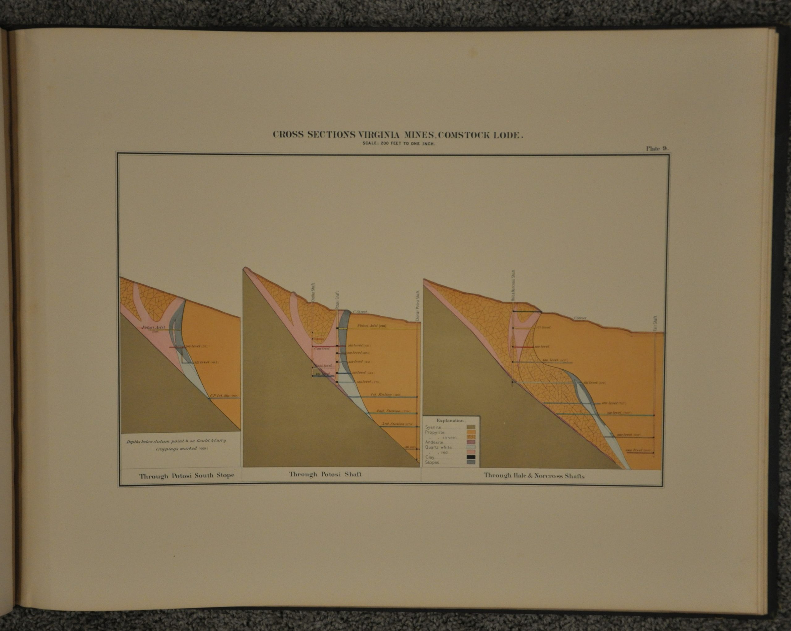
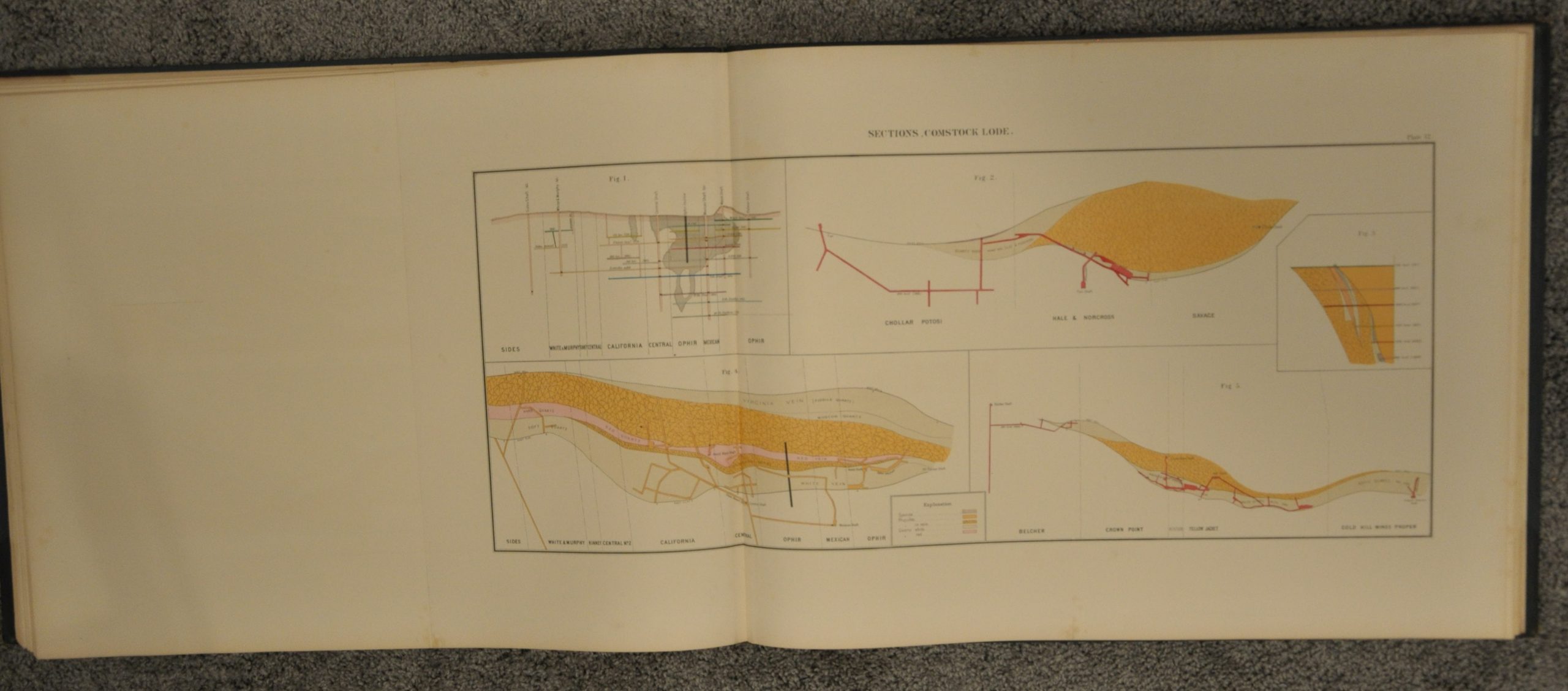
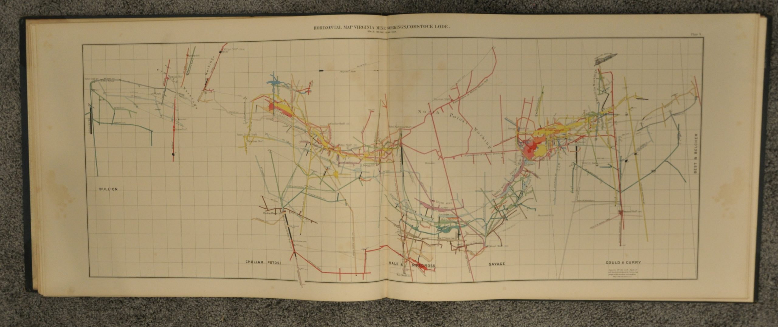
The 14 color plates provide a general map of the western mining district, geologic maps, cross sections, and horizontal diagrams of mine organization and ownership. Areas covered include the Comstock Lode, the White Pine Mining District, the Washoe Mining District, and the Toyabe Mountains. In 1879, Congress consolidated the numerous surveys undertaken by King and others and created the United States Geological Survey, with King as its first director.
Map Details
Publication Date: c. 1875
Author: Clarence King
Sheet Width (in): 25
Sheet Height (in): 19.25
Condition: B+
Condition Description: Good to very good condition. Bound in original green morocco and cloth boards with gilt title. Spine and corners are rubbed. Endpapers and title page show moderate foxing and offsetting, but the maps are in very good condition. Minor soiling and faint spotting confined primarily to the margins on a few, but most are near fine. Complete, with 14 with steel engraved maps in beautiful hand color.
Out of stock


