Atlantic Coast Line
$125.00
Maps and timetables of the Atlantic Coast Line railway system.
1 in stock
Description
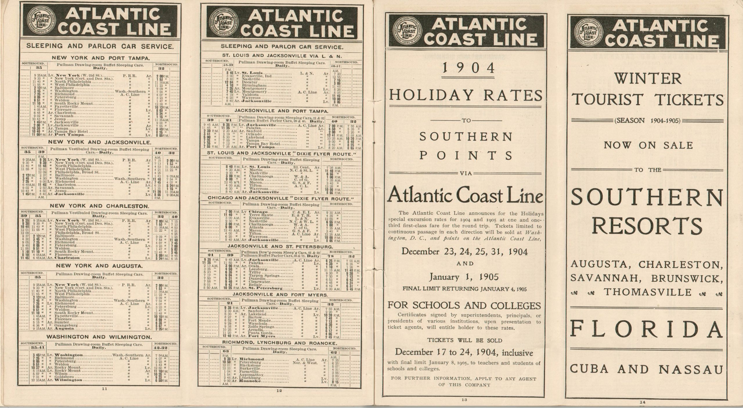
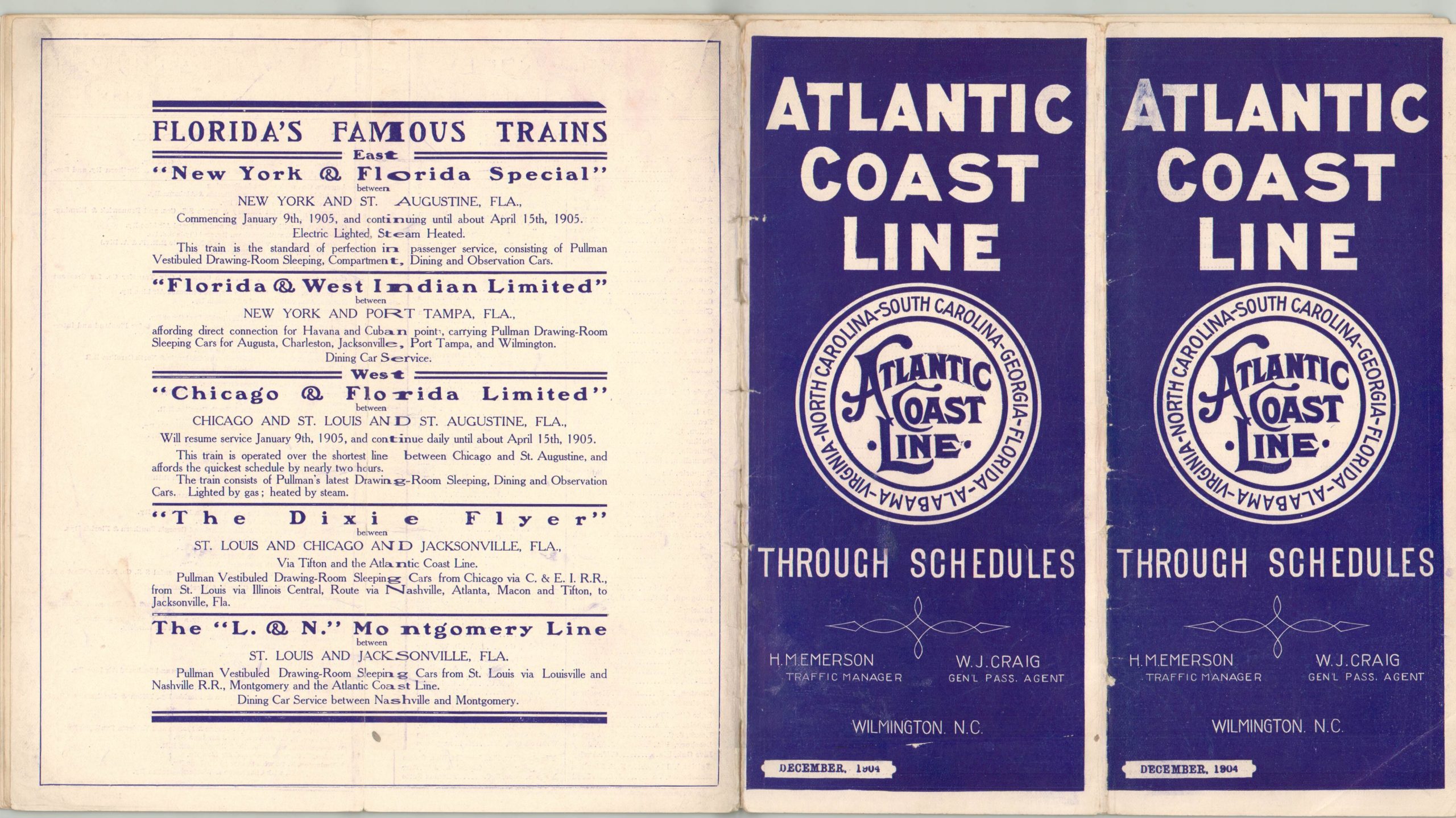
This early 20th century brochure shows the network (and connections) in operation for the newly formed Atlantic Coast Line Railroad. It was organized in 1900 to serve the southern Atlantic seaboard, and ran lines between southern Virginia and Florida. Time tables of various trains are provided on the majority of the pages, but passenger information, a company directory, and a rate list are also provided.
The brochure includes two centerfold maps. The first, designed by the Matthews-Northrup Works in Buffalo, shows the entire network of the Atlantic Coast Line and it’s various connections across the eastern half of the United States and portions of the Caribbean and Central America. The second map, created by Poole Brothers of Chicago, focuses on the lines in operation across Florida.
The brochure was published in December of 1904 in New York by Amsterdam Press.
Map Details
Publication Date: 1904
Author: Amsterdam Press
Sheet Width (in): 16.00
Sheet Height (in):
Condition: B+
Condition Description: 10 pp. brochure, folded over twice with stapled binding and original pictorial covers. The wrappers are slightly worn, especially along the spine, and there is some slight tearing along the staples. Includes two centerfold maps. Good to very good overall.
$125.00
1 in stock


