
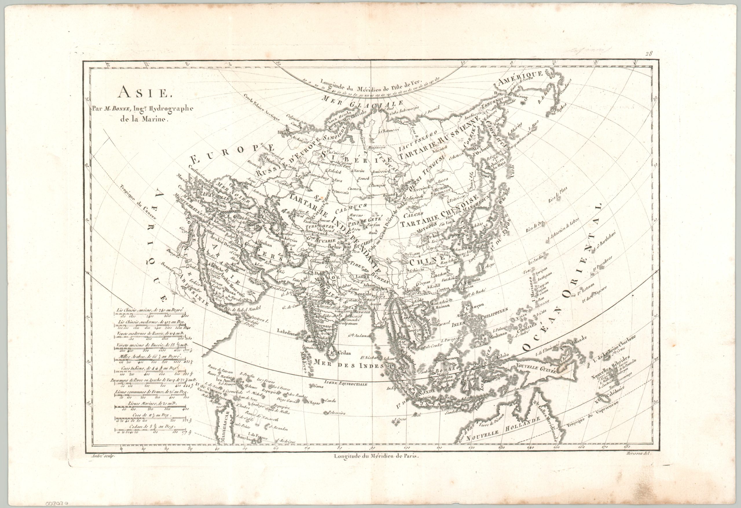
Asie par M. Bonne
$85.00
European colonial ambitions in Asia during the late 18th century.
1 in stock
Description
This interesting antique map of Asia was created by the French cartographer Rigobert Bonne and published around 1787. It presents a European understanding of continental geography and political composition at the end of the 18th century. Kingdoms, important cities, and notable geographic features are labeled throughout the image. The Silk Road can be loosely followed through ancient stopovers like Kashgar, Samarkand, Herat, Isfahan, and Damascus. A lesser-known trade route, the Siberian Route, follows Irkutsk to Moscow. More contemporary commercial interests are reflected in ports like Canton, Manila, Batavia, and Calcutta.
Map Details
Publication Date: c. 1787
Author: Rigobert Bonne
Sheet Width (in): 17.1
Sheet Height (in): 11.75
Condition: A-
Condition Description: Copperplate engraved map on a strong sheet of watermarked paper. Moderate soiling and some ink smudging visible in the margins and along the plateline. A bit of light scattered spotting within the image, but overall in good to very good condition.
$85.00
1 in stock