
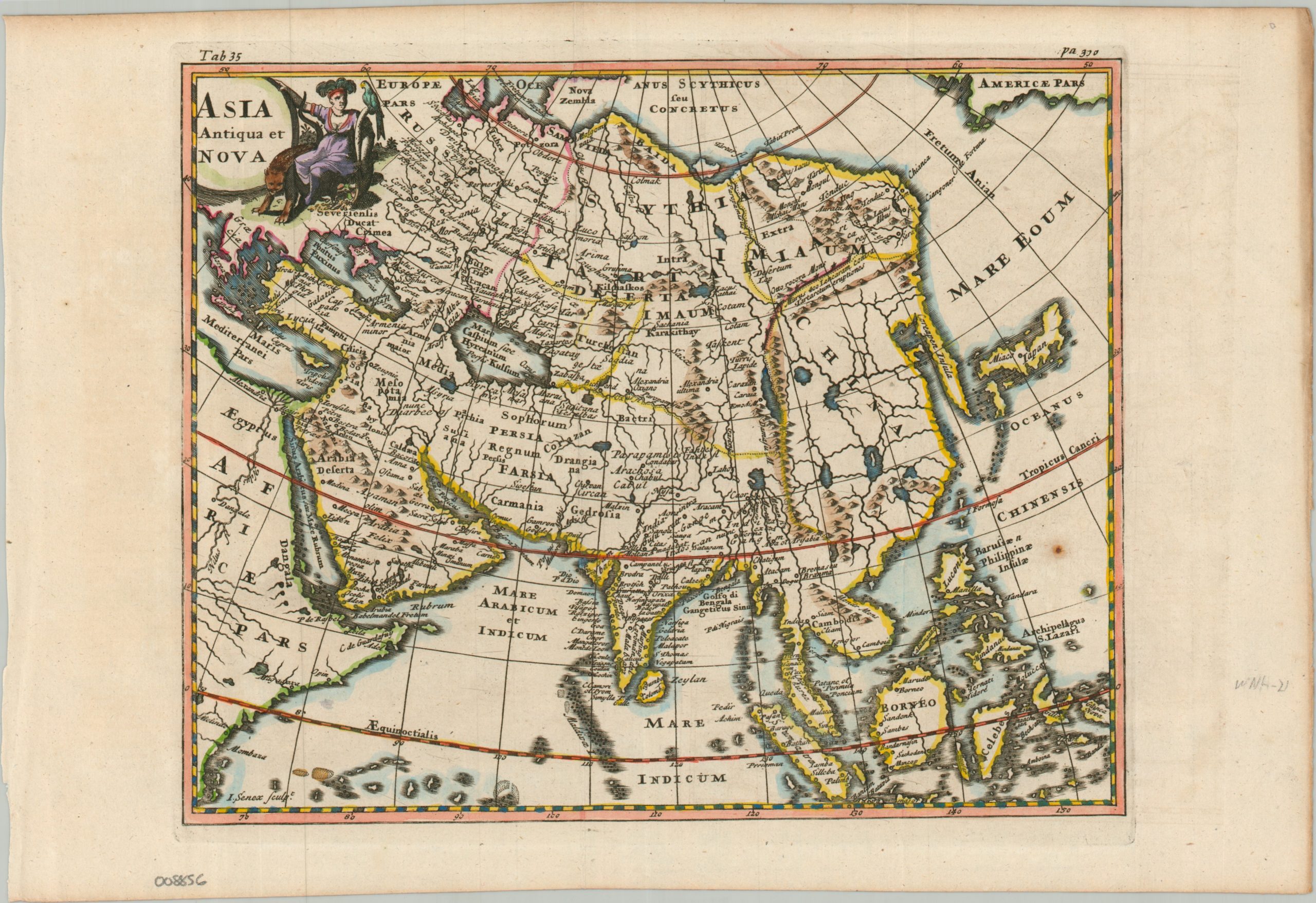
Asia Antiqua et Nova
$85.00
An interesting Antiqua map of Asia from the early 18th century.
1 in stock
Description
This fascinating synthesis of Classical and “modern” geography was issued as part of the 1711 edition of Philip Cluver’s Introductio in Universam Geographiam, published in London by John Nicholson. Cluver’s (sometimes Latinized as Cluverius) groundbreaking work was first issued in the 1620s without maps, but its immense commercial popularity and usefulness as an academic reference ensured a long shelf life, with over 40 different editions published across more than a century.
The charming map, engraved by the prominent English cartographer John Senex, provides a legible and comprehensible overview of the continent of Asia and portions of East Africa and the North Pacific. Latin toponyms identify a variety of historic kingdoms, settlements (both ancient and contemporary), and physical geographic features. Of particular interest is the depiction of Japan, the recognition of the Great Wall of China, an incomplete coastline of Nova Zemla, and ongoing colonial efforts across Indonesia. The decorative title cartouche features a strangely dressed individual with a feathered headdress and exotic animals – perhaps more at home in the New World.
Map Details
Publication Date: 1711
Author: Philip Cluver/John Senex
Sheet Width (in): 13.60
Sheet Height (in): 9.10
Condition: A-
Condition Description: Copperplate engraved map heighted with attractive modern hand color on laid paper (somewhat thin). Minor toning in the margins, some darkening from the plate strike, one small spot of foxing in the lower right, and faint creasing along original folds. Very good condition overall.
$85.00
1 in stock