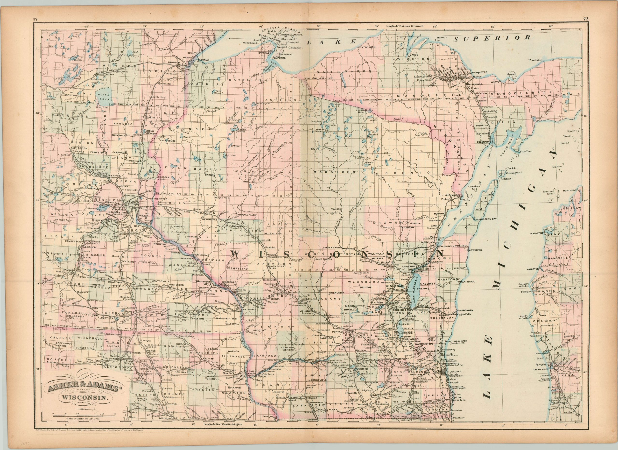
Asher & Adams’ Wisconsin
$110.00
Post Civil War railroad map of Wisconsin with attractive hand color.
1 in stock
Description
Railroads are the evident emphasis on this map of Wisconsin, published in 1872 by Asher & Adams. The iron rails can be seen spreading across the region; concentrated heavily near the Twin Cities of Minnesota, in Michigan’s upper peninsula, and throughout southeastern Wisconsin. Each line is individually labeled and includes distances between each stop.
Settlements that are not located on a railroad are scarce, reflecting the importance of accessibility to markets for local Midwestern economies. Elsewhere, the map shows counties colored by hand and labels post offices, geographic features, and survey lines.
Map Details
Publication Date: 1872
Author: Asher and Adams
Sheet Width (in): 24.10
Sheet Height (in): 17.60
Condition: B+
Condition Description: The outer margins are moderately toned and show a few small tears, none of which enter the image. Minor discoloration along the vertical centerfold, but overall in very good shape.
$110.00
1 in stock

