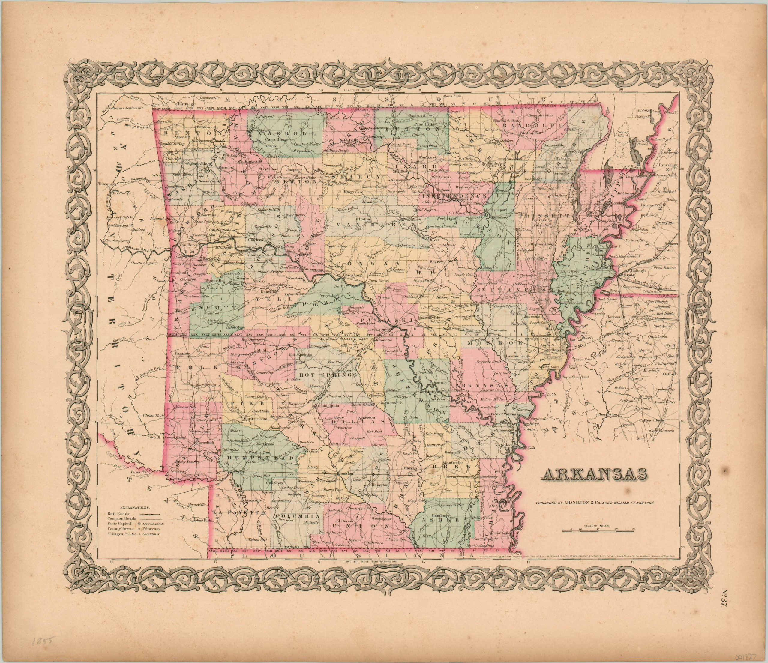
Arkansas
Colton’s detailed map of Arkansas from the mid-19th century.
Out of stock
Description
This interesting map of Arkansas was published in New York by J.H. Colton & Co. in 1855. The river after which the state is named can be seen bisecting the image and meeting with the mighty Mississippi in the east. Other transportation routes in the form of roads and several proposed railroads are also shown, though the first rails would not be laid until three years after publication. Completed lines can be seen across the state line in Memphis.
Lovely hand color distinguishes between different counties, and labeled geographic features provide a charming appeal. The map is enclosed within Colton’s distinctive decorative border.
Map Details
Publication Date: 1855
Author: J.H. Colton
Sheet Width (in): 18.25
Sheet Height (in): 15.60
Condition: B+
Condition Description: The sheet is moderately toned and has a few spots of foxing in the lower right corner. Remains in very good condition, with original hand color.
Out of stock