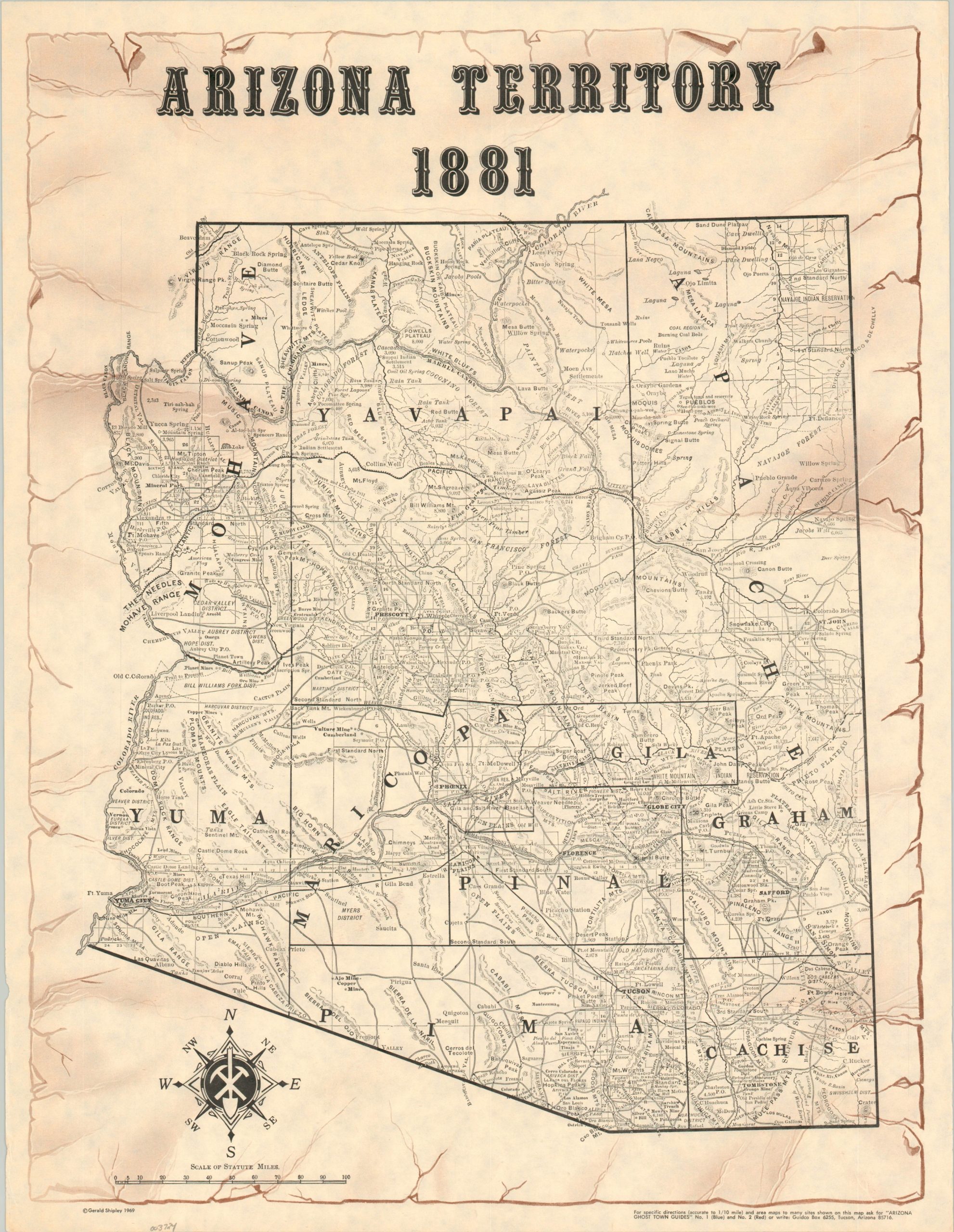
Arizona Territory 1881
Old Arizona.
Out of stock
Description
This ‘Wild West’ map shows the political organization and geographic information of the Arizona Territory as of 1881. Settlements, transportation routes, and county outlines are prominently noted throughout the image, though the emphasis is on the less tangible elements that comprise the region’s cultural identity. Ghost towns, lost treasure, post offices, and ranches are all noted, while the overall aesthetic of the page harkens to the era of cowboys and prospectors. Designed by Gerald Shipley in 1969.
Map Details
Publication Date: 1969
Author: Gerald Shipley
Sheet Width (in): 16.75
Sheet Height (in): 21.75
Condition: A
Condition Description: Lightly wrinkled from where previously rolled and faint wear along the outer edges of the sheet. Near fine.
Out of stock

