
Arctic Regions
Mapping the search for Sir John Franklin’s lost expedition.
Out of stock
Description
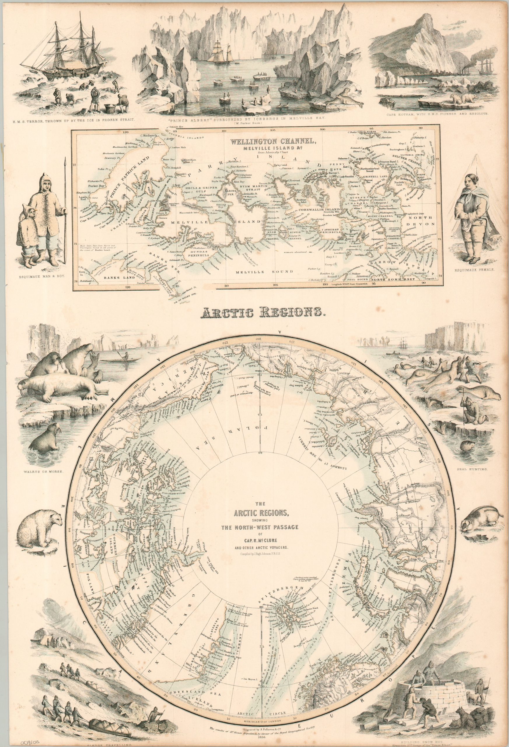
This marvelous visualization of the state of Arctic exploration in the mid-19th century was compiled by J. Hugh Johnson, F.R.G.S., and engraved and published by A. Fullarton & Co. of London. The engaging composition of maps and vignettes celebrates the ongoing search for both the fabled Northwest Passage and the mysterious fate of Sir John Franklin and his crew. The upper map shows the Wellington Channel, a key feature in the search for Franklin and a potential route into the high Arctic. Immediately below is a polar projection of the Arctic highlighting the Northwest Passage discovered by Captain Robert McClure during his command of HMS Investigator.
Surrounding illustrations emphasize the exotic and challenging nature of Arctic life, depicting Inuit clothing styles, seal hunting, igloo construction, and dramatic views featuring ships including the Terror, Prince Albert, and Pioneer. The sledding scene at lower left likely evokes one of the defining features of 19th-century Arctic exploration: when Investigator became trapped in the ice at Mercy Bay for nearly three years, McClure and his crew ultimately abandoned the vessel and escaped across the frozen Arctic by sledge, eventually reaching the crews of the Resolute and Intrepid.
Map Details
Publication Date: c. 1856
Author: J. Hugh Johnson
Sheet Width (in): 12.60
Sheet Height (in): 18.60
Condition: B
Condition Description: Tinted lithographed sheet with somewhat narrow margins, moderately toned. Several small spots of foxing throughout, concentrated in the lower center and upper right. Good condition overall.
Out of stock