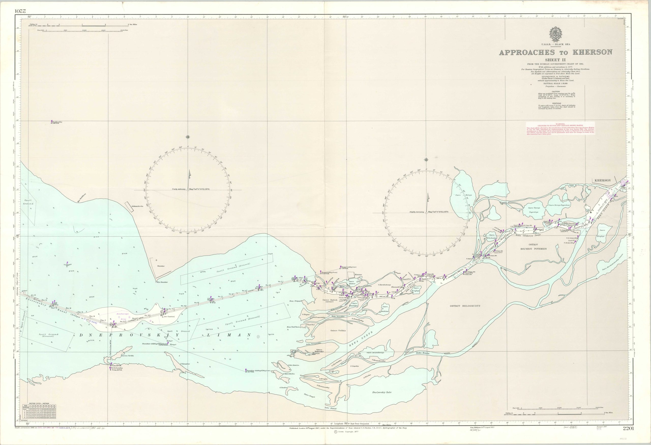
Approaches to Kherson Sheet II
$85.00
Maritime approaches to Kherson from the Black Sea.
1 in stock
Description
This detailed nautical chart showing the mouth of the Dnieper River and the Ukrainian city of Kherson was first published in London in 1967 by the United Kingdom Hydrographic Office under the direction of Rear Admiral George Stephen Ritchie, using a map created by the Soviet government in 1964. According to text in the lower left, updates were made through 1995, indicating the image had a 30+ year lifespan. Apparently, the need for exacting minutiae on up-to-date charts was not necessary for the British Navy, at least in this part of the world!
The map presents sailing information from the central channel of the Dniprovs’ka Gulf up the Dnieper River to the outskirts of Kherson. Depth soundings, navigational signals, and major landmarks are noted. As a major port and shipbuilding facility with easy access to the Black Sea, the city played an important role in the Soviet economy.
Map Details
Publication Date: 1995
Author: United Kingdom Hydrographic Office
Sheet Width (in): 40.9
Sheet Height (in): 28
Condition: B+
Condition Description: Creased along old fold lines and moderate wear visible along the outer edges of the sheet, including several small tears and discoloration (mostly confined to the margins). Some spotting in the upper left corner and faint wrinkling throughout. Good to very good overall.
$85.00
1 in stock

