
Analysis of the System of United States Land Surveys
A 19th century explanation of how the U.S. was officially organized and surveyed.
Out of stock

Description
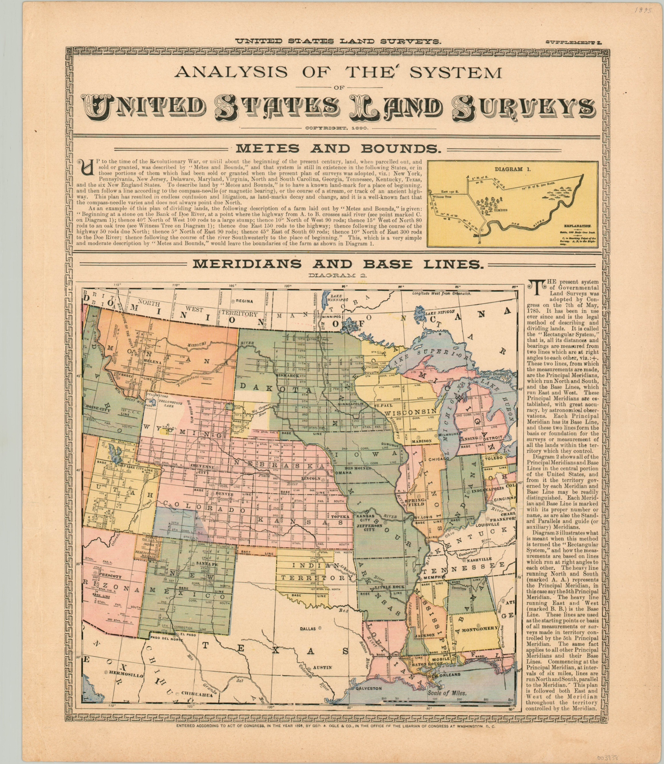
Published as part of an 1895 county atlas by George Ogle & Company, this informative sheet summarizes the processes by which the United States of America was surveyed up to that point. Metes and bounds were used until the end of the Revolutionary War, while meridians and baselines (still used to this day) were adopted by Congressional measures in 1785.
Accompanying maps provide additional details on the organization and methodology of the surveys. The verso continues to discuss further divisions of the land surveys, including townships, sections, and fractions (with additional diagrams).
Map Details
Publication Date: 1895
Author: George Ogle
Sheet Width (in): 14.5
Sheet Height (in): 17.25
Condition: A-
Condition Description: Moderate wear around the outer edges of the sheet, including small tears confined to the margins, creased corners, and slight discoloration. Very good overall.
Out of stock