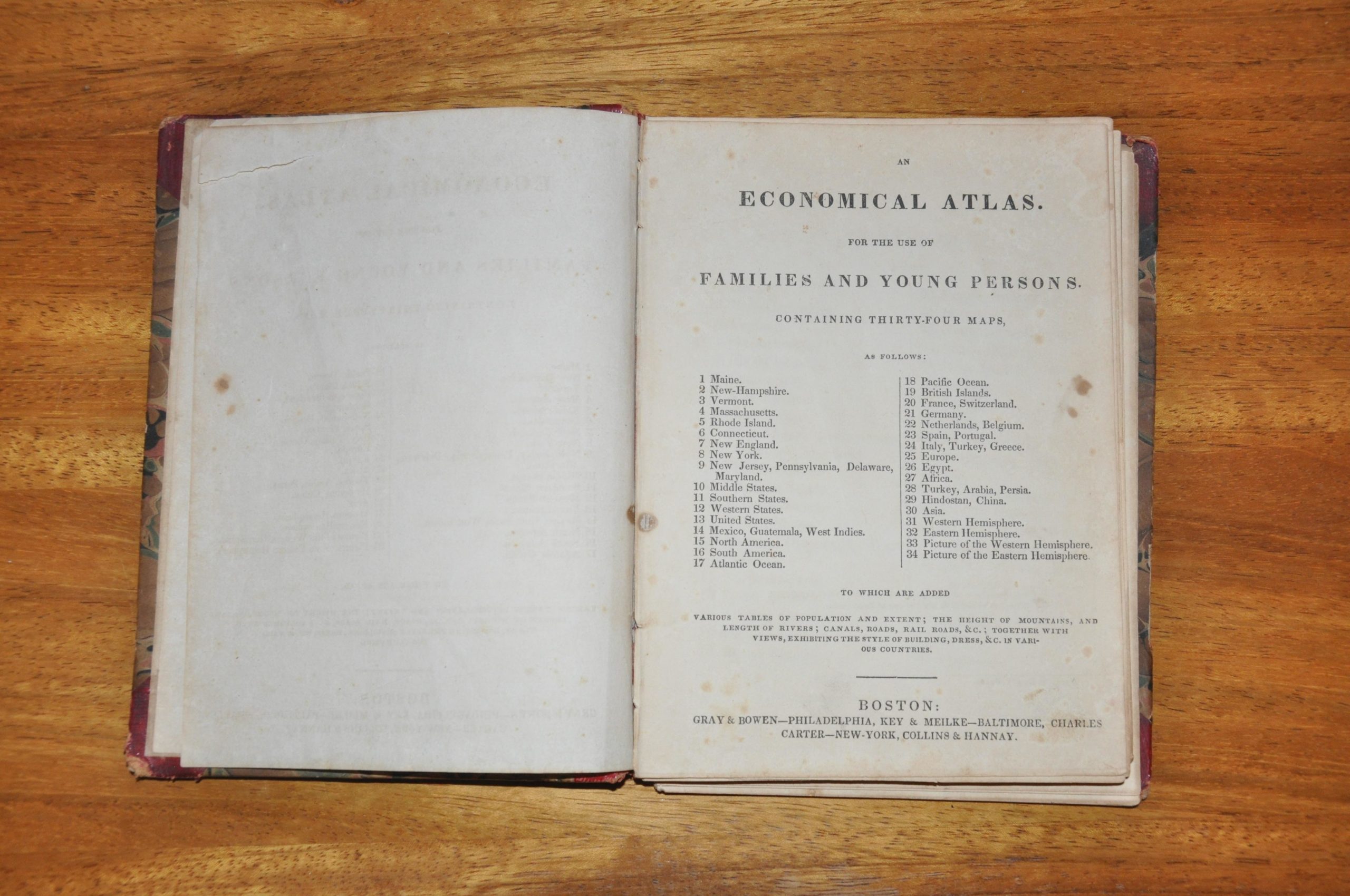
An Economical Atlas for the Use of Families and Young Persons
$275.00
Juvenile atlas of the world compiled by Samuel Goodrich.
Description
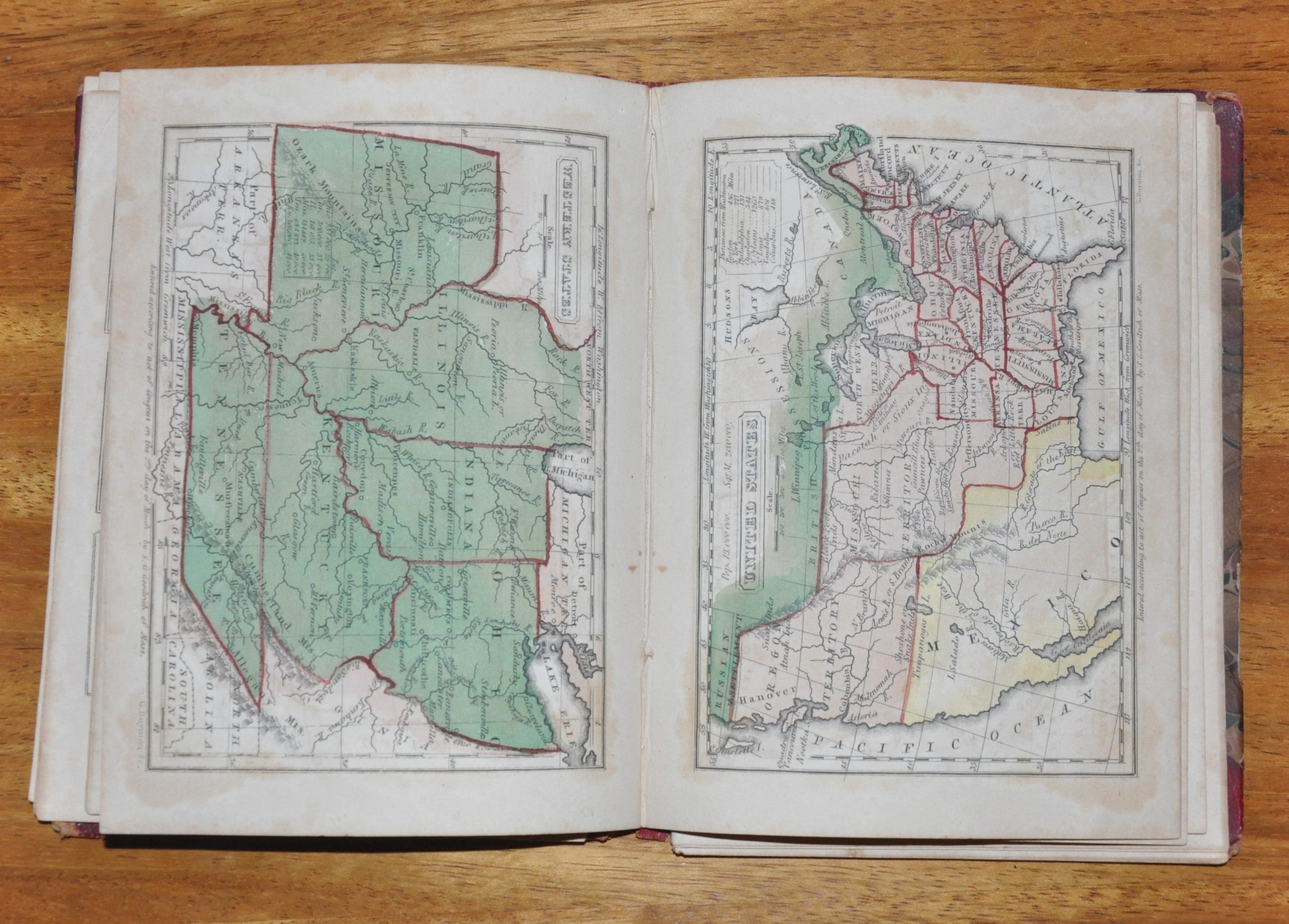
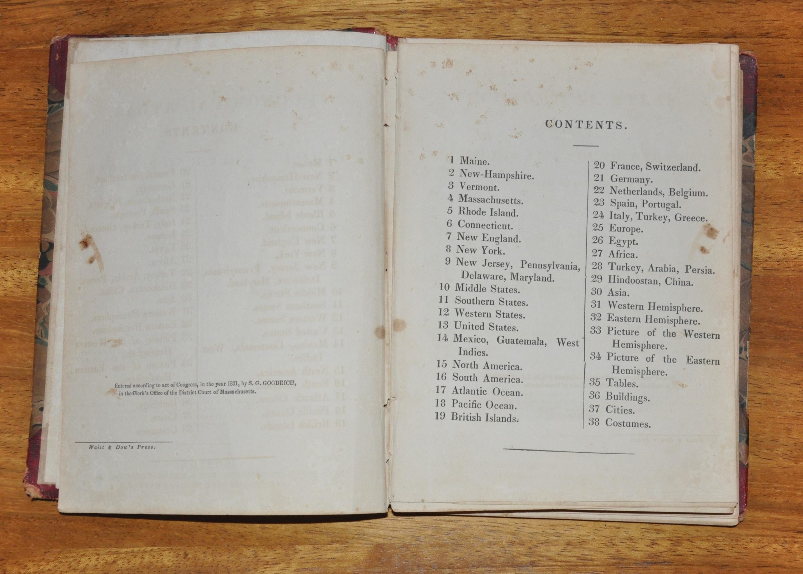
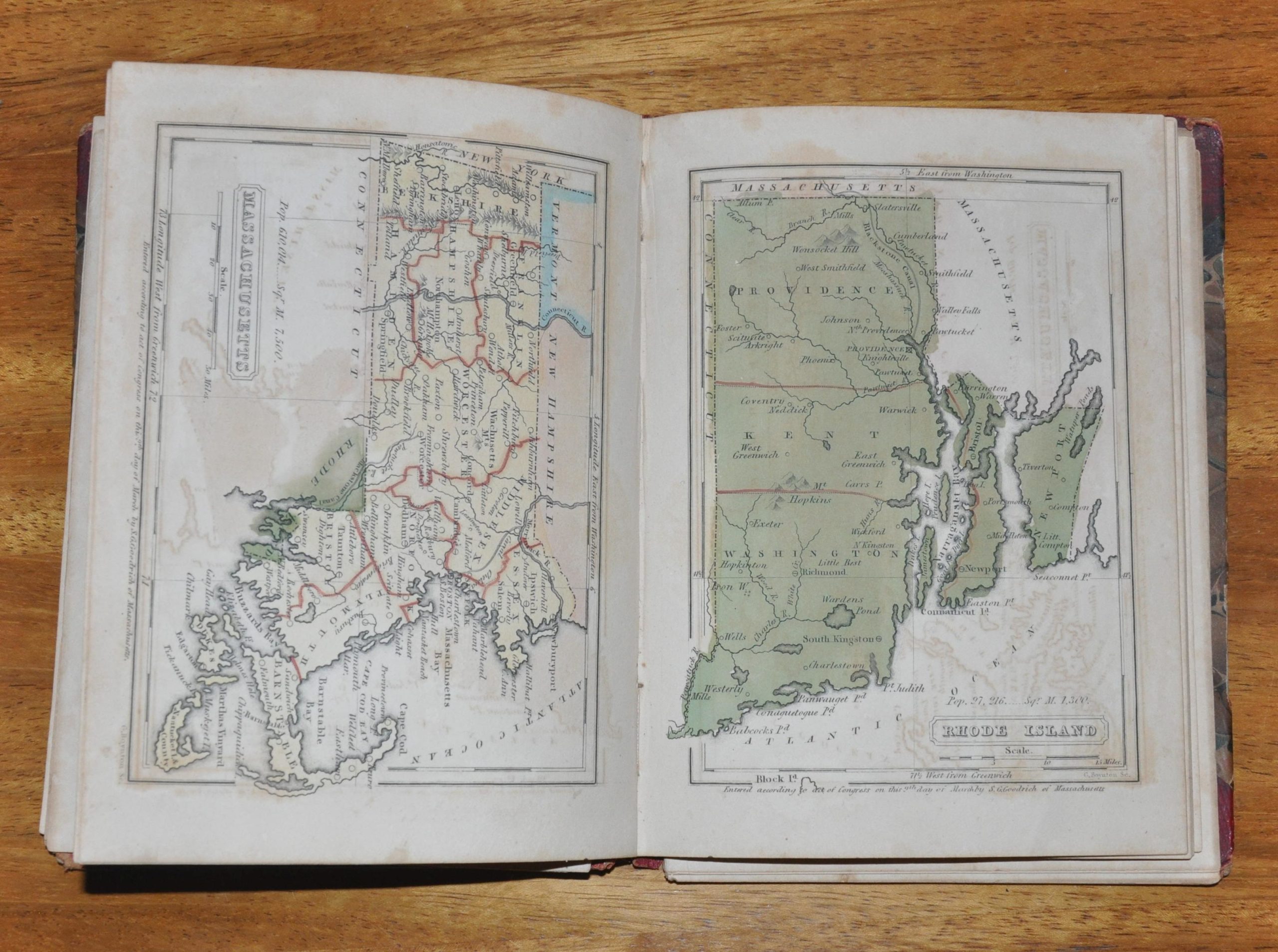
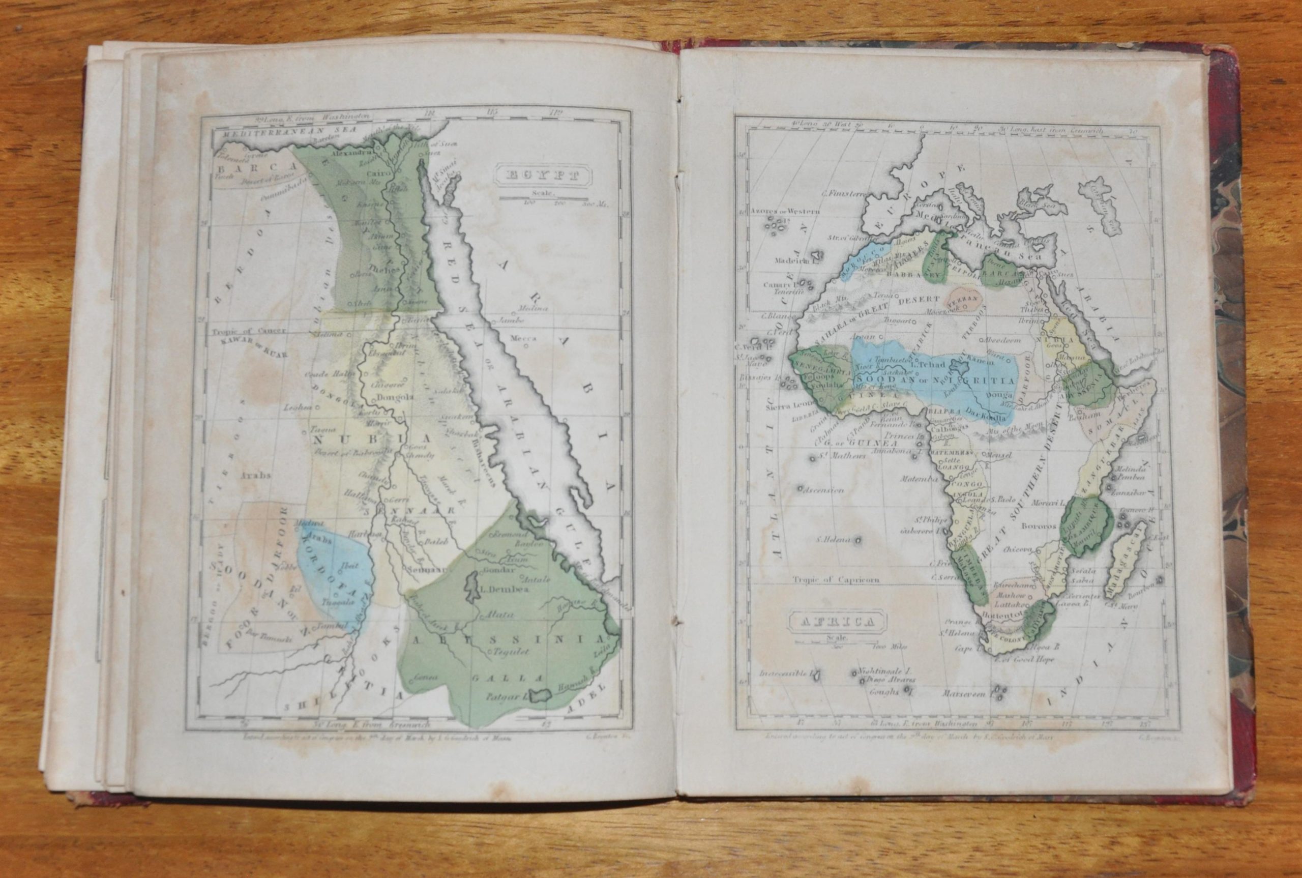
This self-described atlas “for families and young persons” contains geographic information that is typical for mid-19th century atlases, including population tables, city views, and statistics on natural features. There are 34 single and double page engraved, hand colored maps covering the entire world, including views of the Eastern and Western Hemispheres. The borders of the United States are shown to include the Oregon Country, which extends beyond the 49th parallel into lands jointly claimed by Britain and the U.S. The grouping of states on maps elsewhere in the atlas reflect this shift in geographic identity, with the states known today as the Midwest labeled as the Western States, and the Southern States extending west only to Louisiana.
The maps reflect the latest scientific information available at the time of publication, including exploration of the Arctic circle and details within the interior of Africa. However, several cartographic myths such as the Mountains of Kong, ghost islands in the Pacific, and the elusive opening of a possible Northwest Passage can be seen. Lastly, there are 24 engravings showing contemporary costumes from various regions around the world, reflecting the ethnic and cultural stereotypes expressed by most Europeans at the time. The compiler of the atlas, Samuel Goodrich, was a politician and author from Connecticut who was best known for writing young fiction under the pseudonym Peter Parley.
Map Details
Publication Date: 1831
Author: S.G. Goodrich
Sheet Width (in): 7
Sheet Height (in): 5
Condition: B
Condition Description: The atlas is in good shape, with several leaves having come loose from the binding. All maps, views and plates are intact and accounted for.
$275.00

