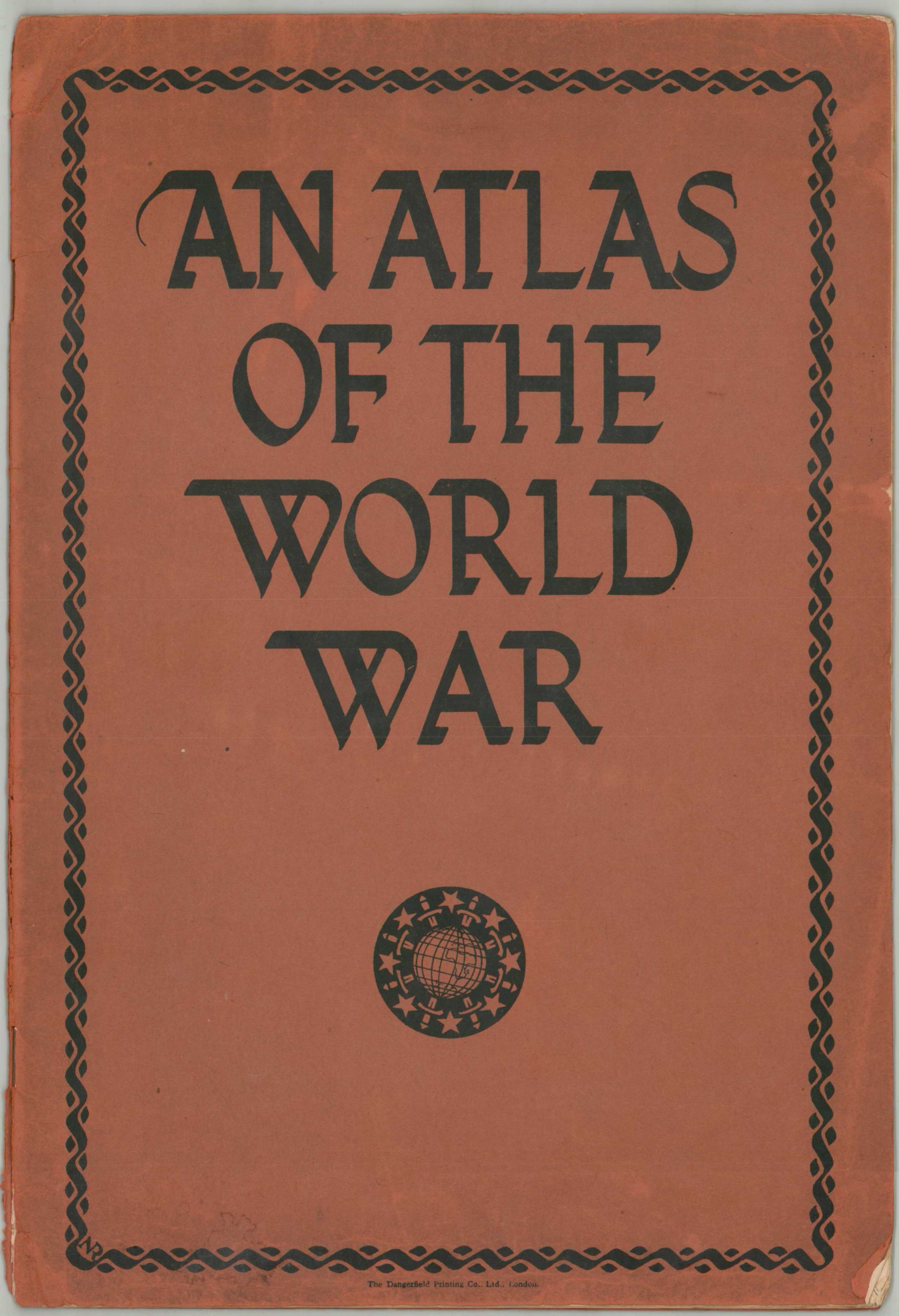
An Atlas of the World War
$275.00
Fascinating British thematic atlas covering many different elements of the First World War.
1 in stock


Description
This detailed atlas of World War I contains fourteen different maps designed by the renowned firm of Stanford’s Geographical Establishment. It was published in London in early 1918 by Dangerfield Printing Company, Ltd. The contents present a variety of maps that explore different theaters of the war, in addition to relevant factors leading up to its outbreak. The volume is perhaps best described by its distinctly British-sounding forward, which has been reproduced in full below.
“This Atlas has been designed to illustrate for the student not only the actual battle fronts but also some of the more general aspects of the World War. The first five maps show without comment, the theatres of war in the West, in the East, on the Italian Front, in the Balkans and in the Asiatic possessions of Turkey. The sixth map illustrates in greater detail the British front in the West, while the seventh shows the various theatres of war in which British troops are engaged and the vast distances which they have safely travelled under the protection of the British Navy. The eighth map demonstrates the collapse of Germany’s ambitions in the East, and the ninth illustrates the vast extent of the possessions which she has lost overseas.
The tenth map shows the isolation in which Germany has placed herself by her criminal outrages on civilization, and the eleventh explains, by chapter and verse, the claims to world domination which have been put forward by her leaders. The twelfth map illustrates the growth of the military domination of Prussia, while the thirteenth is an effective exposure of the professed desire of the Central Empires for the “free development” of other races. The last map shows how Germany, at the commencement of the fourth year of war, is gripped in a relentless vice of steel, and points to the final and decisive victory of Great Britain and her Allies.”
Map Details
Publication Date: 1918
Author: Dangerfield Printing Company, Ltd.
Sheet Width (in): 14.5
Sheet Height (in): 9.75
Condition: B+
Condition Description: War atlas containing 14 different color maps (13 single and 1 double-page) with stapled binding and original brown paper covers. The wraps are worn and show several chips around the outer edges. Contents are generally good to very good, with scattered wrinkling, moderate wear and faint soiling consistent with age and use. Good to very good overall.
$275.00
1 in stock