
Amerique Meridionale
$60.00
An intriguing map of South America from the late 17th century.
1 in stock
Description
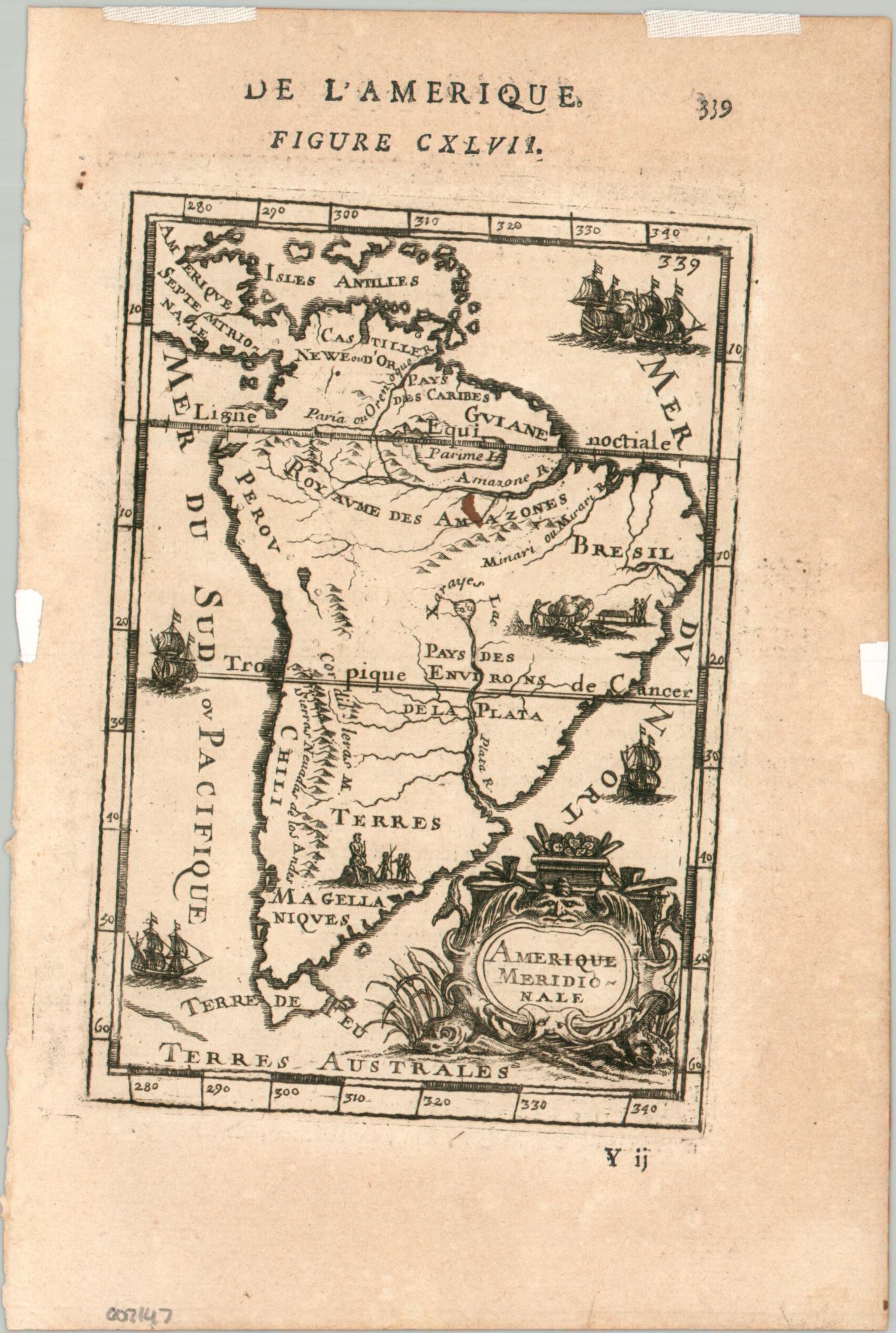
This interesting map of South America was published in Paris in 1683 as part of Alain Manesson Mallet’s “Description de l’Univers.” The image provides a relatively rudimentary continental overview under control by Spanish and Portuguese colonizers. Named geographic features include the two mythological lakes, Parime and Xarayes, as well as Tierra Fuego and the Andes. Small vignettes show sailing ships, the Patagonian giants, and cannibals roasting a body.
Map Details
Publication Date: 1683
Author: Alain Manesson Mallet
Sheet Width (in): 5.5
Sheet Height (in): 8.4
Condition: B+
Condition Description: A somewhat skewed plate strike on a toned sheet with several pieces of archival tape in the margins, were previously matted. A small ink spot near the center of the sheet. Good condition overall.
$60.00
1 in stock