
Amerique du Nord dresee par A.H. Dufour
Fine French steel engraving of North America with original hand color.
Out of stock
Description
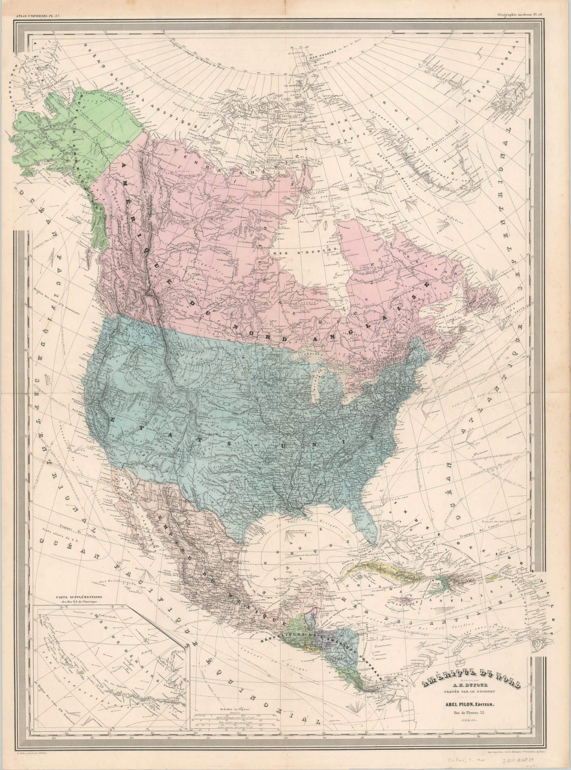
This spectacularly detailed map of North America was published in Paris around 1860 as part of A.H. Dufour’s Atlas Universel. All text is in French, and the image presents a fascinating overview of the continent shortly before the outbreak of the American Civil War. Vibrant hand color distinguishes the various independent nations or territorial claims throughout – though pigment in the polar region is notably absent.
What can be found there is an optimistic interpretation of the latest credited explorations, including a clearly labeled Northwest Passage through the Arctic Sea. Hashed lines throughout the image indicated hypothetical waterways and the proposed route for the first Transcontinental Railroad.
Despite the availability of steam power at the time of publication, most commercial activity still operated by sail. As such, a great deal of information on currents, wind directions and other maritime details are included along the coastal areas.
An inset map in the lower left shows the Aleutian Archipelago – at the time largely unhabituated but considered a part of Russian Alaska.
Map Details
Publication Date: c. 1860
Author: A.H. Dufour
Sheet Width (in): 23.00
Sheet Height (in): 30.90
Condition: A-
Condition Description: Minor creasing and a bit of separation along the horizontal fold line. Faint scattered soiling in the margins, but remains in very good condition overall.
Out of stock