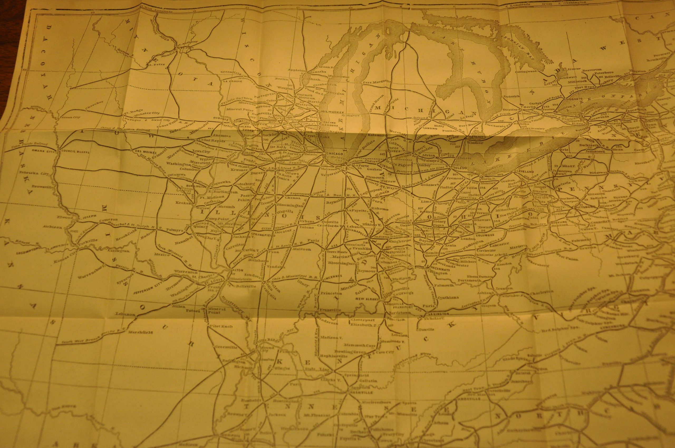
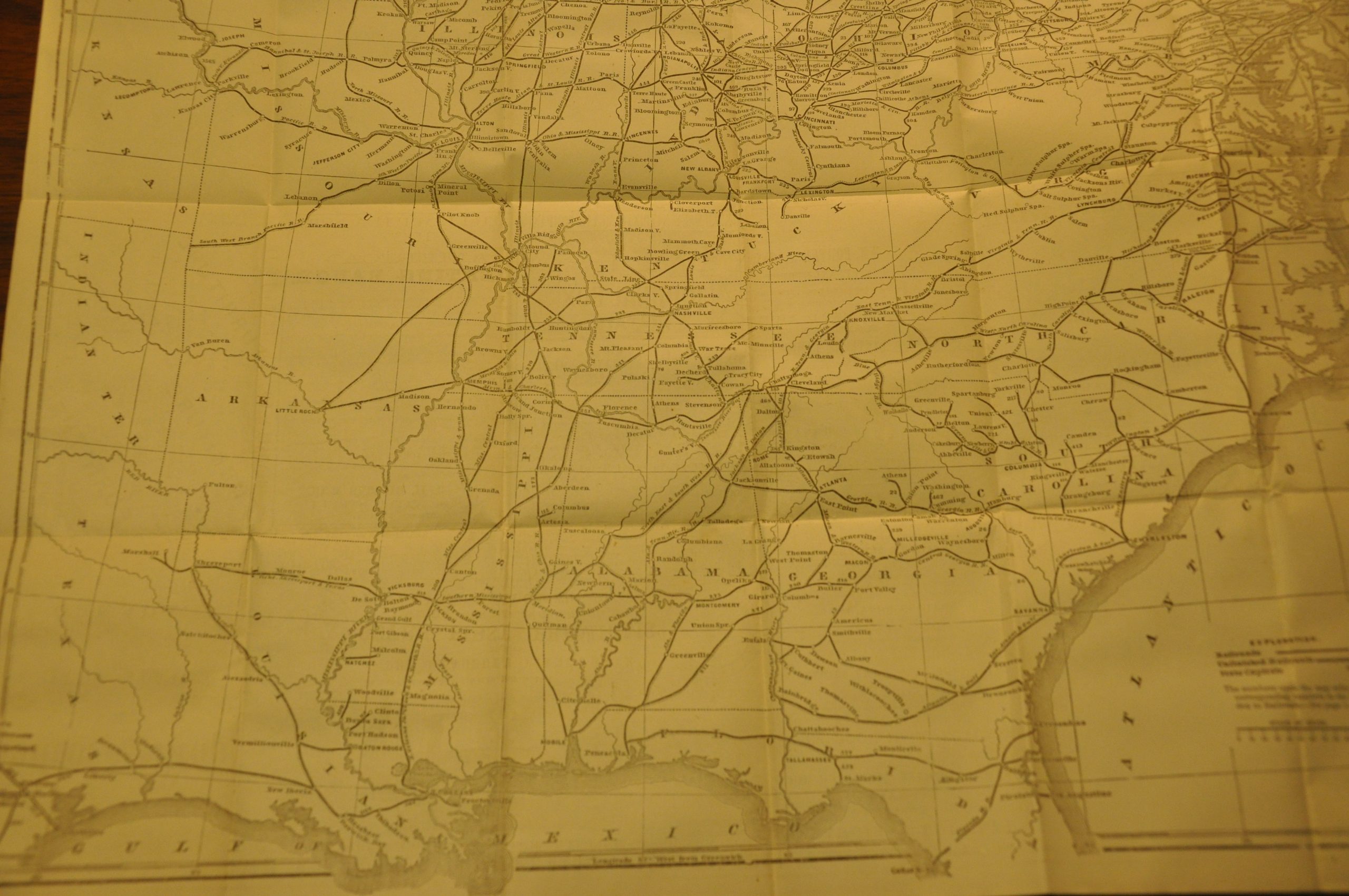
American Railroad Guide [with] Railroad Map of the United States and the Canadas, showing all the Railroads Completed and in Progress
Encyclopedic overview of American railroads the year before the Golden Spike was driven at Promontory Point.
Out of stock
Description
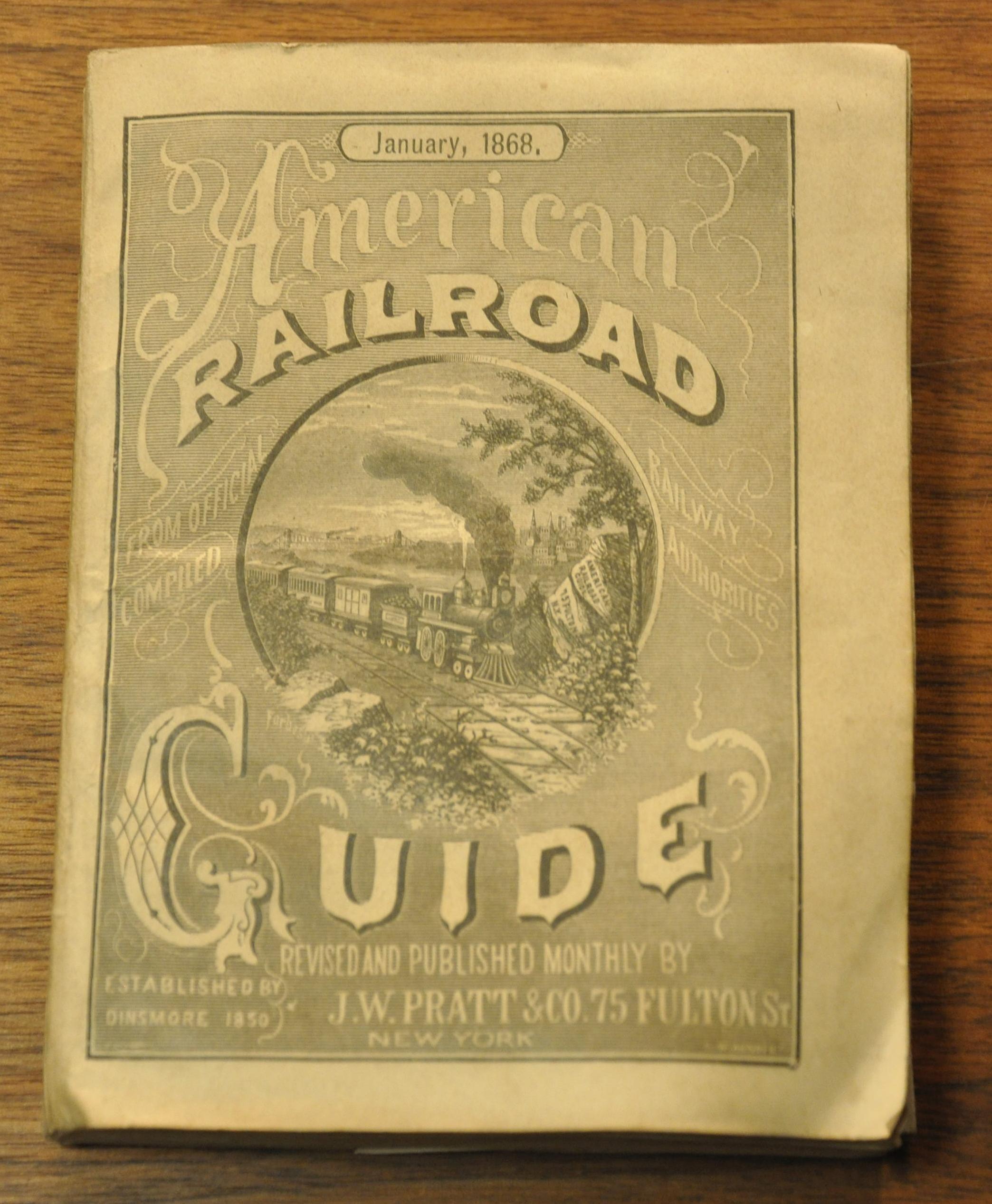
The American railroad network grew rapidly in the years following the Civil War. Such expansion is catalogued in the accompanying rise of corresponding railroad publications. This is an excellent example, published in January of 1868 by J.W. Pratt & Co. of New York.
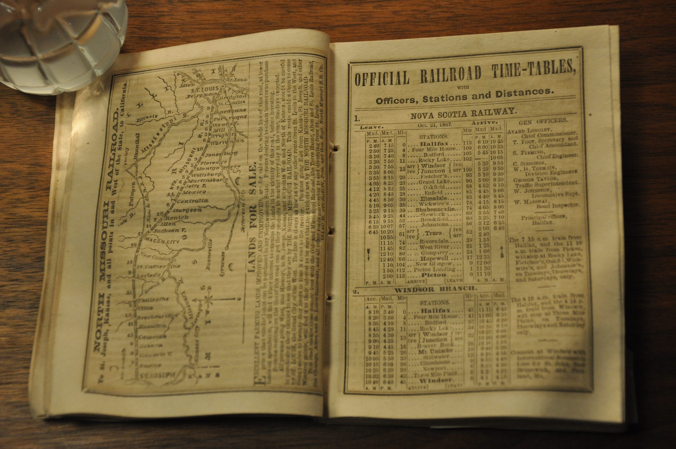
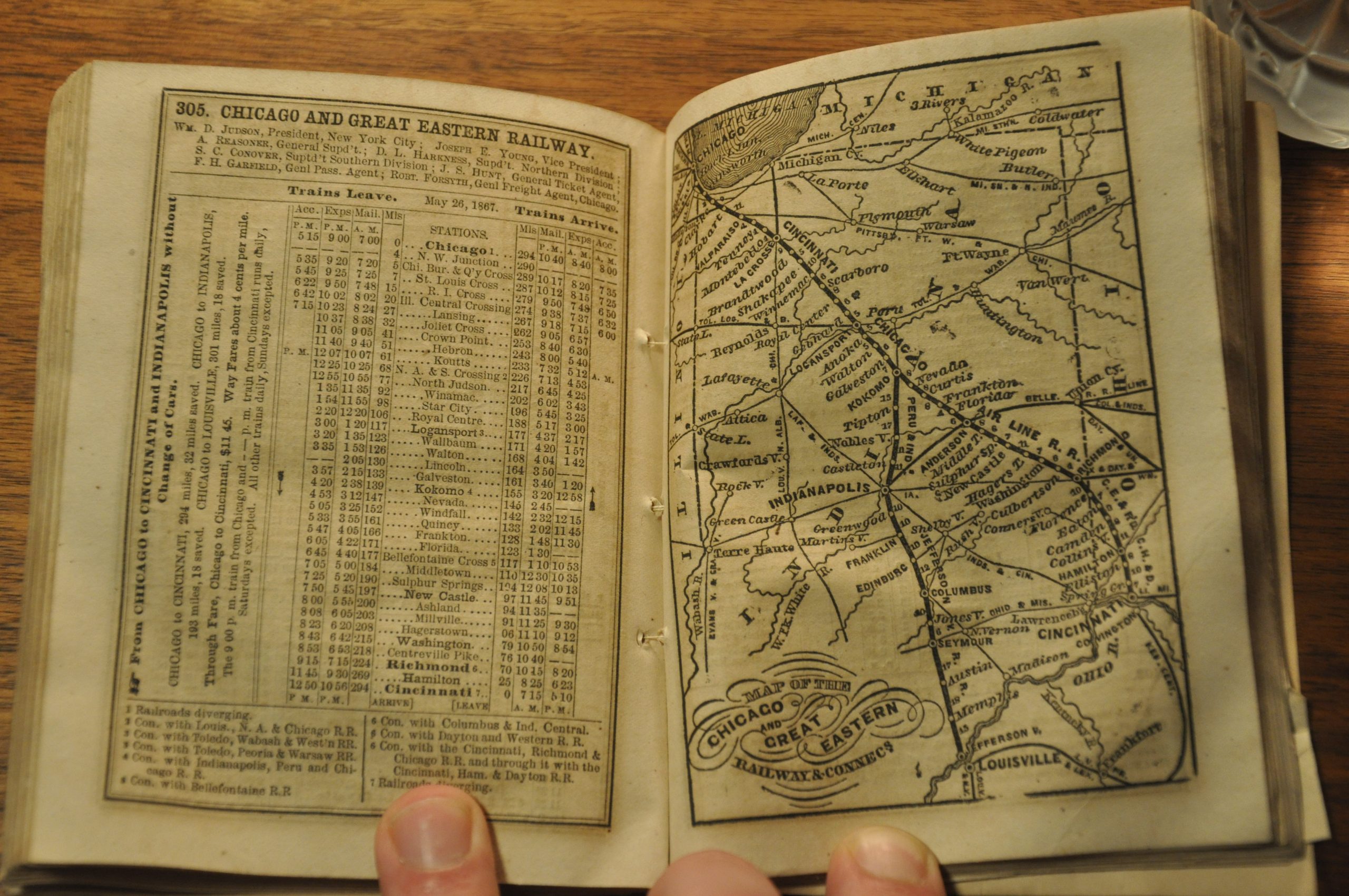
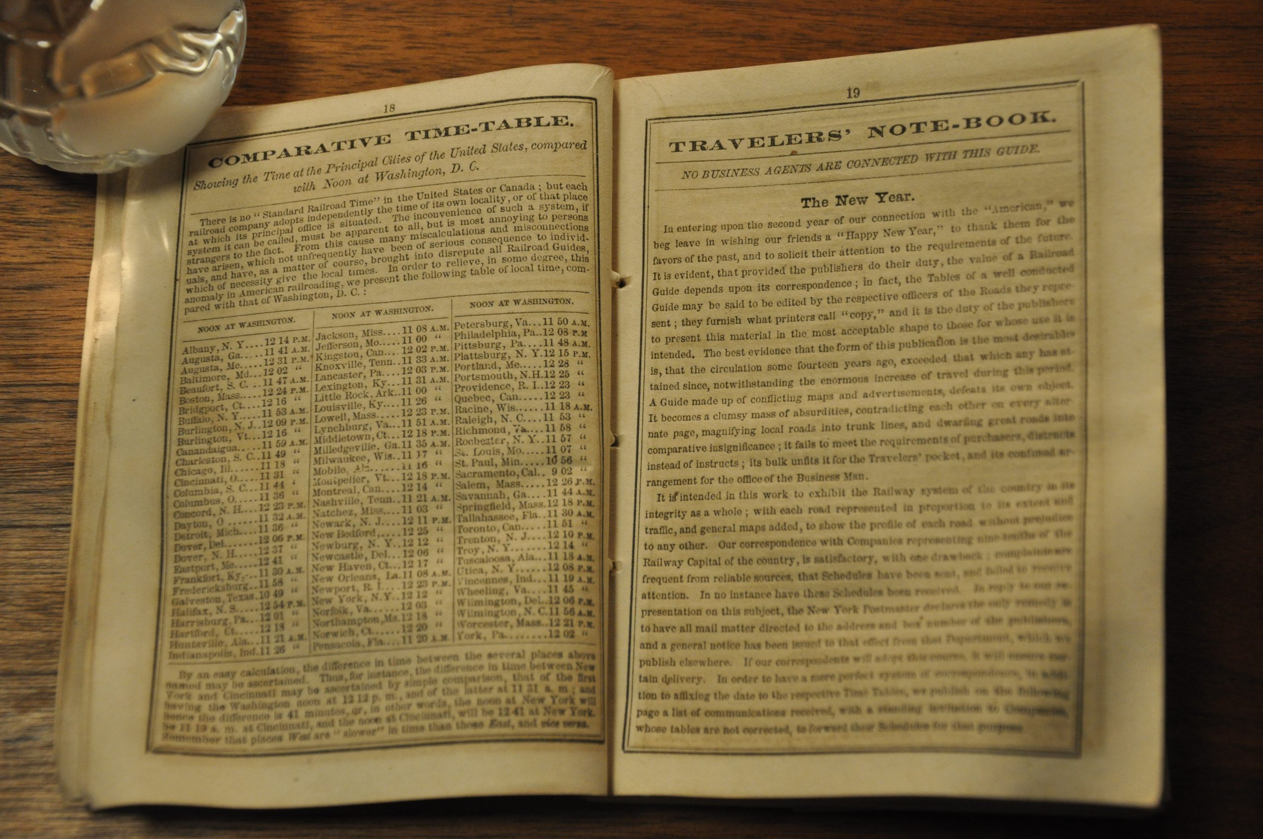
The title page indicates the publication began in 1850 and was revised and edited each month. One can imagine the workload required to issue such up-to-date guidebooks; each of which includes timetables, maps and connection information for the dozens of railroads in operation across the United States. This example cites 438 separate entries, but skipped numbers likely indicate prior bankruptcies, consolidations, etc.
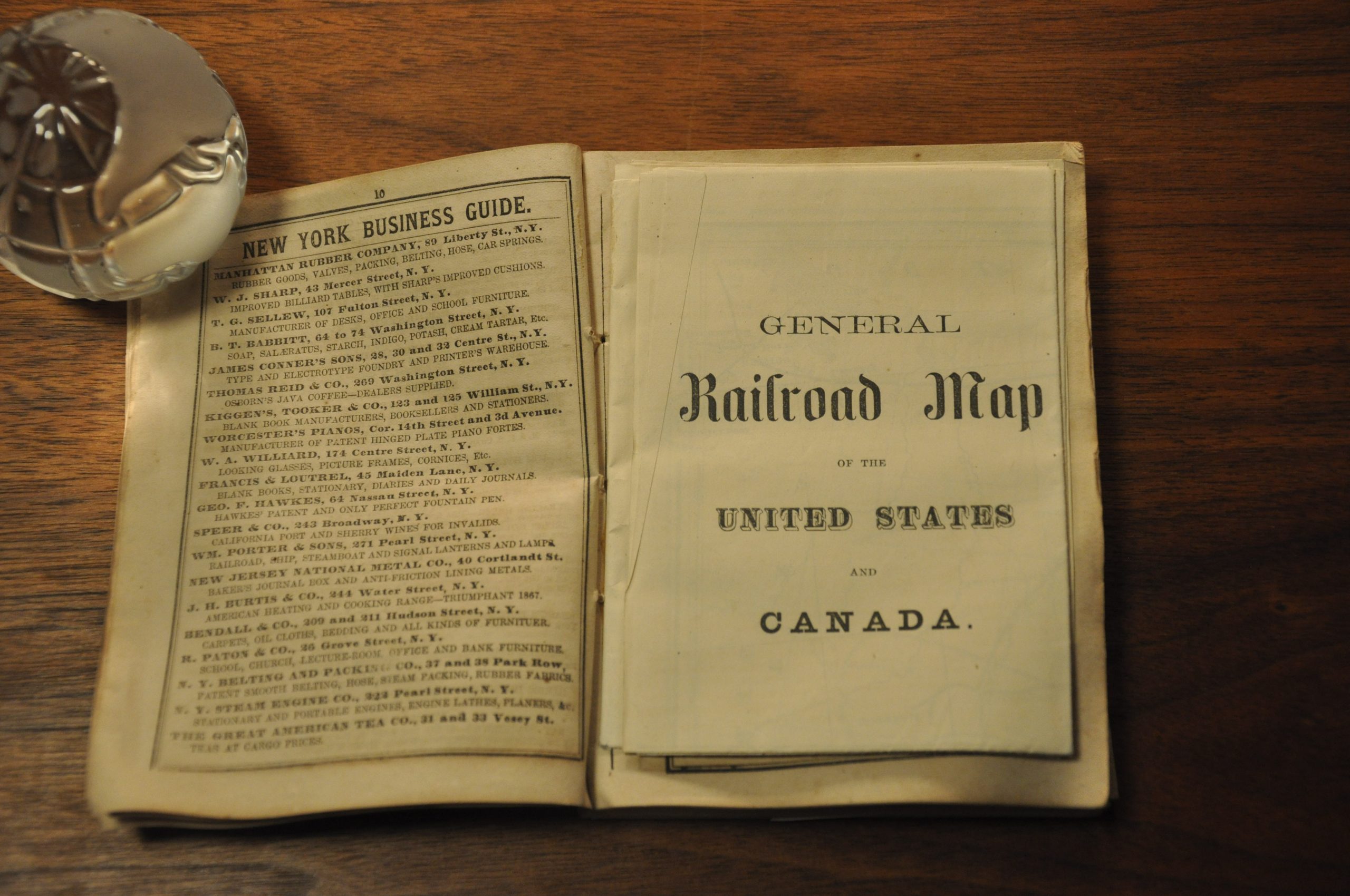
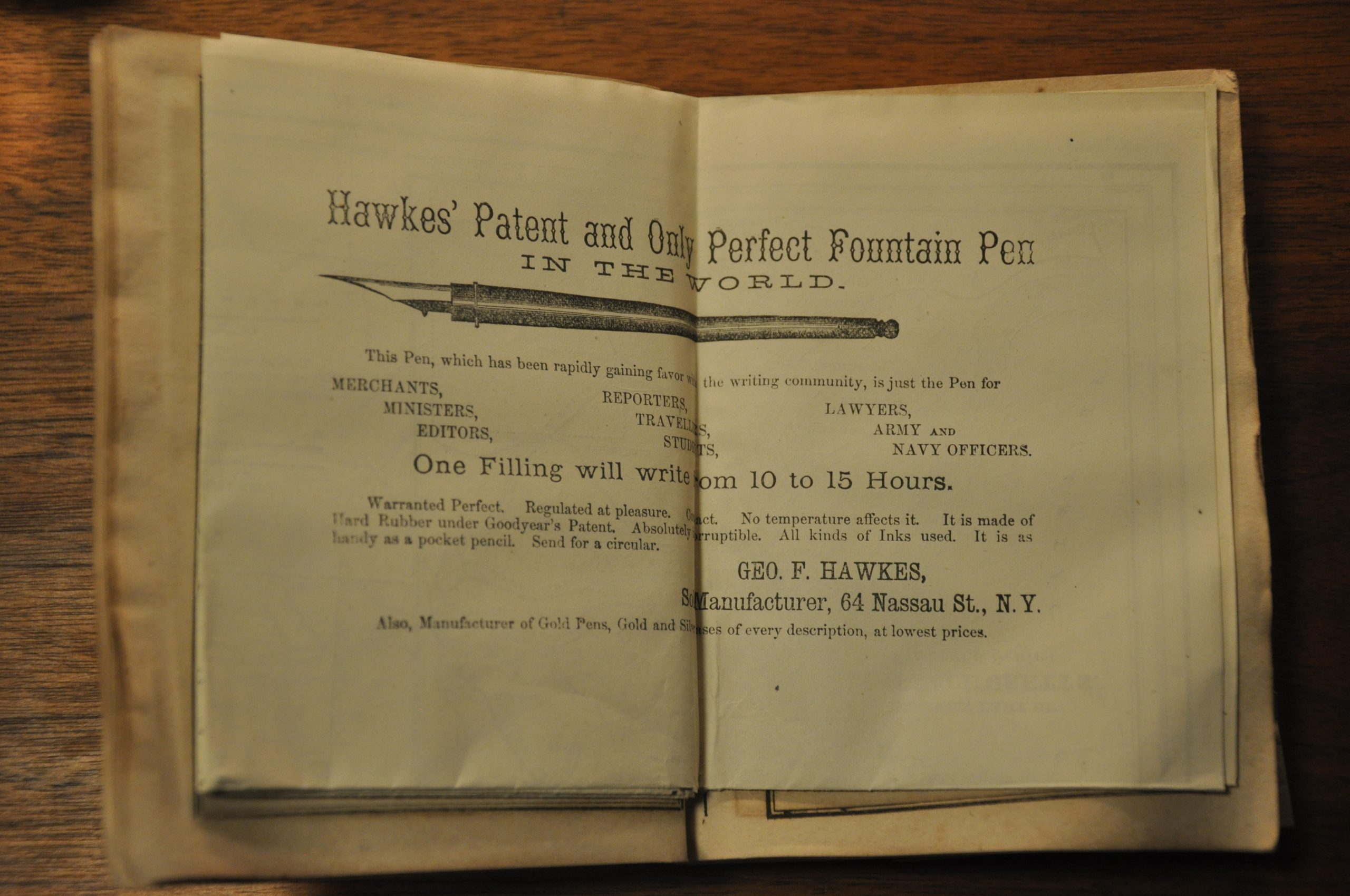
The variation in coverage between each railroad appears to correspond to the fees paid by each, as entries for the larger lines include advertising. A small section for the Central Pacific is included, but otherwise western railroads are largely ignored – perhaps information wasn’t readily available?
In addition to information about each railroad in operation, the guidebook includes hotel recommendations, a traveler’s note book, an explanation of the confusing railroad time, contemporary advertisements, and an extensive index of all railroad stations on each line.
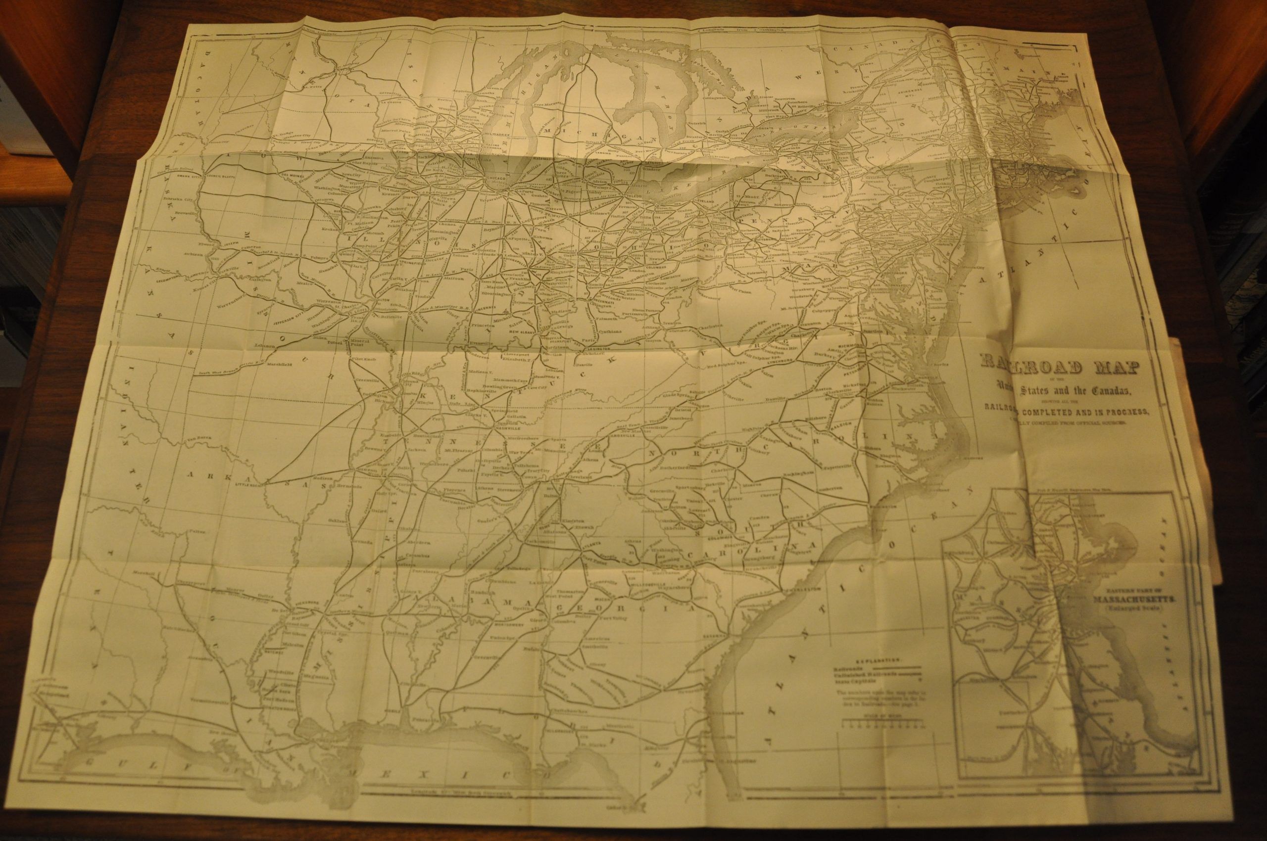
The highlight of the guidebook is the extensive folding map of the United States east of the Great Plains. Each referenced railroad referenced in the accompanying guide is numbered within the image. Issued just three years after the conclusion of the Civil War, the map shows an extensive disparity in rail lines between the northern and southern states. The high number of unfished railroads (noted with small dots) reflects patterns of extensive construction not confined to any particular region, but an inset map of eastern Massachusetts shows one area with particularly notable concentration.
In the west, the Union Pacific can be seen stretching off the page through Nebraska. The year after publication, it would meet with the Central Pacific Railroad near Promontory Point, Utah. The completion of the first Transcontinental Railroad would forever change the landscape of America, and it’s unlikely subsequent issues of the guide would omit the western half of the United States.
Map Details
Publication Date: 1868
Author: J.W. Pratt & Co.
Sheet Width (in): See Description
Sheet Height (in): See Description
Condition: A-
Condition Description: Folding map measuring approximately 24.75" x 20", with creasing and light wear along fold lines. Small areas of separation at fold intersections, but overall the sheet is bright and in very good condition. Bound in the front of a guidebook, 4.5" x 5.6", which contains dozens of maps, timetables, and contemporary advertisements. Contents and bindings are slightly worn and toned from age. The last dozen pages have extraneous creasing in the lower right corner.
Out of stock

