American Airlines System Map Route of the Flagships
Original price was: $175.00.$135.00Current price is: $135.00.
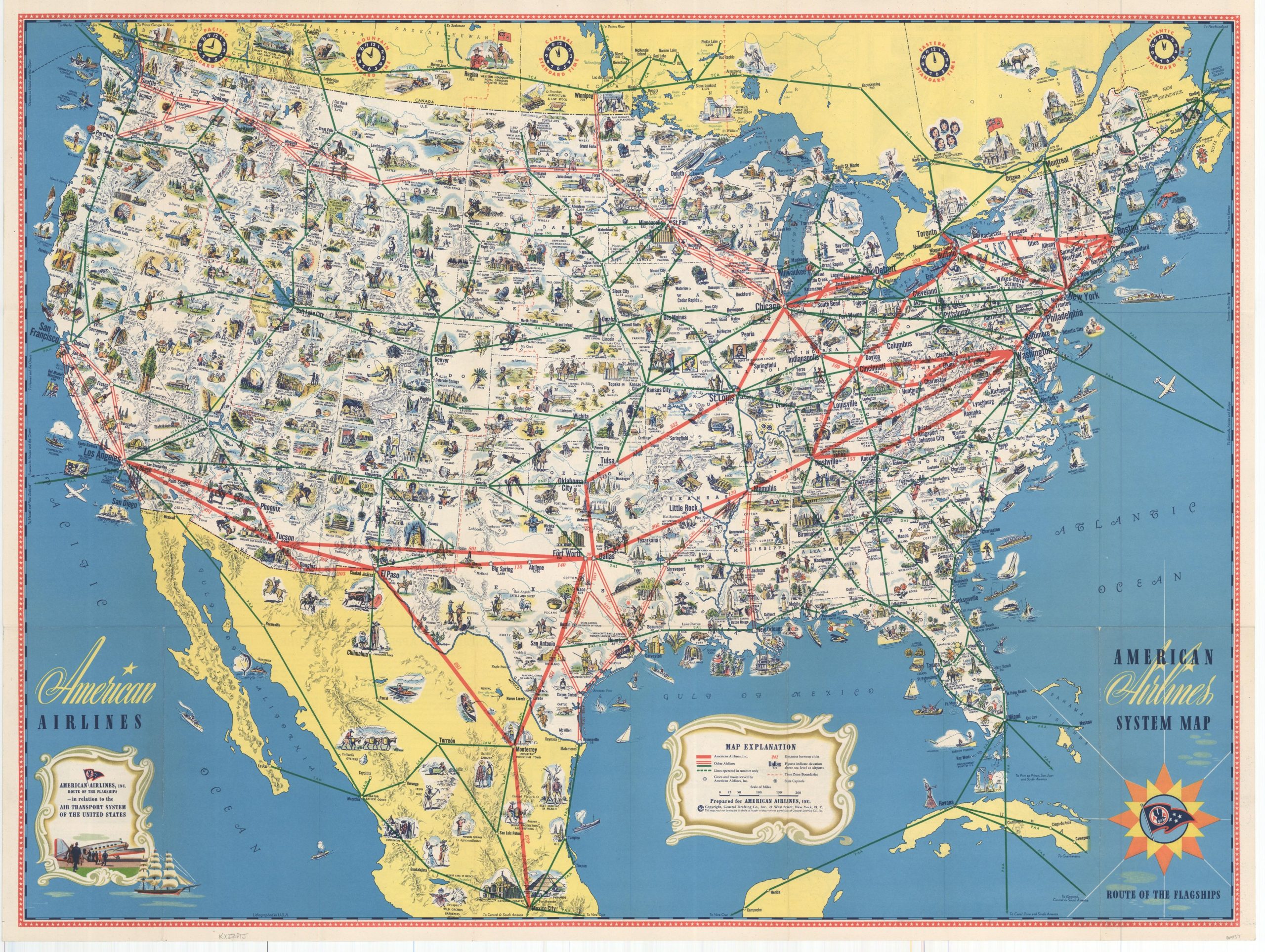
Vibrant map of the United States highlighting the domestic airlines in operation during the early 1950’s.
1 in stock
Description
Published near the beginning of air travel’s ascendancy (overtaking rail), this pictorial map outlines the flight routes available to travelers in the United States, Canada, and Mexico shortly after the end of WWII. Routes operated by American and other companies are shown, as this was a time when regional airlines still dominated a large section of the market.
The workhorse of the fleet, the DC-3, is shown on the cover and revolutionized consumer air travel in the United States. However, a coast-to-coast flight would still require several refueling stops and take as long as 20 hours!
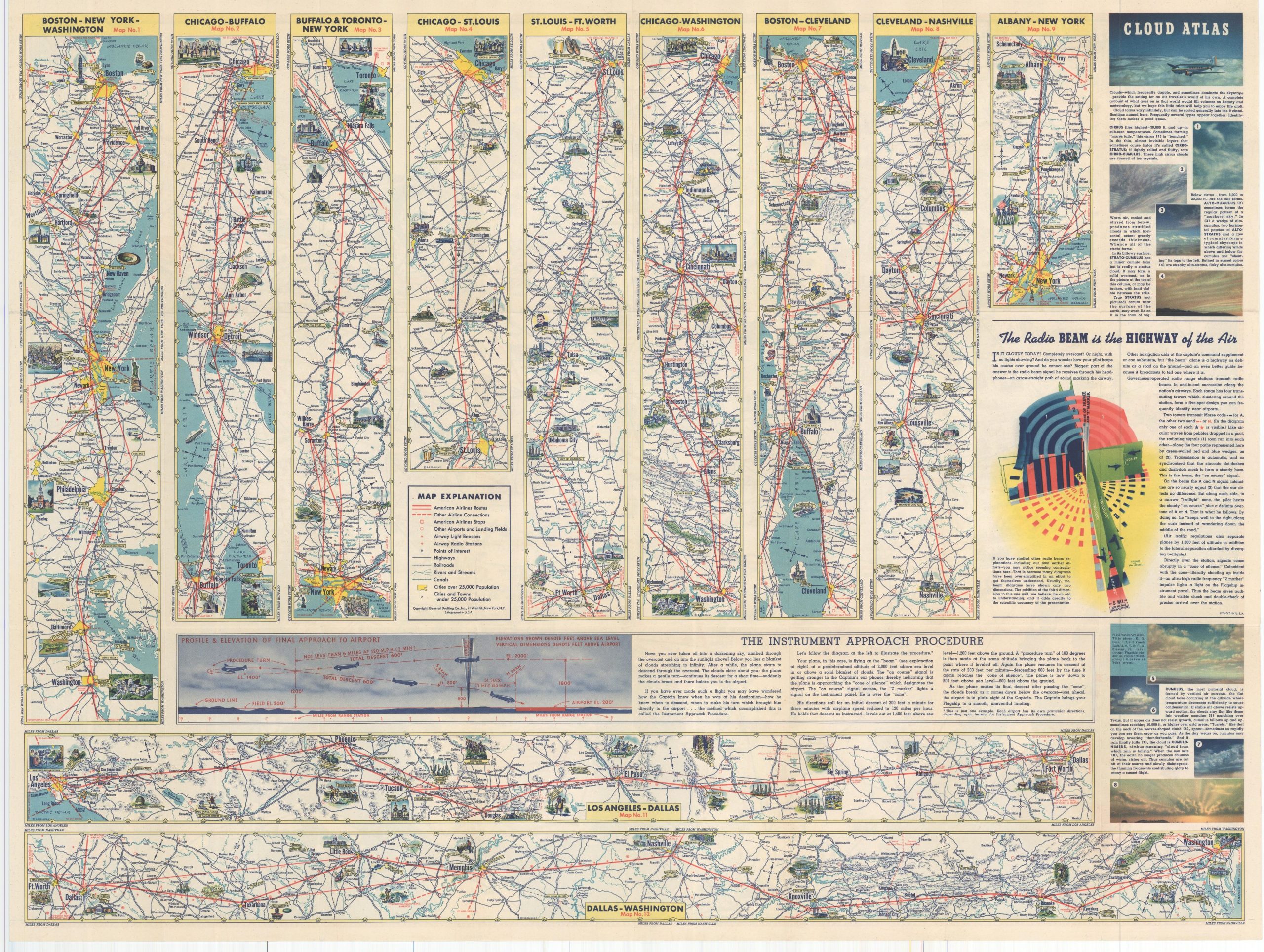
Small illustrations highlight many of the natural attractions, historic sites, and important landmarks accessible by air across the country, and strip maps on the verso provide further information on twelve of the most popular routes across the country.
Map Details
Publication Date: c. 1950
Author: General Drafting Company, Inc.
Sheet Width (in): 31.75
Sheet Height (in): 23.75
Condition: A
Condition Description: Very light wear and creasing along originally issued fold lines. Near fine condition overall.
Original price was: $175.00.$135.00Current price is: $135.00.
1 in stock


