
Alaska Tongass National Forest
$195.00
Region of Fiords and Forests Nature Unchanged.’
1 in stock
Description
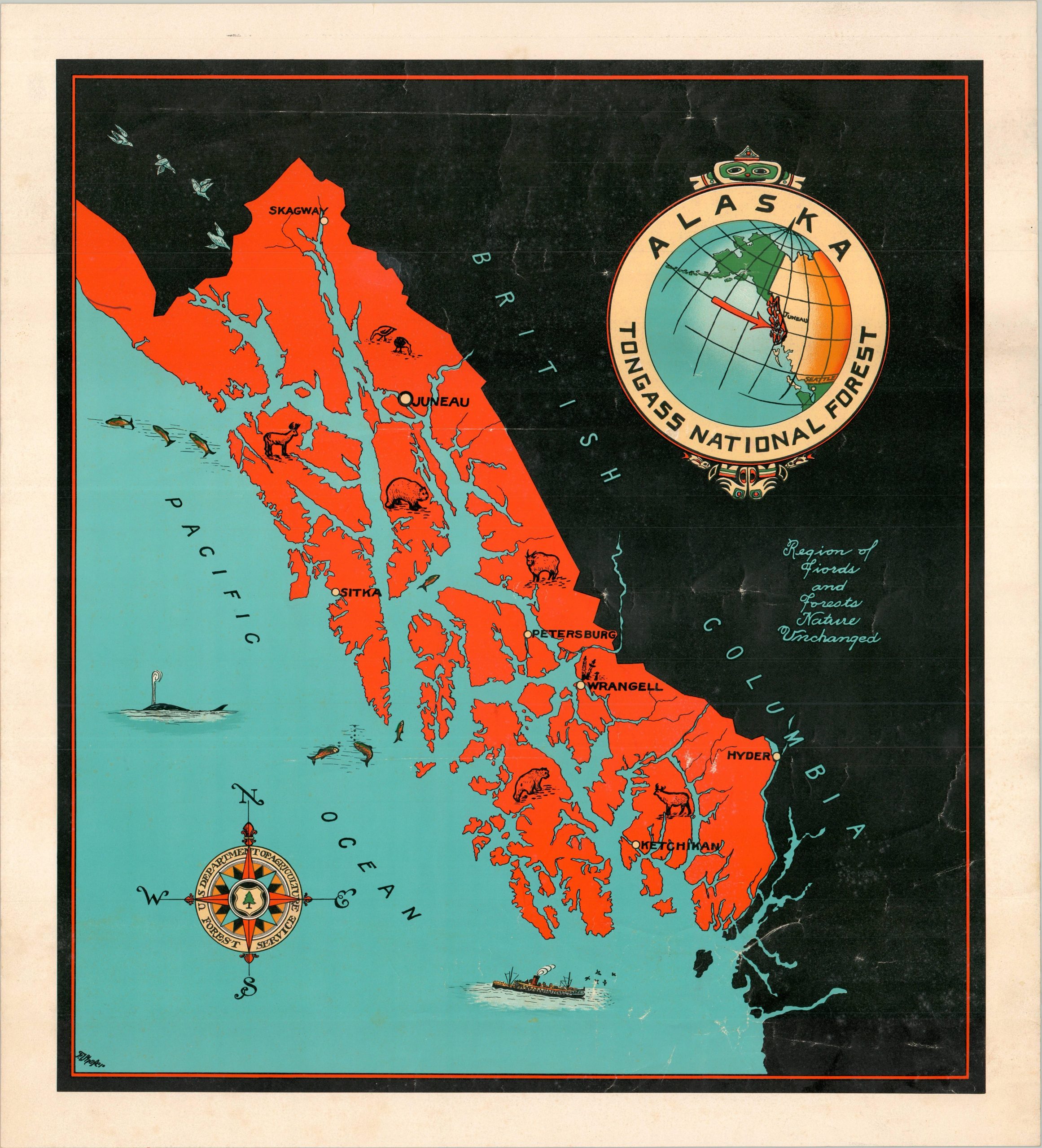
This striking map of Alaska’s southernmost coast captures the extent of the largest National Forest in the U.S. – Tongass National Forest. The protected territory, highlighted in bright red, spans over 16 million acres and includes several large towns, including Ketchikan, Sitka, Wrangell, Skagway, and the state capital of Juneau. Small vignettes celebrate the diverse local wildlife, while the adjacent expanses of British Columbia are relegated to a vast, inky blackness. The decorative title cartouche includes a small inset noting the location of the Tongass National Forest.
The map was illustrated by F.I. Shafer, whose name can be seen in the lower left. Published around 1940 by the U.S. Forest Service, a branch of the Department of Agriculture.
Source: David Rumsey Map Collection
Map Details
Publication Date: c. 1940
Author: F.I. Shafer
Sheet Width (in): 18.75
Sheet Height (in): 20.80
Condition: B+
Condition Description: Color printed map on a single-sided sheet of glossy paper. Some visible wrinkling and creasing where previously irregularly rolled. Good condition overall.
$195.00
1 in stock