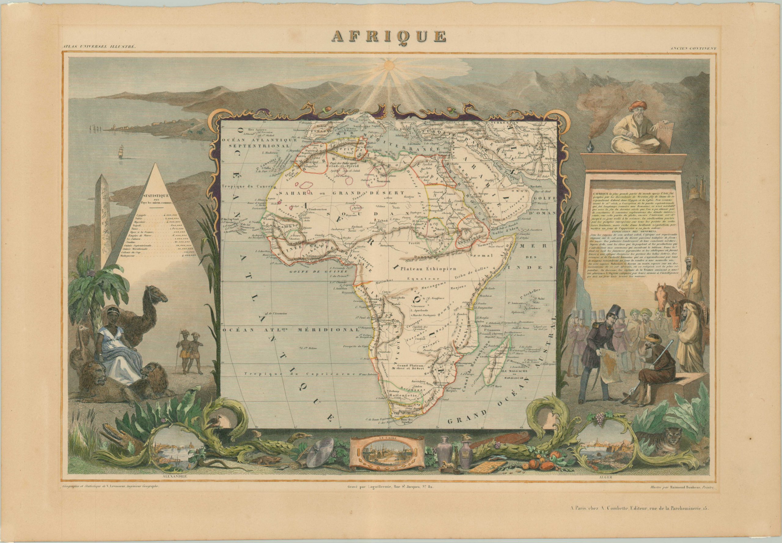
Afrique
$140.00
Attractive map of the African continent in full color.
Description
Victor Levasseur’s maps from his famous Atlas Universal Illustre are immediately recognizable due to their elaborate engravings surrounding the map on the page. On this image are canopic jars, obelisks and alligators from Egypt; a mosque, praying Muslim and Berber warriors from North Africa, and head dressed natives, exotic birds and gold from the sub-Saharan regions. Small views of Alexandria, Cairo and Algiers are entwined between local fauna and Baroque leaves. Much of the interior of the continent was still unexplored at the time, but Lake Tchad and the beginning of Lake Nyasa can be found along with a reasonable approximation of the Niger. Fictitious elements, like the Mountains of the Moon and speculative rivers in the Congo, are also present. The colored outlines are alleged to have approximated to various ruling tribes and kingdoms within Africa, but it would have be difficult for the cartographer to distinguish the exact boundaries presented on the map.
Map Details
Publication Date: 1850
Author: Victor Levasseur
Sheet Width (in): 20.5
Sheet Height (in): 14
Condition: A-
Condition Description: The map is in good condition, with gorgeous hand color.
$140.00

