
Africa
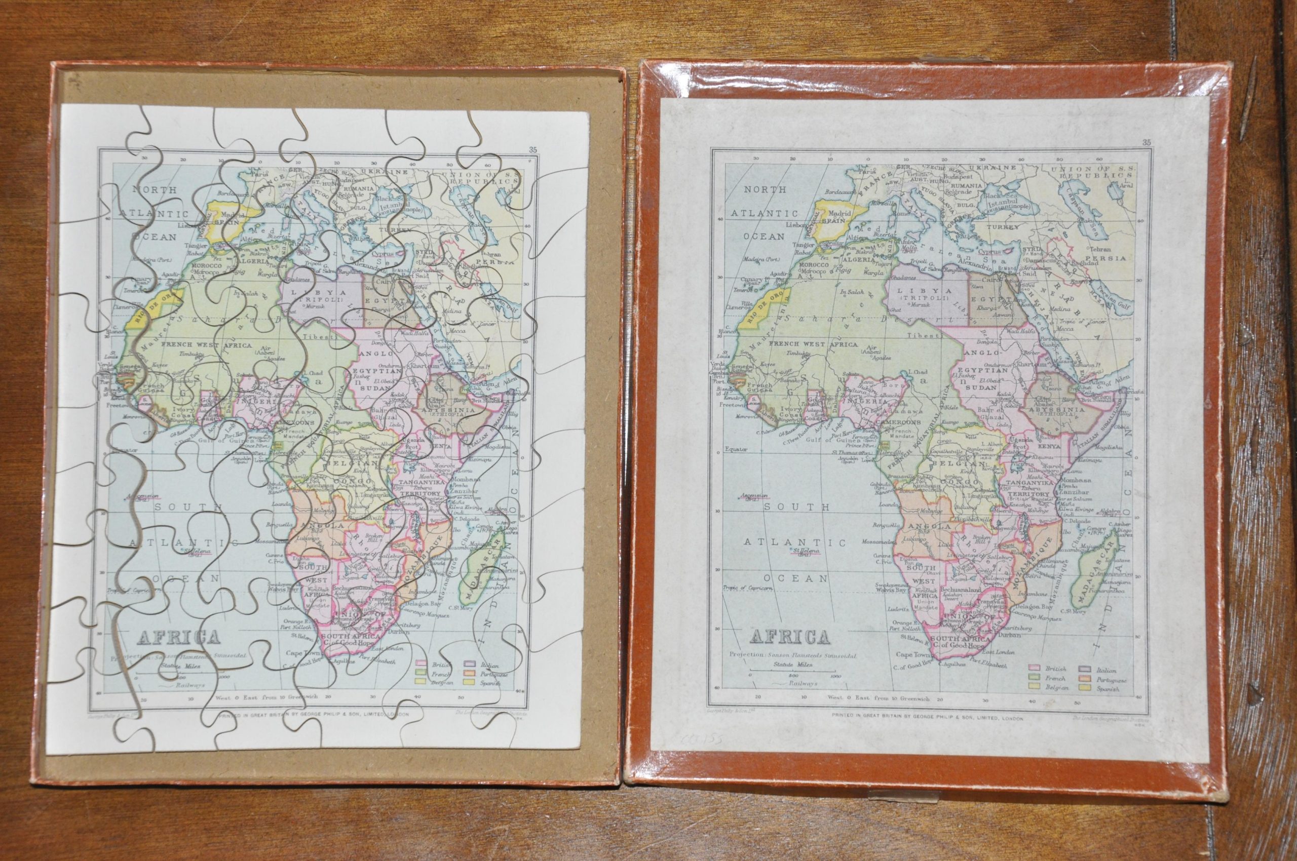
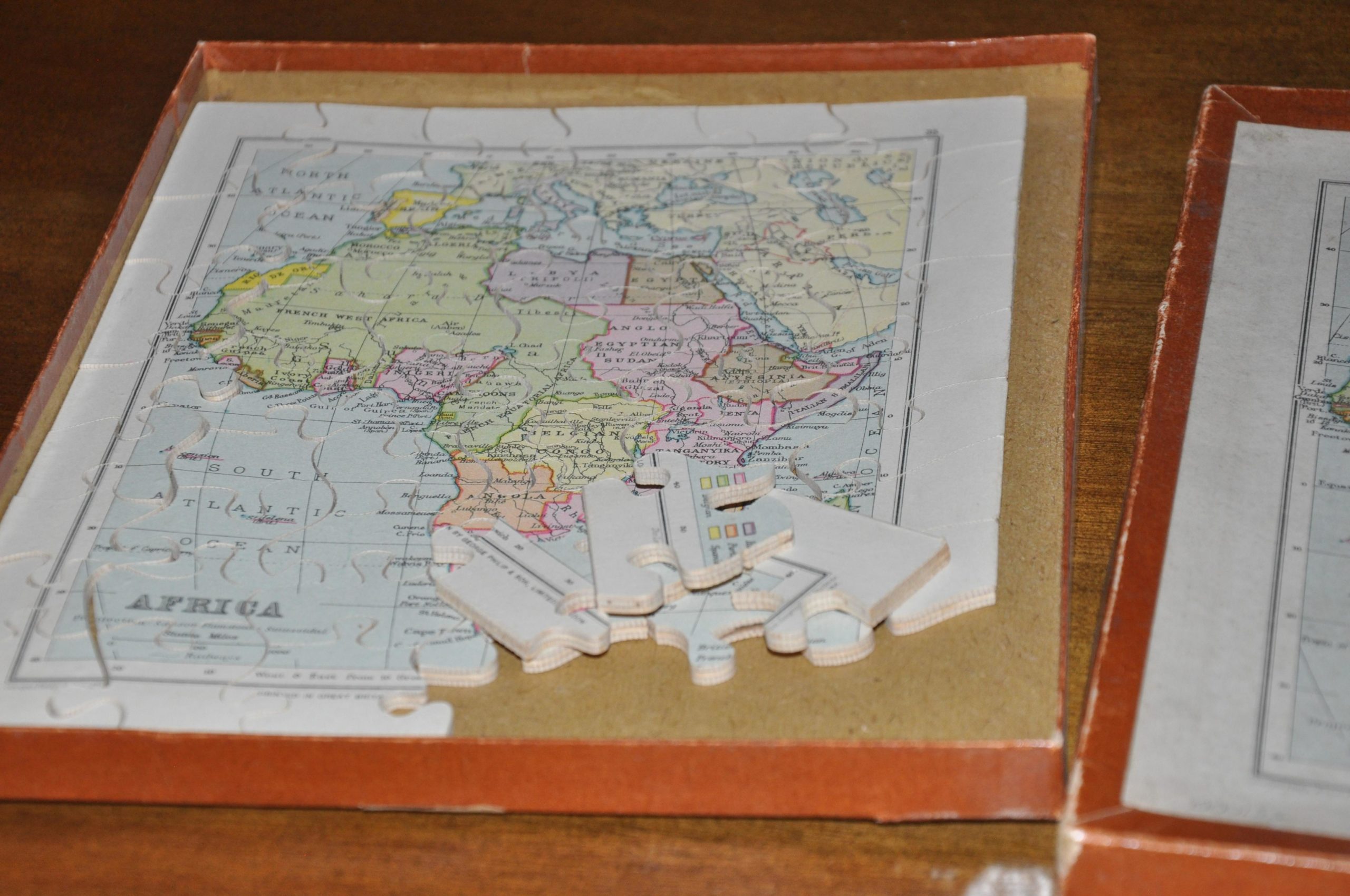
Puzzle map of Africa reflecting colonial occupation in 1934.
Out of stock
Description
This puzzle map, published by the 19th century London firm George Philip & Son, is a dramatic representation of the colonial exploitation of Africa that rapidly took hold after the Berlin Conference in 1884. This international conference, organized by Otto Von Bismarck, formalized the process of colonial administration and hastened the process known as The Scramble for Africa. Prior to 1870, only ~10% of Africa was under direct colonial rule, but that number increased to nearly 90% by the first decade of 1900. The only “independent” countries on this map are Liberia, Egypt (although still heavily influenced by the British), and Ethiopia, who would be invaded and defeated by Italy the year after publication, thus being absorbed with Eritrea, and Somaliland into Italian East Africa. French and British mandates can also be seen in the Middle East, the result of the Sikes-Picot agreement dividing the territory between the two countries at the end of WWI.
Map Details
Publication Date: 1934
Author: London Geographical Institute
Sheet Width (in): 7.5
Sheet Height (in): 9
Condition: A-
Condition Description: The puzzle is complete and in excellent condition, with some wear to the original box.
Out of stock