
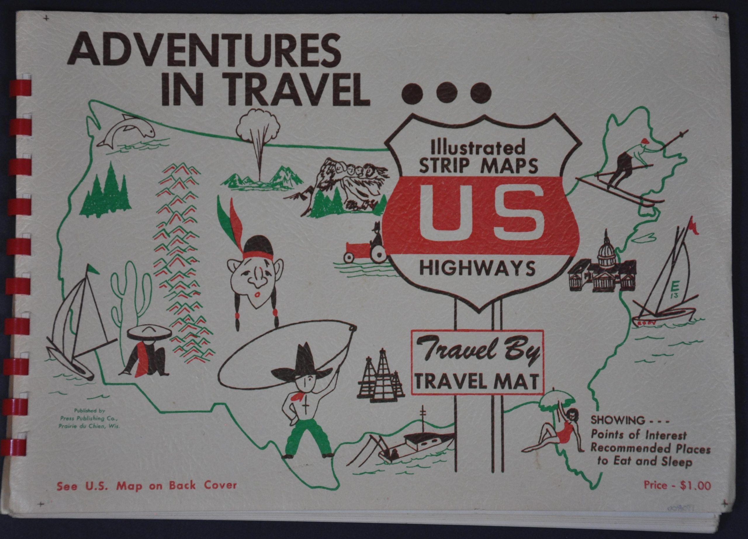
Adventures in Travel…Illustrated Strip Maps US Highways Travel by Travel Mat
Where to eat, sleep, and play from coast to coast.
Out of stock
Description
“From the inception of the Travel Mat we have adhered rigidly to a basic rule: In order to be listed on a Travel Mat, the tourist accommodation must be absolutely the best available in the locality. It must be clean, well managed, agreeable. The service must be good. The prices must be commensurate with the cuisine…We are now answering a demand of long standing – that we collect all of the Travel Mats into a single publication so that travelers will be able to see at a glance the best route, the best accommodations, and the outstanding tourist attractions along the way” – J. Alvin Dru’yor.
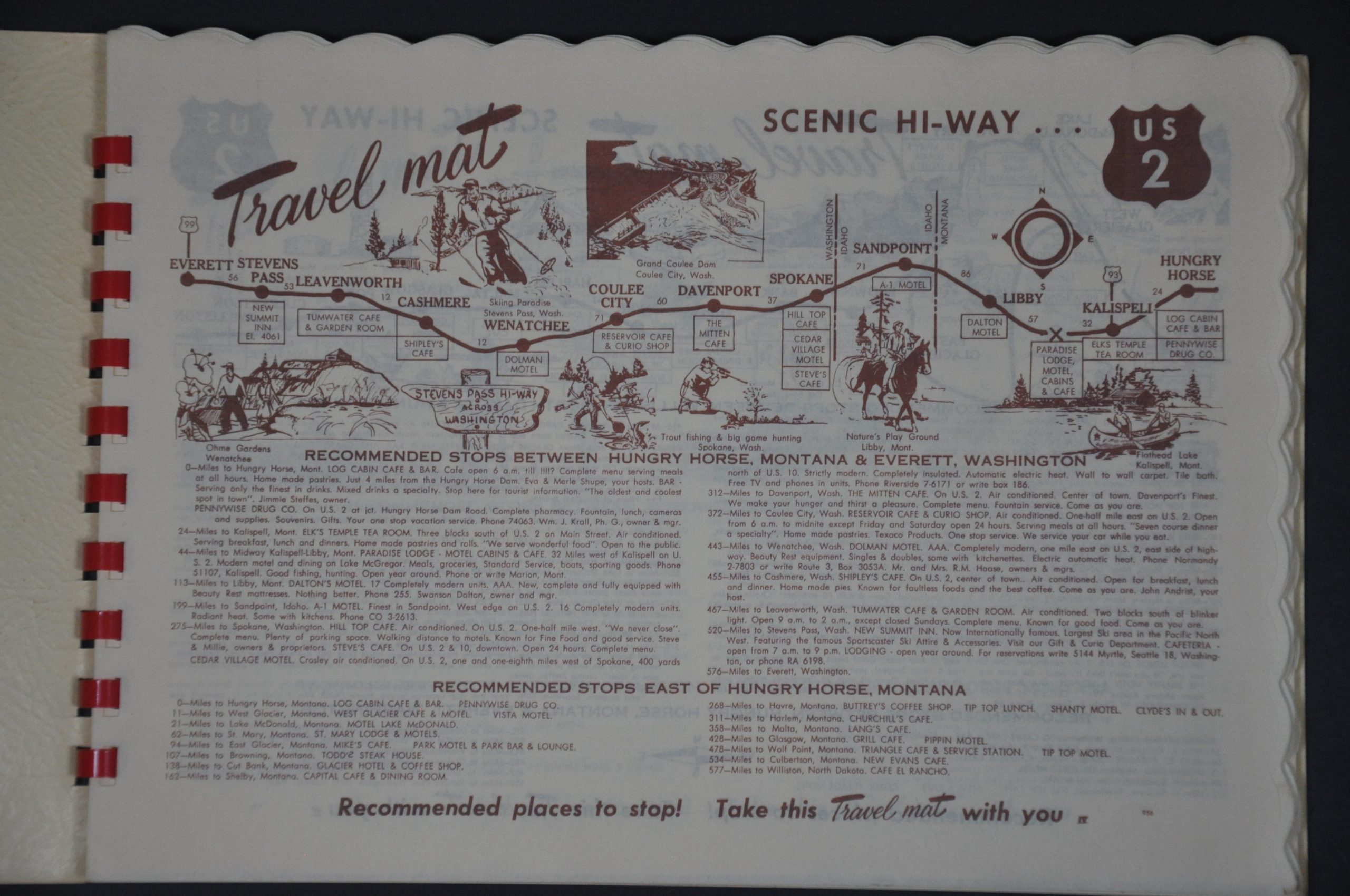
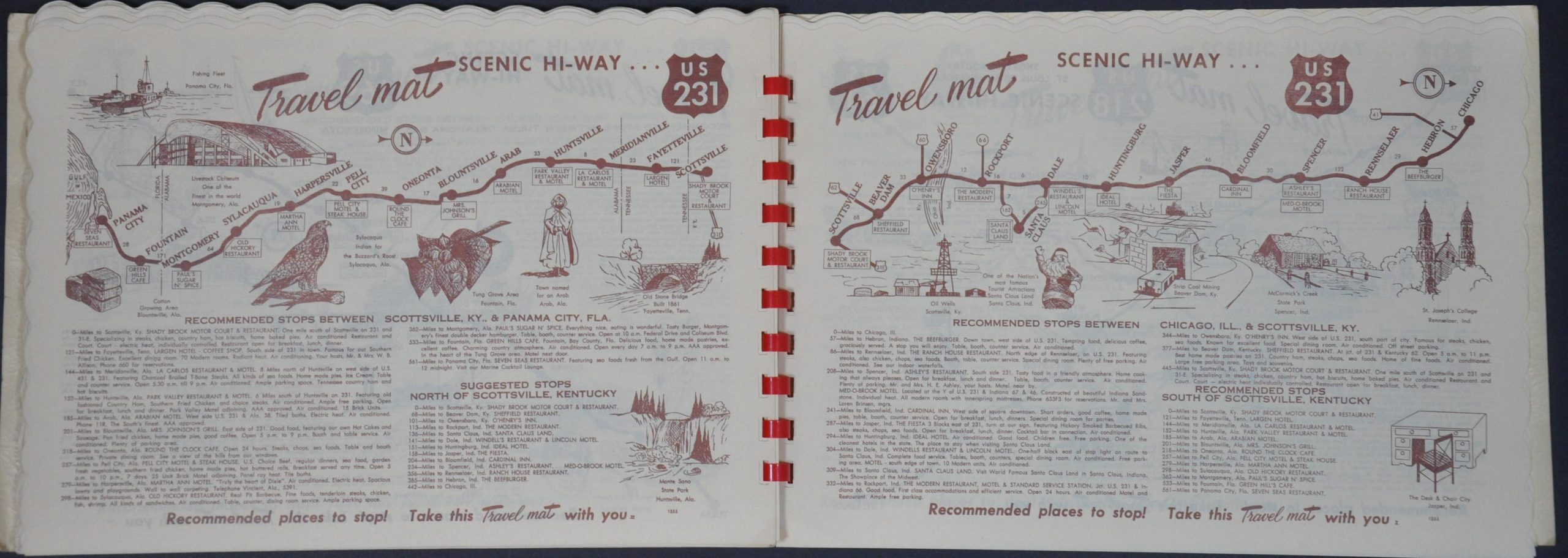
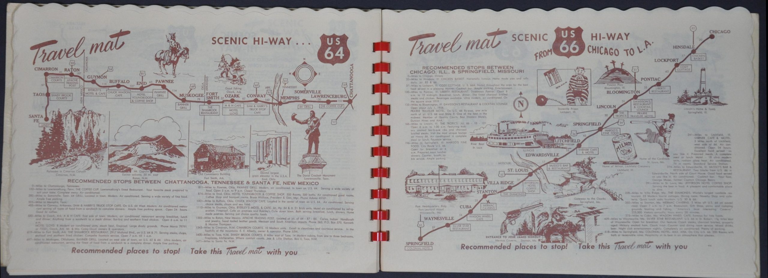
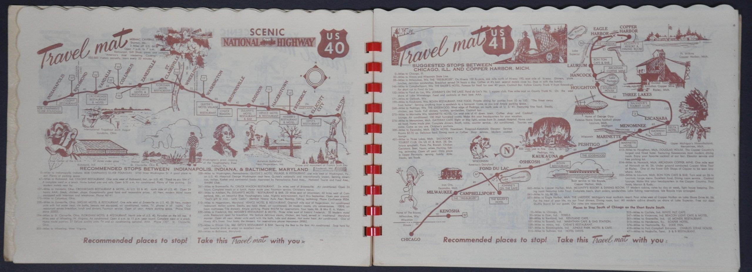
This fascinating relic from the Golden Era of automobile tourism was published around 1956 by Press Publishing Company of Prairie du Chien, Wisconsin. It contains a reduced example of the dozens of different ‘Travel Mats’ issued by owner and founder, J. Alvin Dru’yor. Each page presents a simplified map of a United States numbered highway that identifies primary towns and distances between points. Accompanying text and a diagrammatic chart provide recommendations for different traveler amenities (restaurants, hotels, mechanics, etc.) and locations of interest along the way. Often, illustrations will also be present, highlighting local historic sites, industrial products, and other places of pride across the nation.
Map Details
Publication Date: c. 1956
Author: J. Alvin Dru'yor
Sheet Width (in): 10.00
Sheet Height (in): 7.00
Condition: A-
Condition Description: Unpaginated collection of reduced Travel Mats covering U.S. Highways 2 - 421. Probably 50-60 double-sided pages in total. Red plastic spiral binding with original textured paper covers (lightly soiled and worn). Contents are generally very good, with faint toning and wear along the outer scalloped edges of each sheet.
Out of stock