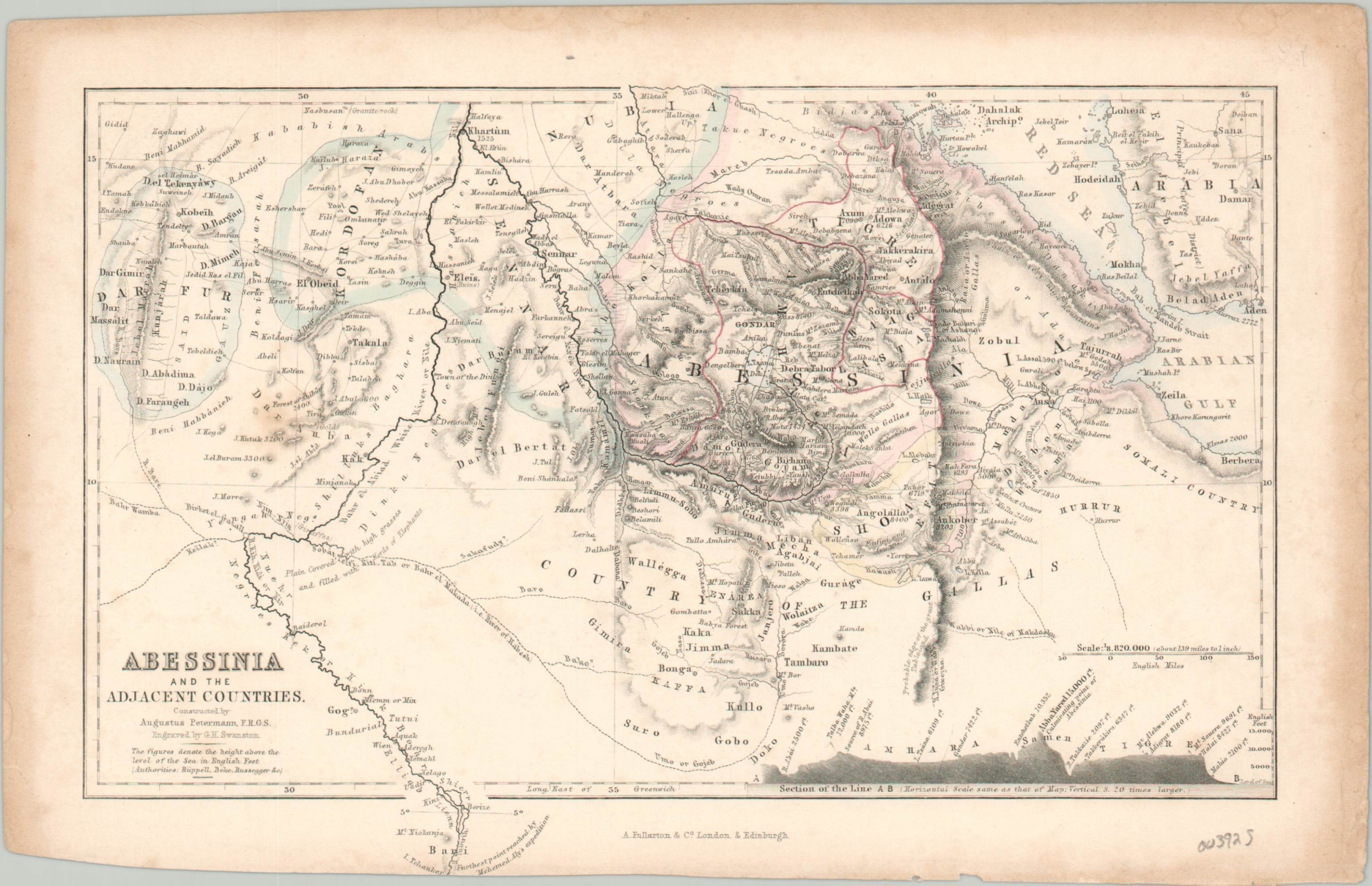
Abessinia and the Adjacent Countries
$40.00
Small map showing discoveries and exploration in northeast Africa.
1 in stock
Description
This finely engraved map covers portions of the modern-day countries of Sudan, Ethiopia, and Eritrea in northeastern Africa. A tremendous amount of information is presented within the image. Topography is depicted in hachure, geographic features and settlements are individually labeled, and scattered annotations provide additional context. Speculative details are shown with dotted lines and reflect the contemporary cartographic uncertainty of the region.
The map was designed by Augustus Petermann of the Royal Geographic Society and engraved by G.H. Swanston. Published by A. Fullarton & Company as part of the 1858 Gazetteer of the World or Dictionary of Geographical Knowledge.
Map Details
Publication Date: 1858
Author: Augustus Petermann
Sheet Width (in): 10.1
Sheet Height (in): 6.5
Condition: B+
Condition Description: Steel engraved map with minor soiling and a trimmed lower edge. Good to very good overall.
$40.00
1 in stock

