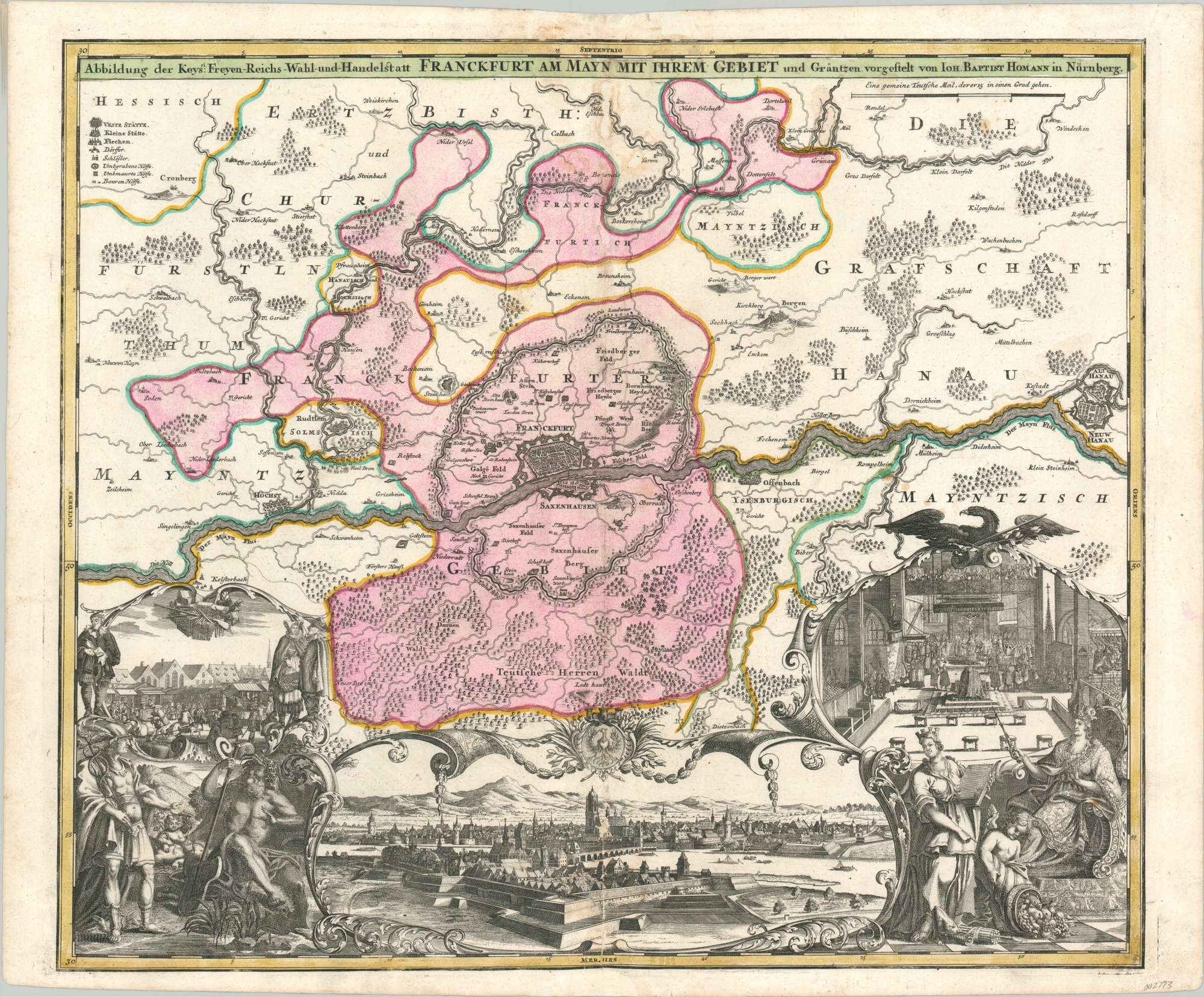
Abbildung der Keys Freyen-Reichs-Wahl-und-Handelstatt Frankfurt Am Mayn Mit Ihrem Gebiet
$250.00
Beautiful Homann map of the imperial free city of Frankfurt.
1 in stock
Description
The city of Frankfurt (formerly known as Frankfurt am Main to distinguish it from other cities of the same name) was one of the most important urban centers in the entire Holy Roman Empire. It was the site of imperial coronations, hosted one of the largest markets in the world, and suffered tremendously during the Black Death.
This map, published by Johann Baptiste Homann around 1717, captures the essence of the city near the beginning of the Enlightenment Period. The primary image shows an outline of Frankfurt and Saxenhausen on the opposite bank of the River Main. Geographic features and locations of interest in the immediate vicinity are depicted pictorially and individually labeled.
The fortifications are prominently shown and can be seen in further detail in the elaborate cartouche immediately below. On either side are allegorical representations of civilization, economic prosperity, and Germanic identity. Further scenes showing the market day and imperial coronation highlight two other events for which the city is known.
Map Details
Publication Date: c. 1717
Author: Johann Baptiste Homann
Sheet Width (in): 25.30
Sheet Height (in): 20.60
Condition: B
Condition Description: Heavy soiling and discoloration visible at the top of the sheet, along the vertical centerfold. Minor paper loss has occurred as a result. Otherwise the map is in good condition - a thick, bold impression issued on a clean, watermarked sheet. Old hand color.
$250.00
1 in stock

