
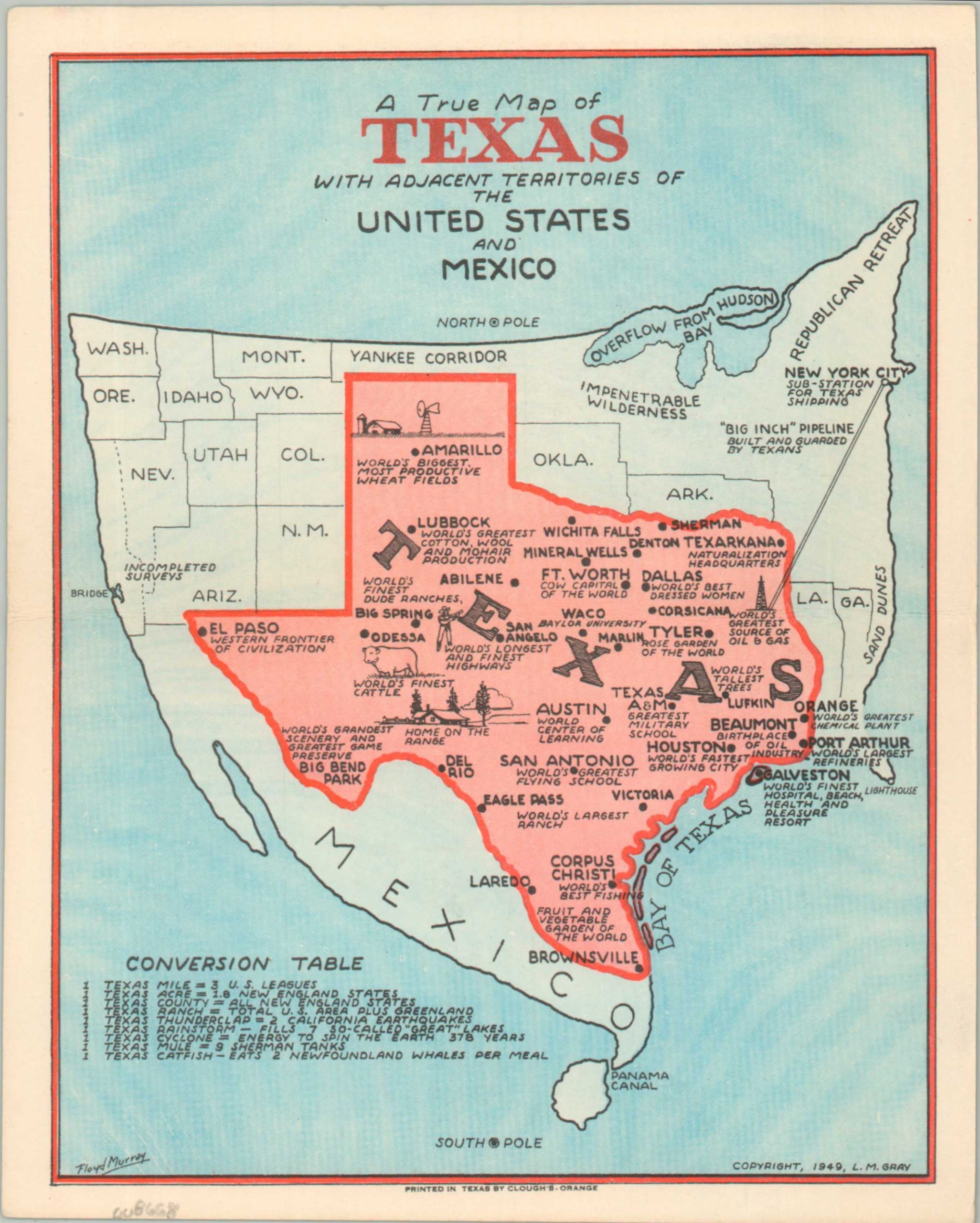
A True Map of Texas with Adjacent Territories of the United States and Mexico
$95.00
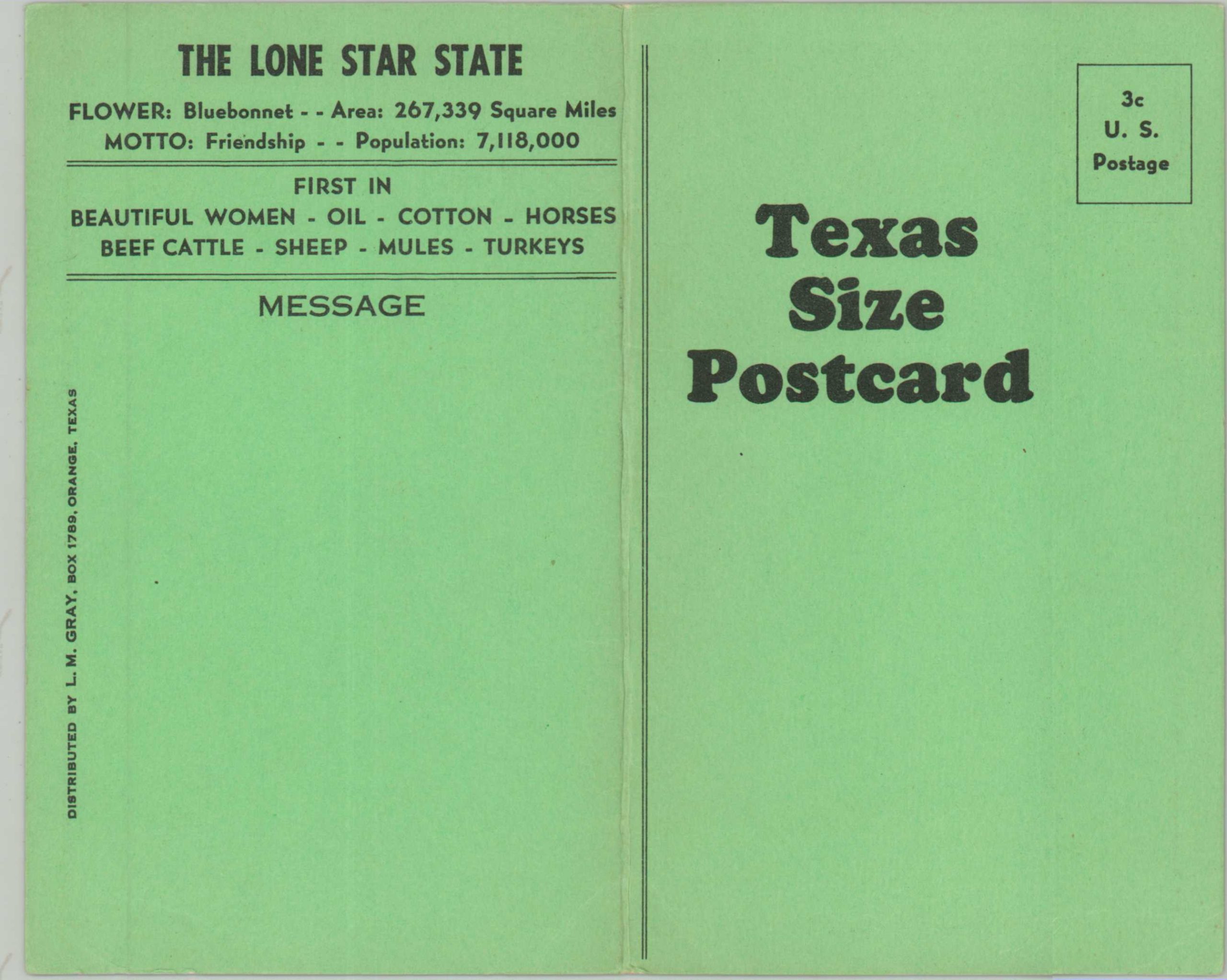
A ‘Texas-Sized’ postcard
1 in stock
Description
Everything is bigger in Texas, and this whimsical postwar postcard is no exception! An outsized Lone Star State squeezes out its neighbors in the Union in order to adequately express its bombastic claims of the biggest, best, and first in a variety of fields. Whether it’s the World’s Greatest Scenery in Big Bend Park or the World’s Biggest, Most Productive Wheat Fields near Amarillo, there is enough ‘bullshit’ on the map to fill up the World’s Largest Stockyard! A conversion table in the lower left rounds out the novelty – 1 Texas Range = Total U.S. Area Plus Greenland. The map was illustrated by Floyd Murray (signed, lower left) and copyrighted in 1949 by L.M. Gray. Printed in Orange, Texas by Clough’s.
Map Details
Publication Date: 1949
Author: Floyd Murray
Sheet Width (in): 7.00
Sheet Height (in): 8.60
Condition: A-
Condition Description: Double-sided postcard with creased lower corners and light toning, consistent with age. Very good overall.
$95.00
1 in stock