A Traffic Survey of the Chicago District
$275.00
Comprehensive overview of Chicago-area traffic published during the middle of World War II.
1 in stock
Description
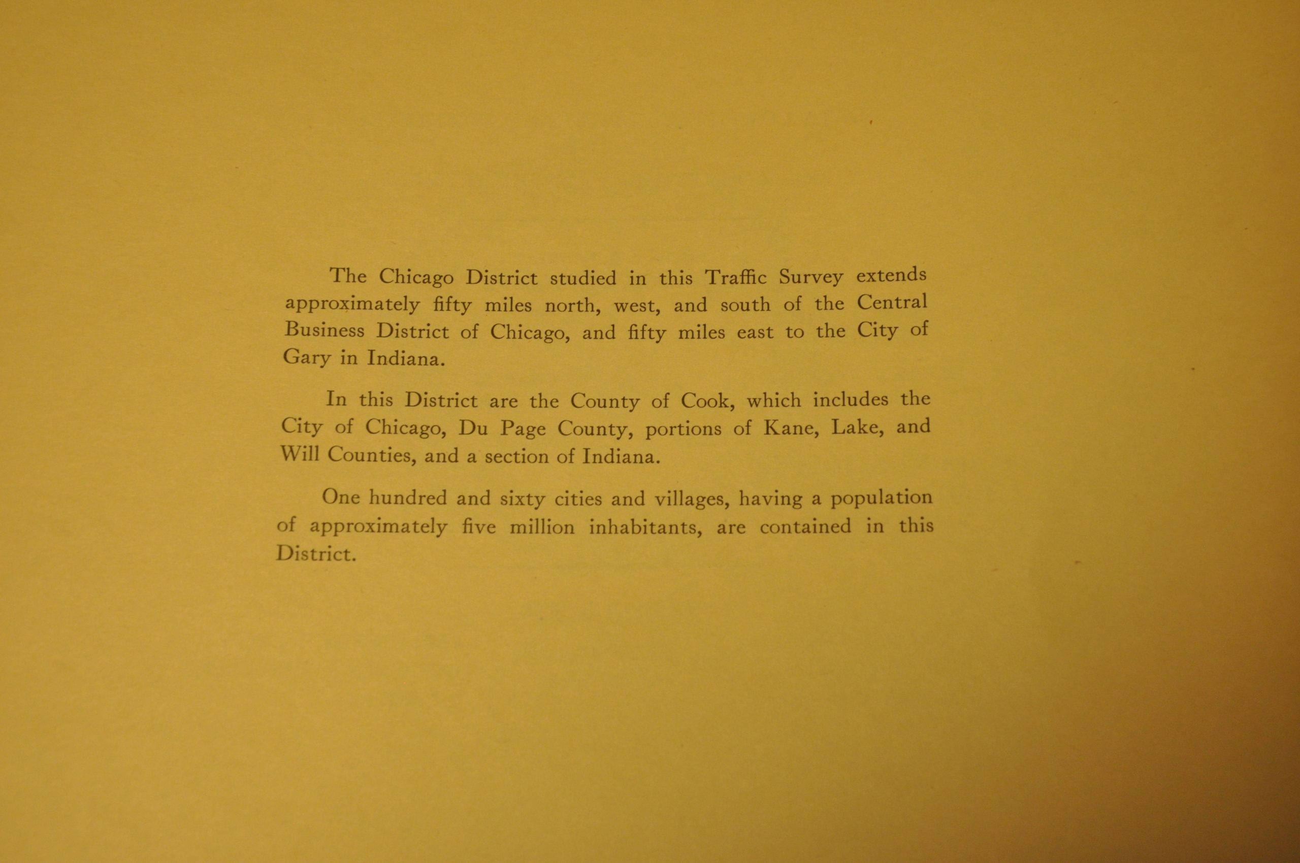
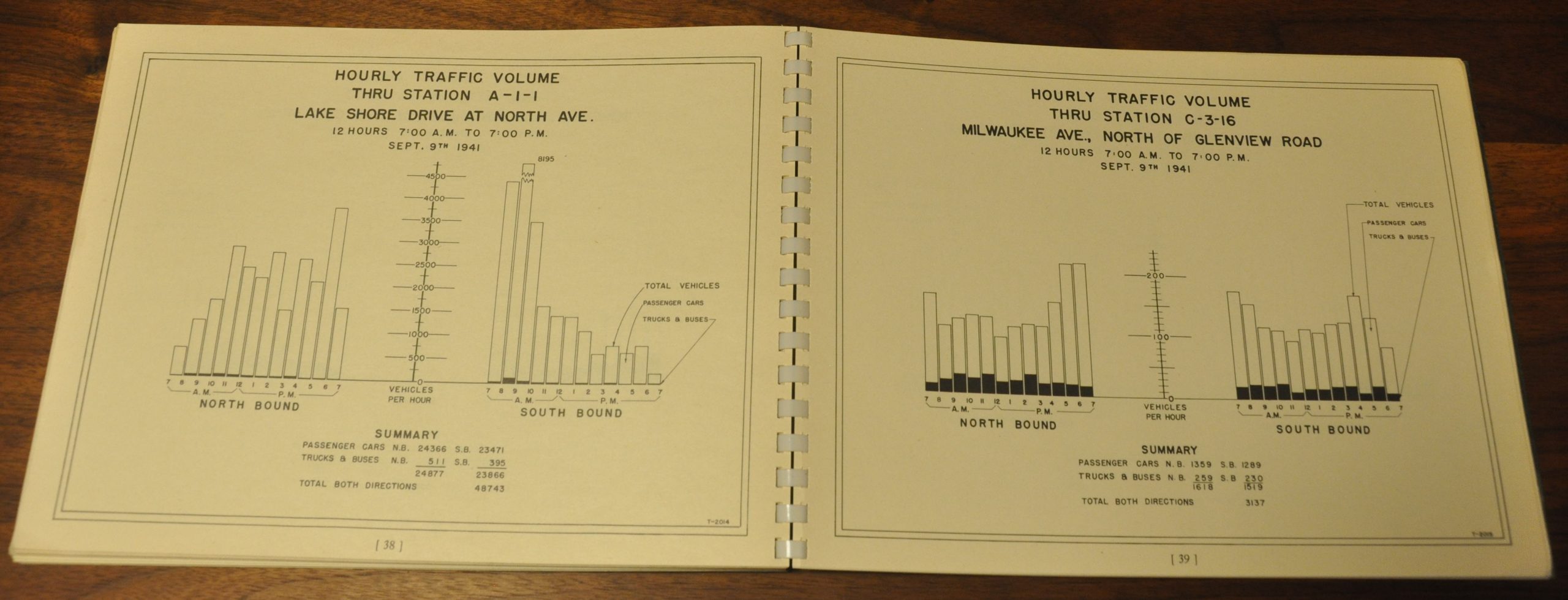
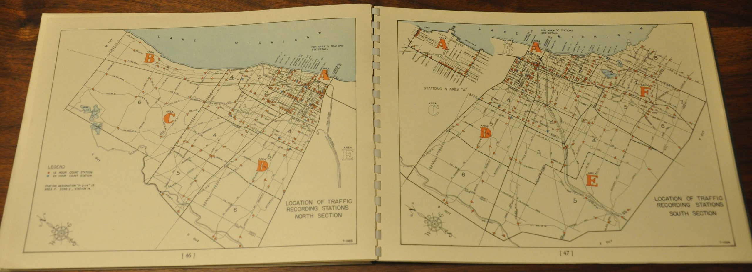
This is a fine example of the first traffic survey undertaken in the Chicago region, published by the Cook County Highway Department in 1943. Because of World War II, members of local Boy Scout troops were used to count cars and identify license plates – two data points which play a significant role in the report. Between its green covers are 68 pages of maps, graphs, tables and text outlining the method and results undertaken.
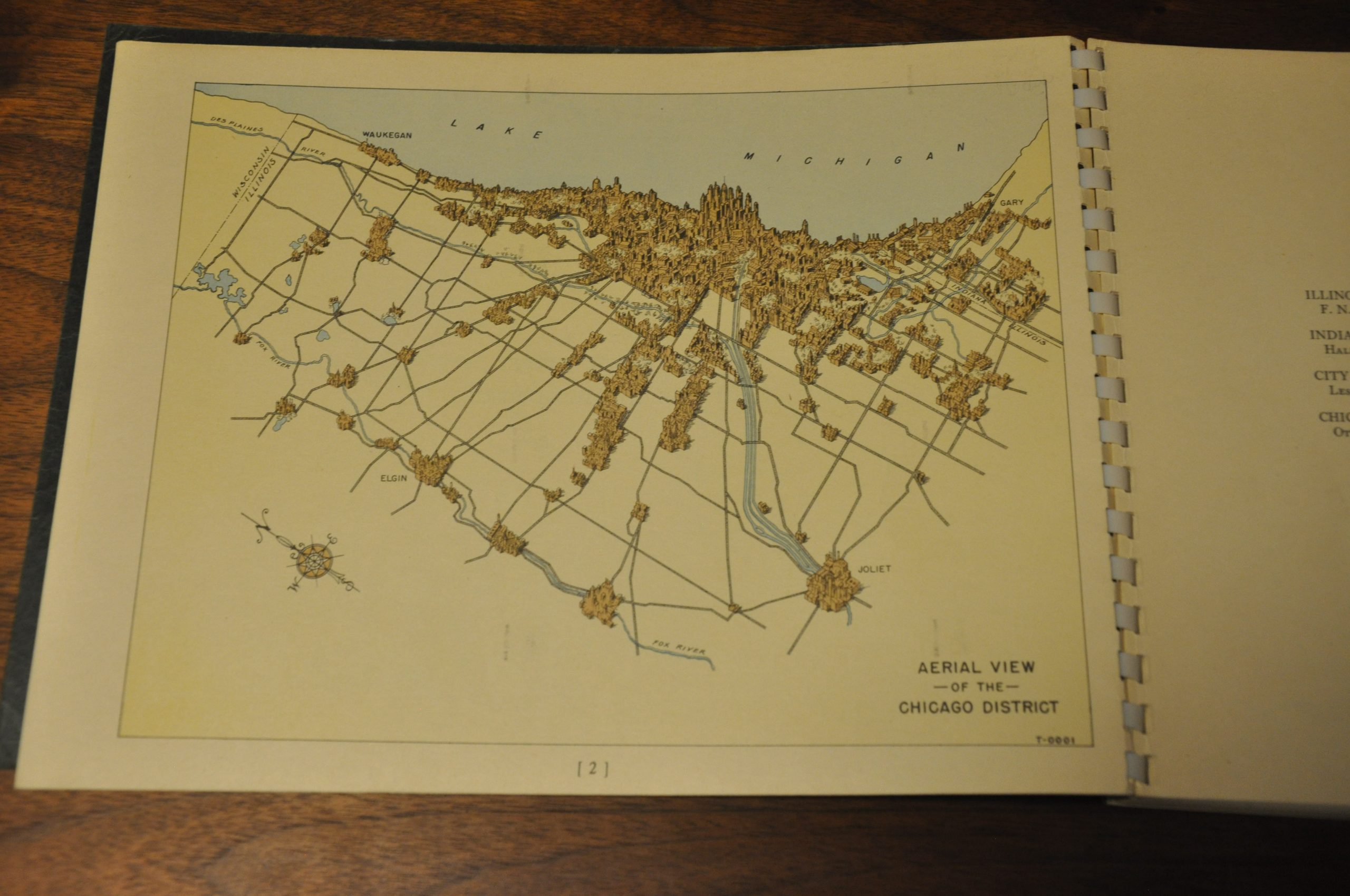
Peak volumes (generally, and by individual street), road bed widths, the prevalence of railroad crossings, vehicle type, recording station locations, and license plate origins are all subjects of study, among other related aspects. The pages vividly highlight the powerful draw of Chicago’s Loop in relation to the surrounding suburbs, and lay the foundation for the forthcoming system of Interstate Highways that would be constructed during the 1950’s and 1960’s. An interesting relic from a critical transitional period in the city’s transportation history.
Map Details
Publication Date: 1943
Author: Cook County Highway Department
Sheet Width (in): 11.00
Sheet Height (in): 8.50
Condition: A
Condition Description: 68 pp. booklet, spiral bound, with original green covers. Each page features a block of text opposite a graph, map, or table of statistics. The sheets are slightly toned from age, but otherwise in near fine condition, complete and exhibiting vibrant color. Sticker residue and a bit of extraneous creasing on the covers, otherwise in near perfect condition overall.
$275.00
1 in stock


