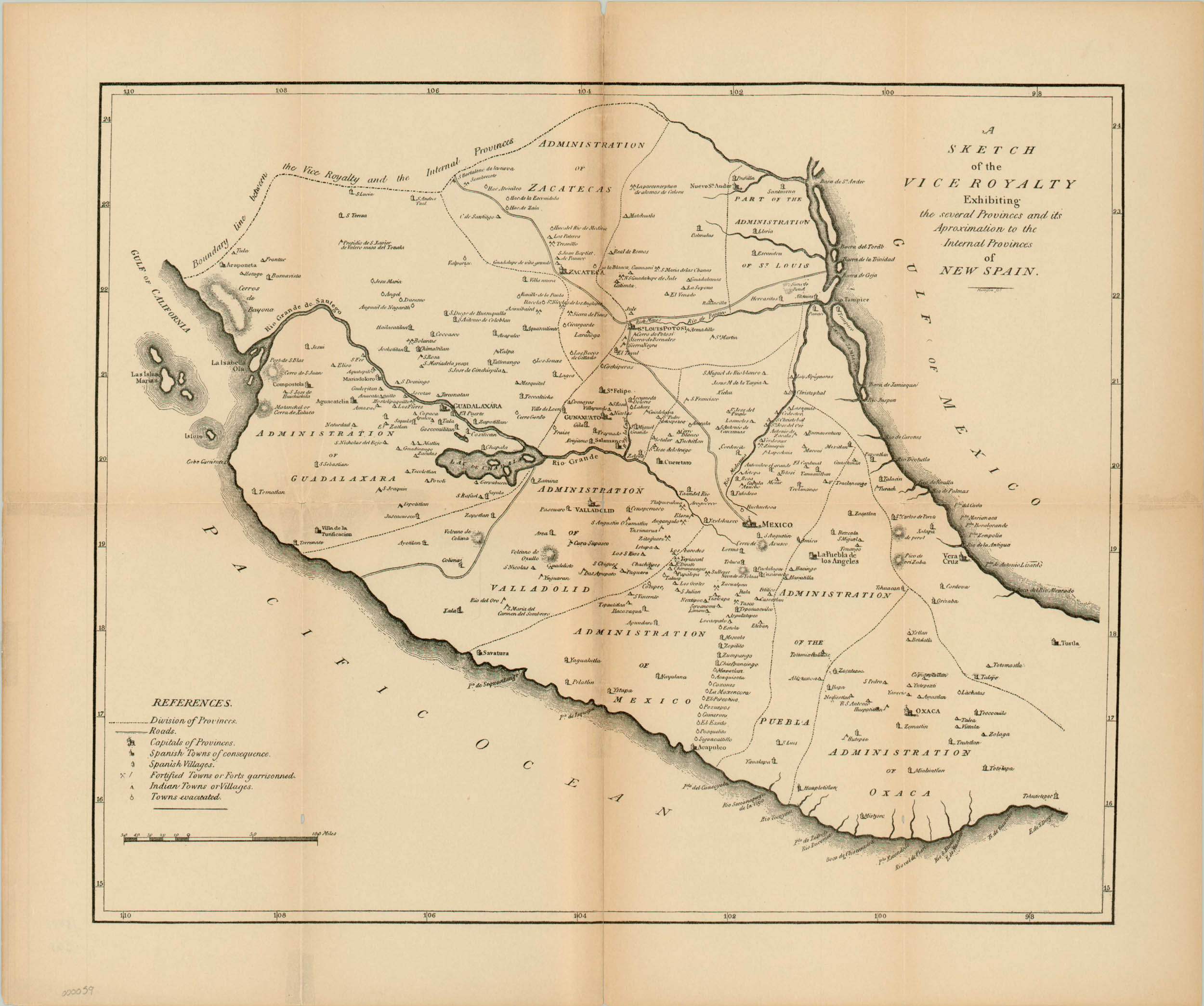
A Sketch of the Vice Royalty Exhibiting the several Provinces and its Aproximation to the Internal Provinces of New Spain
$150.00
Old reprint of an English map of Pike’s discoveries during his imprisonment in New Spain.
Description
Taken from the 1895 edition of Elliott Coues’ The Expeditions of Zebulon Montgomery Pike, this map depicts the political organization of New Spain in modern Mexico. Pike was a U.S. Army Officer sent by President Thomas Jefferson to explore the territory newly acquired through the Louisiana Purchase. After a successful return from his first mission to find the source of the Mississippi, Pike was then directed to explore the American Southwest. The group’s travels through the western Great Plains and Rocky Mountains would lead to the discovery of Pike’s Peak and contact with several Native American tribes. However, wrong turns were taken and Pike was eventually captured by the Spanish and taken to Mexico, where he learned a great deal about Spain’s military strength and civilian populations in the region. Pike was eventually released, and would go on to publish a wildly popular account of his travels in 1810, which included an early version of the map here.
Map Details
Publication Date: 1895
Author: Harrison
Sheet Width (in): 18.25
Sheet Height (in): 15.25
Condition: B
Condition Description: The map is in very good condition, with soiling and tearing along the original fold lines. Tears have been repaired on verso and the map's image remains strong.
$150.00

